Seasonal
Where the Leaf Front Is, and How to Find Out Before You Leave
Featured
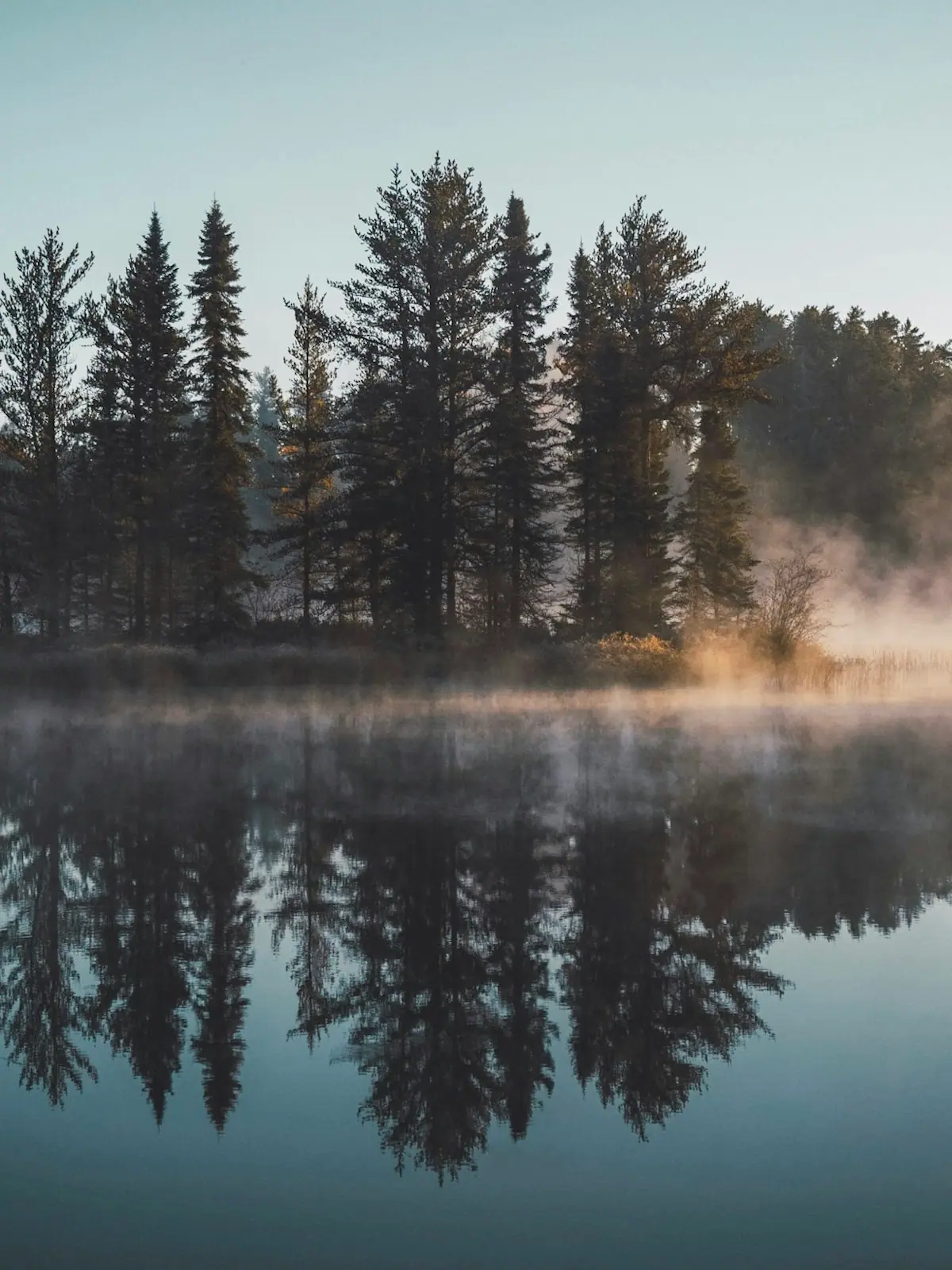
There is no peak date, only a front that comes down the mountain. The county spans about 2,300 feet of elevation, and that is the whole forecast.
Photograph: Unsplash
Seasonal
The southern end of the Appalachian Trail sits on the Fannin county line at 3,770 feet. For two months a year it is the busiest quiet place in Georgia.
 Unsplash
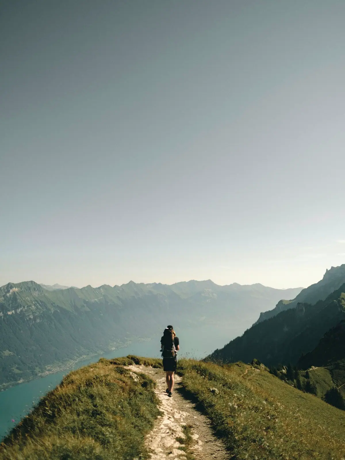
Springer Mountain stands at 3,770 feet on the line between Fannin and Gilmer counties, and it has been the southern terminus of the Appalachian Trail since 1958, when the start was moved from Mount Oglethorpe because development had overtaken it. At the summit there is a bronze plaque carrying the trail emblem, a benchmark, and a register that anybody can sign.
Through March and into April that register fills with the handwriting of people who have just begun a walk to Katahdin in Maine. Some will finish. Most will not. All of them are at the point in the journey where the pack is heaviest and the confidence is highest, and reading a page of that book is one of the more affecting free things available in north Georgia.
The mountain matters twice over. The Benton MacKaye Trail also starts here, with its own terminus about three tenths of a mile north of the summit, and runs close to 300 miles north from there. Anyone walking out of Blue Ridge on either long trail is starting within a few miles of the same spot.
Two ways up. The short one is Forest Service Road 42, which crosses the Appalachian Trail about nine tenths of a mile north of the summit, leaving a modest walk. The road is the hard part of that trip: it is gravel, it is slow, and conditions vary sharply with the season. The long one is the 8.5-mile Appalachian Approach Trail from the visitor centre at Amicalola Falls State Park, which is how most thru-hikers arrive and which is a full day in itself.
If you visit during the start season, a little courtesy goes a long way. Park tidily at the FS 42 crossing, which fills. Step aside on narrow sections for anyone carrying a full pack. Do not crowd the register while somebody is writing in it. And if you want to leave food or drink for hikers, check current Forest Service guidance first, because unattended supplies cause litter and wildlife problems more often than they help.
Springer Mountain Shelter, built in 1993, sits about two tenths of a mile north of the top with water nearby.
SourcingSummit elevation, the 1958 move of the terminus from Mount Oglethorpe, the plaque, benchmark and register, the Benton MacKaye Trail terminus 0.3 miles north, the FS 42 crossing 0.9 miles north, the 8.5-mile Approach Trail and the 1993 shelter as published for Springer Mountain. Road conditions change; check with the Blue Ridge Ranger District.
Plan around it
The pages that carry the practical detail behind this story — hours, costs, access and where it sits on Blue Ridge.
Things to do
Trails and waterfalls around Blue Ridge, Georgia: which Forest Service roads you can take a rental car down, what the falls are really…
Things to do
Free things to do in Blue Ridge, Georgia: waterfalls, the swinging bridge, the painted state line and 106,000 acres of forest that never…
Things to do
What to actually do in Blue Ridge, Georgia: the scenic railway, Mercier Orchards, Lake Blue Ridge and the Toccoa, with honest drive times…
Guide
A Weekend in Blue Ridge: Friday Afternoon to Sunday Lunch
Two nights, one big thing per day, and a grocery stop before the last winding miles. An itinerary built around how long the driving…
Newsroom
There is no peak date, only a front that comes down the mountain. The county spans about 2,300 feet of elevation, and that is the whole forecast.
Photograph: Unsplash

U-pick is a crop, not an opening time. A family arriving for apples in early August finds peaches, and one arriving for strawberries in July finds nothing.
Photograph: Unsplash

Same water as the Toccoa, different state, different name, and a river bed that is largely dry unless the TVA has opened a gate that morning.
Photograph: Unsplash
Who reported this
Trails & Rivers Editor
Wyatt guided on the Toccoa and the Ocoee before he wrote about either, and still reads the week by the dam release schedule rather than the calendar. He covers the national forest end of this county: Forest Service roads, the Benton MacKaye Trail, trout water and leaf timing. He will tell you a waterfall is a cascade rather than a plunge before you drive forty minutes of gravel to find out.
Our newsroom is machine-assisted and human-edited: stories are drafted from verified public sources and checked before they publish. How that works is set out in our editorial standards.