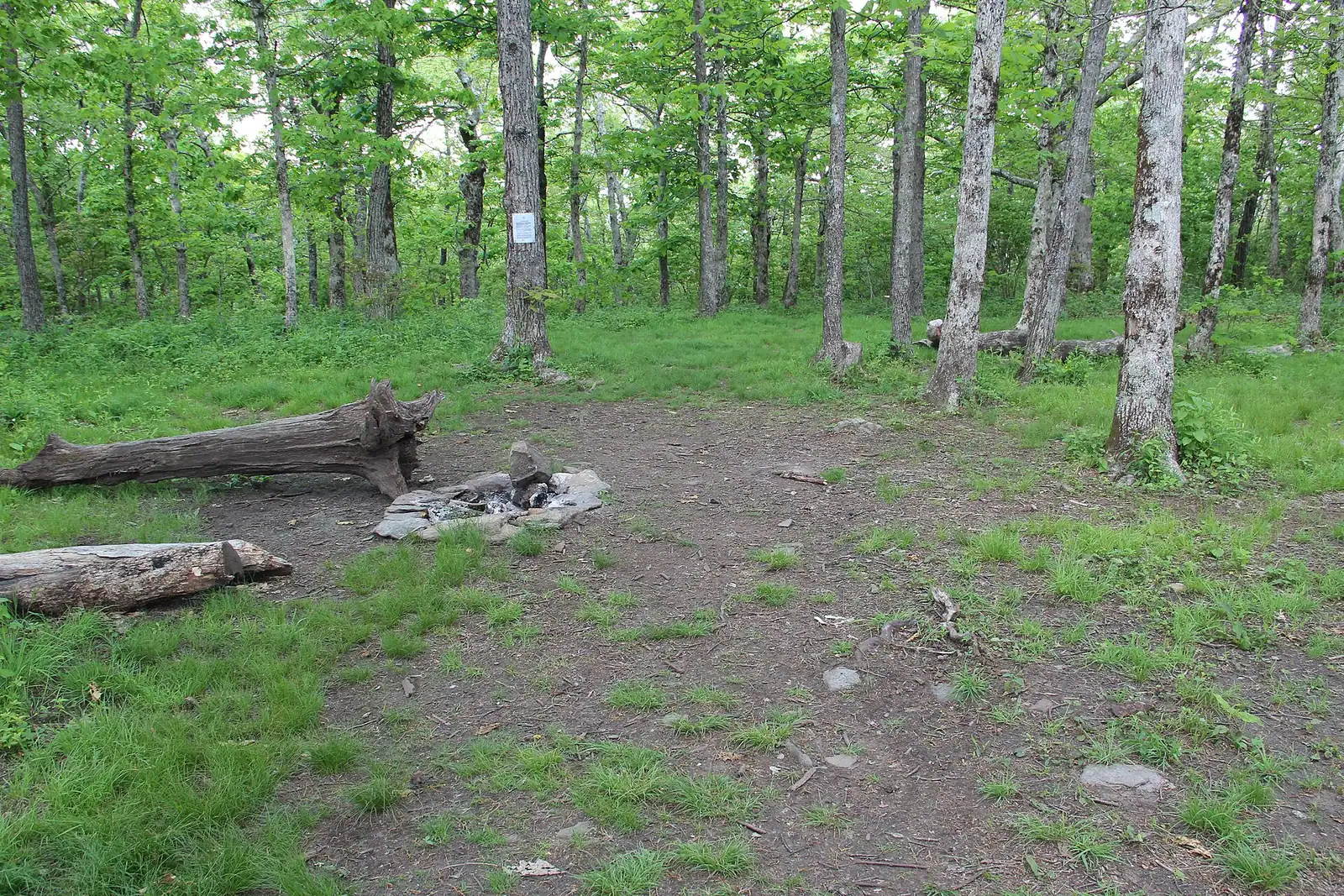
Trail
Springer Mountain
Free
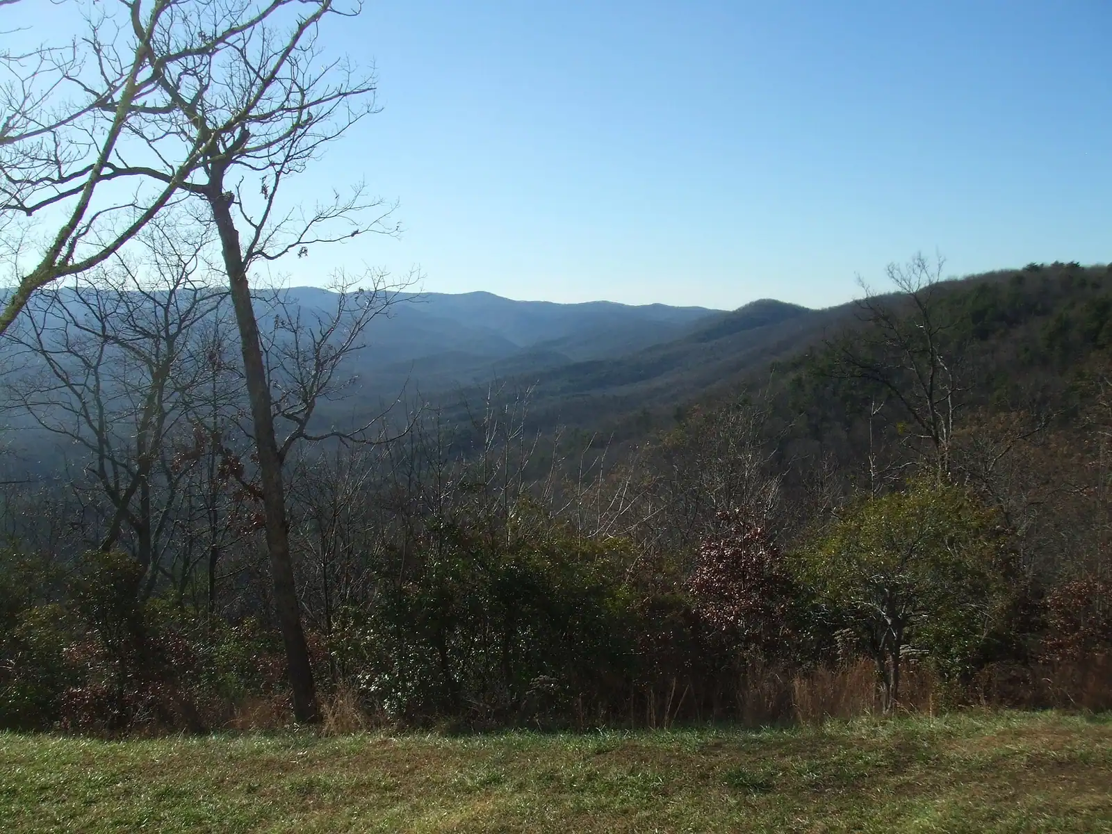
The Appalachian Trail's first white blaze sits at 3,770 feet, about an hour of mountain road from a Blue Ridge cabin.
1.5–7 hoursFree. No entry fee, no parking charge, no facilities.
Photograph: Thomson20192
Things to Do
Day trips from Blue Ridge, Georgia: the Ocoee release schedule, the Copper Basin, Amicalola Falls, Springer Mountain and the Cohutta, with honest drive times.
 Unsplash
Fannin County sits in the top corner of Georgia, which means the most interesting things within an hour of your cabin are frequently not in Georgia at all. The nearest serious whitewater is in Tennessee. So is the strangest landscape in reach, a basin that was stripped bare by copper smelting and then deliberately replanted over half a century. Any day-trip page that respects the state line is giving you a worse week than one that ignores it.
The other thing worth saying early is that mountain distances lie. Every drive time on this page is approximate, and every one of them assumes you are not behind a log truck on a two-lane road with no overtaking for eleven miles, which you will be. Add a third to whatever the map tells you, and add considerably more than that to anything that involves the GA-515 corridor on an October Saturday.
With that said, the geography is genuinely generous. Inside about an hour you can be at the southern end of the Appalachian Trail, in a 37,000-acre wilderness, at the tallest waterfall in Georgia, on Class III and IV whitewater, or standing in a museum built in the offices of a copper company that supplied most of the Confederacy's metal. Inside two you can be in Chattanooga or back in Atlanta.
What the county does not have is a single obvious day trip that everybody does, which is why this page is organised by what kind of day you want rather than by distance. A rafting day and a waterfall day are different logistics. A drive to see the leaves and a drive to walk in the Cohutta need different weather. And one of them, the Ocoee, has a timetable set by a hydroelectric utility rather than by the weather, which is the single most useful thing on this page and the reason it gets its own section.
One suggestion before you plan a week of driving. A cabin here is not a base to leave empty. The people who enjoy Fannin County most tend to do one or two proper day trips in a week and spend the rest of it within twenty minutes of the deck. Choose the two that suit the forecast rather than trying to tick all of them.
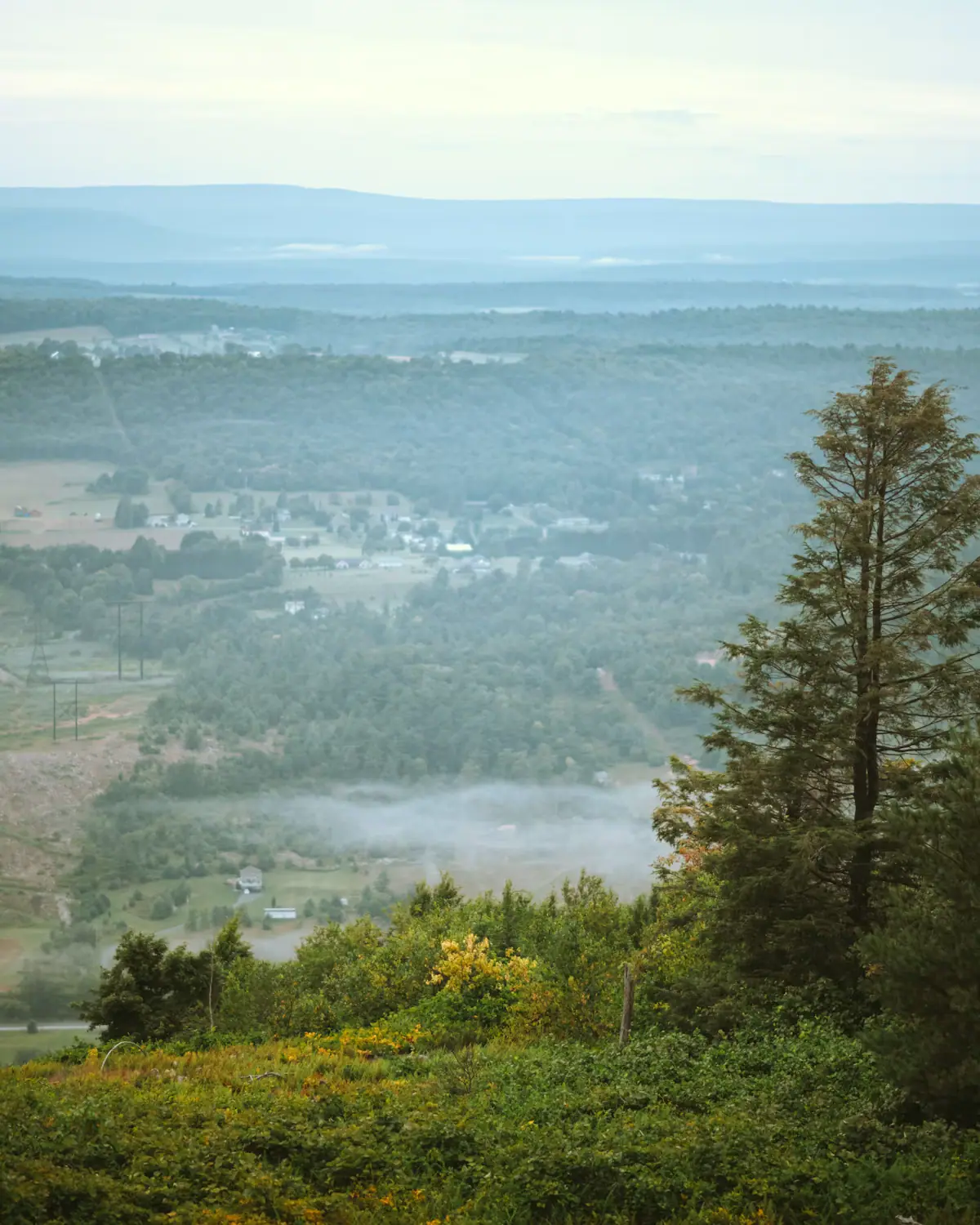
Half an hour over the line is the most unusual thing within reach of Blue Ridge, and almost nobody on holiday here goes to see it.
Copper ore was found in this basin in 1843 and commercial mining began in 1847. For over a century it was one of the great copper districts of the eastern United States, and during the Civil War it supplied something like ninety per cent of the Confederacy's copper. The damage was done by the smelting rather than the digging. Ore was roasted in open heaps, the sulphur dioxide that came off it turned to acid, the acid killed the vegetation, and whatever trees survived were cut to fuel the furnaces. Around 32,000 acres of a roughly 60,000-acre basin ended up as bare, gullied red ground with nothing growing on it. Photographs from the period look like another planet, and for a long time the bare basin was reputedly visible from orbit.
Then it was put back. Replanting started in 1939 with the TVA and the mining companies working together, a Civilian Conservation Corps camp arrived in 1941 to lime the acid soil, and the work continued for decades. The last mine closed in 1987. The slopes around Ducktown and Copperhill today carry young, even-aged forest, which is why they look subtly different from the ragged old woods on the Georgia side.
The Ducktown Basin Museum, set up in 1978 and moved in 1982 into the old Tennessee Copper Company headquarters on the Burra Burra mine site, is where the story is told properly. It is a rainy-day trip with genuine substance, and it is the best thing to do within an hour of here on a day the weather has cancelled everything else.
 Unsplash
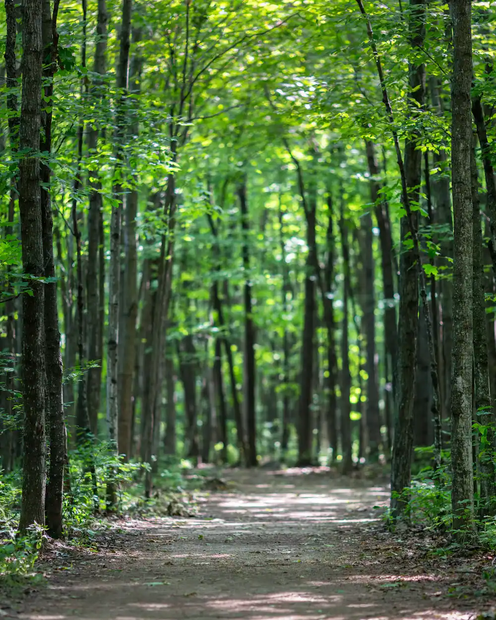
Two of the biggest names in southern Appalachian walking are inside about an hour and a quarter, and they are connected.
Amicalola Falls drops 729 feet in a series of cascades and is the highest waterfall in Georgia. The name is Cherokee and is usually translated as tumbling waters. It sits in a state park in Dawson County, and the great advantage of it for a family day is that the payoff does not require a hike: there is road and stair access to viewing platforms, and you can see the thing properly in a couple of hours. The stairs alongside the falls are a real climb, and doing them both ways is a genuine leg workout rather than a stroll.
From the visitor centre at that park, the Appalachian Approach Trail runs 8.5 miles north to Springer Mountain, 3,770 feet, in Fannin and Gilmer counties. Springer has been the southern terminus of the Appalachian Trail since 1958, when it was moved from Mount Oglethorpe because development was creeping up on the old start. Every northbound thru-hiker begins there, and in March and early April you will meet a great many of them.
You can also drive most of the way. Forest Service Road 42 crosses the trail about nine tenths of a mile north of the summit, which turns the pilgrimage into a short walk. Two cautions. FS 42 is a long gravel road that takes real care in a low car. And the Appalachian Trail Conservancy asks people to start from Amicalola instead, because vehicles overcrowding that trailhead can block emergency access.
The Benton MacKaye Trail, nearly 300 miles of it, starts from the same summit and runs west. It is the quieter of the two, and it crosses the Toccoa twice within the county.
 Unsplash
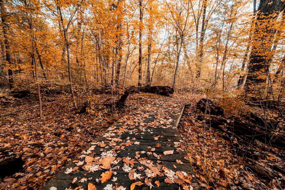
All of this sits inside the Chattahoochee National Forest, which covers 751,069 acres across eighteen north Georgia counties and was proclaimed a separate national forest on 9 July 1936. Two parts of it are worth a full day from here.
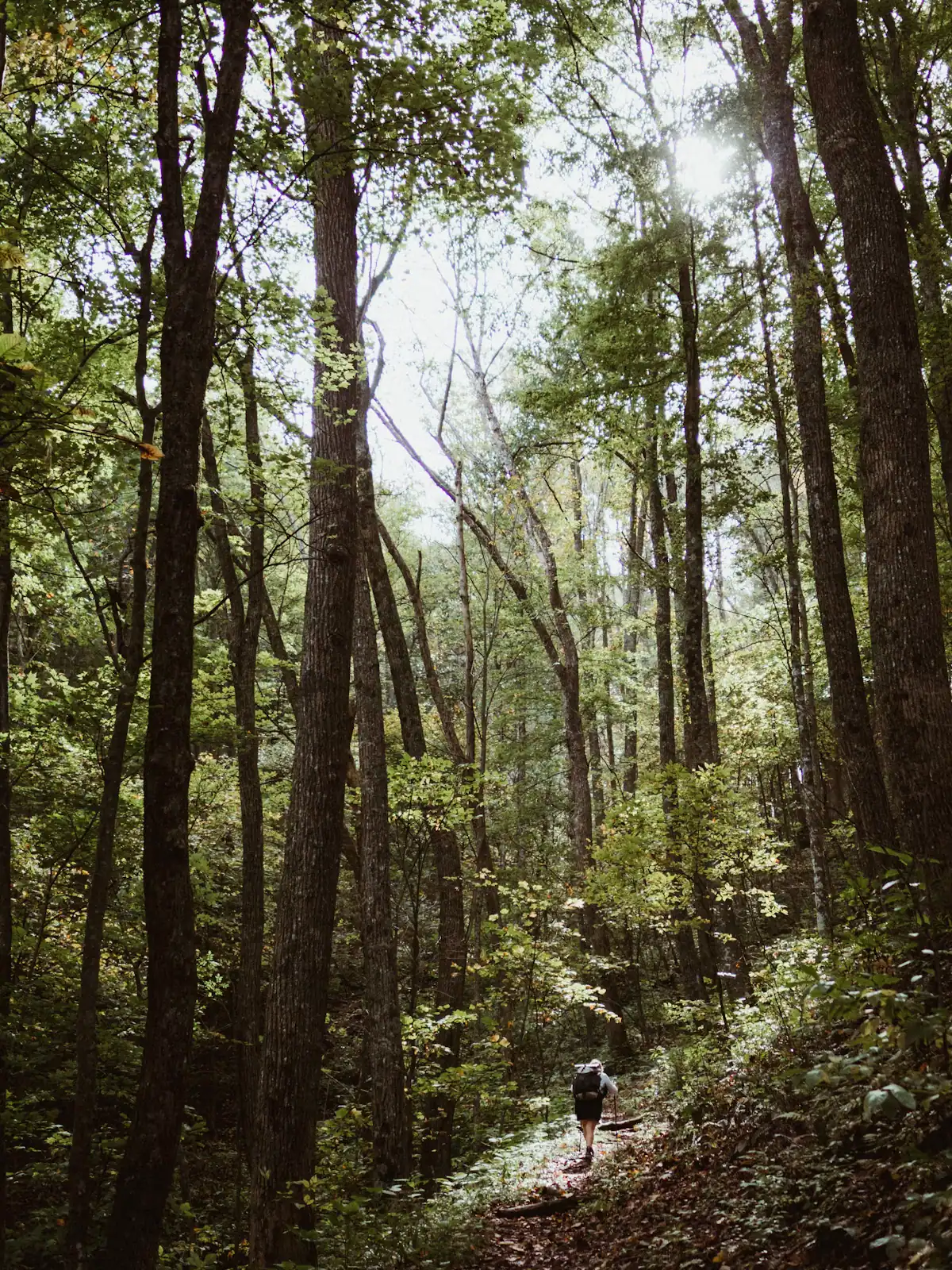
The Cohutta Wilderness, west of Blue Ridge, is one of the largest wilderness areas in the eastern United States at roughly 37,000 acres, with something like ninety miles of trail in it and essentially nothing else. No road crosses it. Federal wilderness designation means no vehicles, no bicycles, no chainsaws and no signposting of the kind you get in a state park. The Jacks River and Conasauga River trails are the classic routes and both involve repeated wading, which is a serious matter in cold water and after rain. Go prepared, go with a map and a compass rather than a phone, and tell somebody where you are going. This is the one day trip on this page that can go badly wrong.
Brasstown Bald is the opposite: Georgia's highest point at 4,784 feet, reached by a road to a car park and then a steep paved half-mile to a 360-degree observation deck. On a clear day you can see into four states. On the other days, which are many, you will pay to walk up into cloud. Check the webcam or the forecast before committing an hour and a quarter of driving to it, and go in the morning before the haze builds.
Both are at their best in the second half of October, and both are considerably harder to park at then.
When to go
A week here almost always contains one wet day and one perfect one, and matching the right trip to the right day is most of the skill.
Clear and cold. Brasstown Bald, and only on a day like this. Winter leaf-off also opens up long views from ridge roads that are a wall of green in July, which makes January and February a surprisingly good time for a scenic drive.
Warm and settled, summer. The Ocoee if the release schedule allows, or the Toccoa if it does not. Water beats altitude in August.
Wet. Ducktown and the Copper Basin museum, or Ellijay for the square, the shops and a long lunch. Waterfalls are also better in rain and worse to get to, so a short paved walk at Amicalola works and a wade in the Cohutta does not.
Second half of October. Everything is at its best and every car park is full. Leave at eight, not at ten, and avoid the GA-515 corridor at the times everyone else is on it.
Ice on the ground. Stay low. Forest roads at elevation hold ice for days, gravel switchbacks become impassable, and the gritting priority up here is the highways.
The one constant: fill the fuel tank in town before any of these. Petrol out in the county and over the state line keeps shorter hours than you expect, and there is nothing at all on the forest roads.
How they compare
Approximate driving times from downtown Blue Ridge, in normal traffic and good conditions. Treat them as optimistic.
| Where | Roughly | What it is | Best for |
|---|---|---|---|
| McCaysville and Copperhill | 20 min | Twin border towns with a painted state line | A short morning, or the railway's layover |
| Ellijay and Gilmer County | 30 min | The Apple Capital of Georgia, a courthouse square, orchards | An apple day, a rainy-day mooch |
| Ducktown and the Copper Basin | 40–50 min | A mining landscape and the museum that explains it | A cold or wet day; genuinely interesting |
| Ocoee River put-ins | 45–60 min | Class III–IV dam-released whitewater | A rafting day, on a release day only |
| Cohutta Wilderness trailheads | 60–75 min | 37,000 acres of wilderness, about 90 miles of trail | A serious walk; no facilities |
| Amicalola Falls | About 75 min | Georgia's highest waterfall at 729 ft | Families, a short big-payoff walk |
| Springer Mountain via FS 42 | About 60 min, much of it gravel | The southern end of the Appalachian Trail | Pilgrimage; not a casual drive |
| Brasstown Bald | About 75 min | Georgia's highest point at 4,784 ft | A clear day, and only a clear day |
| Helen and Dahlonega | 90 min or so | A Bavarian-themed town; a gold-rush square and wineries | A long day; better as an overnight |
| Chattanooga | About 2 hours | A proper city with an aquarium and a riverfront | A wet week, or teenagers |
| Atlanta | About 2 hours | The airport, and everything else | Arrival and departure |
Before you book
This is the single most important practical fact on the page, and people learn it the hard way every season.
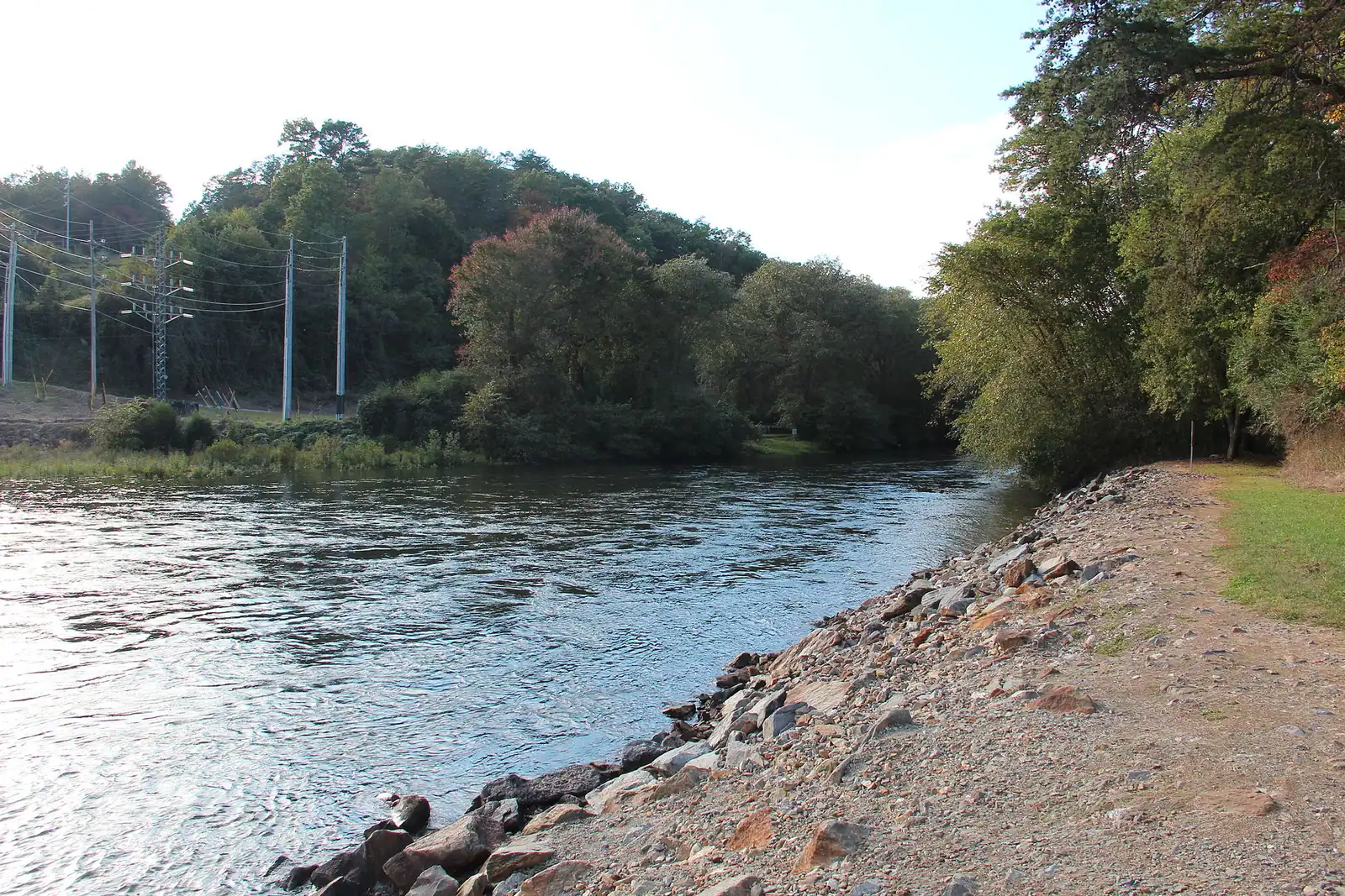
The Ocoee is the same river as the Toccoa. It changes name at the state line in the twin towns, and a short way downstream the Tennessee Valley Authority has it dammed. Three TVA dams sit on this river and between them they generate around 67,000 kilowatts. That matters to a rafter because the water in the famous rapids is there when the utility sends it and not otherwise.
On a release day, the Ocoee is one of the busiest whitewater rivers in the United States: Class III and IV, continuous, warm in summer, and commercially rafted at enormous volume. More than five million people are estimated to have rafted it, and the industry around it is worth something in the order of $43 million a year. The upper section carried the canoe slalom events of the 1996 Summer Olympics, which is why there is a purpose-built course on a river in rural Polk County.
On a non-release day you will be looking at a bed of boulders with a trickle through it.
So: book the raft trip first and build the day around the date the operator gives you, rather than deciding on the morning that today feels like a rafting day. Release schedules are published in advance by TVA and by the outfitters, they differ between the middle and upper sections, and they thin out considerably outside the summer season. Never drive over on spec.
If your dates do not line up, the Toccoa on the Georgia side is a gentle, floatable, family river and an entirely different proposition. It is not a substitute for the Ocoee, and it is a better afternoon with a seven-year-old.
On the ground
Every place below has its own page — hours, parking, what it costs and what to expect when you get there.
The Appalachian Trail's first white blaze sits at 3,770 feet, about an hour of mountain road from a Blue Ridge cabin.
1.5–7 hoursFree. No entry fee, no parking charge, no facilities.
Photograph: Thomson20192
Georgia's tallest waterfall at 729 feet, about an hour south, with a staircase of six hundred-odd steps up the side of it.
1.5–5 hoursGeorgia state park daily parking pass per vehicle; annual passes available.
Photograph: Thomsonmg2000
The same water as the Toccoa, over the state line and released from a dam: class III-IV rafting about an hour from a Blue Ridge cabin.
4–8 hoursThe river corridor is free to visit; commercial rafting is booked and paid per person.
Photograph: Thomson200
A Georgia town of about 1,150 people that shares its high street, its river and its bridge with a different state.
1–3 hoursFree. Walking to the state line and the river costs nothing.
Photograph: Unknown authorUnknown author or not provided
The quieter long trail: 300 miles from Springer Mountain to the Smokies, and the one that actually runs through Fannin County.
1–8 hoursFree. No permit required for day walking, no facilities on the trail.
Photograph: Unsplash
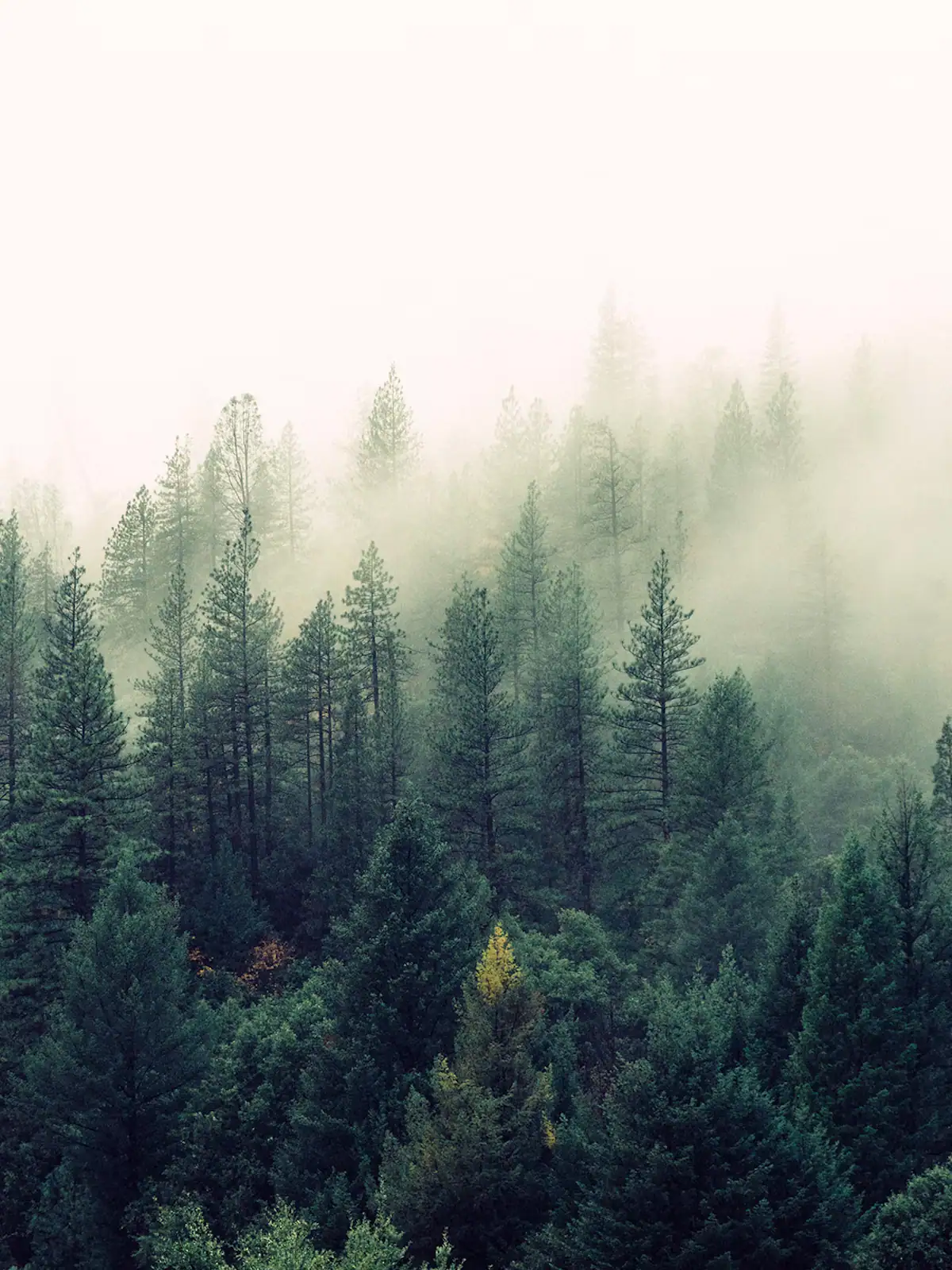
Nearly 37,000 acres of designated wilderness on the county's western edge: no blazes, no signal and dozens of river crossings.
5–10 hoursFree. No entrance fee, no facilities and no staffed access point.
Photograph: Unsplash
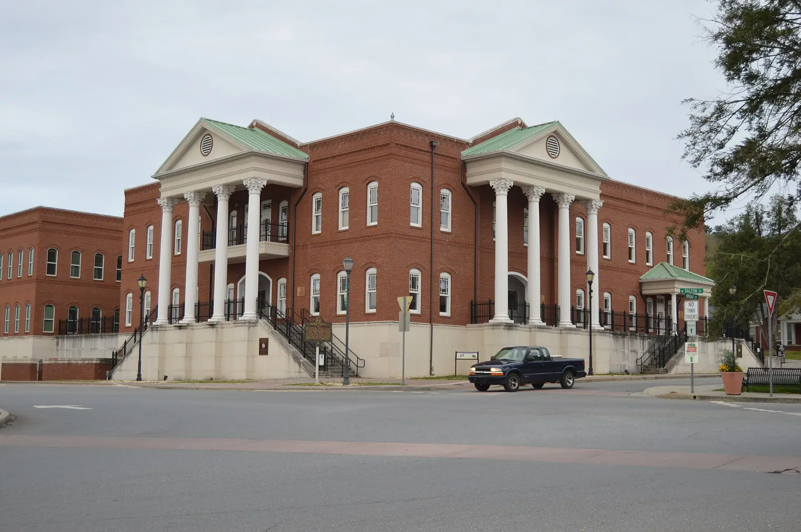
The Apple Capital of Georgia: a courthouse square, two rivers meeting, and orchards that turn the whole county into a queue in October.
2.5–6 hoursFree to visit. Orchards charge for fruit and for u-pick by weight.
Photograph: Nyttend
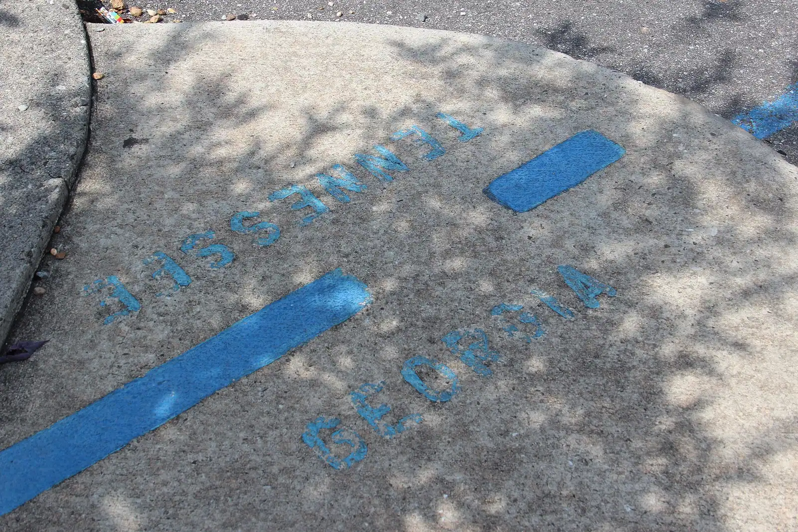
The Tennessee half of the twin towns, and the edge of a copper basin that was stripped to bare red clay and then replanted.
1–2 hoursFree. Walking the town, the bridge and the river bank costs nothing.
Photograph: Thomson20192
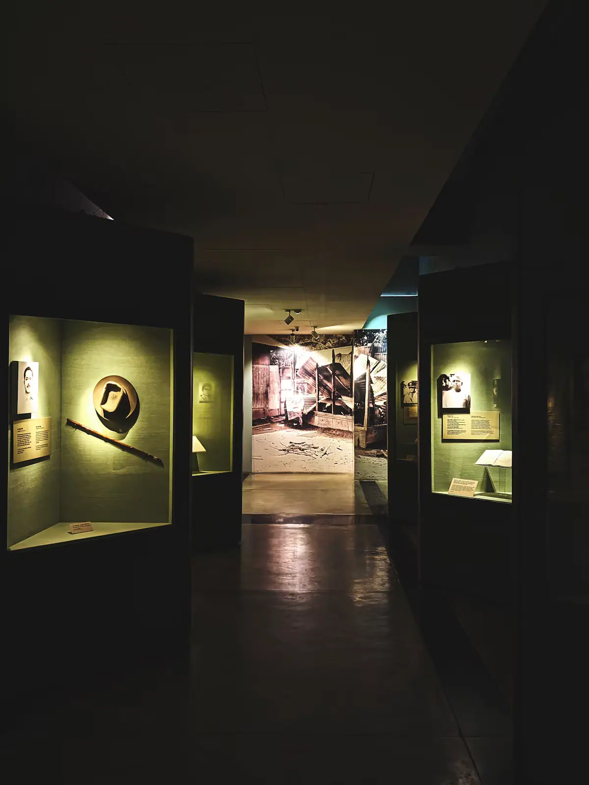
Casts, field recordings and expedition kit on Highway 515: the county's most reliable hour indoors when the weather turns.
1–1.5 hoursAround $9 adults and teens, $6 children 5-12, under 5s free.
Photograph: Unsplash
Straight answers
No. The Ocoee is dam-controlled by the TVA, and the whitewater exists on scheduled release days rather than whenever it rains. On a release day it is Class III and IV and one of the busiest rafted rivers in the country; on other days it is a bed of boulders. Release schedules are published in advance, differ between the middle and upper sections and thin out outside summer. Book first, then plan the day around it.
Roughly 45 minutes to an hour to the main put-ins, depending which section you are rafting and which route you take over the state line. It is the same water as the Toccoa: the river changes name at McCaysville and Copperhill and is dammed a short way downstream in Tennessee. Treat that drive time as optimistic on summer weekends, when the traffic to the outfitters is heavy.
If the southern end of the Appalachian Trail means something to you, yes. Springer is 3,770 feet, in Fannin and Gilmer counties, and has been the trail's southern terminus since 1958. Forest Service Road 42 crosses the trail about nine tenths of a mile from the summit, but it is a long gravel road that needs care in a low car. The Appalachian Trail Conservancy prefers people to walk the 8.5-mile approach from Amicalola Falls.
About an hour and a quarter each way, and two to three hours once you are there. At 729 feet it is the highest waterfall in Georgia, and the good news for families is that you do not have to hike to see it: there is road and stair access to viewing platforms. The staircase alongside the falls is a genuine climb though, so pace it if you are doing the full ascent and descent.
Ducktown, over the Tennessee line. The Copper Basin was stripped to bare red ground by a century of copper smelting, about 32,000 acres of it, and then replanted from 1939 onward, and the Ducktown Basin Museum on the old Burra Burra mine site tells the story properly. It is indoors, it is half an hour away and it is far more interesting than most wet-weather options. Ellijay's square is the other good wet-day choice.
Only for prepared walkers. It is roughly 37,000 acres with about ninety miles of trail, no roads through it, no signposting of the state-park kind and no facilities. The classic Jacks River and Conasauga River routes involve repeated wading, which is serious in cold water or after rain. Take a map and compass rather than relying on a phone, tell someone your plan, and allow an hour or more to reach the trailheads.
On a clear day, absolutely: it is Georgia's highest point at 4,784 feet, the summit deck gives a 360-degree view into several states, and the walk up from the car park is a steep but short paved climb. On a hazy or cloudy day it is an hour and a quarter of driving to stand in fog. Check conditions before you commit, and go in the morning before the summer haze builds up.
Both are around two hours in decent conditions, Atlanta to the south and Chattanooga to the north-west. Neither is a casual trip from a cabin, but Chattanooga works as a wet-week escape with an aquarium and a riverfront, and Atlanta is mostly relevant as the airport you flew into. Allow considerably longer on autumn Sunday afternoons, when everybody in north Georgia is driving home at once.
Keep exploring
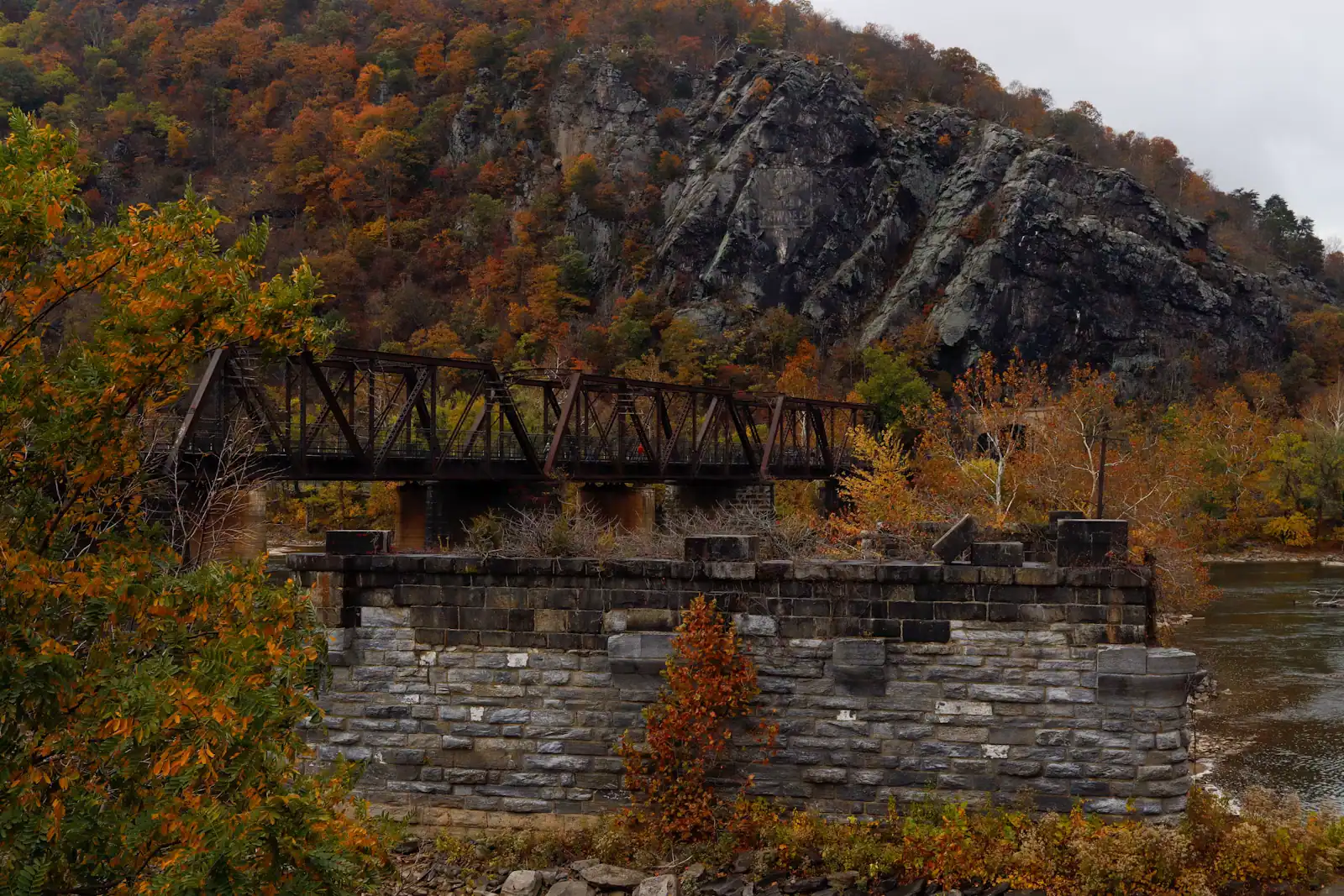
Blue Ridge is here because a railway got here first. The Marietta and North Georgia pushed its line this far up the mountains in 1886, the town was…
Photograph: Unsplash
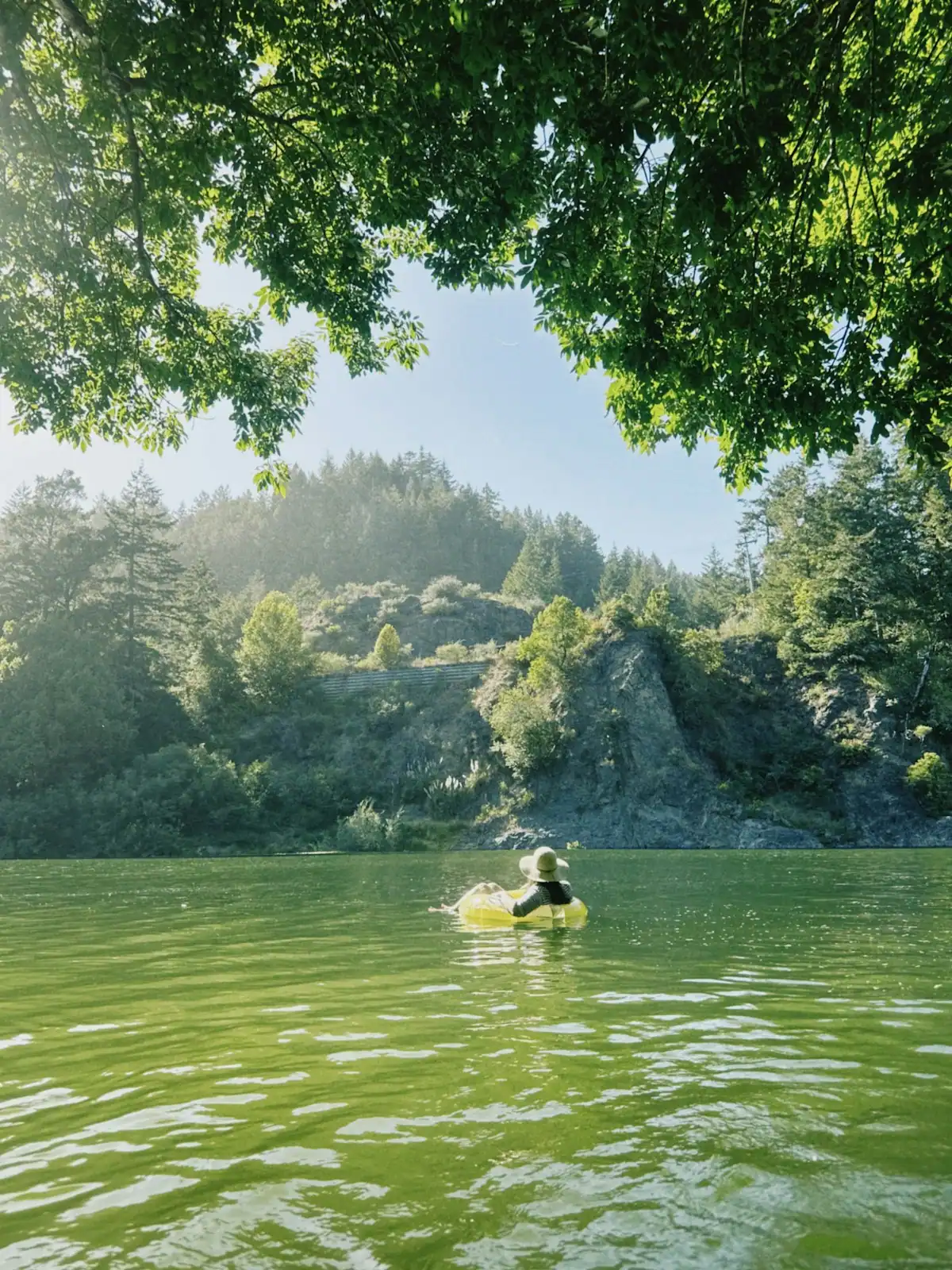
There are two rivers in this conversation and they are not interchangeable. The Toccoa above Lake Blue Ridge is a shallow, rocky, mostly Class I…
Photograph: Unsplash
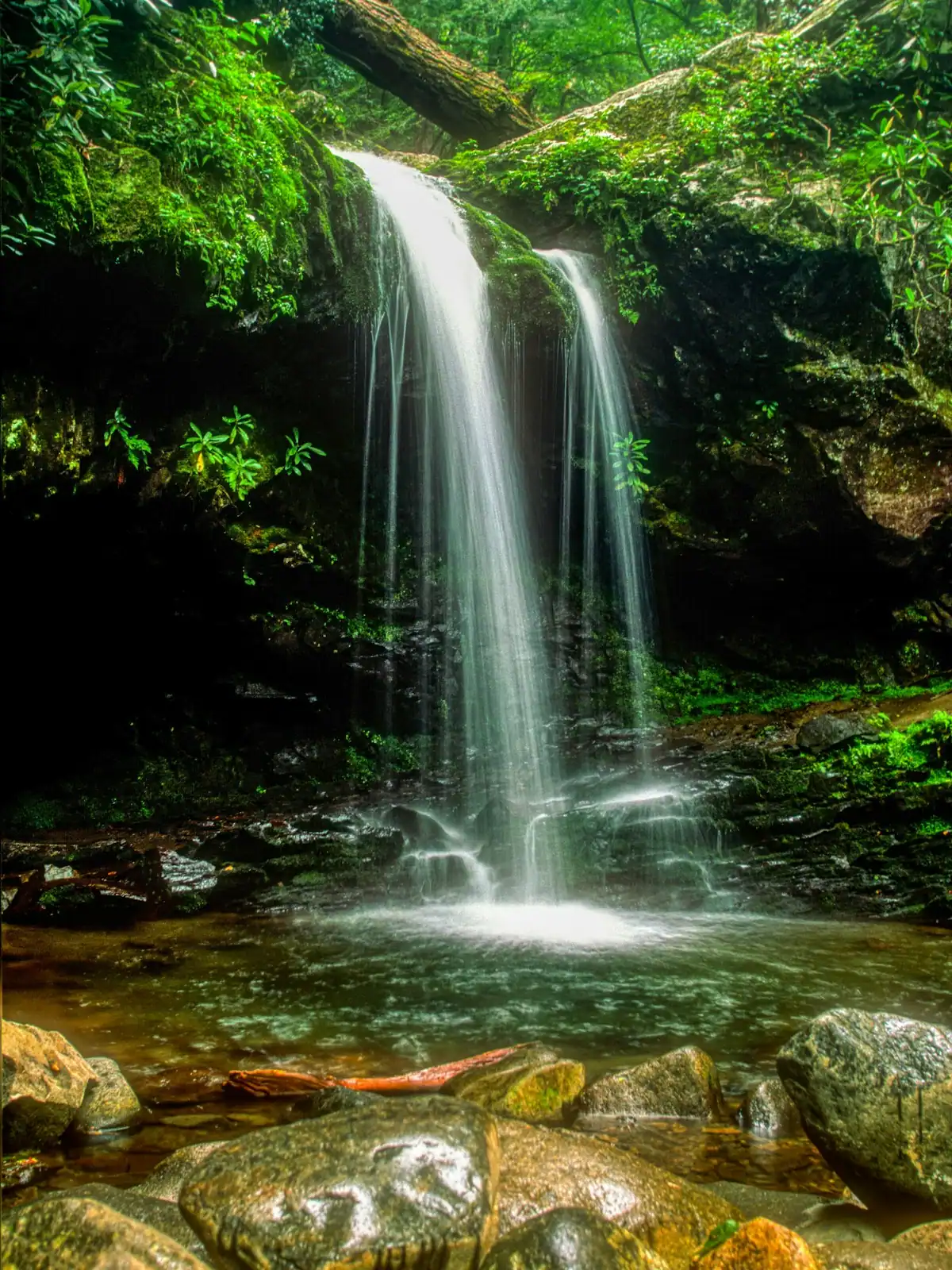
Fannin County holds something in the region of 106,000 acres of the Chattahoochee National Forest, roughly three hundred miles of trail and a…
Photograph: Unsplash

Fannin County has roughly 25,000 residents spread across 392 square miles, and about nine in ten of them live outside any town limit. That is a…
Photograph: Unsplash
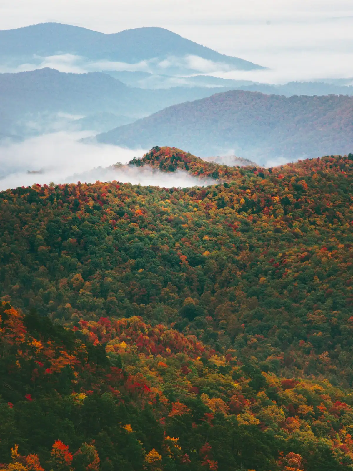
Autumn is the reason Fannin County has a visitor economy of the size it has. It is also the season most often mistimed, because people book it…
Photograph: Unsplash
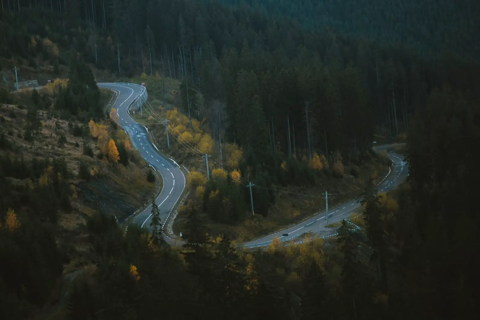
You need your own car. That is the whole transport answer for Fannin County, and everything else on this page is detail hanging off it. There is no…
Photograph: Unsplash
Read next
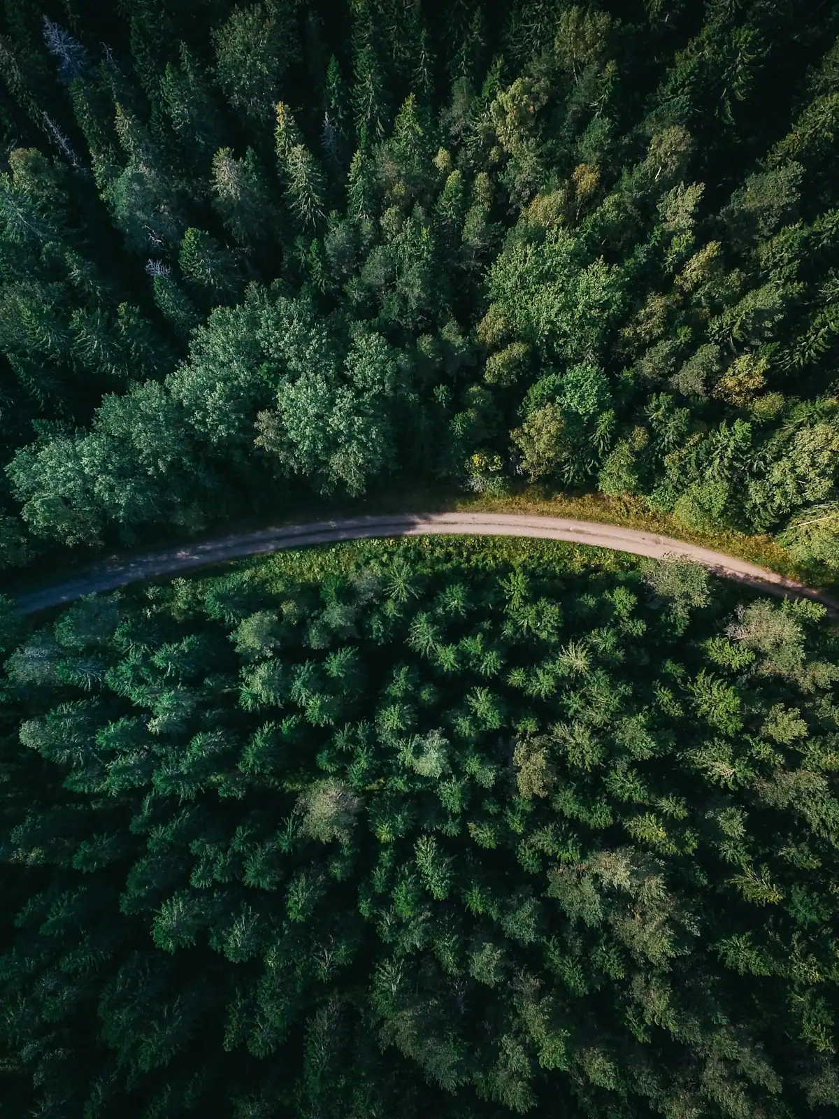
Two nights, one big thing per day, and a grocery stop before the last winding miles. An itinerary built around how long the driving actually takes.
6 min readDarlene Pickett
Photograph: Unsplash
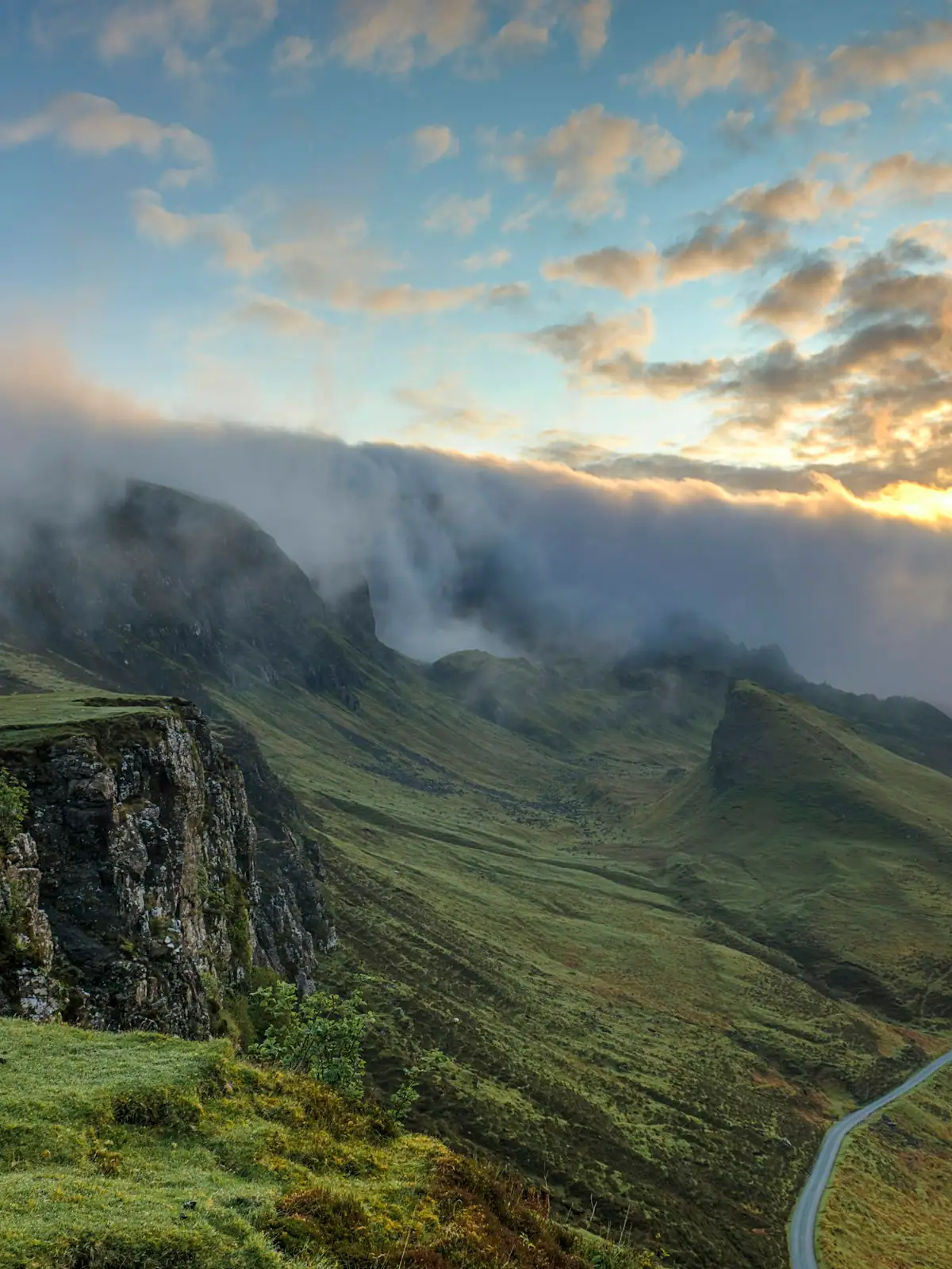
A town of 1,250 people, a county where nine in ten residents live outside any town at all, and three centres that point in three different directions. Here is how it fits together.
6 min readDarlene Pickett
Photograph: Unsplash
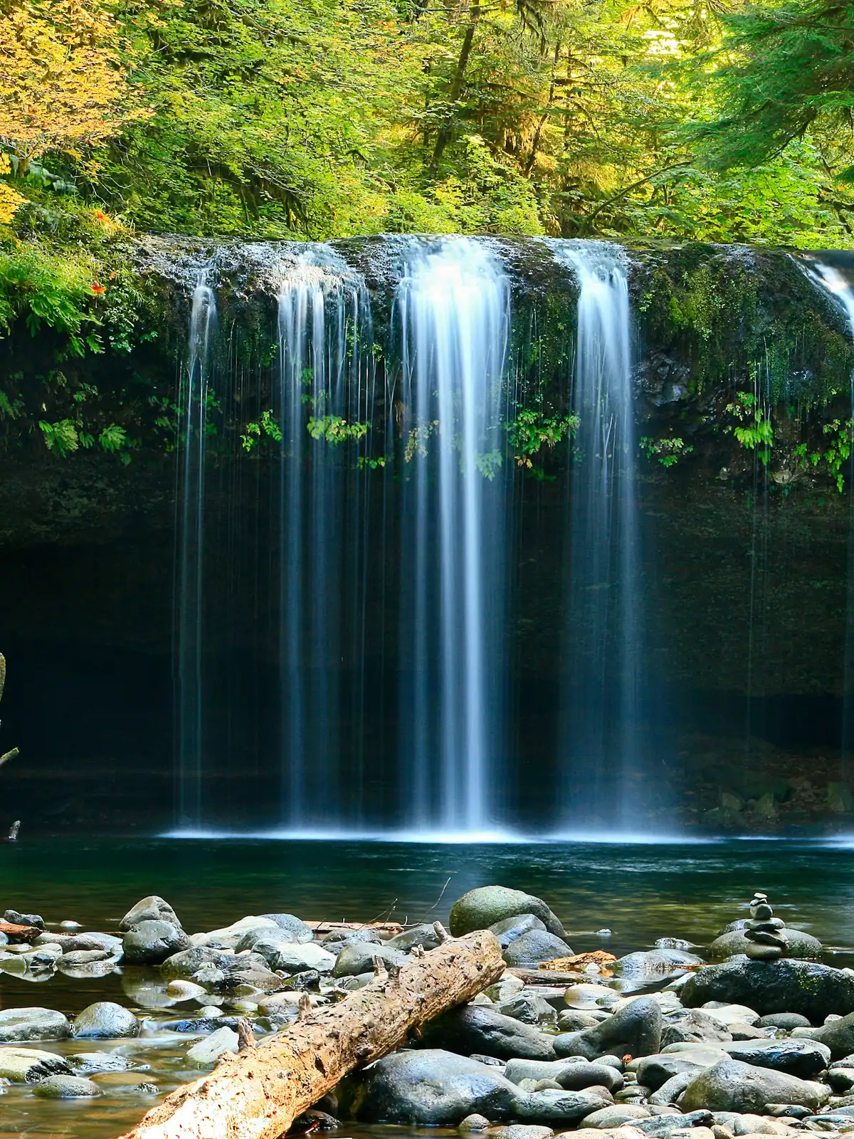
The walks are short. The gravel roads that reach them are not, and that is what actually decides your afternoon. What each waterfall is really like, and how to get there.
6 min readWyatt Ledford
Photograph: Unsplash
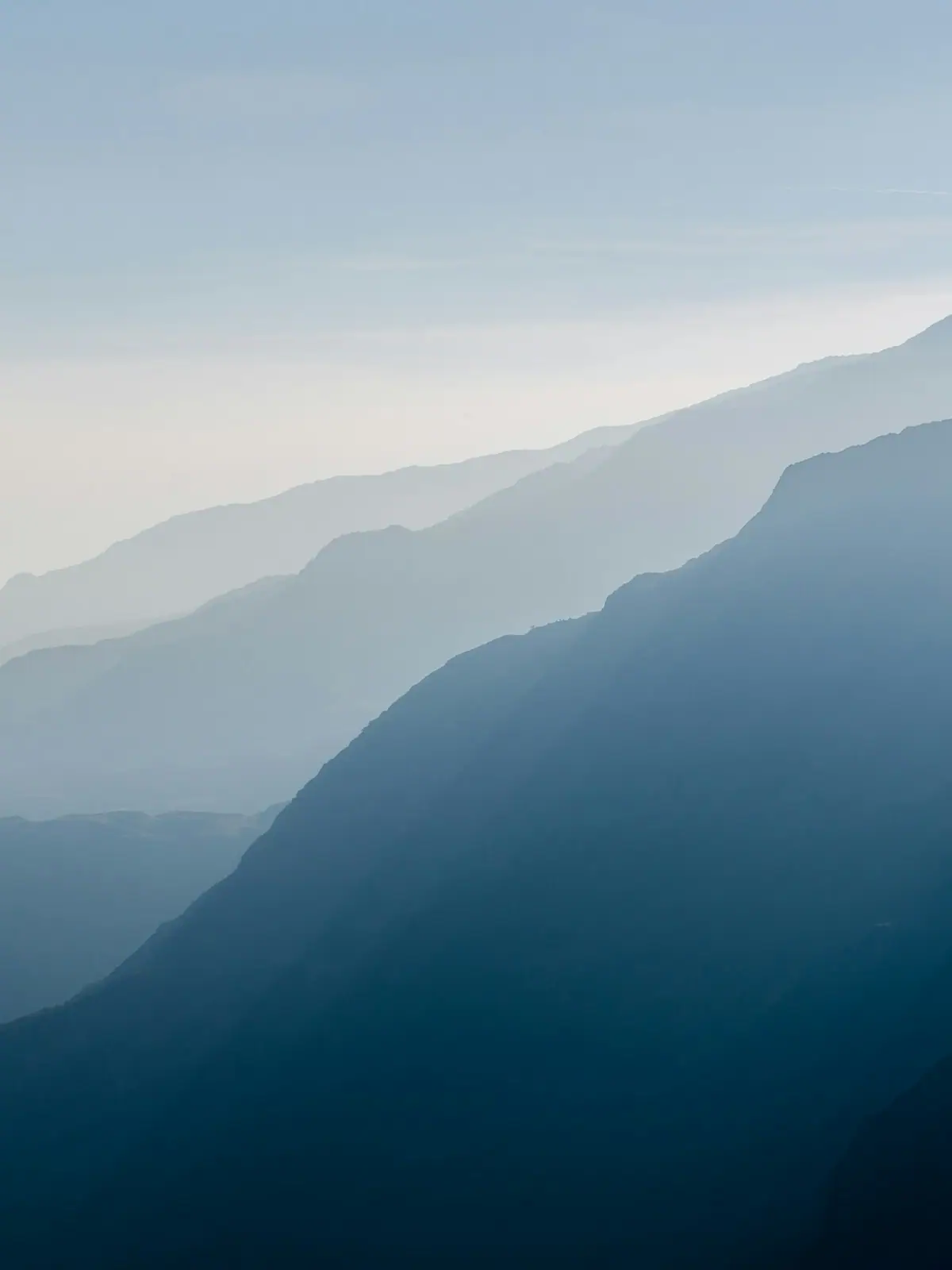
Colour here is a function of height, not of the calendar. The county spans about 2,300 feet of elevation and the change comes downhill over roughly three weeks.
7 min readWyatt Ledford
Photograph: Unsplash