On this page
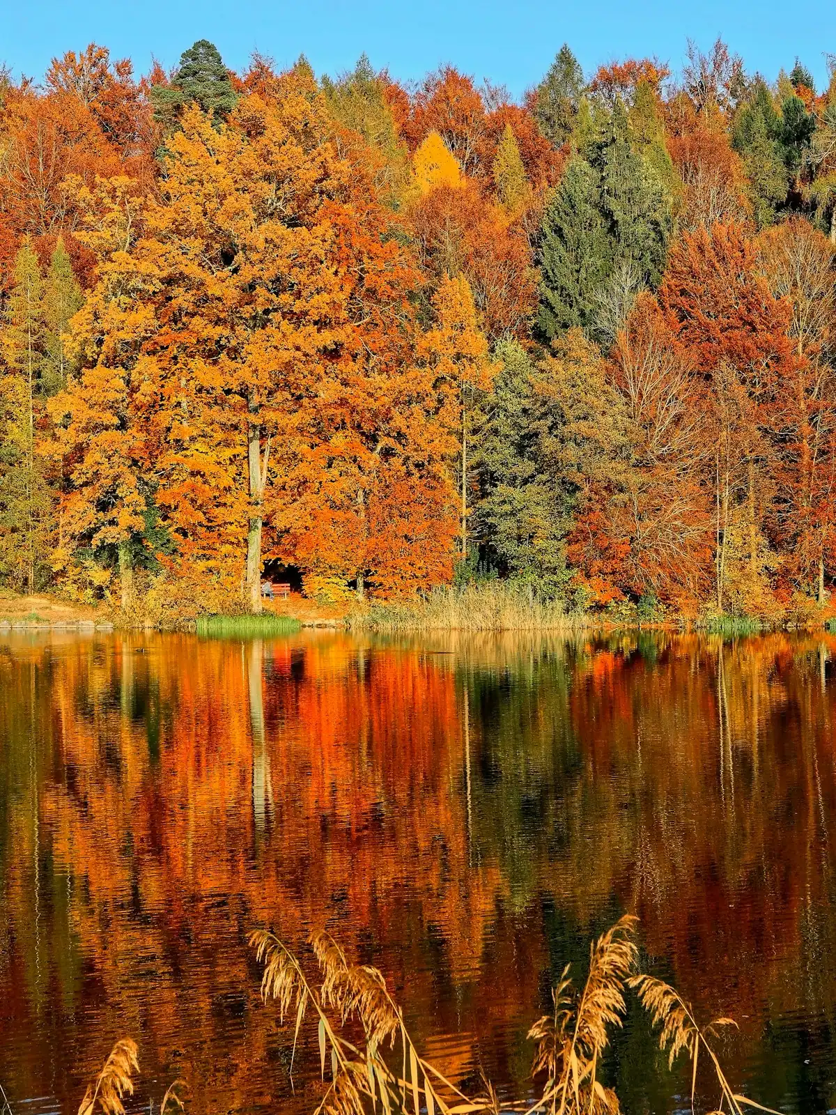
Every year somebody asks the chamber of commerce for the exact weekend the leaves peak, and every year the honest answer disappoints them. There is no date. There is a range that moves by a week and a half between one autumn and the next, and anyone who tells you otherwise is guessing in a way that will cost you a weekend.
What there is instead is a mechanism, and once you understand it you can work out where colour is on the day you arrive without asking anyone.
Colour is about height before it is about date
Fannin County spans roughly 2,300 feet from its low ground to its high. McCaysville, on the state line, sits at about 1,460 feet. The town of Blue Ridge is at 1,762 feet. Lake Blue Ridge sits at around 1,686 feet at full summer pool. Springer Mountain, the southern end of the Appalachian Trail on the county line, is 3,770 feet.
Leaves at the top turn well before leaves at the bottom. Georgia State Parks notes that Black Rock Mountain, at 3,640 feet in the far northeast of the state, is usually among the first places in Georgia to show colour, while F.D. Roosevelt State Park down near the fall line often does not peak until early November. That is the same autumn, six weeks apart, and the difference is almost entirely altitude and latitude.
So the practical model is a front that starts on the ridgelines and comes downhill over about three weeks. In the second half of October that front is usually somewhere inside this county, and the useful question is not "is it peak" but "what height is it at today".
| Elevation band | Where that is around here | Typical window | What you get |
|---|---|---|---|
| Above 3,300 ft | Springer Mountain, the high Cohutta country, the ridge tops on the Benton MacKaye Trail | Earliest. Often the first half of October | Thin, wind-exposed colour that goes over quickly. Worth it for the long views, not for density |
| 2,400–3,300 ft | The high sections of the Aska trails, Stanley Gap, ridge roads and gaps | Middle. Often the second and third weeks of October | The best combination of colour and structure. Ridge lines with a valley of green below them |
| 1,800–2,400 ft | Most cabin country, the shoulders above the lake, the Forest Service road network | Late middle. Usually the second half of October | The classic photograph. Colour above you, colour below you, and a deck to see it from |
| Below 1,800 ft | The town, the depot, the lake shoreline, the Toccoa valley, McCaysville | Latest. Often the last week of October into the first week of November | Softer and longer-lived. The railway runs through the lowest ground in the county and is frequently still good when the ridges are bare |
That last row is the one most visitors do not know. The scenic railway follows the river valley, which is the last part of Fannin County to turn. A trip that lands a few days after the ridges have gone over can still be a good colour ride.
What moves the range each year
Two autumns are never the same, and the variables are not mysterious.
- A warm September delays everything. Colour is triggered by night length and temperature together. Warm nights hold the green.
- A dry summer brings it forward and dulls it. Drought-stressed trees drop leaves early and brown rather than colour.
- A hard early frost ends it. A sharp freeze while leaves are still turning can brown them in place rather than ripening them.
- Wind and rain strip a peak in two days. This is the one that catches people. A perfect ridge on Thursday can be half bare by Saturday after a front comes through.
- Sun matters for the red. The scarlet pigments develop in bright, cool conditions. A grey fortnight gives you gold and russet and not much crimson.
Read the trees, not the forecast
There are local signals that are more reliable than any prediction map.
Sourwood turns first here, and it turns deep red while everything around it is still green, often as early as September. When the sourwoods along the county roads are lit up, you are still two to four weeks from anything general. Black gum follows. The maples and hickories are the middle of the show, hickory going a strong yellow. The oaks come last and hold a russet-brown into November long after everyone has stopped photographing them, which is why the woods look warm here well past peak.
The other field test costs nothing. Driving up GA-515, watch the ridges on either side and find the line where colour stops and green begins. That line is the front. If it is well above the road, you have arrived early and should go up. If it has come down to the valley floor, the high country is already finished.
How to actually check before you travel
| Source | What it gives you | How much to trust it |
|---|---|---|
| Georgia State Parks Leaf Watch | Current park-by-park reports through the season, plus the #GaLeafWatch tag on Instagram | Good. These are people standing in the place today |
| The Fall Foliage Prediction Map linked from Leaf Watch | A national week-by-week model | Directionally useful, not a booking basis |
| Fannin County Chamber of Commerce | Local reporting through the season | Good for the county specifically |
| Social posts tagged from Blue Ridge and Aska in the last 48 hours | Photographs with dates on them | The most current thing available |
| A long-range forecast in August | A number somebody generated in August | Ignore it |
The scheduling reality is that you have to book long before any of that is knowable. The railway's October weekend departures and the better cabins go weeks or months ahead. So book the dates you can get, then use the sources above in the week before you travel to decide what to do with them: high ground if you are early, valley and river if you are late.
October here is the peak of everything, not just colour
Be clear-eyed about what the third and fourth weeks of October are like in this county. GA-515 backs up. Mercier Orchards, which is busy in any apple week, is close to capacity by midday. Downtown parking goes early. The railway sells out. Cabin rates are at their annual high and minimum stays get longer.
If your priority is colour rather than the full autumn programme, there is a good case for the first ten days of October up high, or the first week of November down low. Both are quieter, both are cheaper, and both give you genuine colour somewhere in the county. The one week nearly everybody books is the one where you will spend the most time in a car.
Where to stand
- Early in the season: get high. The gaps and ridge crossings on the Forest Service network, the higher Aska trails, and the approach to Springer Mountain.
- Mid-season: the ridge roads above Lake Blue Ridge, where you get colour at eye level and water below it.
- Late season: the river. The Toccoa valley, the railway, the walk to the swinging bridge, and the lake shoreline, all of which hold on after the tops have gone.
- Any time: a west-facing deck at about 2,000 feet, an hour before sunset. This is what the cabin was for.
Last updated
Opening hours, ordinances and prices move with the season. We re-check this guide rather than rewrite it, and the date above is the last time someone did. How we research and correct.