Skip to content
Search
Menu

These bookings pay us a commission through Viator. Your price does not change, and neither did our picks because of it.

Things to Do

The Toccoa River: Three Rivers With One Name

Last updated

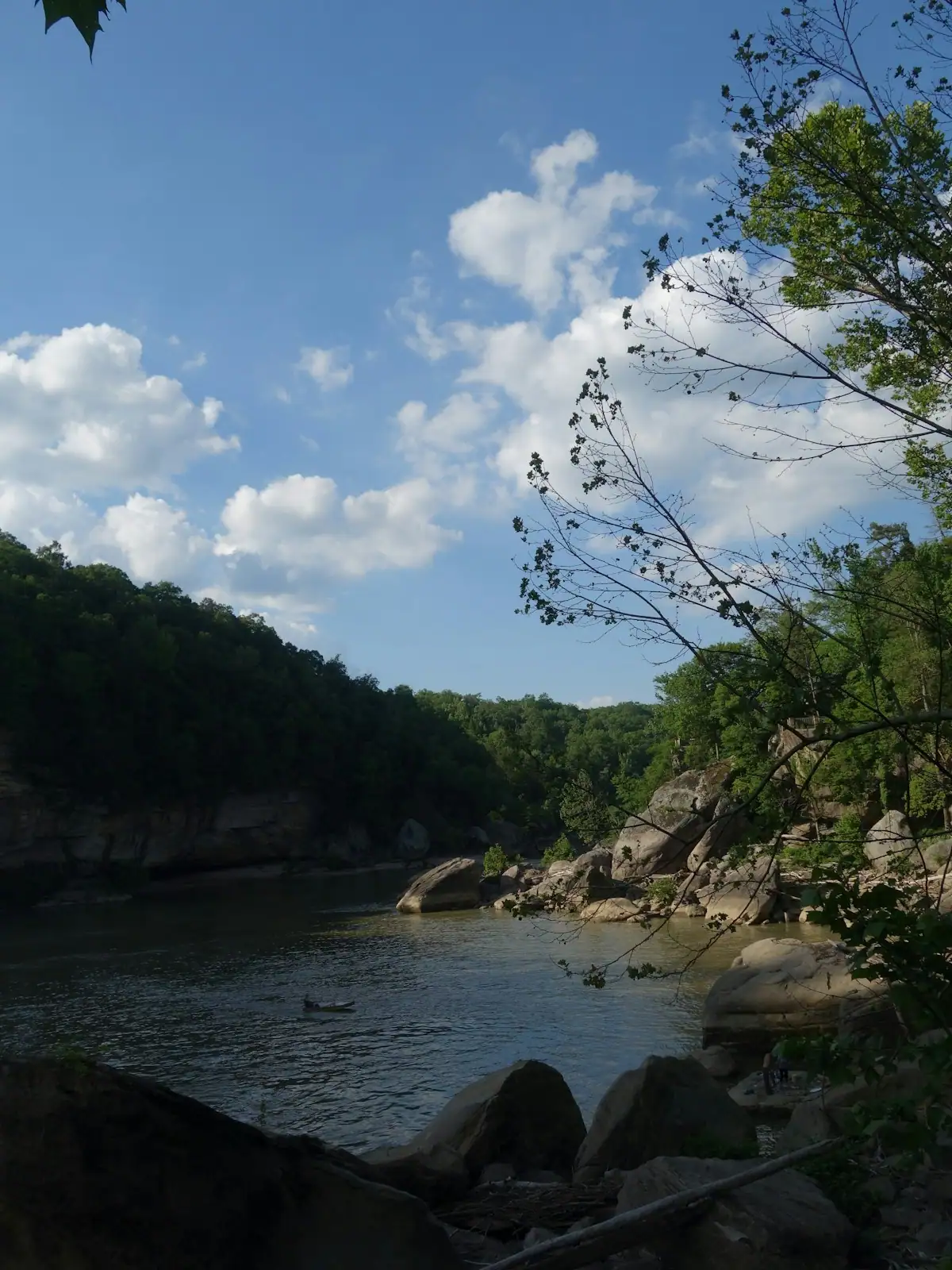
The Toccoa above the lake, the lake itself and the cold tailwater below Blue Ridge Dam behave nothing alike. Where to reach the river and when it is safe.

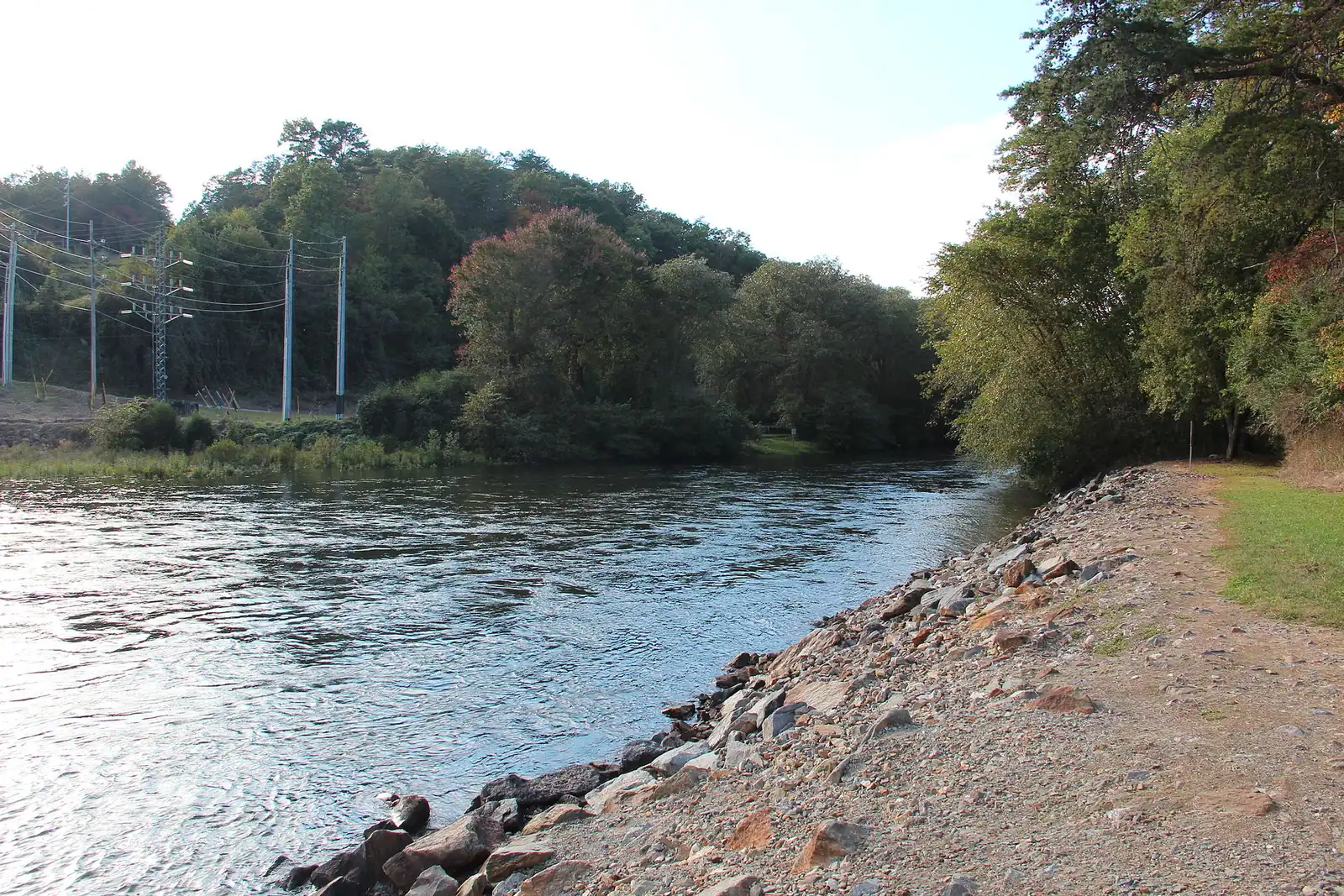
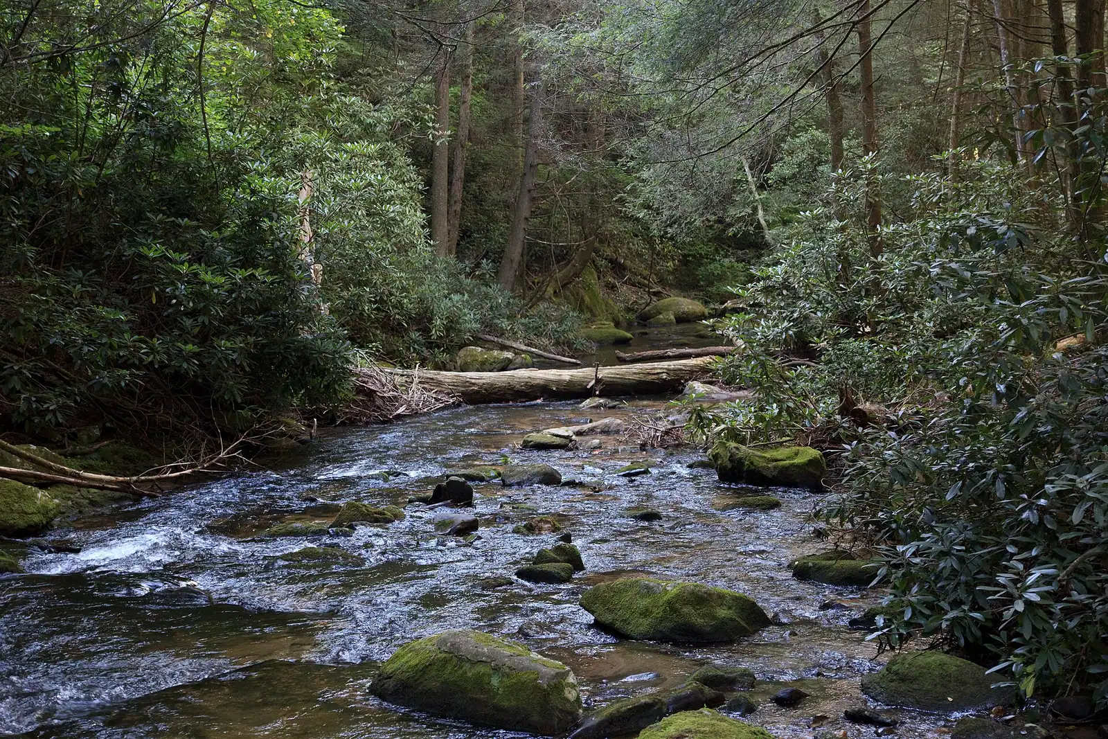
A shallow river running over rock ledges between steep banks of dense forestUnsplash

The Toccoa runs the wrong way. Georgia rivers are supposed to head for the Atlantic or the Gulf, and this one starts at about 2,120 feet in Union County, where Canada Creek and Mauldin Creek meet, and then works north-west across Fannin County towards Tennessee. Fifty-six miles later it reaches the twin towns of McCaysville and Copperhill, crosses the state line in the middle of them, and changes its name to the Ocoee. Another thirty-seven miles and it joins the Hiwassee in Polk County, Tennessee, on its way to the Tennessee River and eventually the Gulf by a very long route.

That is one river on a map. On the ground it is three, and confusing them is the most common planning mistake visitors make here.

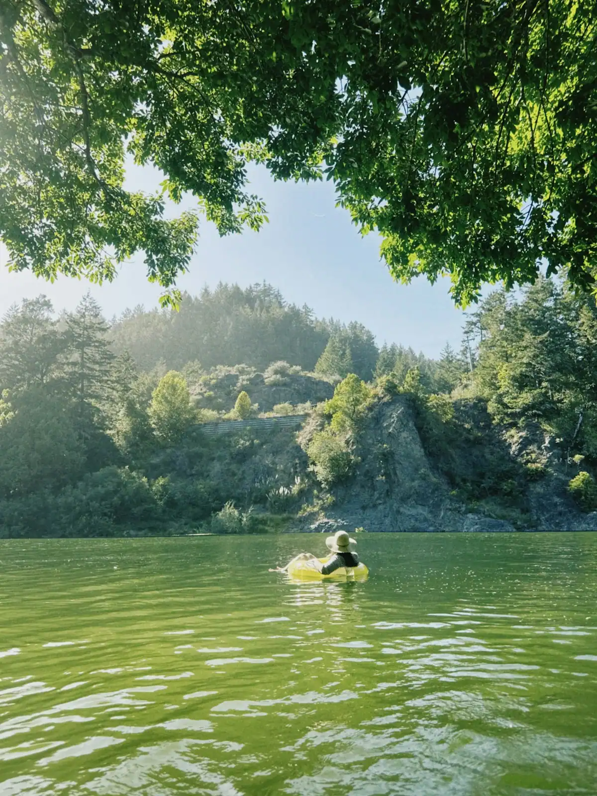
The upper Toccoa, above Lake Blue Ridge, is a free-flowing mountain river. Shallow, rocky, warm enough to sit in by July, gentle enough to float with a five-year-old on an inner tube. This is the stretch the Benton MacKaye Trail crosses on a cable footbridge, and the stretch where the outfitters put their tubes in.

The lake is the middle third: the same water, impounded behind a 167-foot dam that came into service in 1931 and has belonged to the Tennessee Valley Authority since 1939. Deep, cold below the surface, boat country.

The tailwater below the dam is a different river again, and it is the one that catches people out. What comes out of the base of that dam is water drawn from deep in the lake, which means it is cold in August and stays cold, and it arrives in surges when the turbines run rather than at a steady level. It is a first-class trout fishery precisely because of that. It is also not a river to wade into casually, because the level can come up under you while you are standing in it.

Everything else on this page follows from those three characters. Where you can reach the water, what each stretch is good for, why the railway runs alongside one of them, and why a river town straddling a state line ended up with a painted line down the middle of its pavement.
The swinging bridge, and the claim we could not stand up

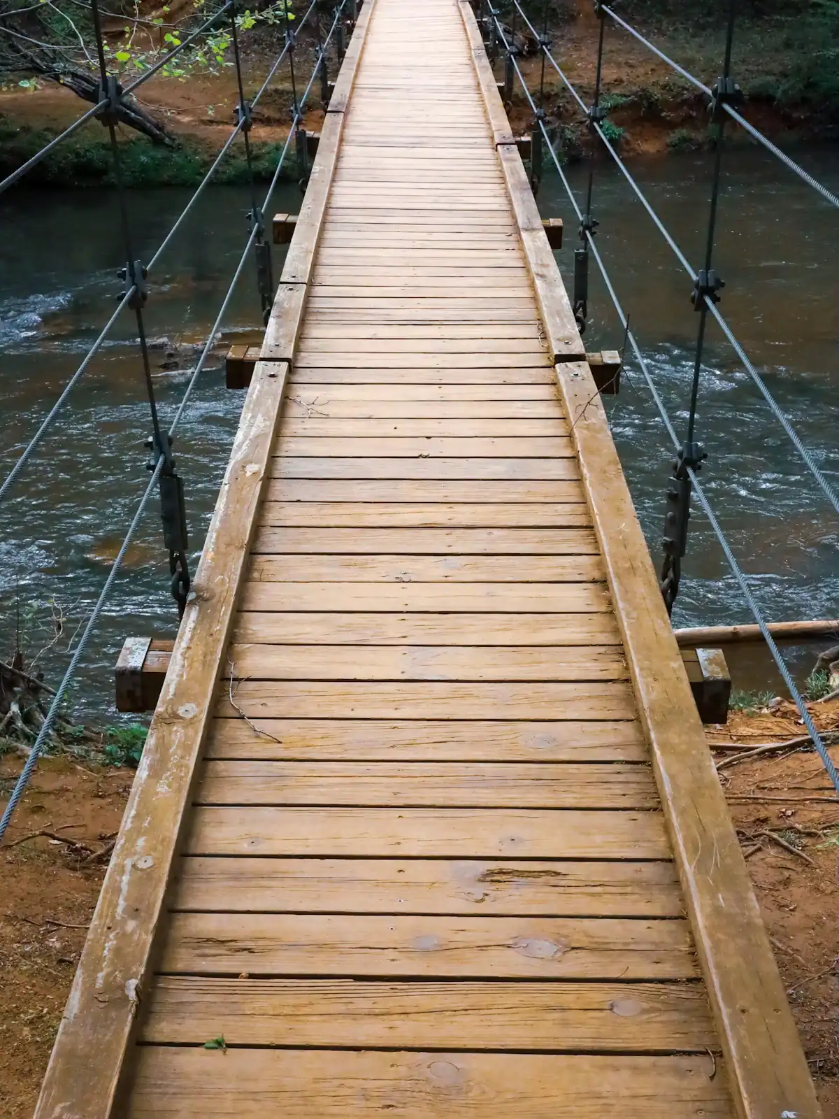
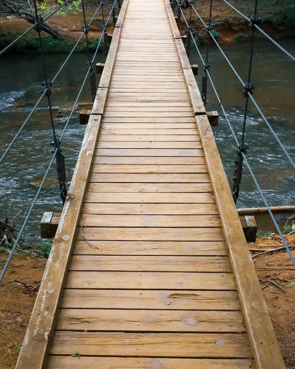
A narrow cable-and-plank footbridge crossing a river between thickly wooded banksUnsplash
A narrow cable-and-plank footbridge crossing a river between thickly wooded banks

A long cable-and-plank footbridge crosses the upper Toccoa where the Benton MacKaye Trail comes down to the water. It is a genuinely good thing to stand on. It moves under you, the planks are close enough together to be sensible and far enough apart to see the green water going by underneath, and it is the single most photographed object in the county after the depot.

Every listing you will read calls it the longest swinging bridge east of the Mississippi. We went looking for the source of that and could not find one that holds up: no bridge authority, no engineering record, no agreed length. It may well be true. It is repeated so consistently that it has the texture of a fact. We are not going to assert it here, because a guide that repeats unsourced superlatives is a guide you cannot trust on anything else.

What is true is more useful. It is a long single span over a pretty river in a quiet place, reached by a drive that is itself most of the outing, on a trail that runs from Springer Mountain almost three hundred miles to the Smokies. Go for the walk and the river rather than for the record.

One practical warning. The bridge has been closed for repair before, and the drive out is long enough that arriving to find a barrier is a wasted morning. Check current access with the Blue Ridge Ranger District before you set off, and take the phone number of somebody at the cabin, because there is no signal out there.

The line down the middle of the pavement

Where the Toccoa becomes the Ocoee, it does so in the middle of a town. McCaysville is on the Georgia bank, Copperhill is on the Tennessee bank, and the two run together as a single small settlement of shopfronts either side of the water. McCaysville counted 1,149 people at the 2020 census. Phones on one side of the street carry a 706 area code and on the other a 423.

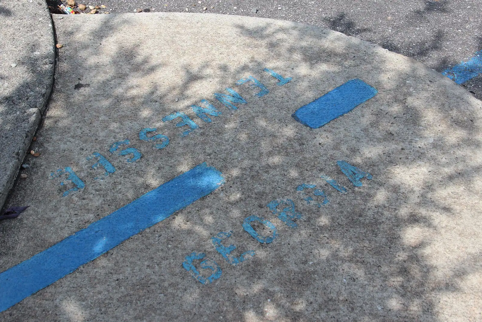
The state line does not follow the river and it does not follow the street grid, because the grid was laid out to follow the river instead. It cuts across both at an angle, which is how you end up with a painted line on the pavement and a steady queue of people photographing themselves with one foot in each state. It is exactly as silly and as enjoyable as that sounds, and it is free.

This is where the Blue Ridge Scenic Railway sets you down, and the layover is built around it: a couple of hours of shops, lunch and the border line before the train runs back down the river to Blue Ridge. If you would rather drive, it is a straightforward run north from Blue Ridge and you can stay longer.

The other half of the story is copper. Copperhill sits at the edge of the Copper Basin, where a century of smelting stripped the hills bare and left a landscape people used to compare to the surface of the moon. The forest has come back over most of it now, which is its own kind of thing to look at from a train window.

Where you can actually reach the river

Local tips

  • Deep Hole Recreation Area, on GA 60. The main developed access on the upper river: a Forest Service site with a campground and a launch onto the Toccoa. This is where a lot of the paddling and tubing starts. Seasonal, and the drive from Blue Ridge is longer than the map suggests.
  • The Toccoa River Sandy Bottom area. River access and the approach to the swinging bridge, reached on Forest Service roads. Remote, quiet and worth the drive if the road is open.
  • Through an outfitter. For tubing and casual kayaking this is much the easiest option, because the shuttle is the problem you cannot solve yourself with one car. Put in, float down, get collected.
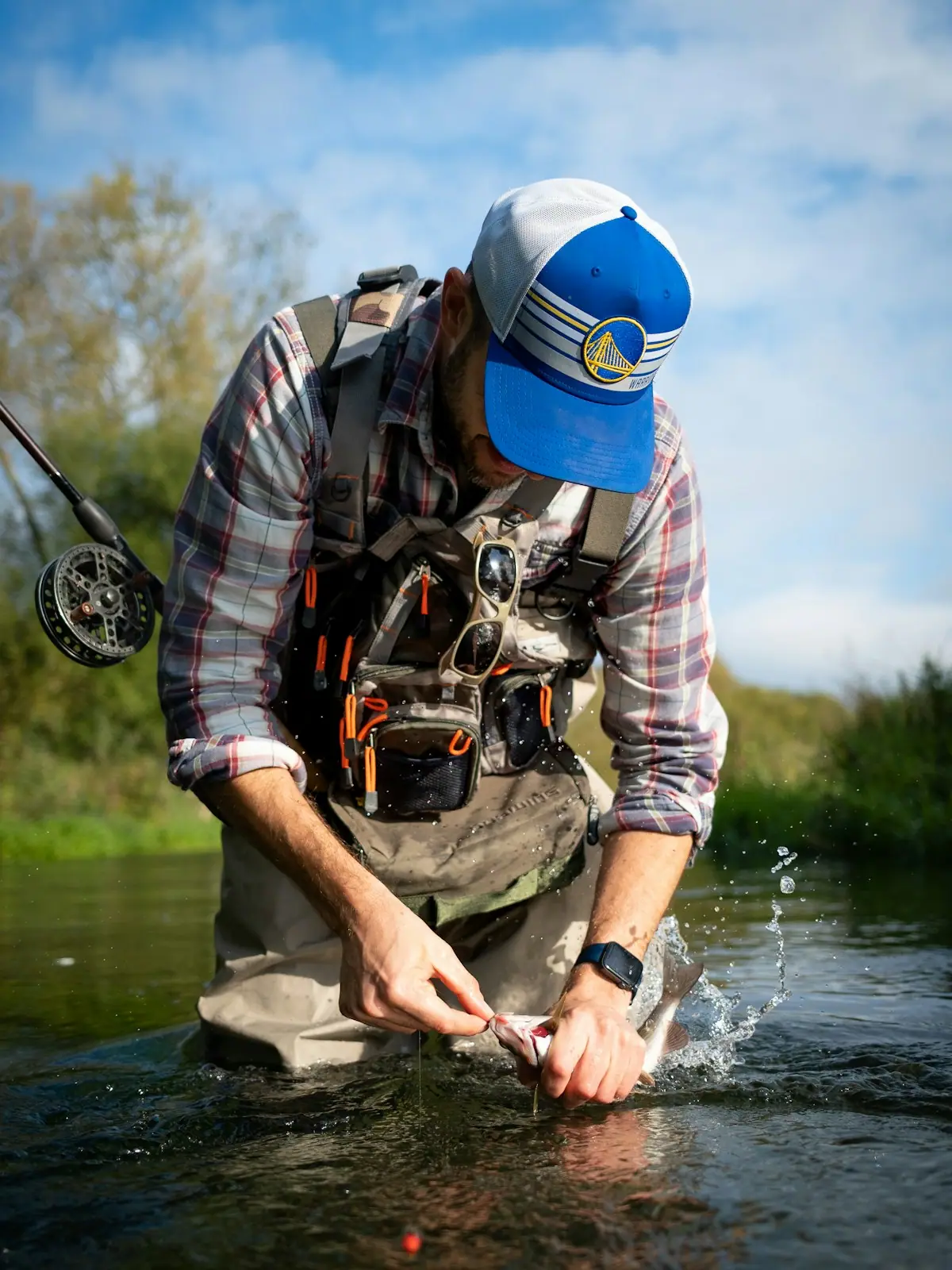
  • The tailwater below the dam. Bank access exists downstream of Blue Ridge Dam, and it is heavily used by anglers. Go with the generation schedule checked.
  • From the train. The scenic railway runs alongside the river for a 26-mile round trip, which is the only way to see several miles of the valley without a boat.
  • What does not work. Most of the river frontage between the access points is private or unreachable, and walking in across a field is trespass. If a stretch looks good from the road and there is no pull-in and no sign, that is not an invitation.

The river through the year

When to go

March to May. High, cold and fast after snowmelt and spring rain. The best waterfall and cascade water of the year feeds it. Too cold and too pushy for tubing, excellent for fishing the upper river and for looking at.

June to August. The upper Toccoa comes into its own. Warm shallows, gentle current, outfitters running full, and the swimming holes in use from lunchtime. By late August, after a dry spell, the shoals get bony and a float that took two hours in June takes three with more walking.

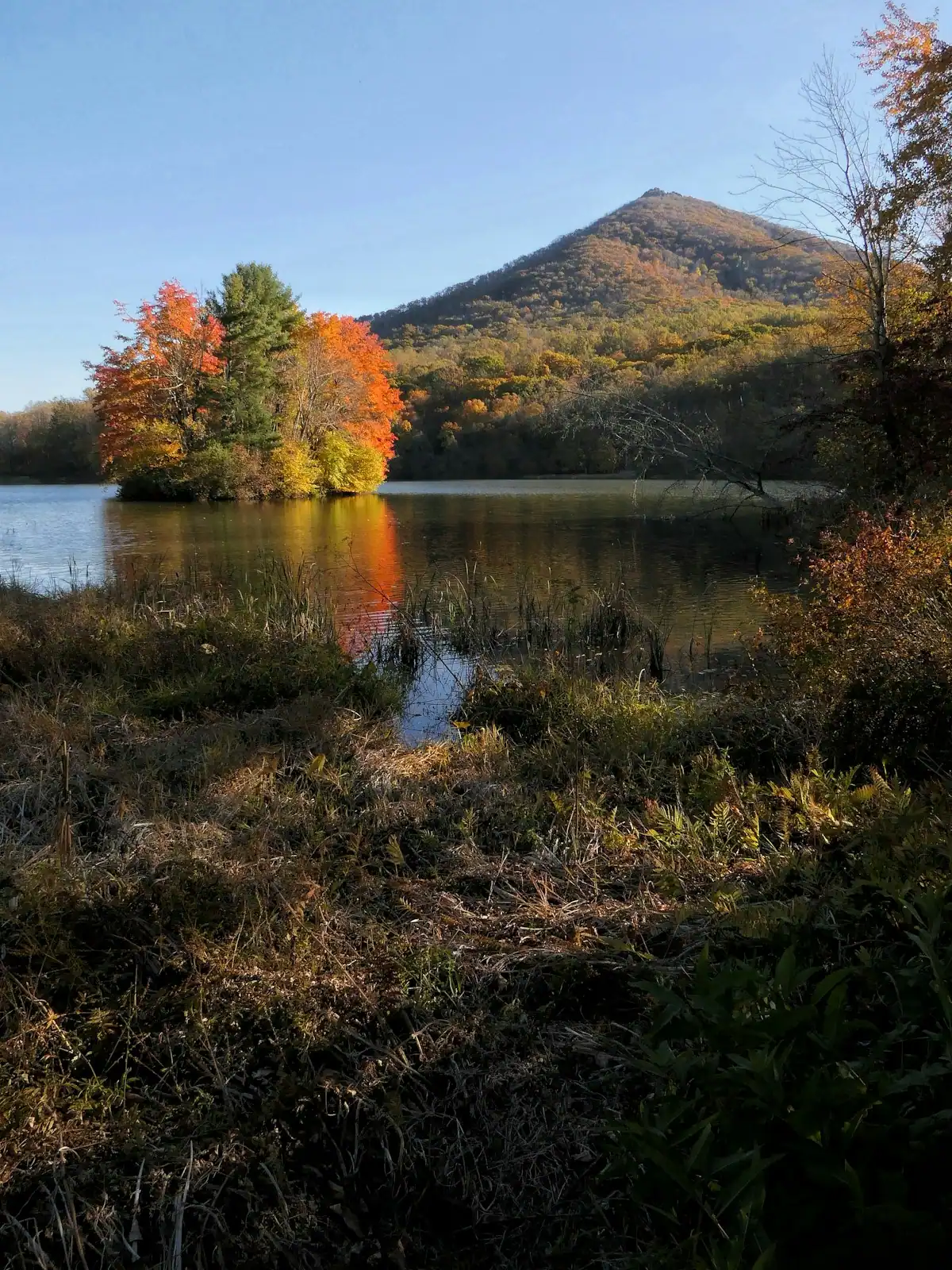
September and October. The quietest good month is September and the busiest is October. Water is low and clear, the hardwoods along the banks turn, and the river valley is the best place in the county to see colour reflected rather than just seen. Cabins are full and Aska Road is busy.

November to February. The delayed harvest rules come in on 1 November on a section of the Toccoa, which turns a stretch of it into catch-and-release water on artificial lures through the cold months and makes winter fishing here genuinely worthwhile. Nobody is tubing. The river is at its most beautiful and its most empty, and the tailwater keeps fishing regardless of air temperature because the water coming out of the dam barely notices the season.

Which Toccoa you are standing on

How they compare

StretchCharacterWater temperatureWhat it is forThe catch
Upper Toccoa, above the lakeFree-flowing, shallow, rocky, Class IWarms through summerTubing, easy kayaking, wading, swimming holesLow water by late summer means dragging over shoals
Lake Blue RidgeImpounded, deep, stillWarm surface, cold belowPontoons, paddling in coves, swimming off a boatDrawn down in winter, few public ramps
Tailwater, below the damCold, surging, releases from depthCold all yearTrout fishing, drift boatsLevel rises when the turbines run

The single most useful sentence on this page: the water that is pleasant to float on and the water that holds trout in August are not the same water, and they are twenty minutes apart by car.

If you have booked a cabin and want a lazy afternoon in the river, you want the upper Toccoa. If you have brought a rod and want to catch trout in July, you want the tailwater. If you turn up below the dam with inner tubes, you will find cold water, uneven flow and a sign telling you not to.

What the dam does to the river below it

Before you book

Blue Ridge Dam is a hydroelectric plant. It does not release water at a constant rate; it releases it when generation is called for, and the river below responds within the hour.

Three consequences that matter to anybody going near the tailwater.

The level changes. A river you waded across at knee height can be waist-deep and pushing hard a short time later. The change is not gradual in the way weather-driven rises are. Anglers who fish this stretch regularly plan their day around the published generation schedule, and visitors should do the same. TVA publishes release information for its plants, and it is the first thing to look at before you put on waders.

The water is cold. It comes off the bottom of a reservoir that is 246 feet deep in places, so it stays cold through the summer. That is why the trout do well. It is also why standing in it for three hours in shorts is a bad idea in any month, and why nobody floats it on an inner tube.

The dam area itself is off limits for swimming. Do not swim above the dam near the intakes or below it in the tailrace. This is not a formality.

Away from those three things, the tailwater is one of the best stretches of accessible trout water in Georgia, and the state's own wildlife division singles it out for its catch rates. Fish it with the schedule open on your phone before you lose the signal.

On the ground

Where to go

Every place below has its own page — hours, parking, what it costs and what to expect when you get there.

  • A shallow river running over rock ledges between steep banks of dense forest
    Water feature

    Toccoa River

    Free

    One river, two personalities: a lazy summer float above the lake, and a cold tailwater below the dam that fishes all year.

    2–7 hoursFree to access. Forest Service recreation areas charge a day-use parking fee, and rentals and shuttles are extra.

    Photograph: Thomson200

  • A river running through the middle of a small town beside a road bridge
    Neighbourhood

    McCaysville

    Free

    A Georgia town of about 1,150 people that shares its high street, its river and its bridge with a different state.

    1–3 hoursFree. Walking to the state line and the river costs nothing.

    Photograph: Unknown authorUnknown author or not provided

  • A narrow timber suspension footbridge crossing a river in dense woodland
    Landmark

    Toccoa River Swinging Bridge

    Free

    A cable footbridge that genuinely sways, hung over the Toccoa on the Benton MacKaye Trail, at the end of a gravel forest road.

    0.5–4 hoursFree. No fee, no gate, no facilities.

    Photograph: Unsplash

  • A wading angler casting a long line into fast water at the head of a pool
    Water feature

    Noontootla Creek

    Free

    Georgia's best-known wild trout creek, where the 16-inch size limit means almost everything you catch goes back.

    3–8 hoursFree to access. A Georgia fishing licence and trout licence are required to fish.

    Photograph: Scott Long

  • A road bridge over a river with town buildings clustered on the far bank
    Neighbourhood

    Copperhill

    Free

    The Tennessee half of the twin towns, and the edge of a copper basin that was stripped to bare red clay and then replanted.

    1–2 hoursFree. Walking the town, the bridge and the river bank costs nothing.

    Photograph: Thomson20192

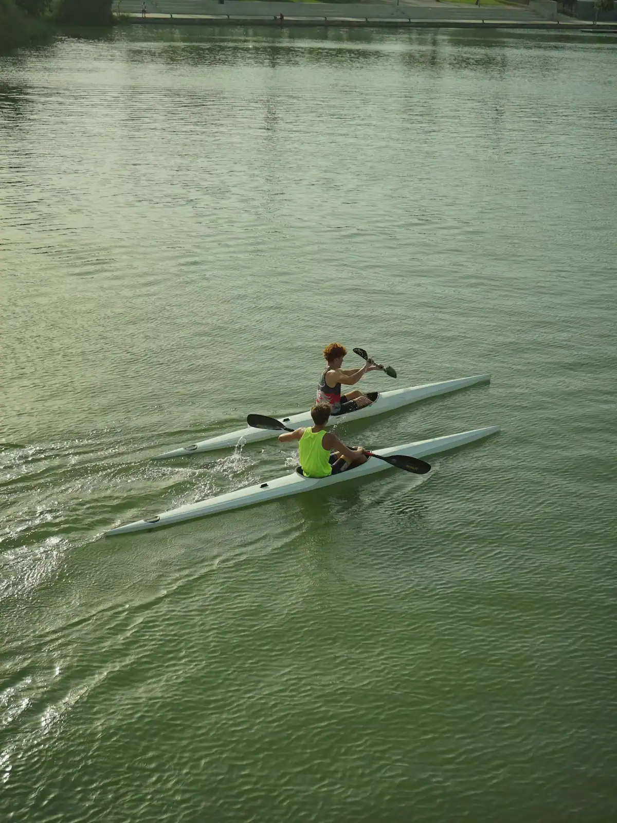
  • Two paddlers in kayaks on flat green water below a steep wooded bank
    Park

    Deep Hole Recreation Area

    The Forest Service put-in at the head of a 13.8-mile river trail, forty minutes up the Toccoa valley from Blue Ridge.

    2–8 hoursDay-use parking fee; camping charged per night.

    Photograph: Unsplash

  • Still lake water holding the reflection of a wooded shoreline in autumn colour
    Landmark

    Blue Ridge Dam

    Free

    A 167-foot earth dam from 1931 that made the lake, chilled the river below it and set the rhythm of the whole county.

    0.5–1 hoursFree. No visitor centre, no tours and no facilities at the dam.

    Photograph: Chief Mass Communication Specialist Scott Curtis, U.S. Navy

Straight answers

Questions people actually ask

Where does the Toccoa River become the Ocoee?

At the Georgia-Tennessee state line, which runs through the middle of the twin towns of McCaysville and Copperhill. The river is the Toccoa for its 56 miles in Georgia and the Ocoee for roughly 37 more in Tennessee, until it joins the Hiwassee in Polk County. The name changes with the border, not with the character of the water. The rapids the Ocoee is famous for are well downstream of the state line.

Is the Toccoa River Swinging Bridge the longest east of the Mississippi?

That claim appears on almost every listing and we could not substantiate it against any bridge authority, engineering record or agreed measurement. It may be true. We are not going to assert it. What is certain is that it is a long single-span footbridge over the upper Toccoa on the Benton MacKaye Trail, that it moves underfoot, and that it has been closed for repairs before, so check current access before making the drive.

Can you swim in the Toccoa River?

In the upper river above Lake Blue Ridge, yes. It is shallow, rocky and warm enough from about June, with pools deep enough to get into. Below Blue Ridge Dam is a different matter: that water is released from deep in the reservoir, stays cold all year and rises without warning when the turbines run. Nobody swims the tailwater, and swimming near the dam itself is prohibited.

How do you check dam releases on the Toccoa River?

TVA publishes generation and release information for its plants, including Blue Ridge Dam, and anglers who fish the tailwater regularly plan their day around it. Look before you leave the cabin, because phone signal disappears in the river valley. A stretch that is comfortable to wade at low flow becomes fast and deep when generation starts, and the change happens over minutes rather than hours.

Why do people stand on a line in McCaysville?

Because the Georgia-Tennessee border cuts diagonally across the street grid in the middle of the twin towns of McCaysville and Copperhill, and it is marked with a painted line on the pavement. Standing with a foot in each state is the local photograph. It costs nothing, takes two minutes, and is the anchor of the layover for anyone arriving on the Blue Ridge Scenic Railway. The area code changes at the same line: 706 on one side, 423 on the other.

How long is the Toccoa River?

Ninety-three miles in total, counting both names. It rises at the confluence of Canada and Mauldin creeks in Union County, Georgia, at around 2,120 feet, runs north-west for 56 miles as the Toccoa, then continues as the Ocoee for about another 37 miles to its junction with the Hiwassee in Tennessee. Lake Blue Ridge sits across the middle of the Georgia section, behind a dam that has been generating since 1931.

Is the Toccoa River good for beginners in a kayak?

The stretch above Lake Blue Ridge is, in normal summer flows. It is largely Class I with shoals rather than rapids, and the main skill required is reading which side of a gravel bar has enough water. Spring flows are a different proposition, faster and cold. The tailwater below the dam is not a beginner float because the level changes with generation. Use an outfitter for the shuttle if nothing else.