Toccoa River Swinging Bridge
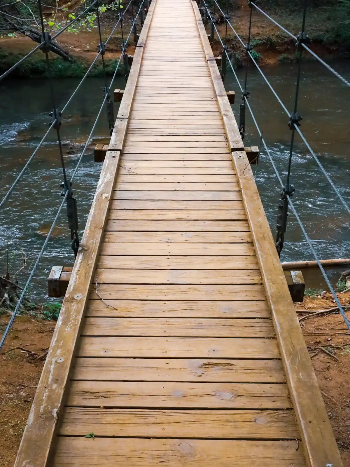
A cable footbridge that genuinely sways, hung over the Toccoa on the Benton MacKaye Trail, at the end of a gravel forest road.
0.5–4 hoursFree. No fee, no gate, no facilities.5.4 mi away
Photograph: Unsplash
Water feature
Last updated
One river, two personalities: a lazy summer float above the lake, and a cold tailwater below the dam that fishes all year.
Photo: Thomson200CC0
The Toccoa is the reason Fannin County looks the way it does. It rises in Union County, runs north-west through the mountains, gets stopped by an earth dam east of town to make Lake Blue Ridge, comes out the other side cold, and crosses into Tennessee at McCaysville, where it changes its name to the Ocoee at the bridge. Same water, different river, and the name change on a state line is one of the odder facts in American river geography.
For a visitor, the important thing is that the dam splits the Toccoa into two experiences that have almost nothing in common.
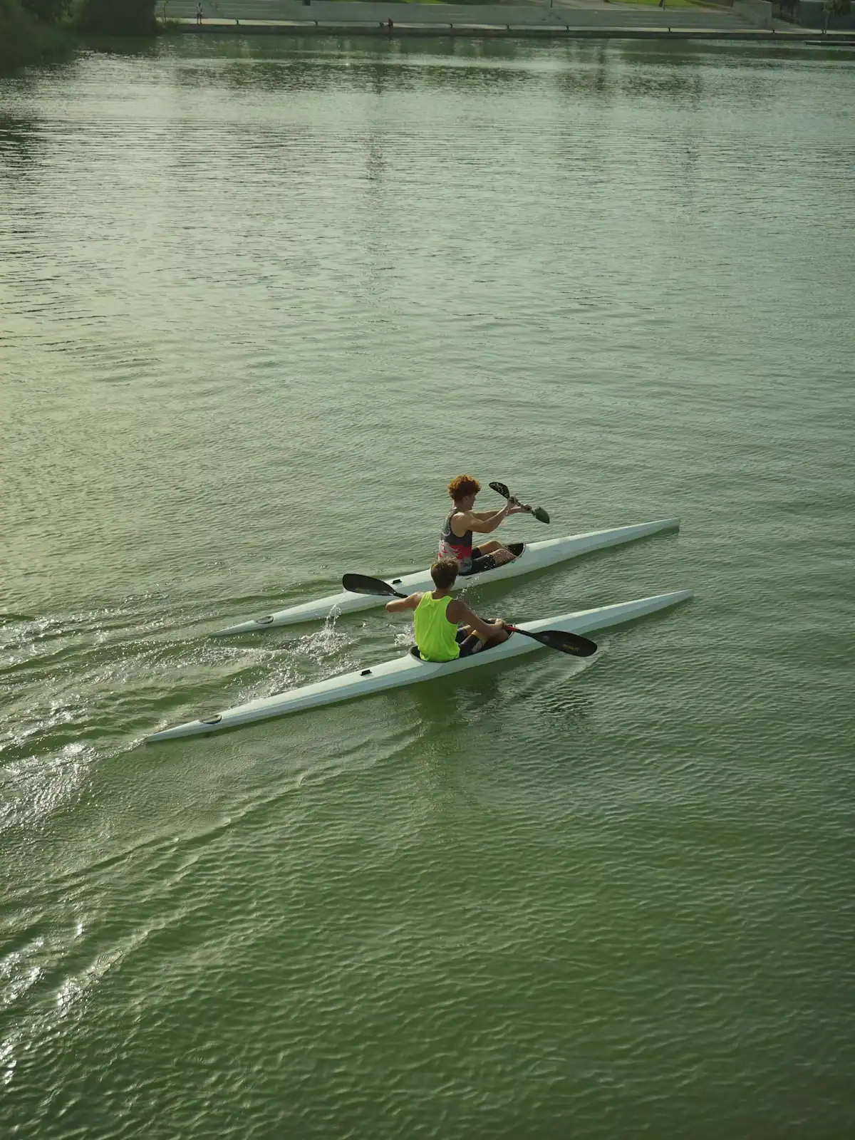
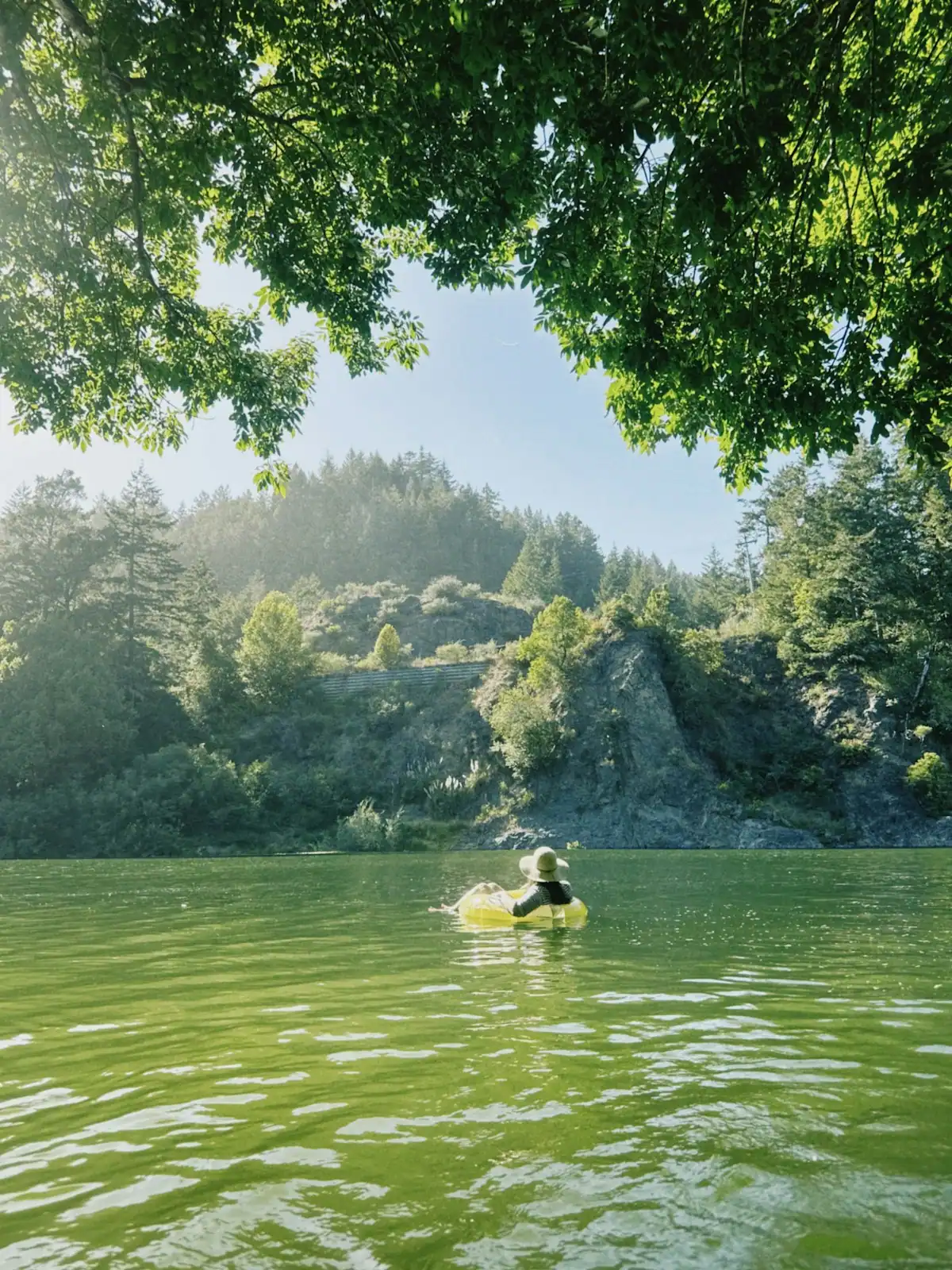
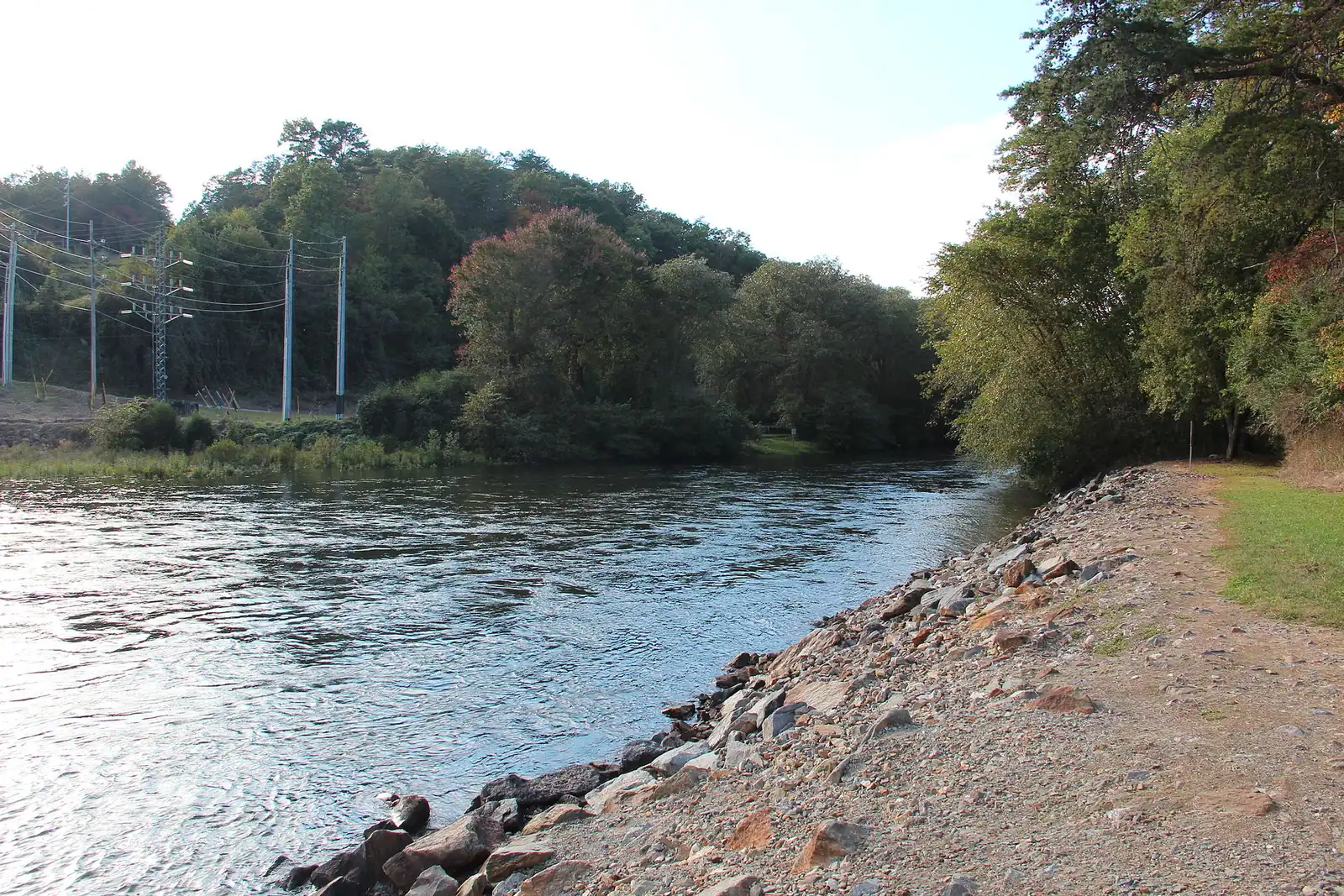
Above the lake, up the GA-60 valley towards Suches, the Toccoa is a wide, shallow, sun-warmed mountain river with gravel bars and easy riffles. This is tubing and open-canoe water. The Forest Service runs a marked canoe trail here: 13.8 miles from Deep Hole Recreation Area down to Sandy Bottoms, passing under the Toccoa River Swinging Bridge, a long cable footbridge on the Benton MacKaye Trail that is usually described as the longest of its type east of the Mississippi. Nothing on that stretch is harder than class I to II at normal levels, and in August large parts of it are ankle-deep.
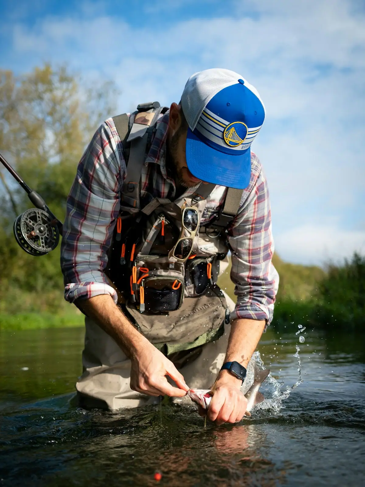
Below Blue Ridge Dam the river is a tailwater. Water drawn from deep in the reservoir comes out in the fifties Fahrenheit even in July, which is why this stretch grows rainbow and brown trout, some of them over twenty inches, and why you will see anglers in waders on a day when people are tubing in swimsuits eight miles upstream. It is also why the flow changes without warning: when TVA generates, the river comes up fast. Check the generation schedule before you wade, every time.
By the time it reaches McCaysville the Toccoa is a town river, wide and slow, with a walkway along part of it and the state line painted across the pavement a couple of streets away.
For the upper river, take Aska Road or GA-60 south-east out of Blue Ridge. Sandy Bottoms Recreation Area sits off Old Dial Road about half an hour from town; Deep Hole is further up GA-60, closer to forty minutes. Both are signed Forest Service sites with gravel parking.
For the tailwater, the access points sit north-west of town along the GA-5 corridor towards McCaysville, with the nearest public water just below the dam itself. Allow fifteen to twenty minutes from Blue Ridge.
Every float on this river is one-way, so either leave a second vehicle at the take-out or book a shuttle with an outfitter when you book the boat. Mobile coverage in the valley is patchy enough that arranging a lift halfway down is not a plan.
The stretch that suits you depends entirely on what you want from a day.
Above Lake Blue Ridge — the GA-60 corridor from Deep Hole down to Sandy Bottoms. Warm water in summer, gravel bars, shade, and a current that mostly does the work. This is where tubing outfitters operate and where a family with a cool box and no skills has a straightforwardly good afternoon. In a dry August the shallows are bony enough that you will walk stretches of it.
Below Blue Ridge Dam — cold, steady and green, running roughly fifteen miles north-west to the state line. Wading anglers, drift boats and almost nobody in a swimsuit. Georgia DNR stocks it and runs a Delayed Harvest section on the Toccoa from late autumn into spring, when tackle is restricted and fish go back in the water.
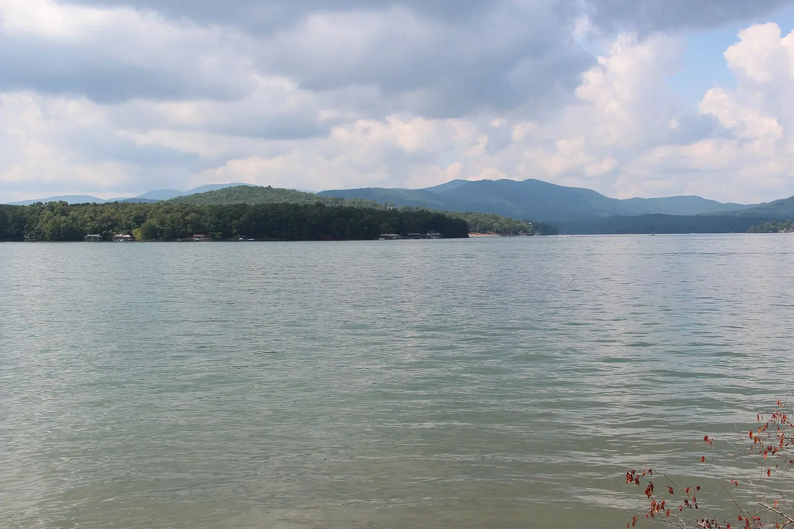
The middle of the river is Lake Blue Ridge itself, which is a lake and behaves like one.
Outfitters in town rent tubes, kayaks and shuttles for the upper river and run guided float trips on the tailwater. Prices vary by season and there is no single tariff; ring rather than assume.
The marked run is 13.8 miles, put in at Deep Hole Recreation Area on GA-60 and take out at Toccoa River Sandy Bottoms Recreation Area on Old Dial Road. Both are Forest Service sites inside the Chattahoochee National Forest.
Done in one go it is a long day: most paddlers reckon on five to seven hours depending on water level, and at low summer flows you will drag the boat across shoals. Many people split it, or run the lower half from the swinging bridge area to Sandy Bottoms.
Two things to plan. First, it is a one-way trip down a valley with a single road in and out, so you need either two vehicles or a shuttle booked in advance. Second, the shuttle drive between the two ends is not quick, because the road follows a different line from the river.
The Toccoa River Swinging Bridge crosses roughly midway, carrying the Benton MacKaye Trail. Paddling under it is the reason a lot of people do this trip. It has been closed for repair in the past, so check its current status if it is the point of your day.
Blue Ridge Dam releases water from depth, so the Toccoa below it stays cold through the summer. That is the whole basis of the fishery, and it is also a hazard.
When TVA generates, the river rises quickly and the wadeable gravel you are standing on stops being gravel. This is not a gentle seasonal change; it can happen within the hour. Check the generation schedule before you go in, and treat rising water as your cue to get out rather than to move.
Georgia stocks rainbow and brown trout here and the tailwater produces fish well over twenty inches, which is unusual for a Southern river you can walk to from a car. The Delayed Harvest regulations that run from 1 November into spring on the designated section restrict you to artificial lures with a single hook and require everything to go back.
Access is a mix of public sites and private frontage, and a good deal of the bank is somebody's back yard. If you are new to the river, a half-day with a local guide buys you access knowledge rather than casting lessons.
A Georgia fishing licence and a trout licence are both required. Buy them online before you leave the cabin; signal at the river is unreliable.
The water is genuinely cold most of the year. July and August are the only months it reads as pleasant rather than bracing, which is exactly when everyone else is on it.
Straight-line distances, so allow more on the road — the island is long and has one main parkway.

A cable footbridge that genuinely sways, hung over the Toccoa on the Benton MacKaye Trail, at the end of a gravel forest road.
0.5–4 hoursFree. No fee, no gate, no facilities.5.4 mi away
Photograph: Unsplash

The Forest Service put-in at the head of a 13.8-mile river trail, forty minutes up the Toccoa valley from Blue Ridge.
2–8 hoursDay-use parking fee; camping charged per night.6.5 mi away
Photograph: Unsplash

Thirty-three hundred acres of cold green water with national forest around most of it, and a level that TVA moves by dozens of feet a year.
1.5–8 hoursFree to look at and to fish from public land. Recreation areas and ramps may charge.4.1 mi away
Photograph: Thomson200

A 167-foot earth dam from 1931 that made the lake, chilled the river below it and set the rhythm of the whole county.
0.5–1 hoursFree. No visitor centre, no tours and no facilities at the dam.7 mi away
Photograph: Chief Mass Communication Specialist Scott Curtis, U.S. Navy
Where this place fits into a day, and the pages that plan one.

Almost nobody comes to Blue Ridge and stays in a hotel. They rent a cabin, usually for two or three nights, usually up a slope somewhere off a…
Photograph: Unsplash

Here is the thing nobody puts in a family travel article about this county, and it is the most useful sentence on the page: for children under about…
Photograph: Unsplash

The Toccoa runs the wrong way. Georgia rivers are supposed to head for the Atlantic or the Gulf, and this one starts at about 2,120 feet in Union…
Photograph: Unsplash

There are two rivers in this conversation and they are not interchangeable. The Toccoa above Lake Blue Ridge is a shallow, rocky, mostly Class I…
Photograph: Unsplash

Fannin County advertises about a hundred miles of trout stream, and the number is not marketing. What it undersells is how different those miles are…
Photograph: Unsplash

Colour here is a function of height, not of the calendar. The county spans about 2,300 feet of elevation and the change comes downhill over roughly three weeks.
7 min readWyatt Ledford
Photograph: Unsplash

The train is perfect at four and hard work at two. The orchard is a triumph at nine in the morning and a disaster at one. A family guide organised by age rather than by attraction.
6 min readNadine Colquitt
Photograph: Unsplash

Four schedules decide what you can do here, and none of them is the weather: the railway season, the picking calendar, the dam releases and the lake drawdown.
7 min readWyatt Ledford
Photograph: Unsplash
Yes, on the stretch above Lake Blue Ridge, roughly along the GA-60 corridor south-east of town. That water is shallow, warm in high summer and no harder than easy class I to II at normal levels, which is why the outfitters cluster there. Below Blue Ridge Dam the river is a cold tailwater with a flow that changes when TVA generates, and it is not tubing water. Every float is one-way, so book a shuttle or leave a car at the take-out.
Blue Ridge Dam draws water from deep in the reservoir rather than off the surface, so what comes out the other side stays in the fifties Fahrenheit even in midsummer. That is what turns the lower Toccoa into a genuine trout tailwater and why anglers in waders and tubers in swimsuits are on the same river a few miles apart. It also means the flow rises sharply when the dam generates, so check the schedule before wading.
At the Georgia–Tennessee line in the twin towns of McCaysville and Copperhill, at the bridge carrying GA-5 across the water. It is the same river throughout: Toccoa for its 56 Georgia miles, Ocoee for the Tennessee stretch that eventually joins the Hiwassee. The serious whitewater everyone associates with the name Ocoee is well downstream in Tennessee, released from TVA dams, and has nothing to do with the gentle water above Blue Ridge.
The Forest Service marks 13.8 miles from Deep Hole Recreation Area down to Toccoa River Sandy Bottoms Recreation Area. Most paddlers take five to seven hours for the whole thing, longer at low summer levels when you get out and drag through shoals. It passes beneath the Toccoa River Swinging Bridge roughly midway. Splitting it into two shorter days, or running only the lower half, is a common and sensible plan.