Trail
Springer Mountain
Free
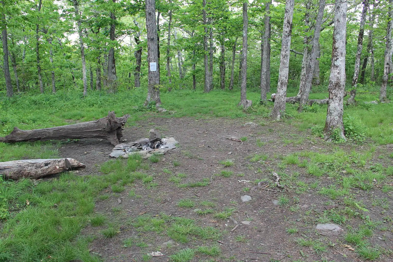
The Appalachian Trail's first white blaze sits at 3,770 feet, about an hour of mountain road from a Blue Ridge cabin.
1.5–7 hoursFree. No entry fee, no parking charge, no facilities.
Photograph: Thomson20192
Things to Do
Trails and waterfalls around Blue Ridge, Georgia: which Forest Service roads you can take a rental car down, what the falls are really like, and when to go.
 Unsplash
Fannin County holds something in the region of 106,000 acres of the Chattahoochee National Forest, roughly three hundred miles of trail and a hundred miles of trout stream. Almost none of it is reached from a car park with a visitor centre. The usual sequence is a paved county road, then a Forest Service road surfaced in creek gravel, then a widening in the road with room for six cars and a brown fibreglass post. That is the trailhead. Understand this before you plan a day and the whole area makes sense; ignore it and you will spend your Saturday reversing down a single-track road looking for somewhere to turn around.
So the useful question here is not which hike is prettiest. It is which hike your vehicle can get to, how long the last four miles will take, and whether anyone in the cabin will still be speaking to you when you arrive. The answer changes with the season. A Forest Service road that a saloon car handles fine in June can be rutted and greasy after a wet February, and the forest closes gates on some of them over winter without much notice.
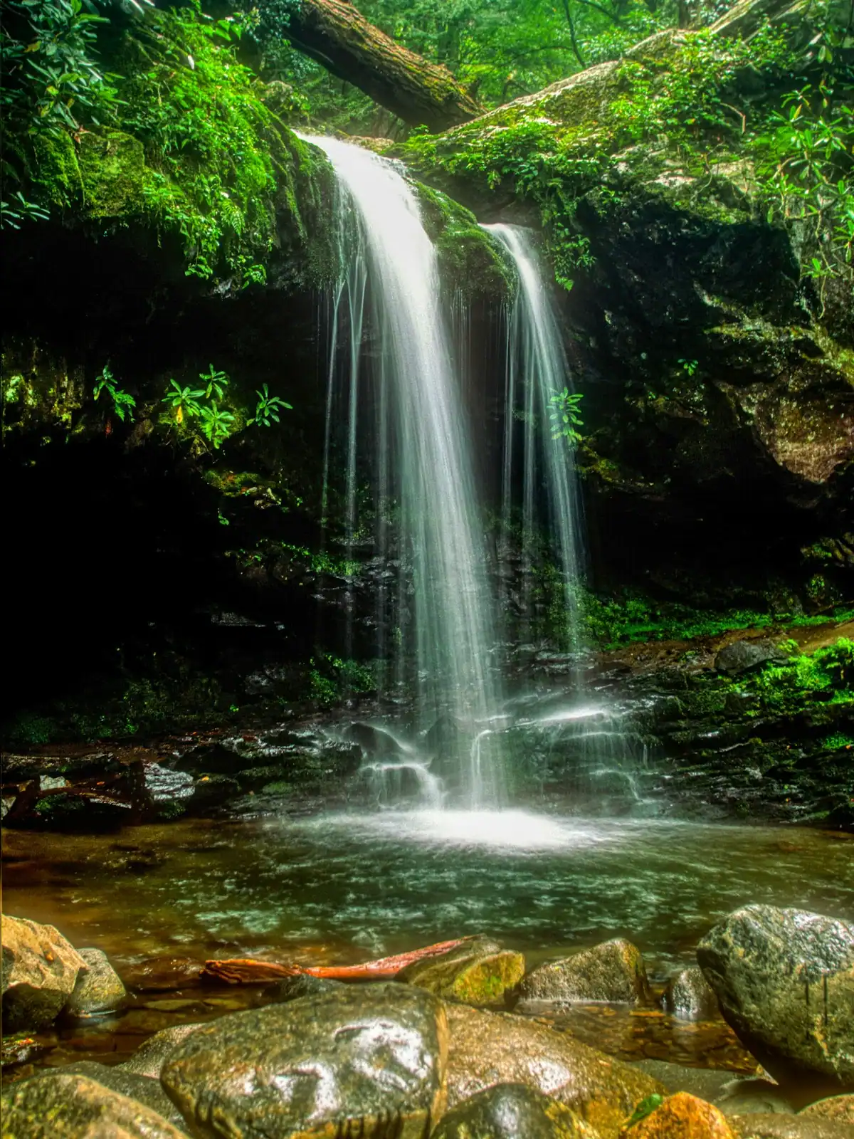
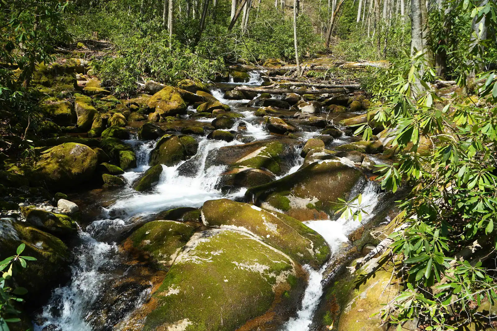
The second thing to calibrate is the waterfalls. Southern Appalachian falls are cascades, not plunges. Water slides down a staircase of rock through rhododendron rather than dropping off a cliff into a bowl. Fall Branch Falls, the one most cabin guests actually walk to, is a handsome two-tier slide reached in a few hundred yards from Stanley Creek Road. Long Creek Falls, out at Three Forks where the Appalachian Trail and the Benton MacKaye Trail run on the same treadway, is a broad tumble at the end of a gentle mile. Neither will look like the photographs that brought you here if those photographs were taken somewhere else. Both are genuinely lovely in a low, green, close-in way, and both are far better after two days of rain than after two weeks without.
The third thing is that this is where the Appalachian Trail begins. Springer Mountain sits at 3,770 feet on the line between Fannin and Gilmer counties, and the Benton MacKaye Trail starts a few hundred yards north of the same summit, then runs almost three hundred miles to the Smokies with 81.8 of those miles in Georgia. In the first two weeks of March the summit register fills with people who are about to walk to Maine. You can drive to within a mile of it on Forest Service Road 42, which is either a wonderful shortcut or a piece of mild sacrilege depending on who you ask at the shelter.
What follows is organised around the practical problems: the roads, the falls worth the drive, the trail network you can reach on tarmac, the terminus, and the two things that genuinely catch visitors out up here, which are bears and the total absence of a phone signal in the coves.
Aska Road leaves Blue Ridge just south of town, climbs over a shoulder and runs down between Lake Blue Ridge on one side and the Toccoa River on the other. The strip of national forest in between carries a connected network of trails known locally as the Aska Adventure Area, and it is the single most useful piece of hiking ground for anyone staying in a cabin, for one reason: you get there on tarmac.
The named routes include the Stanley Gap Trail, the Green Mountain Trail, the Long Branch Loop and the Flat Creek Loop, and they link into one another well enough that you can build a walk of an hour or of most of a day from the same trailhead. Mileages published for the network vary between sources, so take the figure on the kiosk at the trailhead over anything you read in advance.
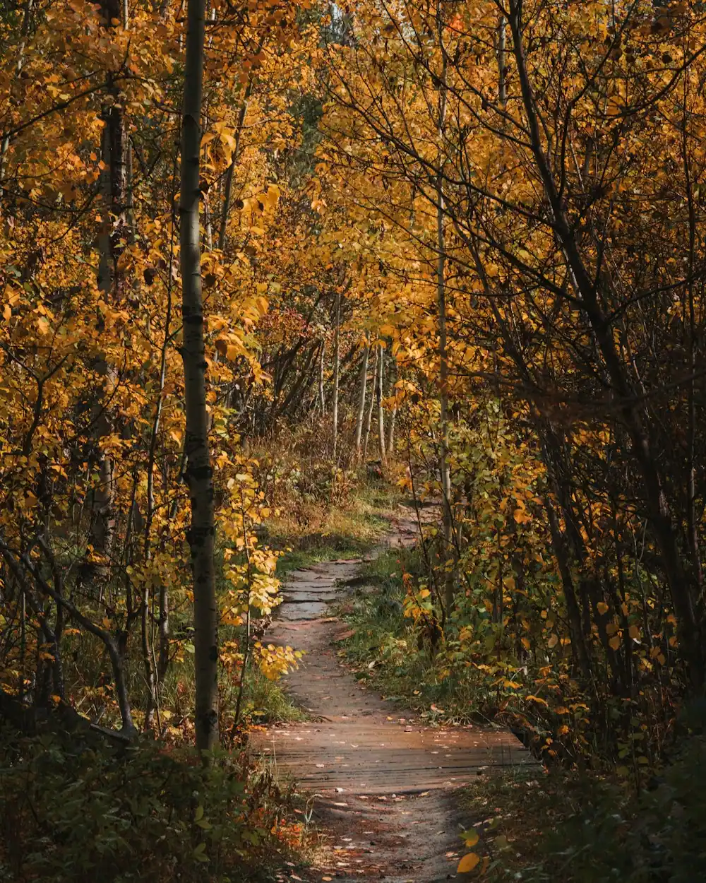
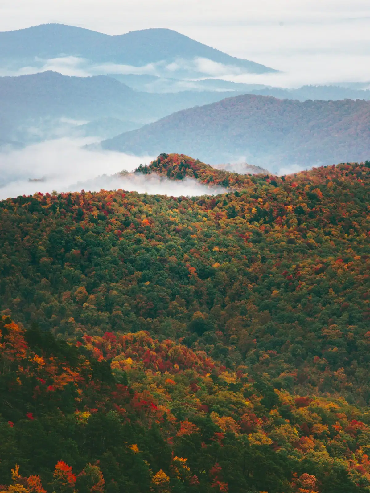
Two characteristics to expect. It is steeper than the distances suggest, because these are ridge-and-cove trails that climb and drop rather than contour. And the views are seasonal: the hardwood canopy closes over in May and the long looks across to Lake Blue Ridge come back in November when the leaves drop. Winter hiking here is genuinely better than summer hiking, which is the opposite of what most visitors assume.
Aska Road itself is narrow, blind in places and used by log trucks. It is not a road to drive quickly, and in October it carries far more traffic than it was built for.
Springer is not dramatic. It is a rounded, wooded summit at 3,770 feet with a bronze plaque set into a rock, a view through trees, and a register in a hinged box that thru-hikers sign on the morning they start walking north. The drama is entirely in what it means.
Two long trails begin within half a mile of each other here. The Appalachian Trail runs 2,190-odd miles from this plaque to Katahdin; it has started here since 1958, when the terminus was moved up from Mount Oglethorpe because development was closing in on the older start. The Benton MacKaye Trail begins about three hundred yards north of the summit and heads nearly three hundred miles the other way round the Smokies, 81.8 of those miles in Georgia, and it is by far the quieter walk.
There are two ways up. The purist route is the approach trail from the Amicalola Falls State Park visitor centre, 8.5 miles with a long climb and the falls staircase at the start. The practical route is Forest Service Road 42, which crosses the Appalachian Trail 0.9 miles north of the summit and turns the whole thing into a short out-and-back. FS 42 is a proper mountain gravel road, long, slow and sometimes rough, and it is not the drive to attempt in the dark on your first night.
Go in early March if you want to see the thing at its most alive. Go on a weekday in November if you want it to yourself.
Local tips
When to go
October is when everybody comes, and October is not the best hiking month. It is the most beautiful one, but trailheads on Aska Road overflow by nine, the gravel roads carry traffic they were never built for, and the walking itself is no better than it is in November.
The genuinely good stretches are these.
Late March into early May. Water is high, so the cascades are at their best, the wildflowers on the cove floors come through before the canopy closes, and the temperature is right for climbing. This is also when thru-hikers are moving north past Springer, which gives the trails a particular atmosphere.
Late October into December. The leaves come off, the views open up, the ground firms and the bugs go. Winter is when you can actually see Lake Blue Ridge from the Aska ridges. Take an extra layer, because a north-facing cove at 2,500 feet stays cold all day.
June to August, early only. Green, humid, thunderstormy after lunch. Start at seven, finish by noon, spend the afternoon in the river.
January and February. Quiet, sometimes icy, occasionally snowy, and the one time of year a Forest Service road might be gated on you without warning. Rewarding if you are equipped and a long way from the cabin if you are not.
 Unsplash
Before you book
Trailheads in the Chattahoochee are at the end of Forest Service roads, and those roads vary from graded gravel a hire car will not notice to rutted shelf road where a low front bumper becomes a problem. There is no reliable way to tell from a mapping app, which will happily send you down both at the same estimated speed.
Three habits fix most of it.
Screenshot the map before you leave the cabin. Signal disappears in the coves, and a route that was loading fine in town will stop updating a mile after the tarmac ends.
Assume fifteen to twenty miles an hour once the gravel starts, and add that to your estimate rather than trusting the arrival time on the screen. A trailhead eleven miles from Blue Ridge can be a forty-minute drive.
Check gate status for winter. The forest gates some roads seasonally, and a closed gate can add several miles of walking each way to a hike you planned as two hours. The Blue Ridge Ranger District office on East Main Street is the place to ask, and asking a person is more reliable than any website.
If you are in a low-clearance rental and would rather not find out, Aska Road and Stanley Creek Road get you to real trail on surfaces a saloon handles, and that is where first-timers should start.
How they compare
Four are worth a cabin week. They are not equivalent, and the drive matters as much as the walk.
| Falls | Walk | The drive | Worth it when |
|---|---|---|---|
| Fall Branch Falls | A few hundred yards, steep at the end | Stanley Creek Road, paved then gravel, short | Always. This is the one to do on arrival day |
| Long Creek Falls | About a mile each way, gentle | Forest Service roads towards Three Forks, slow | You want the Appalachian Trail underfoot without committing to a climb |
| Toccoa River Swinging Bridge | Short, but the road out is the event | Long, winding, partly gravel | You have a spare half day and like a drive |
| Amicalola Falls | Stairs, several hundred of them, or drive to the top | Around an hour south, all paved | You want the big one and do not mind leaving the county |
Amicalola is the outlier and the honest note is that it is not in Fannin County. It sits in Dawson County inside a state park, it drops 729 feet in a series of cascades, it is the tallest waterfall in Georgia, and it is the only one on this list with a car park, a lodge and a queue. It is also where the Appalachian Trail approach begins, 8.5 miles from the visitor centre to Springer. Treat it as a day trip, not a local walk.
Everything up here runs harder in late winter and spring. A cascade that is a curtain in March can be a trickle by late September, which is worth knowing if you booked for leaf season.
On the ground
Every place below has its own page — hours, parking, what it costs and what to expect when you get there.
The Appalachian Trail's first white blaze sits at 3,770 feet, about an hour of mountain road from a Blue Ridge cabin.
1.5–7 hoursFree. No entry fee, no parking charge, no facilities.
Photograph: Thomson20192
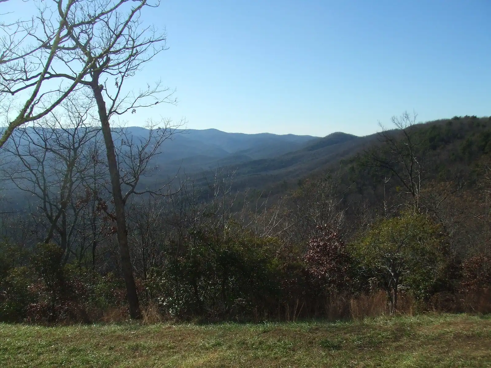
Georgia's tallest waterfall at 729 feet, about an hour south, with a staircase of six hundred-odd steps up the side of it.
1.5–5 hoursGeorgia state park daily parking pass per vehicle; annual passes available.
Photograph: Thomsonmg2000
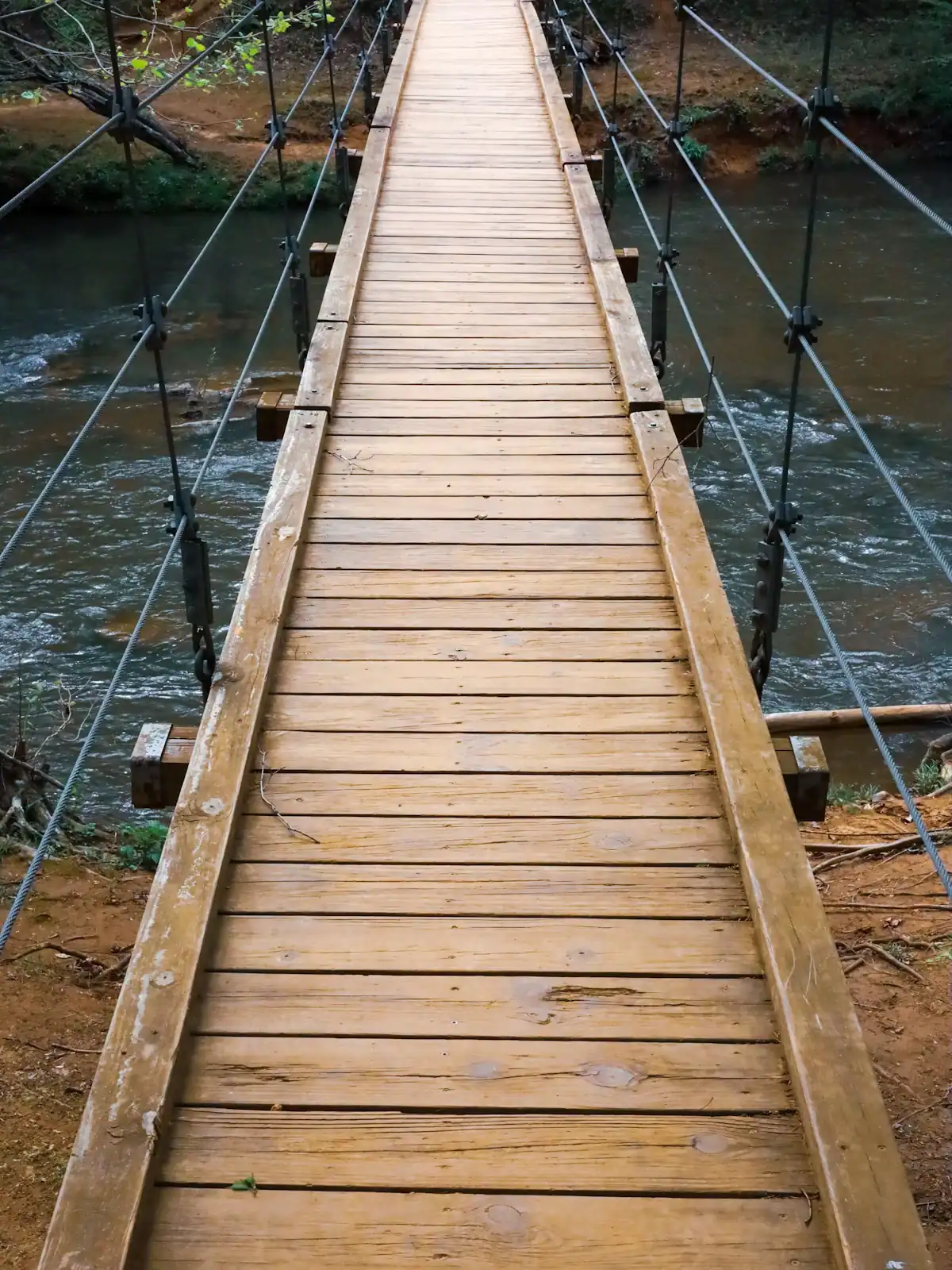
A cable footbridge that genuinely sways, hung over the Toccoa on the Benton MacKaye Trail, at the end of a gravel forest road.
0.5–4 hoursFree. No fee, no gate, no facilities.
Photograph: Unsplash
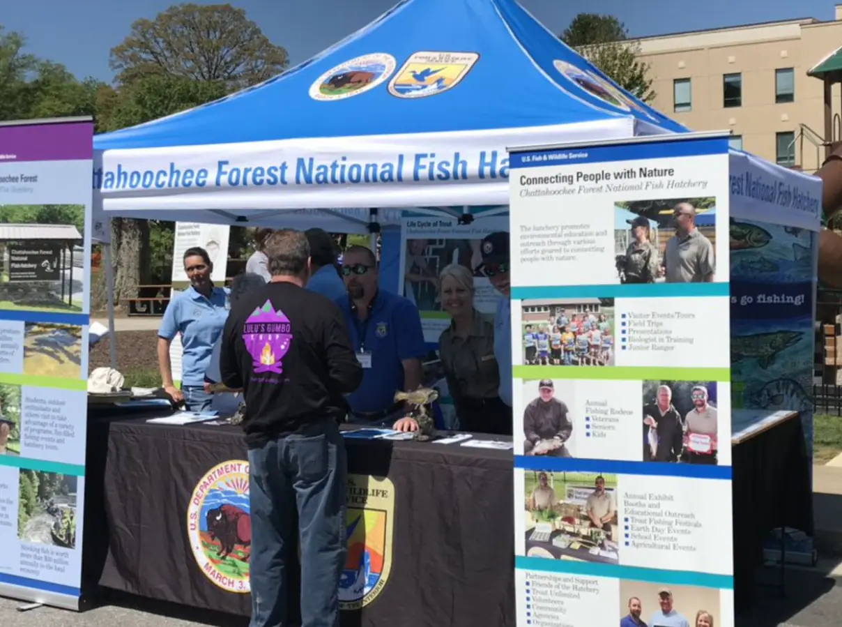
Around 106,000 acres of public land in Fannin County alone, almost none of it signposted, gated or supervised in the way visitors expect.
2–8 hoursFree to enter. Developed campgrounds and some day-use areas charge a fee.
Photograph: USFWS
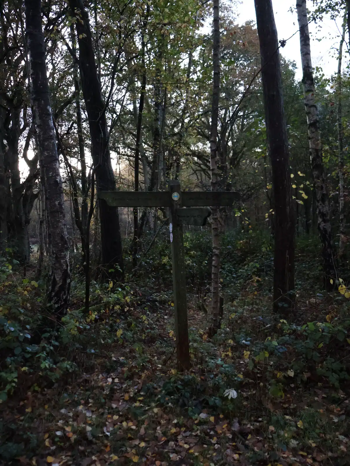
A ridge of Forest Service singletrack wedged between the lake and the river, and the closest real hiking to most Blue Ridge cabins.
1.5–6 hoursFree. No permit, no parking fee, no facilities.
Photograph: Unsplash
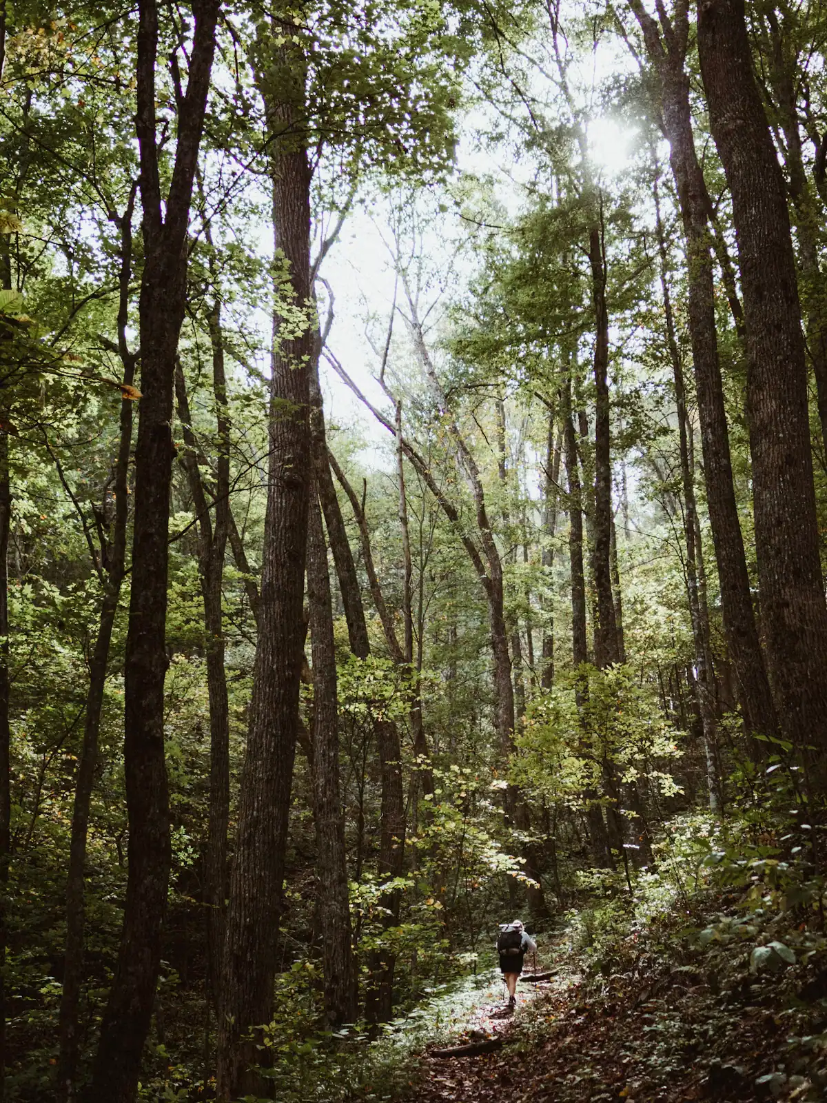
The quieter long trail: 300 miles from Springer Mountain to the Smokies, and the one that actually runs through Fannin County.
1–8 hoursFree. No permit required for day walking, no facilities on the trail.
Photograph: Unsplash
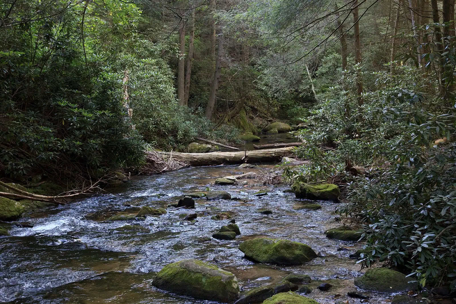
Georgia's best-known wild trout creek, where the 16-inch size limit means almost everything you catch goes back.
3–8 hoursFree to access. A Georgia fishing licence and trout licence are required to fish.
Photograph: Scott Long
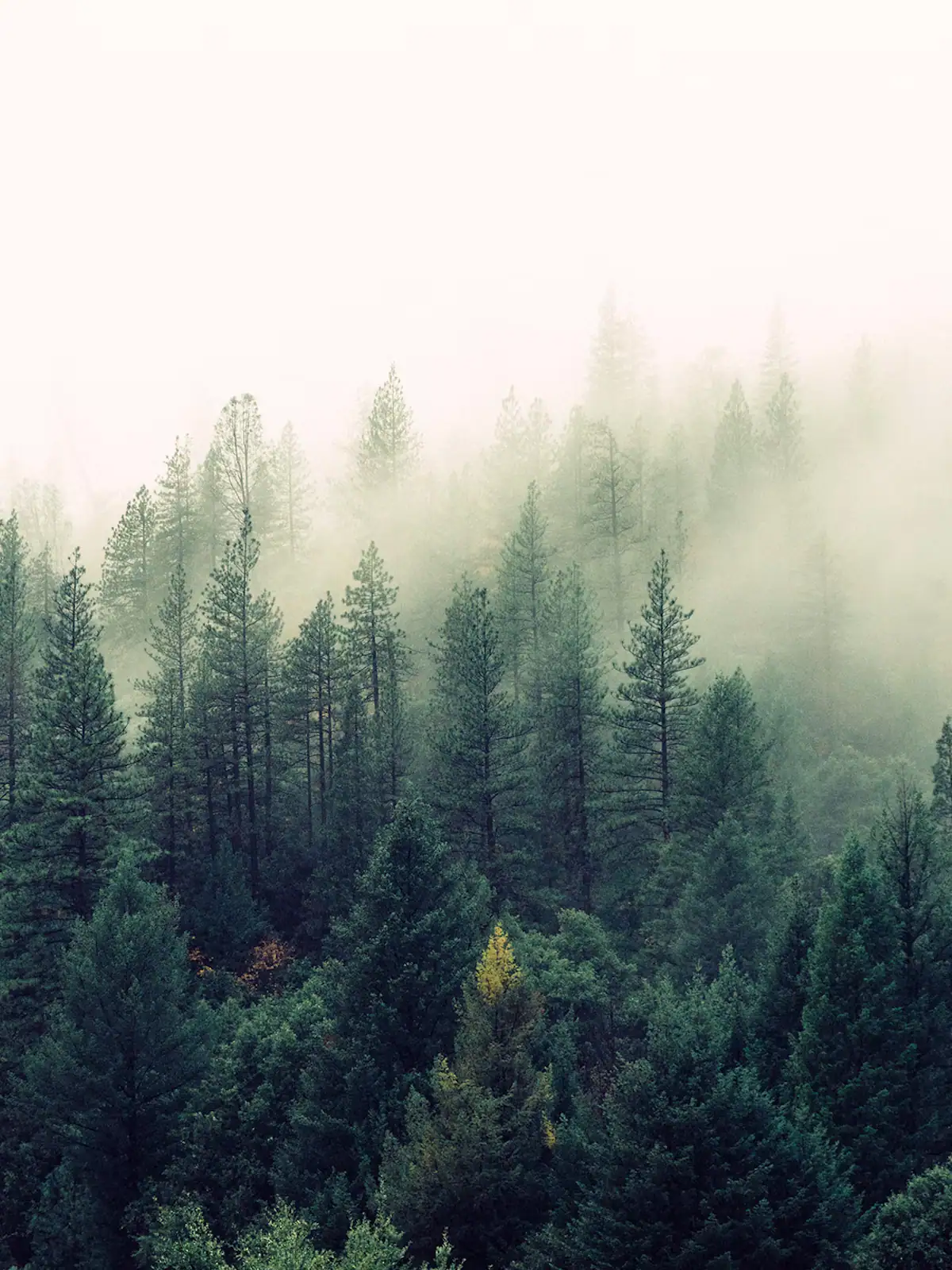
Nearly 37,000 acres of designated wilderness on the county's western edge: no blazes, no signal and dozens of river crossings.
5–10 hoursFree. No entrance fee, no facilities and no staffed access point.
Photograph: Unsplash

A broad, stepped falls a few minutes off the Appalachian Trail, reached by a forest road that does most of the work of keeping it quiet.
2–4 hoursFree. No fee, no facilities, no waste collection.
Photograph: Frances Long Taylor
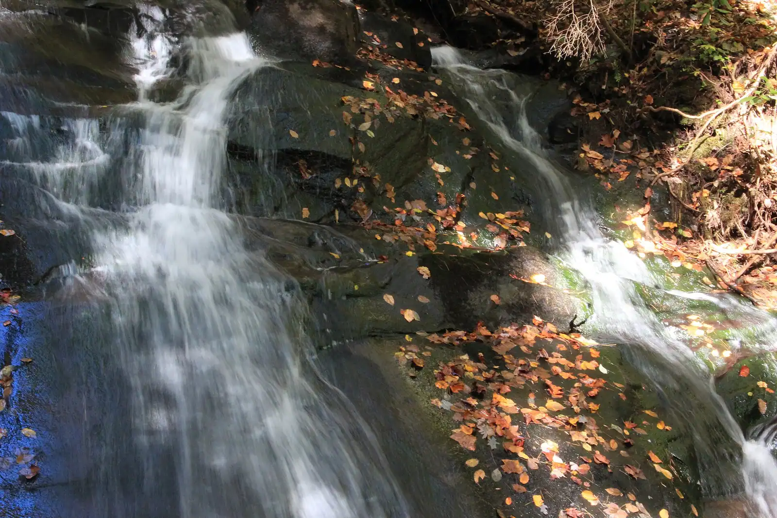
The closest real waterfall to a Blue Ridge cabin: a few hundred yards down the Benton MacKaye Trail, all of it downhill on the way in.
0.5–1.5 hoursFree. No fee, no facilities, and very limited verge parking.
Photograph: Thomson20192
Straight answers
Fall Branch Falls, off Stanley Creek Road. The walk from the pull-in is only a few hundred yards, though the last section down to the viewing platform is steep and can be slippery when wet. It is a two-tier cascade on the Benton MacKaye Trail and it is the one to do on your arrival afternoon, because the drive is short and mostly paved. It runs much harder in spring than in late summer.
Almost. Forest Service Road 42 crosses the Appalachian Trail about nine-tenths of a mile north of the summit, so you can park there and walk to the plaque and back in well under an hour. FS 42 is a long gravel mountain road and it is slow going, so budget far more driving time than the distance suggests. The alternative is the 8.5-mile approach trail from the Amicalola Falls State Park visitor centre.
Usually not, but it depends which trailhead. Aska Road and Stanley Creek Road are fine in any car. The longer Forest Service roads out towards Three Forks and Springer Mountain are gravel, sometimes rutted, and unkind to a low front bumper after heavy rain. If you are in a standard hire car, stick to the Aska network and Fall Branch Falls, and ask at the Blue Ridge Ranger District office before committing to anything further out.
Yes. Fannin County sits in the middle of north Georgia's black bear range and sightings around cabins are common, particularly in autumn when bears are feeding hard. On the trail they almost always leave. The real issue is at the cabin: secure bins, no coolers or grills left out overnight, nothing edible on a screened porch. Bears that learn to associate driveways with food end up being destroyed, so this matters beyond your own week.
Roughly 75 to 80 miles, from the southern terminus on Springer Mountain north to the North Carolina line at Bly Gap. The Benton MacKaye Trail, which also begins just north of the Springer summit, carries 81.8 of its nearly three hundred miles inside Georgia and is far quieter. Both are within an hour's drive of Blue Ridge, and short out-and-back sections make good half-day walks from a cabin.
Late winter through spring, roughly February to May, when the ground is saturated and the creeks are full. Cascades that are impressive in March can be a thin trickle by late September after a dry summer. If you are visiting for autumn colour, go after a wet spell rather than a dry one, and accept that the falls are a supporting act to the leaves in October rather than the main event.
Not reliably. Coverage holds in Blue Ridge itself and on some ridgelines, then disappears entirely in the coves and along the river valleys where most of the trails sit. Download your maps before you leave the cabin, leave a note of which trail you are walking, and do not assume you can look up directions at the trailhead. This is also true of the drive in on Forest Service roads.
Some are. Fall Branch Falls is short enough for most five-year-olds, with a steep final pitch that needs a hand. Long Creek Falls is about a mile each way on gentle ground and works well for anyone who can manage two miles. The Aska network climbs steadily and is better suited to older children. The limiting factor is usually the drive rather than the walk, so pick the trailhead you can reach in twenty minutes.
Keep exploring
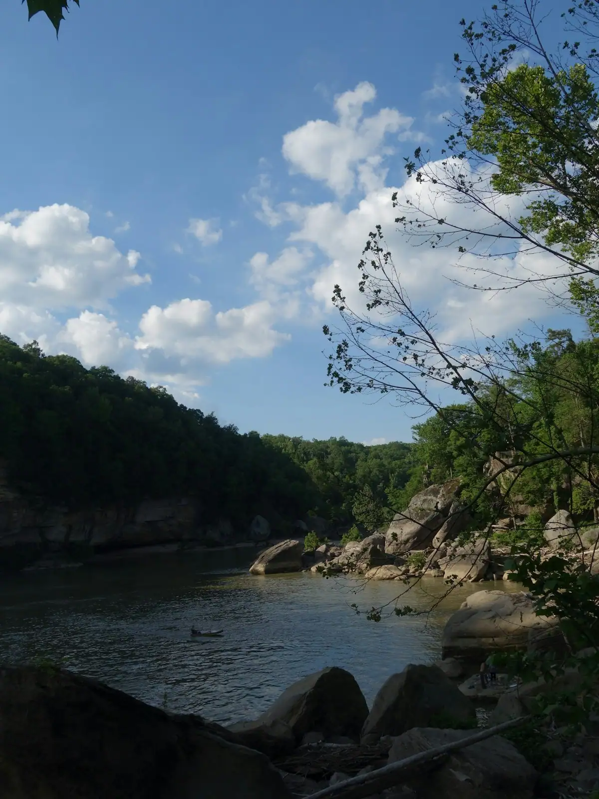
The Toccoa runs the wrong way. Georgia rivers are supposed to head for the Atlantic or the Gulf, and this one starts at about 2,120 feet in Union…
Photograph: Unsplash
Autumn is the reason Fannin County has a visitor economy of the size it has. It is also the season most often mistimed, because people book it…
Photograph: Unsplash
Look at Lake Blue Ridge from a boat in the middle and count the houses. On most stretches the answer is none. The shoreline is trees to the…
Photograph: Unsplash
Once the cabin is paid for, Fannin County is close to free, and that is not a budget-travel writer's spin. It is a consequence of what the place is…
Photograph: Unsplash
Here is the thing nobody puts in a family travel article about this county, and it is the most useful sentence on the page: for children under about…
Photograph: Unsplash
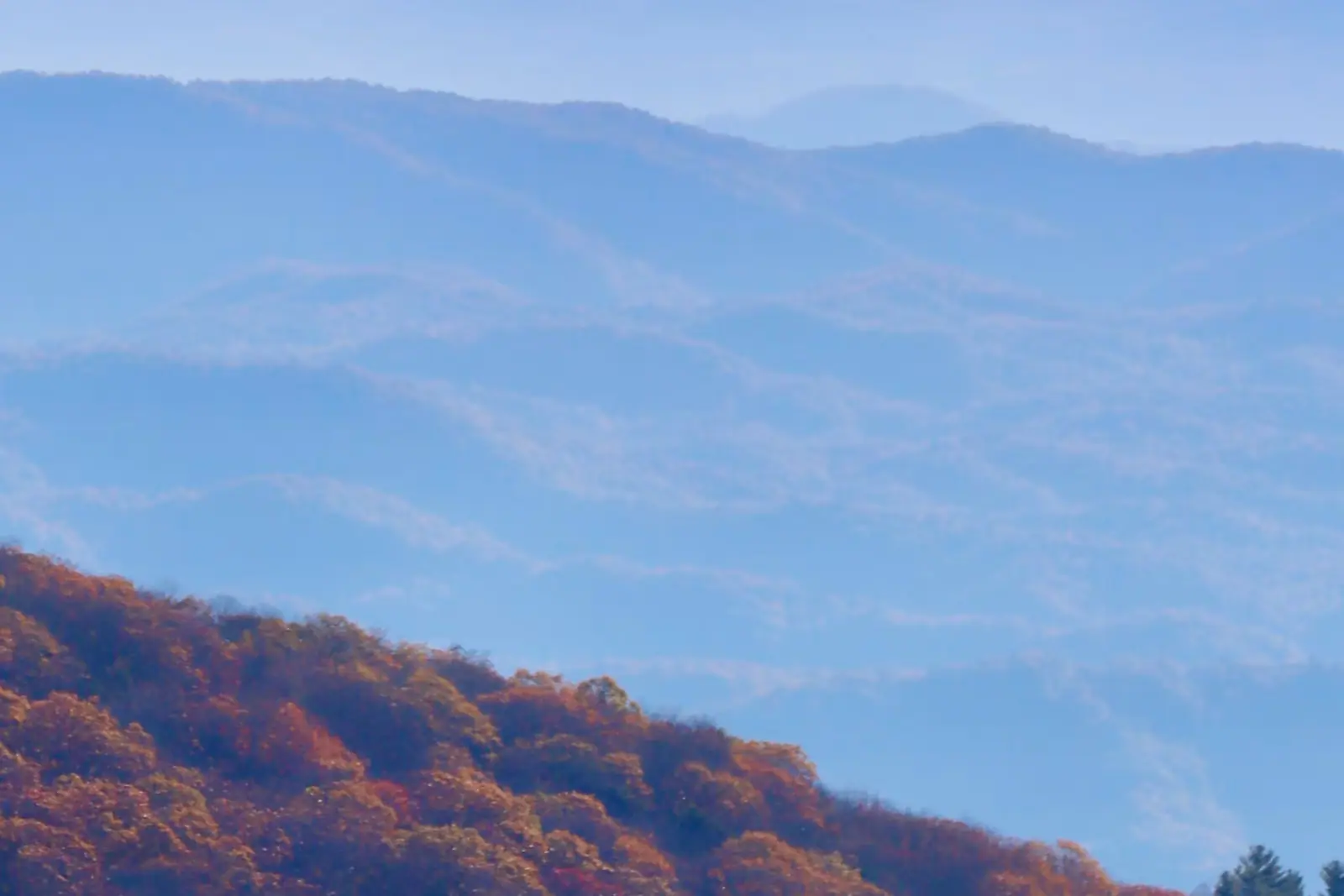
Almost nobody comes to Blue Ridge and stays in a hotel. They rent a cabin, usually for two or three nights, usually up a slope somewhere off a…
Photograph: Unsplash
Read next
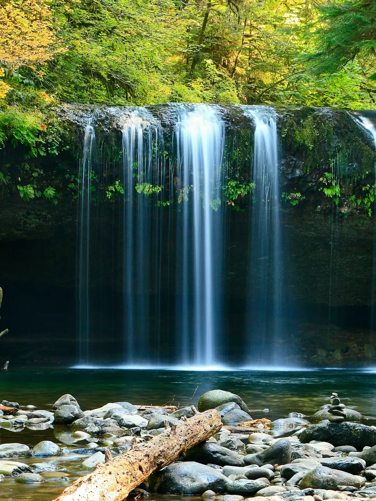
The walks are short. The gravel roads that reach them are not, and that is what actually decides your afternoon. What each waterfall is really like, and how to get there.
6 min readWyatt Ledford
Photograph: Unsplash
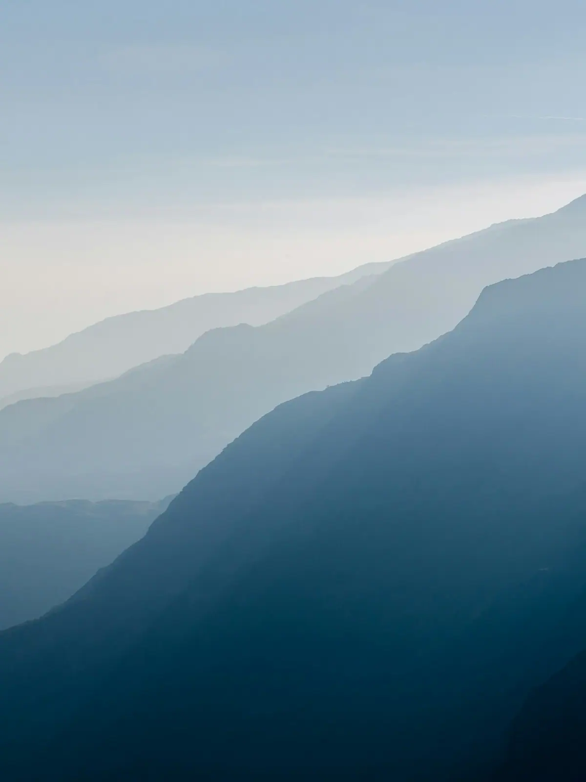
Colour here is a function of height, not of the calendar. The county spans about 2,300 feet of elevation and the change comes downhill over roughly three weeks.
7 min readWyatt Ledford
Photograph: Unsplash
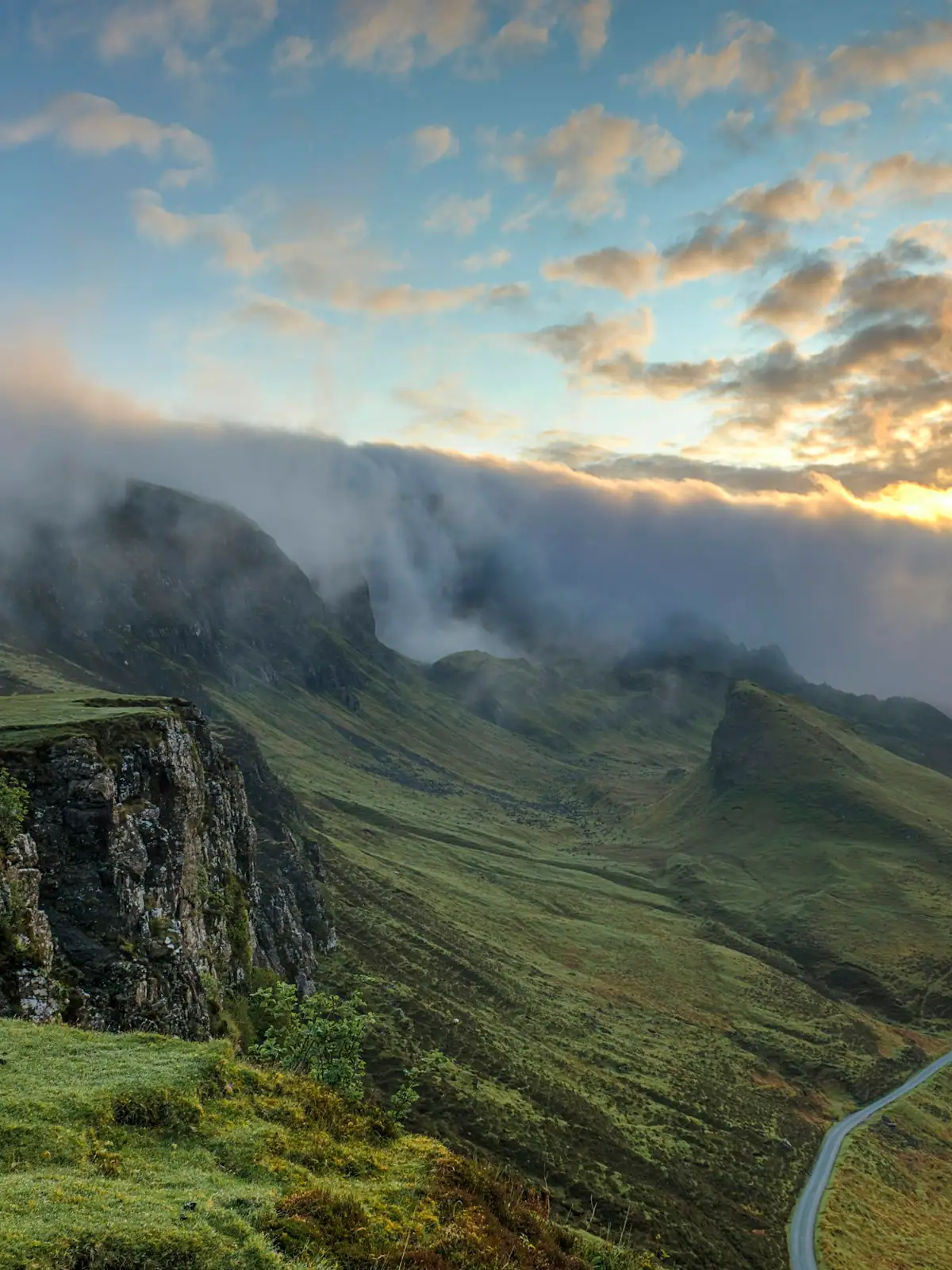
A town of 1,250 people, a county where nine in ten residents live outside any town at all, and three centres that point in three different directions. Here is how it fits together.
6 min readDarlene Pickett
Photograph: Unsplash
The driveway is steeper than the photograph, the signal goes a mile before the gate, and the wood stove wants seasoned wood. What a cabin weekend in Fannin County actually involves.
9 min readDarlene Pickett
Photograph: Unsplash