Skip to content
Search
Menu

These bookings pay us a commission through Viator. Your price does not change, and neither did our picks because of it.

Water feature

Fall Branch Falls

Last updated

The closest real waterfall to a Blue Ridge cabin: a few hundred yards down the Benton MacKaye Trail, all of it downhill on the way in.

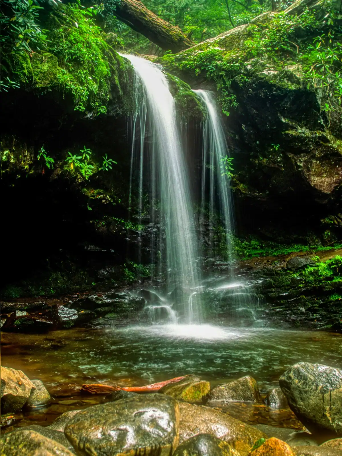
Photo: Thomson20192CC0

Fall Branch Falls exists in this guide for one reason: it is the waterfall you can actually get a reluctant walker to. The trail from the road to the viewing area is a matter of a few hundred yards, not miles, which puts it within reach of children, of people who do not walk for pleasure, and of anybody who has already spent their day doing something else.

That short distance is not flat. The path drops steeply off the road on rough steps and roots, and the return is a genuine climb that will have a five-year-old asking to be carried. Ten minutes down, twenty minutes back up, and you will be warmer than you expected at the top.

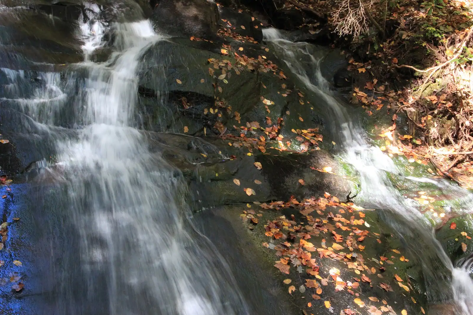
The falls are a tall, narrow chute dropping in stages through rhododendron, with a small timber viewing platform partway. The volume varies enormously. After a wet week in March it is loud and full and throws spray; in a dry September it can be a trickle down a rock face. Both are worth seeing but they are not the same attraction, and the photograph you saw was probably taken in spring.

The other thing to know is that the path here is the Benton MacKaye Trail, the 300-mile route that starts at Springer Mountain and runs to the Great Smoky Mountains, blazed with a white diamond. It carries on up the slope past the falls towards the Stanley Gap side of the Aska network, so you can turn a ten-minute stop into a proper half-day if you want one.

The real constraint is parking. This is a narrow country road with room for a handful of cars on the verge, and on an October Saturday that is the whole story.

Getting there and parking

Head south-east out of Blue Ridge on Aska Road and then onto the Stanley Creek road network. The whole approach is paved, which makes this the most accessible waterfall in the county by car, but the roads are narrow, winding and without shoulders.

Allow 20 to 30 minutes from downtown. The trailhead is a verge pull-in with space for a handful of vehicles, marked by a small sign and by the parked cars. If it is full, keep driving and come back rather than putting two wheels in a soft verge on a blind bend.

Mobile signal along this road is patchy and gone in the hollows. Load the route before you leave town.

If you are already out at the Aska trailheads, Fall Branch is close enough to add on the way home, and the Benton MacKaye Trail connects the two areas on foot for anyone wanting a longer day.

Down to the falls, and back up again

From the roadside pull-in, the trail drops off the shoulder immediately and steeply. There are rough steps in places, roots throughout, and a surface that is muddy for days after rain and slick under wet leaves in autumn.

Within a few minutes you reach the viewing area, a small timber platform set below the main drop. It is the only constructed thing on the walk. From there the falls come down in a narrow chute through rhododendron, stepping over ledges rather than free-falling.

The climb back out is short and unrelenting, and it is where the outing actually happens for most families. There is no gentler alternative route. If somebody in your party will not manage a steep quarter mile uphill, they will not manage this.

If you want more, keep going. The Benton MacKaye Trail continues past the falls and climbs towards Stanley Gap and the Aska trail network beyond, which turns a ten-minute stop into a serious afternoon. Take a map before committing to that; the blazes are reliable but the junctions are not signposted with distances.

Footwear matters more here than the length suggests. Trainers with no tread are the wrong choice on a wet descent.

The parking problem, which is the whole problem

The trailhead is a pull-in on a narrow paved country road in the Aska country south of Blue Ridge. There is room for a handful of cars and no more.

On a weekday, or any time outside leaf season, this is not an issue and you will have the falls to yourself. On a Saturday in the second half of October it is the entire experience: cars parked along the verge on both sides, a road that was not built for two-way traffic reduced to one lane, and somebody reversing a large truck a quarter of a mile because there is nowhere to turn.

What to do about it. Arrive before nine or after three. If the pull-in is full, drive on and come back later rather than improvising a space; the verge is soft, the ditch is real, and blocking this road properly inconveniences people who live on it.

Do not park in front of a private drive. The houses along here are homes, not rentals, and there are relatively few of them.

If you are coming from a cabin, this is the sort of stop where one car for the whole party makes a genuine difference to everyone else's day.

Water volume, and why your photograph looks nothing like it

Fall Branch is a small creek and the falls reflect that honestly.

Late winter and spring are the peak. February through April, after a wet spell, the chute is full, loud and throwing spray, and the surrounding rock is black and wet. This is when the photographs that make people drive out here are taken.

Early summer is still good, with the rhododendron flowering through May and June, which is genuinely the prettiest the setting gets.

Late summer and early autumn can be thin. After a dry August the falls reduce to a modest run down the rock, and visitors who arrived expecting the spring picture leave disappointed. The forest is still worth the walk.

Autumn colour brings the crowd that this pull-in cannot absorb. The turn lands somewhere in the back half of October here and occasionally hangs on past the first of November, and it is not the same fortnight two years running. Watch a live leaf tracker in the week before you travel rather than booking against the calendar.

Winter with leaves down gives the clearest view of the whole drop and the fewest people. Watch for ice on the descent in shade.

Go within a couple of days of rain if the water is what you came for.
Near Fall Branch Falls

Straight-line distances, so allow more on the road — the island is long and has one main parkway.

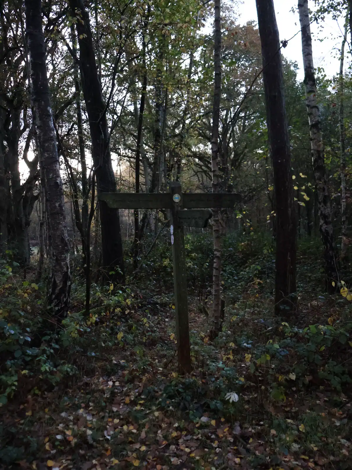
  • A wooden trail signpost standing in dense autumn woodland
    Trail

    Aska Adventure Area

    Free

    A ridge of Forest Service singletrack wedged between the lake and the river, and the closest real hiking to most Blue Ridge cabins.

    1.5–6 hoursFree. No permit, no parking fee, no facilities.2.1 mi away

    Photograph: Unsplash

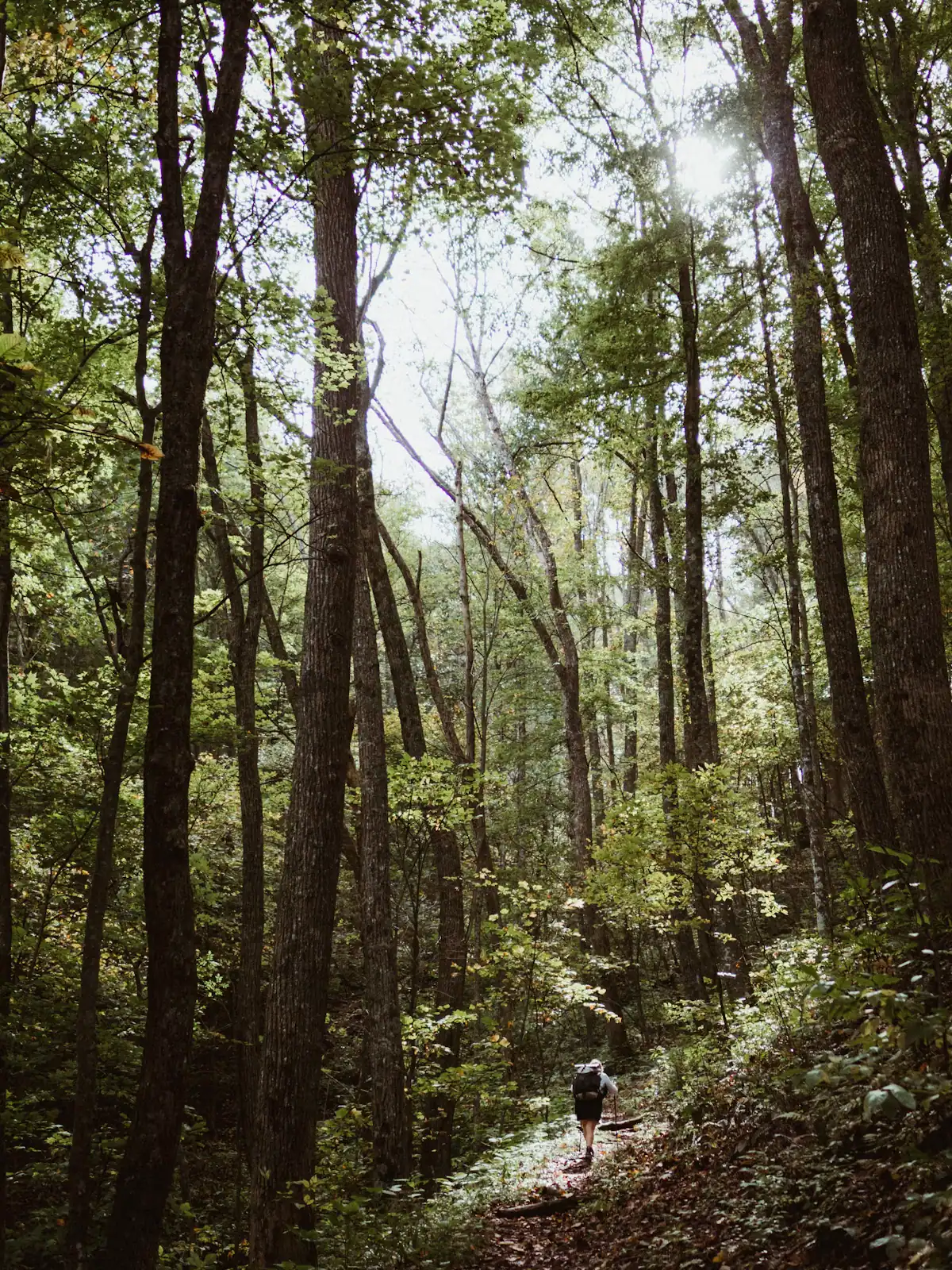
  • A lone walker on a narrow path through tall forest
    Trail

    Benton MacKaye Trail

    Free

    The quieter long trail: 300 miles from Springer Mountain to the Smokies, and the one that actually runs through Fannin County.

    1–8 hoursFree. No permit required for day walking, no facilities on the trail.8.6 mi away

    Photograph: Unsplash

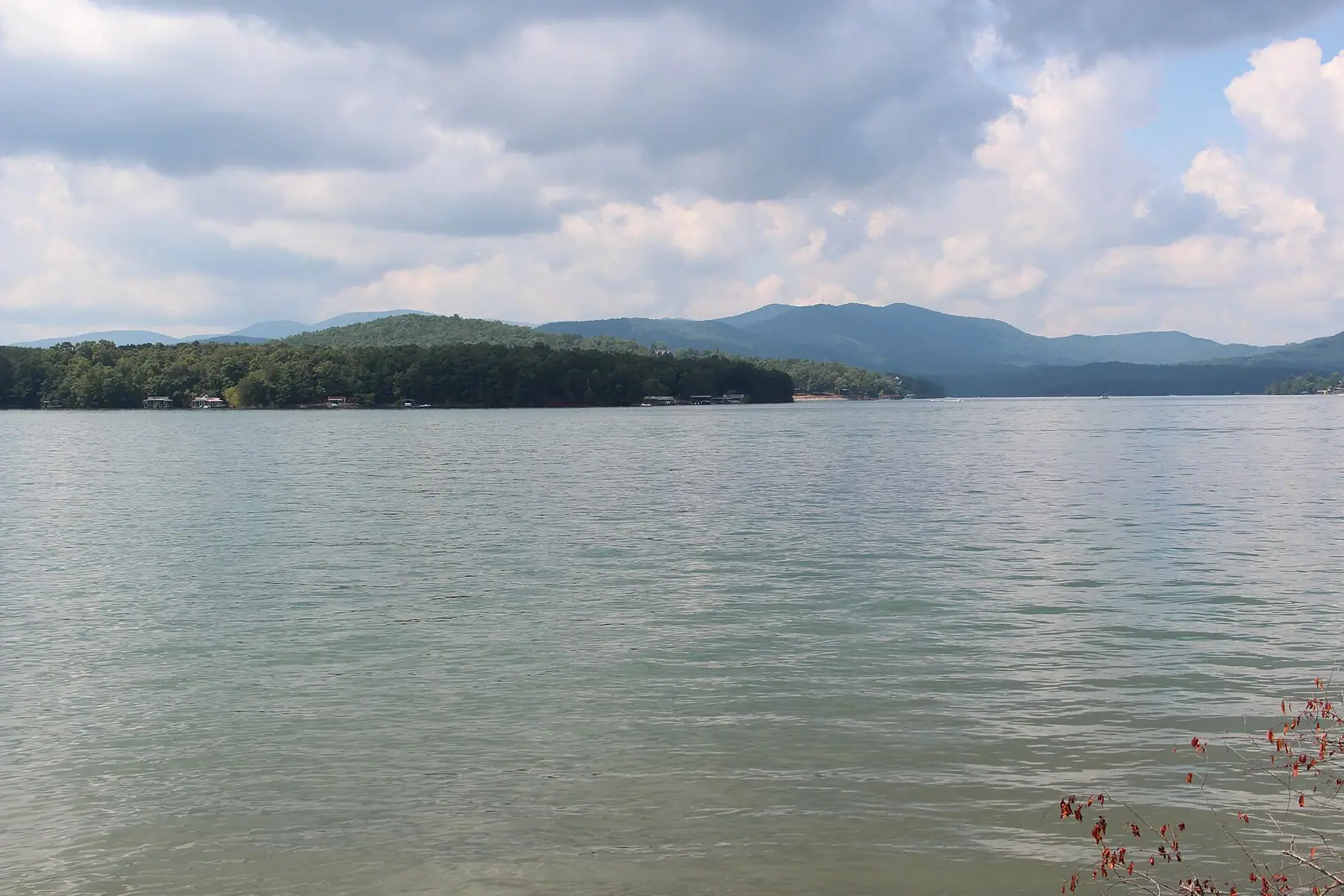
  • Pine-covered slopes running down to still green water on a mountain reservoir
    Water feature

    Lake Blue Ridge

    Free

    Thirty-three hundred acres of cold green water with national forest around most of it, and a level that TVA moves by dozens of feet a year.

    1.5–8 hoursFree to look at and to fish from public land. Recreation areas and ramps may charge.4.4 mi away

    Photograph: Thomson200

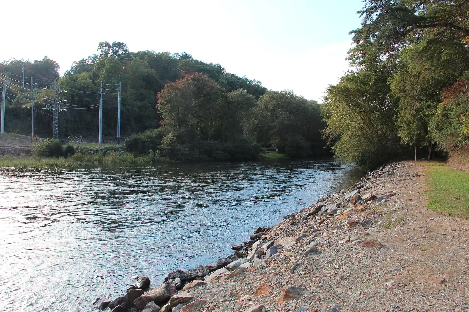
  • A shallow river running over rock ledges between steep banks of dense forest
    Water feature

    Toccoa River

    Free

    One river, two personalities: a lazy summer float above the lake, and a cold tailwater below the dam that fishes all year.

    2–7 hoursFree to access. Forest Service recreation areas charge a day-use parking fee, and rentals and shuttles are extra.3.8 mi away

    Photograph: Thomson200

Fall Branch Falls: common questions

How hard is the walk to Fall Branch Falls?

Short and steep. The trail drops a few hundred yards from the roadside pull-in to a small timber viewing platform, on rough steps and roots, and the return is a sustained climb. Ten minutes down and about twenty back up is realistic with children. There is no gentler alternative route, so anyone who cannot manage a steep quarter mile uphill will not manage this one, short as it is.

Is Fall Branch Falls good for young children?

It is the most child-achievable waterfall near Blue Ridge, which is not the same as easy. The distance is manageable for a four or five year old; the gradient on the way back out is what they will complain about. Wear shoes with tread, because the descent is muddy for days after rain and slick under wet leaves in autumn. A carrier is worth having for anyone under three.

Where do you park for Fall Branch Falls?

In a verge pull-in on a narrow country road in the Aska area, with room for a handful of cars and no more. On an autumn Saturday that is the defining problem of the visit, with vehicles lining both verges and a road reduced to one lane. Arrive before nine or after three, and if the pull-in is full, drive on and come back rather than parking on a soft verge or in front of a private drive.

How tall is Fall Branch Falls?

Figures circulate but we could not verify one against a reliable source, so we are not going to publish a number. What is more useful is that the water comes down in a narrow chute in stages rather than in a single free fall, and that the volume changes enormously through the year. After spring rain it is full and loud; after a dry August it can be a modest run down the rock face.

Can you walk further than the falls from here?

Yes. The path is the Benton MacKaye Trail, blazed with a white diamond, and it continues past the falls and climbs towards Stanley Gap and the Aska trail network beyond. That turns a ten-minute stop into a proper half-day walk. Take a map if you intend to link routes, because the blazes are reliable but the junctions do not carry distances, and mobile signal in the hollows is absent.