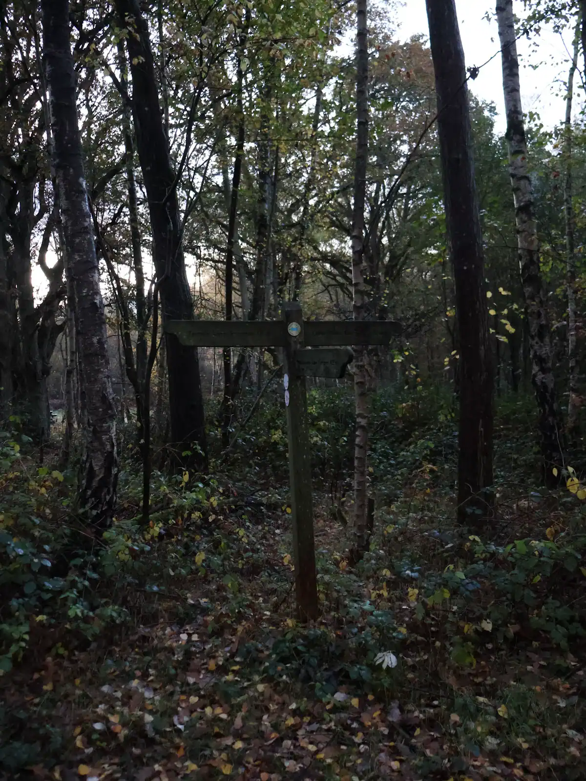
The system is usually described in terms of four or five signed routes that interlock. Rather than quote mileages we cannot verify, here is how to choose between them.
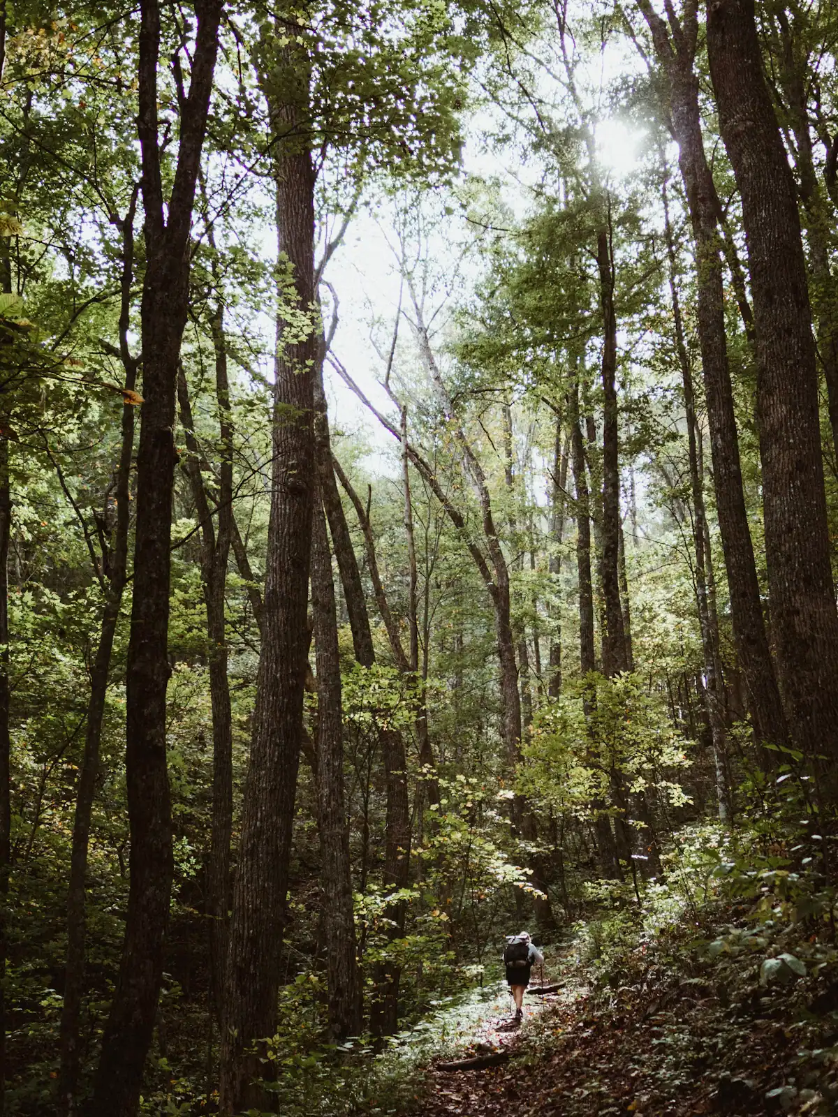
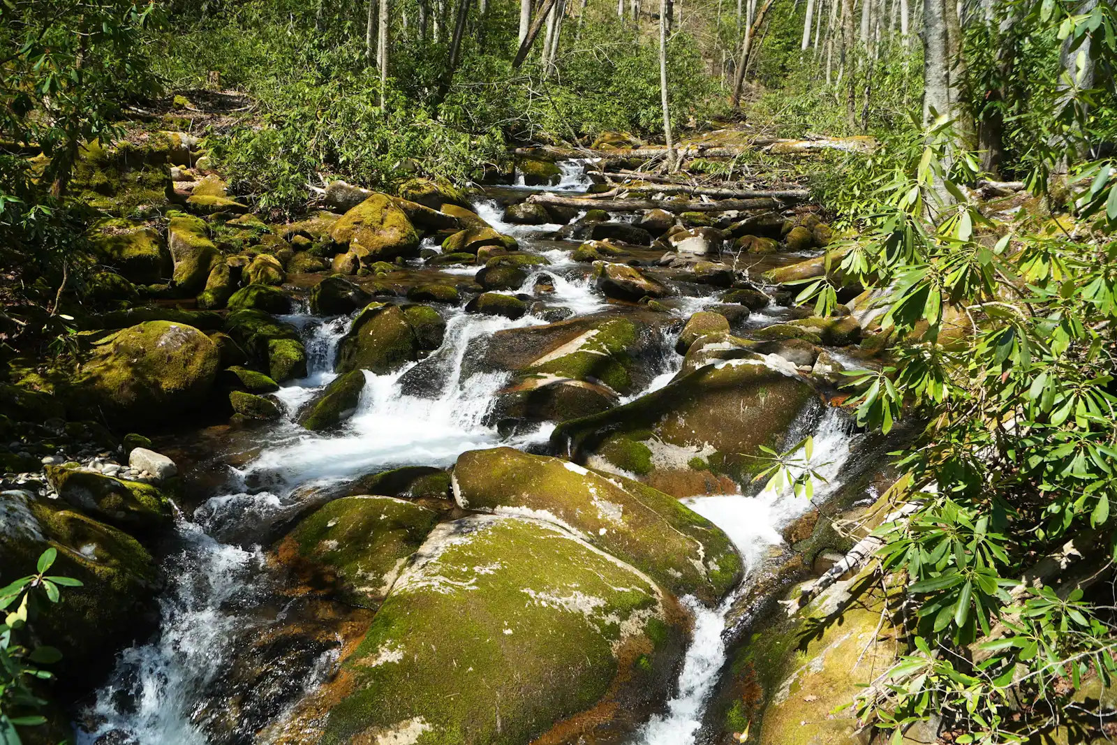
If you have an hour and a half, take one of the shorter loops from Deep Gap. You get a proper climb, a creek and a reasonable sense of the forest, and you are back before the light goes.
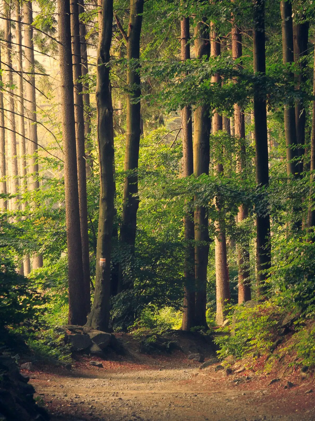
If you have half a day, link two loops. This is what the system is built for, and it is where the network stops feeling like a suburb of the road and starts feeling like backcountry.
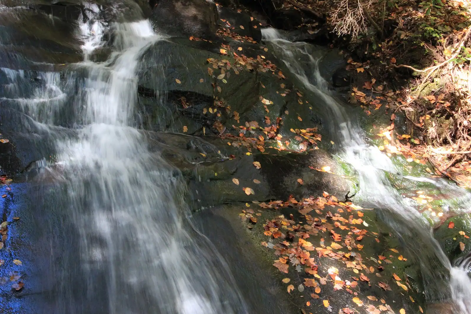
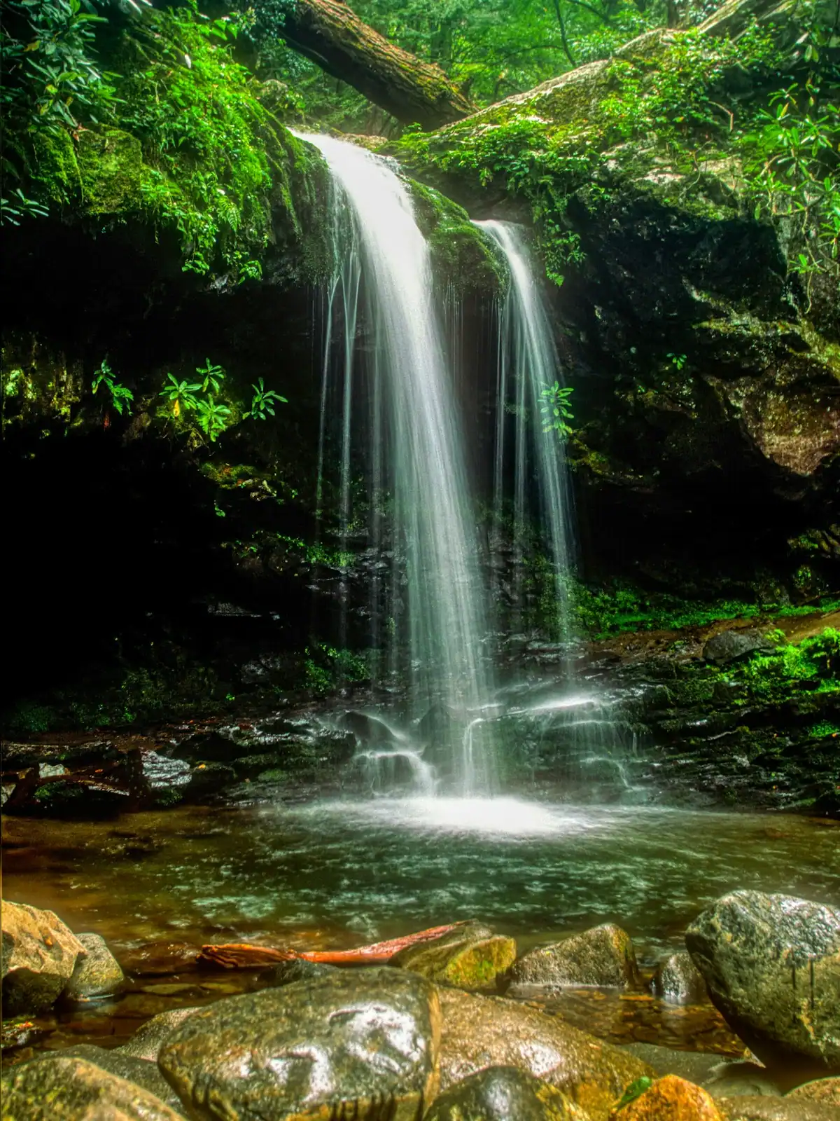
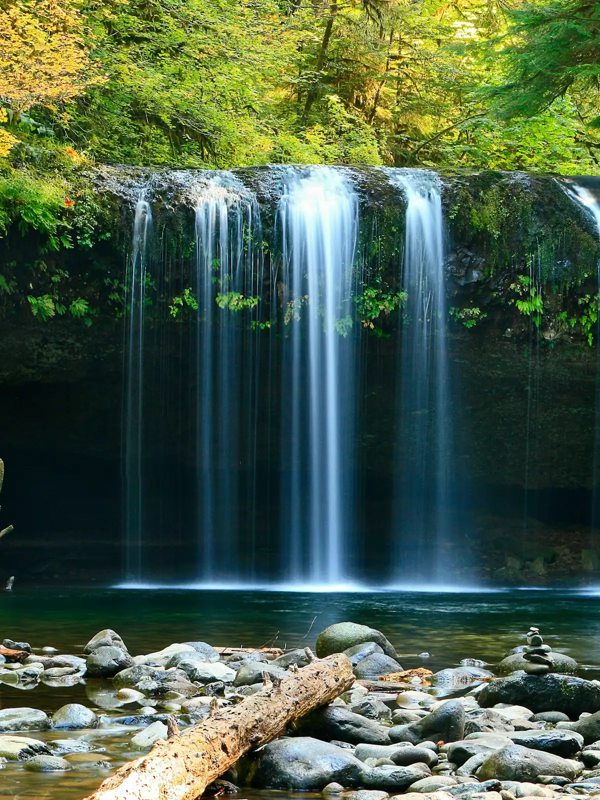
If you want a waterfall at the end, work towards the Stanley Gap side, which connects through to the Benton MacKaye Trail and Fall Branch Falls. That is a longer day and needs a map.
If you are on a bike, the climbs are the event. This is not flow-trail country. It is old-fashioned Forest Service singletrack with roots, rock and gradient, which rewards fitness more than skill.
Whatever you pick, read the kiosk at the trailhead before you set off. Loop closures for storm damage are common in this forest and are posted there rather than online.