Trail
Springer Mountain
Free
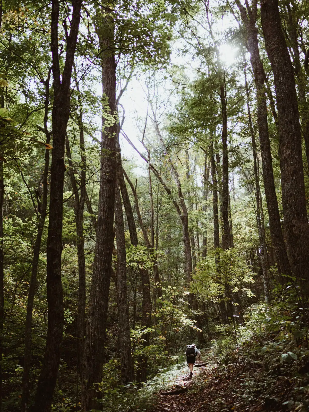
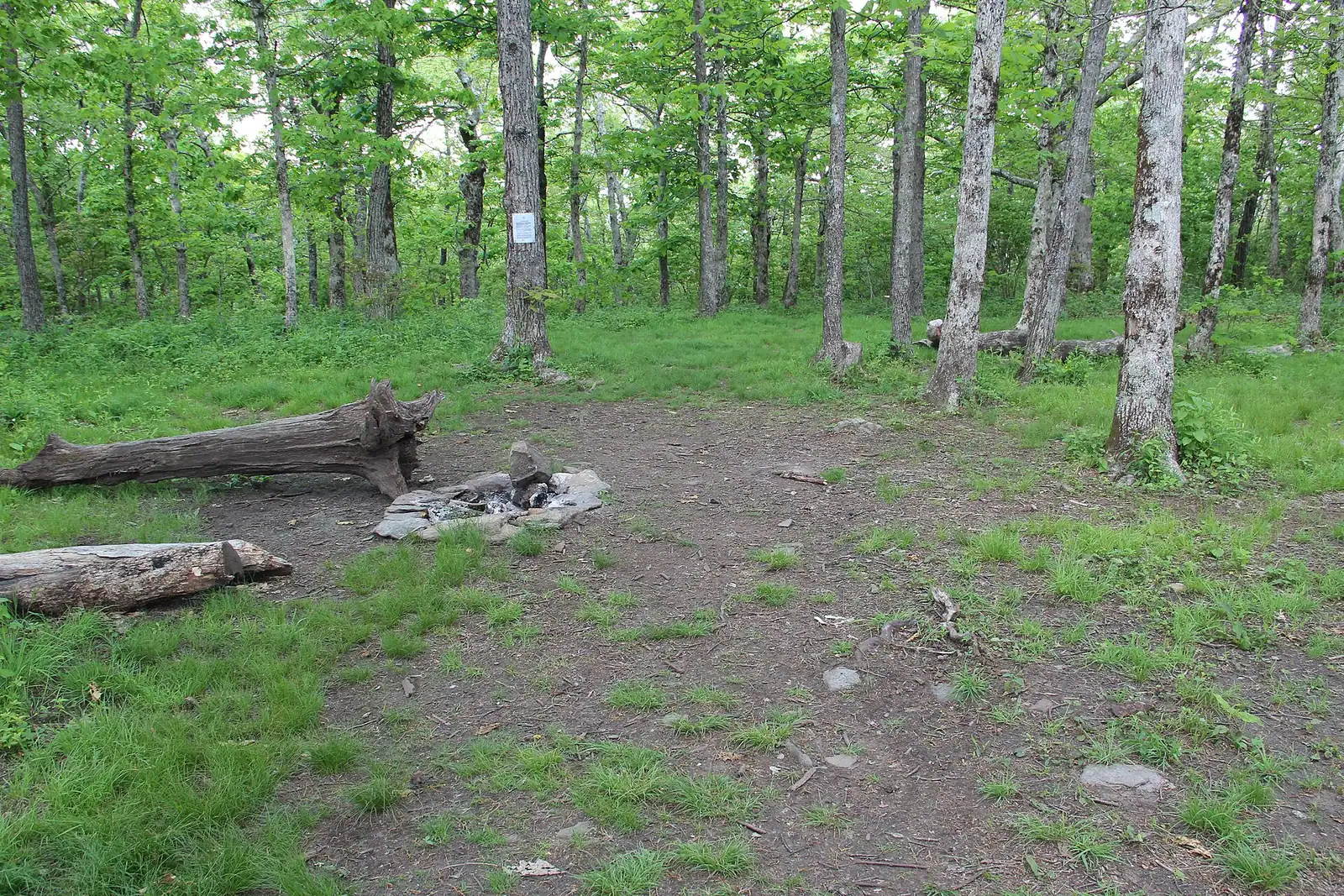
The Appalachian Trail's first white blaze sits at 3,770 feet, about an hour of mountain road from a Blue Ridge cabin.
1.5–7 hoursFree. No entry fee, no parking charge, no facilities.7.8 mi away
Photograph: Thomson20192
Trail
Last updated
The quieter long trail: 300 miles from Springer Mountain to the Smokies, and the one that actually runs through Fannin County.
Photo: UnsplashUnsplash License
Two long-distance trails begin on Springer Mountain. Nearly everybody has heard of one of them.
The Appalachian Trail starts at the summit and heads north-east out of Georgia fairly directly. The Benton MacKaye Trail starts a few minutes north of the same summit and takes a much wider, wilder line west and north through the Cohuttas and the Smokies, covering close to 300 miles to Big Creek in Great Smoky Mountains National Park. Just under 82 of those miles are in Georgia.
For anyone staying near Blue Ridge, the BMT is the more relevant of the two, because it is the trail that goes past you. It crosses the Toccoa River on the swinging bridge. It runs above Fall Branch Falls. It connects through the Stanley Gap side of the Aska network. Several of the best short walks in Fannin County are, without most walkers realising it, sections of a three-hundred-mile footpath.
Telling the two apart on the ground is easy once you know. The Appalachian Trail is blazed with a white vertical rectangle. The Benton MacKaye is blazed with a white diamond, about five inches by seven. Near Three Forks the two share the same tread for a stretch and you walk under both, which is a genuinely pleasing thing to notice.
The trail is the work of volunteers. The Benton MacKaye Trail Association organised in 1979 and the completed route opened in July 2005, a quarter of a century of Saturdays with a chainsaw. It is named for the forester who proposed the Appalachian Trail in 1921 and then watched it become something busier than he had in mind.
Which is roughly the point of this one.
There is no single trailhead, because this is a footpath rather than a site. The three access points most Blue Ridge visitors use are the roadside pull-in above Fall Branch Falls in the Aska country, Deep Hole Recreation Area on GA-60 for the riverside section to the swinging bridge, and the Forest Service Road 42 parking area for Springer Mountain.
Aska and the Fall Branch pull-in are reached on paved but narrow roads, 20 to 30 minutes from town. Deep Hole is paved to the door on GA-60, around 40 minutes. Springer is an hour, and the last stretch is gravel that a low car will feel.
Signal is absent across most of this country. Download maps before leaving pavement, and carry a paper backup for anything longer than an hour.
The Benton MacKaye Trail Association maintains the route with volunteers and publishes current conditions, closures and reroutes. Check with them rather than with a mapping app.
You do not need to commit to a section hike. Three day options cover most of what a visitor wants.
The short one: Fall Branch Falls. A few hundred yards from a roadside pull-in in the Aska country down to a waterfall viewing platform, steeply. Half an hour if you turn round, an afternoon if you keep climbing towards Stanley Gap. This is the version that works with children.
The river one: Deep Hole to the swinging bridge. From the recreation area on GA-60, the BMT follows the Toccoa upstream for roughly two and a half miles to the suspension footbridge. Five miles round trip, almost no sustained climbing, and the most riverside walking available in the county. This is the one to do if you only do one.
The terminus one: Springer Mountain. Drive up to the Forest Service Road 42 parking area, walk south on the Appalachian Trail to the summit and the bronze plaque, then pick up the BMT's own trailhead a short distance north of the top. Short in distance, long in significance, and the drive is gravel.
All three are free, none has facilities, and all three involve unpaved road at some point.
The single most useful thing to know on the ground.
Carry a paper map or an offline one. Blazing on the BMT is good but the junctions do not carry mileages, signal is absent across most of this country, and a wrong turn on a ridge in the Cohuttas is a long way from being a small mistake.
Do not rely on other walkers. On the BMT there often are not any.
The Benton MacKaye carries a fraction of the traffic of the Appalachian Trail, which is most of its appeal and all of its risk.
The appeal is straightforward. In March, while a few thousand people a year start north from Springer on the AT, you can walk a full day on the BMT and meet nobody. The corridor is wilder, the reroutes are fewer, and several sections go through country that sees almost no recreational use at all.
The cost is that nothing is set up for you. There is no network of shelters at predictable spacing in the way the AT has. There are fewer road crossings, which means fewer bail-out points. Water sources are creeks rather than piped springs. Blowdowns after a storm may sit across the trail for weeks, because the people who clear them are volunteers with jobs.
Practically, for a day walker out of a cabin, that means three things. Tell somebody your route and your expected return. Carry more water than the distance suggests, and a way to treat more. And turn round earlier than you think you need to, because the walk back on an unfamiliar trail in fading light is slower than the walk out.
The Benton MacKaye Trail Association publishes current conditions and maintains the route. They are the source worth checking.
Spring, from late March into May, is the best walking. Water is high, wildflowers come through the leaf litter, the temperature at altitude is ideal, and the canopy has not yet closed.
Summer is green and enclosed, with high humidity and afternoon thunderstorms that build fast over these ridges. Start early, be off exposed ground by mid-afternoon, and expect the views to be gone behind leaves anyway.
Autumn brings the colour and, on the accessible sections near Blue Ridge, the crowd. Expect the turn somewhere in the back half of October up here, running into the opening days of November in a warm year and finishing early in a cold one. No fixed date is reliable. It is also hunting season across this national forest, so blaze orange is not optional.
Winter is underrated. Leaves down means views the rest of the year does not offer, the trail is empty even by BMT standards, and the temperature suits climbing. Against that: short days, ice on north-facing sections, and forest roads that may be gated or impassable.
Ticks are present from spring through autumn and this is a trail with a lot of brush against your legs. Check afterwards, properly.
Straight-line distances, so allow more on the road — the island is long and has one main parkway.
The Appalachian Trail's first white blaze sits at 3,770 feet, about an hour of mountain road from a Blue Ridge cabin.
1.5–7 hoursFree. No entry fee, no parking charge, no facilities.7.8 mi away
Photograph: Thomson20192
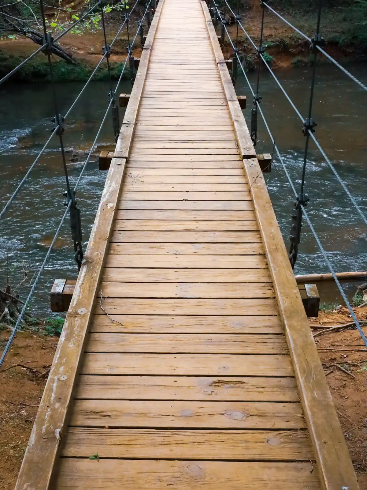
A cable footbridge that genuinely sways, hung over the Toccoa on the Benton MacKaye Trail, at the end of a gravel forest road.
0.5–4 hoursFree. No fee, no gate, no facilities.0 ft away
Photograph: Unsplash
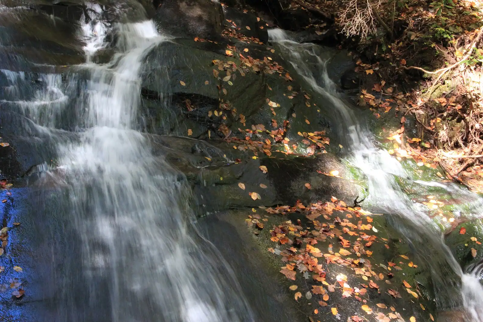
The closest real waterfall to a Blue Ridge cabin: a few hundred yards down the Benton MacKaye Trail, all of it downhill on the way in.
0.5–1.5 hoursFree. No fee, no facilities, and very limited verge parking.8.6 mi away
Photograph: Thomson20192

A broad, stepped falls a few minutes off the Appalachian Trail, reached by a forest road that does most of the work of keeping it quiet.
2–4 hoursFree. No fee, no facilities, no waste collection.4.8 mi away
Photograph: Frances Long Taylor
Where this place fits into a day, and the pages that plan one.
Almost nobody comes to Blue Ridge and stays in a hotel. They rent a cabin, usually for two or three nights, usually up a slope somewhere off a…
Photograph: Unsplash
Fannin County does not have many attractions in the sense a city has attractions. It has one excursion railway, one very large apple farm, one…
Photograph: Unsplash
Autumn is the reason Fannin County has a visitor economy of the size it has. It is also the season most often mistimed, because people book it…
Photograph: Unsplash
Fannin County holds something in the region of 106,000 acres of the Chattahoochee National Forest, roughly three hundred miles of trail and a…
Photograph: Unsplash
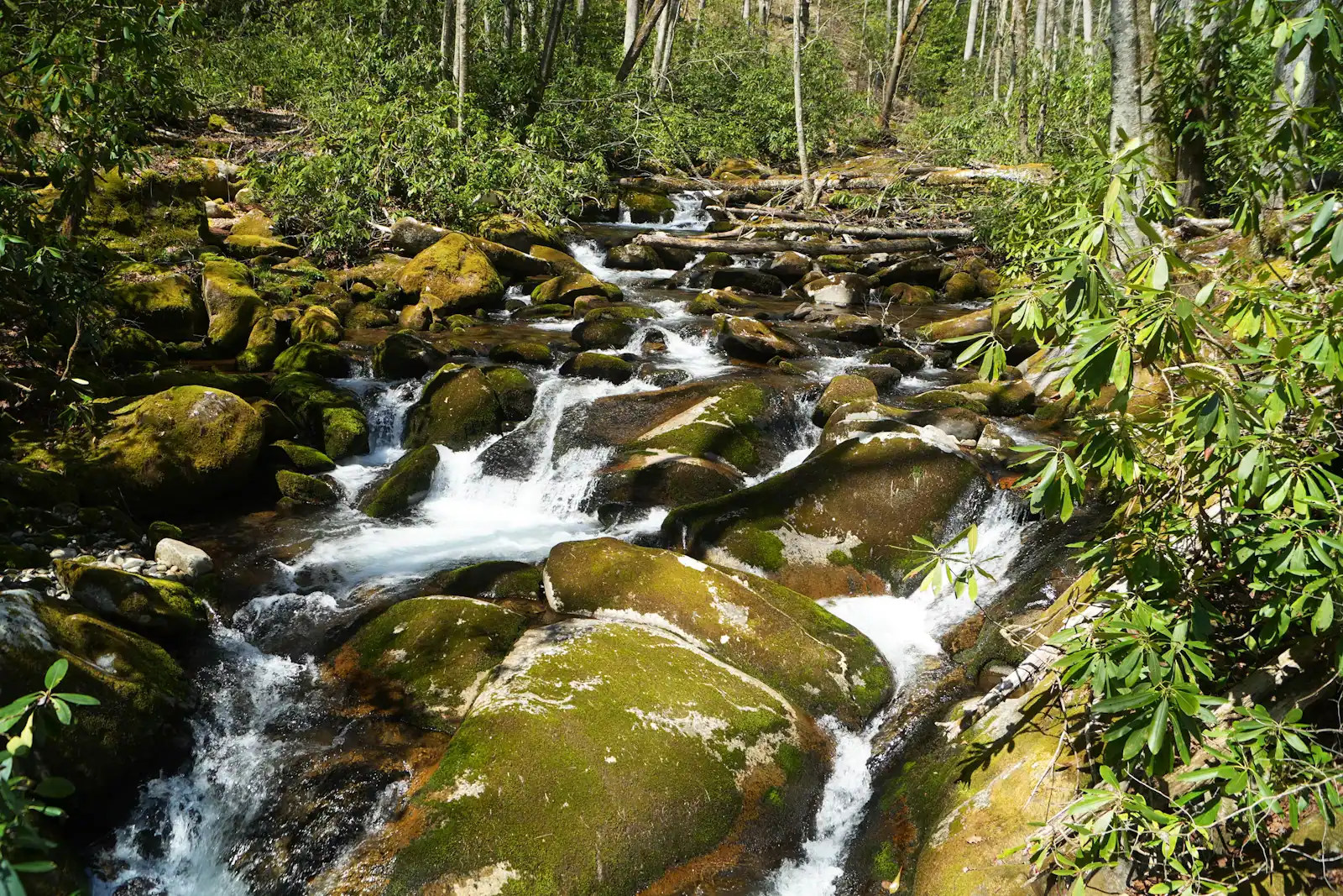
Once the cabin is paid for, Fannin County is close to free, and that is not a budget-travel writer's spin. It is a consequence of what the place is…
Photograph: Unsplash
Colour here is a function of height, not of the calendar. The county spans about 2,300 feet of elevation and the change comes downhill over roughly three weeks.
7 min readWyatt Ledford
Photograph: Unsplash
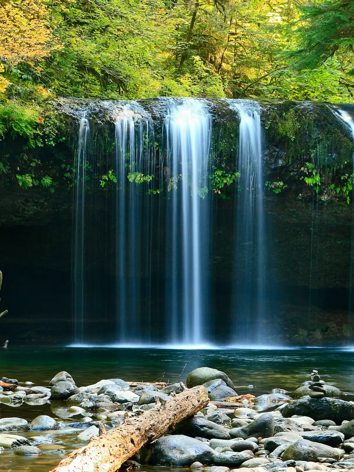
The walks are short. The gravel roads that reach them are not, and that is what actually decides your afternoon. What each waterfall is really like, and how to get there.
6 min readWyatt Ledford
Photograph: Unsplash
A footpath of nearly 300 miles running from Springer Mountain in Georgia to Big Creek in Great Smoky Mountains National Park, with just under 82 of those miles in Georgia. It was built and is maintained by volunteers of the Benton MacKaye Trail Association, organised in 1979, and the complete route opened in July 2005. It is named for the forester who first proposed the Appalachian Trail in 1921.
Both begin on Springer Mountain, the Appalachian Trail at the summit and the Benton MacKaye a few minutes north of it, and then they take completely different lines. The AT heads north-east out of Georgia; the BMT swings west and north through wilder, quieter country. The BMT carries a fraction of the traffic, has fewer shelters and fewer road crossings, and is blazed with a white diamond rather than a white rectangle.
Several of the best short walks in Fannin County are sections of it without most walkers realising. The trail crosses the Toccoa River on the swinging bridge, runs above Fall Branch Falls in the Aska country, shares tread with the Appalachian Trail near Three Forks above Long Creek Falls, and connects through towards the Stanley Gap side of the Aska network. Deep Hole on GA-60 is the easiest riverside access.
No, and this is the most common confusion in north Georgia. The 8.5-mile Approach Trail runs from the Amicalola Falls State Park visitor centre up to Springer Mountain and is blazed blue. The Appalachian Trail itself begins at the summit. Walking the approach gets you to the start; it is not itself a section of the AT. The Benton MacKaye Trail is a third path again, starting just north of the same summit.
It is as safe as any southern Appalachian trail, with one important difference: there is often nobody else on it. That means no passing walker to help if you turn an ankle, no reliable mobile signal, few road crossings to bail out at, and creeks rather than piped springs for water. Tell somebody your route and return time, carry more water than the distance suggests, and turn round earlier than you think you need to.