
Trail
Springer Mountain
Free
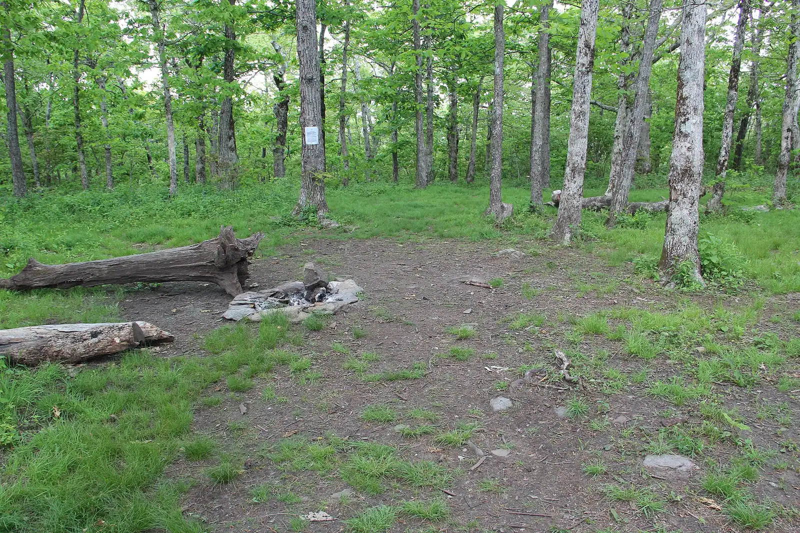
The Appalachian Trail's first white blaze sits at 3,770 feet, about an hour of mountain road from a Blue Ridge cabin.
1.5–7 hoursFree. No entry fee, no parking charge, no facilities.3.1 mi away
Photograph: Thomson20192
Water feature
Last updated
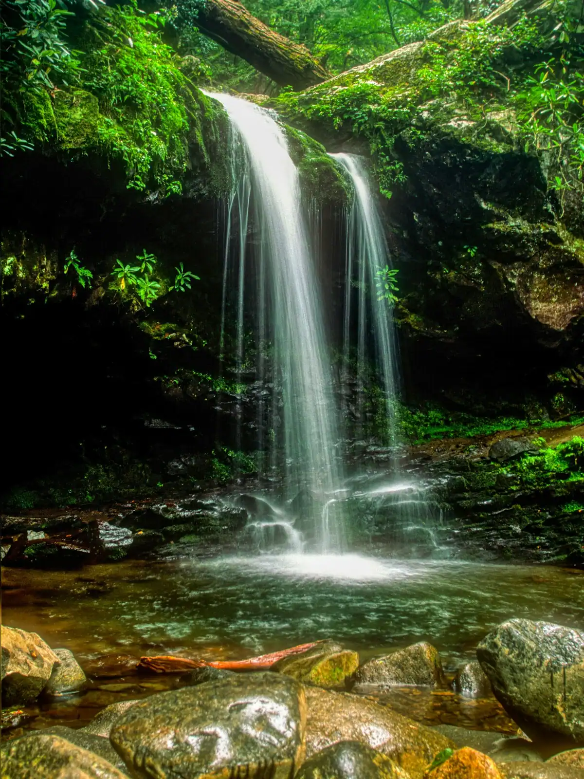
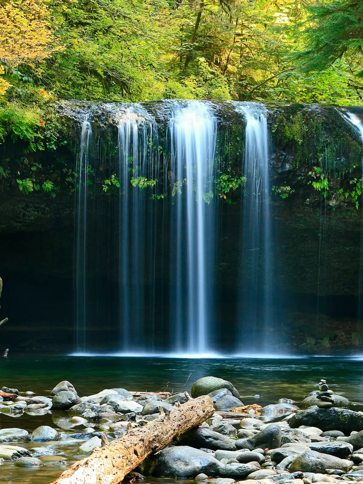
A broad, stepped falls a few minutes off the Appalachian Trail, reached by a forest road that does most of the work of keeping it quiet.
Photo: Frances Long TaylorPublic domain
This is the waterfall you walk to on the Appalachian Trail, which is a more interesting sentence than the falls themselves strictly deserve and is also the reason to go.
Long Creek Falls sits on a short marked spur off the trail near Three Forks, the point where Long Creek, Stover Creek and Chester Creek come together to form Noontootla Creek. For a stretch either side of that junction, the Appalachian Trail and the Benton MacKaye Trail share the same tread, so you walk under both a white rectangle and a white diamond at once. They part company a little further north. Standing at that junction with two of the great long-distance trails in the eastern United States underfoot is worth as much as the water.
The falls themselves are a broad, stepped drop through hemlock and rhododendron into a pool that is cold in August and very cold in April. There is a flat area at the base where people eat lunch. It is not a tall waterfall and nobody should drive two hours from Atlanta for it in isolation.
What makes it a good half day is the walk and the company. This stretch of the Appalachian Trail is roughly two and a half miles north of Springer Mountain, which means that from March into May you will pass northbound thru-hikers on their first or second day of a five-month walk. They are unfailingly willing to talk and are still clean.
The drive is the difficulty. Forest Service Road 58 and the roads that feed it are gravel, rough in places and genuinely unpleasant after sustained rain. That road is why a waterfall this accessible on foot is not overrun.
South from Blue Ridge towards the Doublehead Gap road network, then onto Forest Service Road 58, which is gravel for the remainder. Allow an hour rather than the forty minutes a mapping app quotes, because the last section is a genuine ten to fifteen miles an hour.
Park in the informal verge pull-ins near the Appalachian Trail crossing. They are small and fill on spring weekends. Do not block the road or any forestry gate.
Signal disappears well before the pull-in, so load the route and screenshot the map before you leave pavement. The forest road network south of here has many unsigned junctions that look identical on the ground.
A standard car gets in during dry weather. After a wet fortnight, a low hire car will struggle and you should reconsider. Check current road status with the Blue Ridge Ranger District if the weather has been bad.
From the pull-in on the forest road, you drop onto the Appalachian Trail and walk north. Within a few minutes you are at Three Forks, where the creeks meet and the trail crosses on a footbridge. The sound changes here; three streams converging in a bowl of hemlock is loud in a way a single creek is not.
From Three Forks the path climbs gently alongside Long Creek for about a mile through rhododendron that closes overhead in places. The grade is easy by the standards of this forest. The tread is rooty and holds water in spring.
A signed spur leaves the main trail to the right and drops a short distance to the base of the falls. It is obvious. People miss it anyway, usually because they are talking.
Coming back, look for the point where the white diamond blazes of the Benton MacKaye leave the white rectangles of the Appalachian Trail. That divergence is easy to walk past and is the single most interesting piece of trail furniture on this route.
Allow two to three hours for the round trip at a looking pace, longer if you sit at the falls, which you should.
Everything difficult about Long Creek Falls happens before you get out of the car.
The approach runs off the Doublehead Gap road network onto Forest Service Road 58, which is gravel. Expect washboard, exposed rock, water bars laid across the surface, and ruts that deepen through a wet winter. Ten to fifteen miles an hour is the realistic speed, and the last stretch can be worse than the first.
A standard car manages it in dry conditions. A low, fully loaded hire car after a wet fortnight will not enjoy it and may not make it. High clearance is not required but it is a considerable comfort.
Mobile signal goes well before the road does. Load your route before you leave pavement and take a screenshot of the map, because live rerouting is not available and the forest road network has a lot of unsigned junctions that look identical.
Parking is informal pull-ins on the verge. They fill on spring weekends when thru-hiker season and day-hiker season overlap. Do not block the road or a gate; this is a working forest with logging and fire access.
Allow an hour from Blue Ridge, not the forty minutes a mapping app suggests.
From late February through May, this stretch of the Appalachian Trail carries the northbound thru-hiker start, and Long Creek Falls is roughly two and a half miles into their year. You will meet them.
A few things that make you a good person to meet.
If you want the falls without the traffic, come in September or October. The southbound season is a fraction of the northbound one and the forest is at its best.
The pool at the base is shallow, rocky and deeply tempting on a hot day. People do get in.
Two honest warnings. First, this is a mountain creek in shade under hemlock, fed from higher ground, and it does not warm up the way a lake does. In April it is cold enough to take your breath, and in August it is still cold. Cold water shock is a real thing and the nearest help is an hour of gravel road away.
Second, the rocks around a stepped falls are slick with algae and there is no grip on wet stone. Almost every incident at a Georgia waterfall involves somebody climbing a wet rock face rather than somebody in the water. Do not climb the falls. Do not stand at the lip. People die doing this in the Southeast most years, and they are almost never doing anything they thought was risky.
There is no lifeguard, no ranger, no phone signal and no quick evacuation from here.
Beyond that: take everything out, do not build cairns, do not wash anything with soap in the creek, and leave the pool as you found it. This is national forest with no waste collection at either end of the walk.
Straight-line distances, so allow more on the road — the island is long and has one main parkway.
The Appalachian Trail's first white blaze sits at 3,770 feet, about an hour of mountain road from a Blue Ridge cabin.
1.5–7 hoursFree. No entry fee, no parking charge, no facilities.3.1 mi away
Photograph: Thomson20192
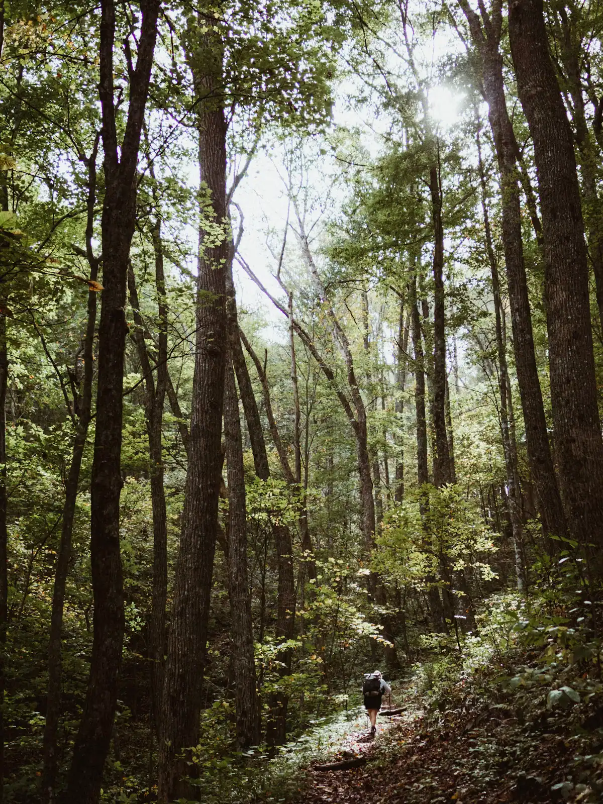
The quieter long trail: 300 miles from Springer Mountain to the Smokies, and the one that actually runs through Fannin County.
1–8 hoursFree. No permit required for day walking, no facilities on the trail.4.8 mi away
Photograph: Unsplash
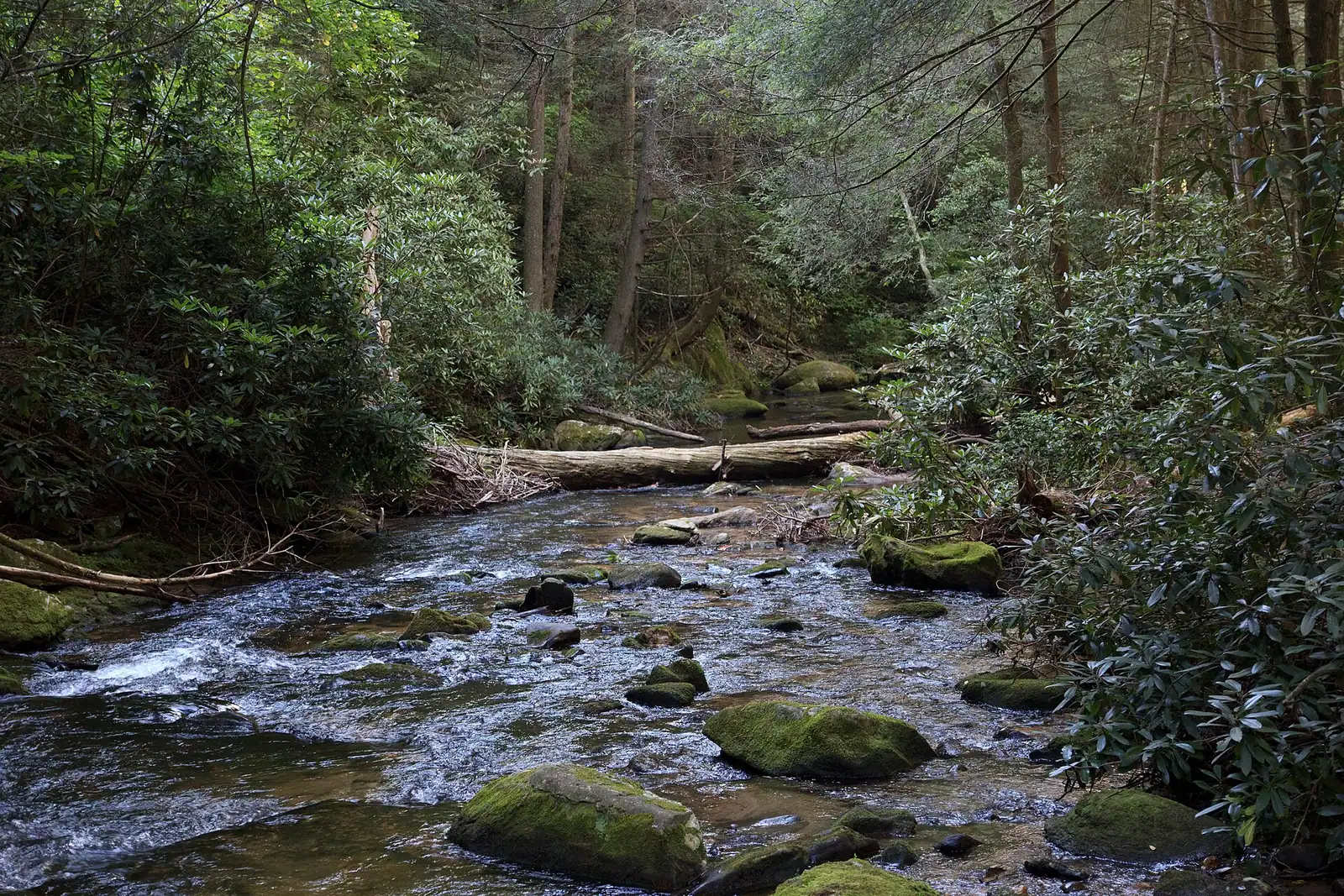
Georgia's best-known wild trout creek, where the 16-inch size limit means almost everything you catch goes back.
3–8 hoursFree to access. A Georgia fishing licence and trout licence are required to fish.1.7 mi away
Photograph: Scott Long
Around 106,000 acres of public land in Fannin County alone, almost none of it signposted, gated or supervised in the way visitors expect.
2–8 hoursFree to enter. Developed campgrounds and some day-use areas charge a fee.8.2 mi away
Photograph: USFWS
Where this place fits into a day, and the pages that plan one.
Almost nobody comes to Blue Ridge and stays in a hotel. They rent a cabin, usually for two or three nights, usually up a slope somewhere off a…
Photograph: Unsplash
Fannin County does not have many attractions in the sense a city has attractions. It has one excursion railway, one very large apple farm, one…
Photograph: Unsplash
Fannin County holds something in the region of 106,000 acres of the Chattahoochee National Forest, roughly three hundred miles of trail and a…
Photograph: Unsplash
Once the cabin is paid for, Fannin County is close to free, and that is not a budget-travel writer's spin. It is a consequence of what the place is…
Photograph: Unsplash
Nearly everything free in Fannin County is free at the point of use and costs you a tank of fuel and forty minutes of gravel. Here is what is worth that trade.
6 min readWyatt Ledford
Photograph: Unsplash
The walks are short. The gravel roads that reach them are not, and that is what actually decides your afternoon. What each waterfall is really like, and how to get there.
6 min readWyatt Ledford
Photograph: Unsplash
Roughly a mile each way on foot from the Appalachian Trail crossing on Forest Service Road 58, via Three Forks and then a short signed spur down to the base. The grade is easy by the standards of this forest and the tread is rooty. Allow two to three hours for the round trip at a looking pace. The genuine difficulty of this outing is the gravel road drive in, not the walk.
It is a short signed spur off it. More interestingly, this stretch is one of the sections where the Appalachian Trail and the Benton MacKaye Trail share the same tread, so you walk under both a white rectangle blaze and a white diamond at once before they separate further north. Springer Mountain, the southern terminus of both trails, lies about two and a half miles south along the Appalachian Trail.
Not to the falls. You drive to a verge pull-in on Forest Service Road 58 and walk from there. The road is gravel with washboard, exposed rock and water bars, and it is realistically a ten to fifteen mile an hour proposition. A standard car manages in dry weather; a low, loaded hire car after a wet fortnight will not enjoy it. Allow an hour from Blue Ridge rather than the forty minutes a map suggests.
People get in the pool at the base, and it is shallow, rocky and extremely cold year-round because it is a shaded mountain creek rather than a lake. The bigger hazard is the rock. Wet stone around a stepped falls has no grip, and the serious incidents at Georgia waterfalls almost all involve somebody climbing rather than swimming. Do not climb the falls or stand at the lip. There is no help within an hour.