Trail
Springer Mountain
Free
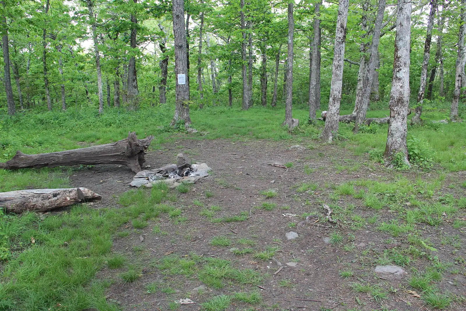
The Appalachian Trail's first white blaze sits at 3,770 feet, about an hour of mountain road from a Blue Ridge cabin.
1.5–7 hoursFree. No entry fee, no parking charge, no facilities.3.6 mi away
Photograph: Thomson20192
Water feature
Last updated
Georgia's best-known wild trout creek, where the 16-inch size limit means almost everything you catch goes back.
Photo: Scott LongCC BY 3.0
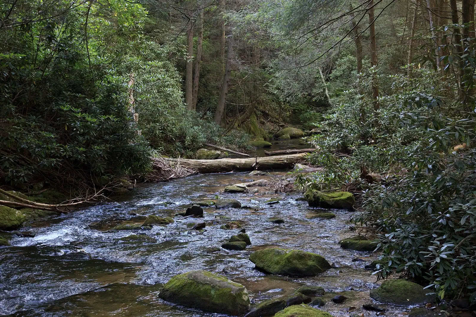
Noontootla Creek runs off the Springer Mountain massif and down through the Blue Ridge Wildlife Management Area to join the Toccoa, and among Georgia anglers it carries a reputation out of all proportion to its size. You can step across parts of it. It is also one of the very few streams in the state managed specifically as a wild trout fishery rather than as a put-and-take stocked stream.
The regulation is the whole story. Noontootla and its tributaries are artificial lures only, and they carry a sixteen-inch minimum size limit. A wild brown or rainbow in a creek this size is typically six to nine inches; a really good one is eleven. Almost nobody ever catches a legal fish. The rule was written to protect the wild population, and its practical effect is a catch-and-release fishery that nobody had to call one.
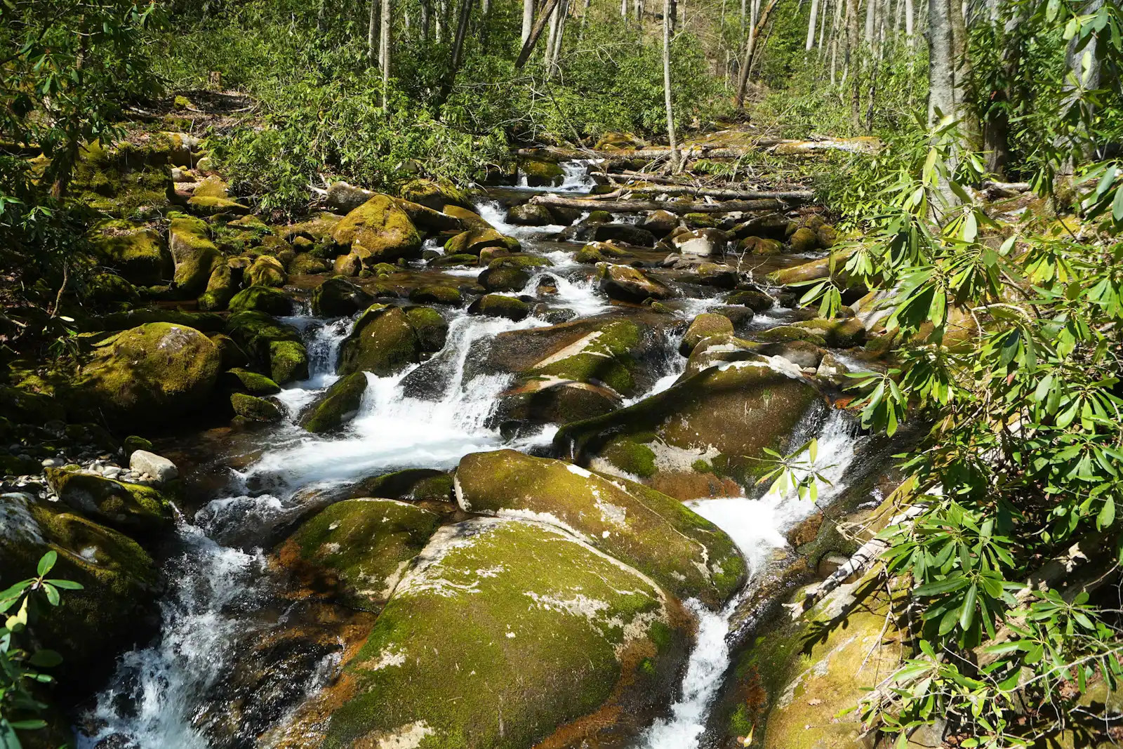
What that produces is a stream full of small, genuinely wild, genuinely difficult fish in clear water under a rhododendron tunnel. They are not stocked hatchery trout waiting under a bridge. They see you coming, they hold in pocket water behind boulders, and a heavy footfall clears a pool for twenty minutes. Short casts, fine tippet and slow movement are the currency here.
It also runs through some of the least developed country in north Georgia. The upper creek is reached off the forest road network near Three Forks, where the Appalachian Trail and the Benton MacKaye Trail run together, and it is entirely possible to fish a morning here and see nobody.
Lower down, sections of frontage are private and posted. Do not assume that because the water is famous the bank is public.
Head south from Blue Ridge on Aska Road and across to Doublehead Gap Road, then onto the Forest Service road network in the Blue Ridge Wildlife Management Area. Allow about an hour, with the last stretch on gravel.
Parking is informal pull-offs beside the forest road rather than a car park. Do not block a gate or a turning point; these roads are working forest access.
There is no signal in the valley, no fuel and nowhere to buy a licence once you leave town. Sort tackle, licence and route before you go.
Seasonal gate closures and storm damage both affect this road network. Check current forest alerts, and have a second plan.
Two rules apply to Noontootla Creek and its tributaries, and the Georgia Department of Natural Resources is clear about both: artificial lures only, and a sixteen-inch minimum size limit on trout.
Artificial lures only means no bait. Not corn, not worms, not salmon eggs, not scented soft plastics. Fly tackle and hardware both qualify; a jar of anything does not.
The sixteen-inch limit is the interesting one. On a creek where a mature wild brown might reach ten or eleven inches, a sixteen-inch fish is close to hypothetical. The rule therefore functions as catch and release without being written as such, and that was the point: protect a self-sustaining wild population in a state where most trout water is stocked.
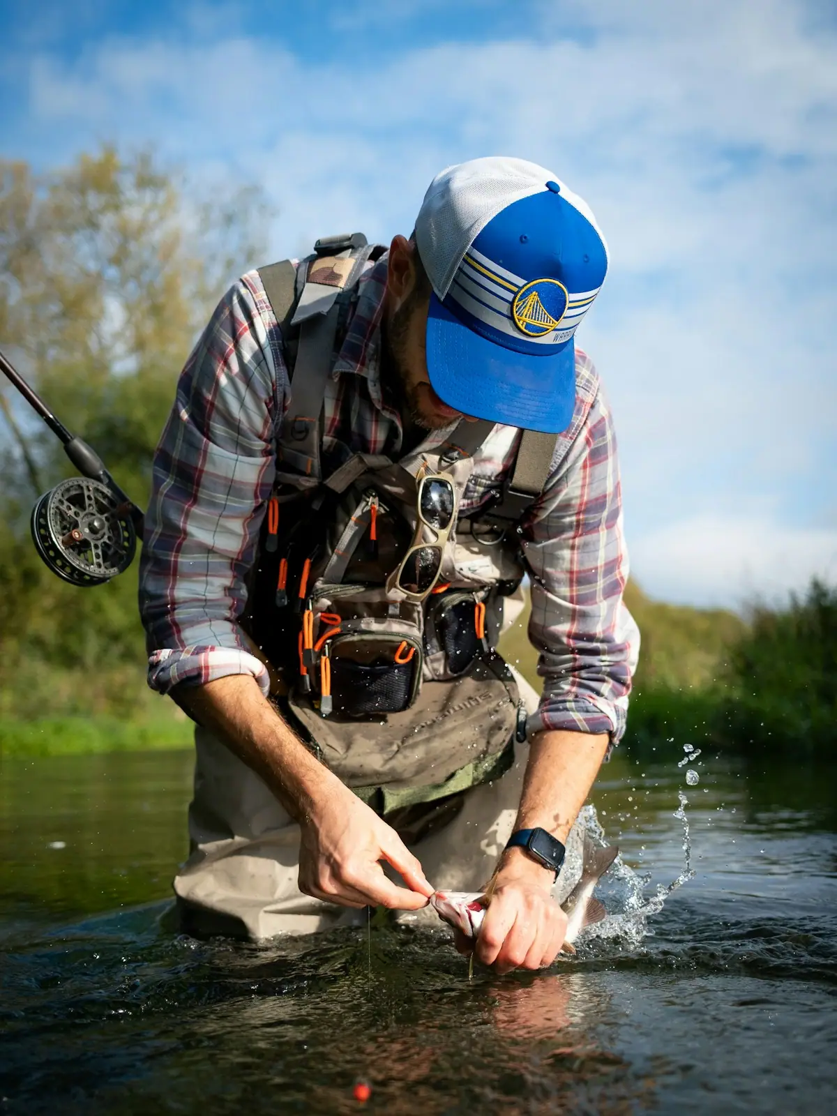
Handle accordingly. Barbless or crimped hooks, wet hands, fish kept in the water, and no photographs that involve holding a small trout in the air for a minute while somebody finds the camera.
You need a Georgia fishing licence and a trout licence. Buy them before you drive out; there is no signal at the creek and no shop within twenty minutes.
This is small water fished close. Expect pocket water, plunge pools, undercut banks and a canopy that makes an overhead cast a theoretical exercise in long stretches.
Summer afternoons are the worst time: low, clear, warm water and fish that will not move. Early morning and the last hour of light are worth more than the whole middle of the day.
Wading is a matter of picking your way over rounded cobble in cold water. Felt or studded soles, and a stick if your balance is not what it was.
The upper creek is reached from the Forest Service road network on the Doublehead Gap side, the same country that leads towards Springer Mountain and the Three Forks junction where the Appalachian Trail and the Benton MacKaye Trail share ground. That means gravel, single lane in places, and an hour or so from Blue Ridge.
Within the Blue Ridge Wildlife Management Area the water is public, but the WMA carries its own rules and its own hunting calendar. Between October and January, wear orange if you are walking the banks, and check whether a managed hunt is running.
Lower down, the creek crosses private ground, some of it posted and some of it commercially fished. The public water and the private water are not the same thing and the distinction is taken seriously here. If it is signed, it is not yours to fish.
Forest roads in this part of the county close seasonally and after storm damage. Check the Chattahoochee National Forest's current alerts before setting off, and be prepared to fish somewhere else.
Take everything out with you, including spent tippet. Monofilament is the most common litter on wild trout streams and the most damaging.
Straight-line distances, so allow more on the road — the island is long and has one main parkway.
The Appalachian Trail's first white blaze sits at 3,770 feet, about an hour of mountain road from a Blue Ridge cabin.
1.5–7 hoursFree. No entry fee, no parking charge, no facilities.3.6 mi away
Photograph: Thomson20192
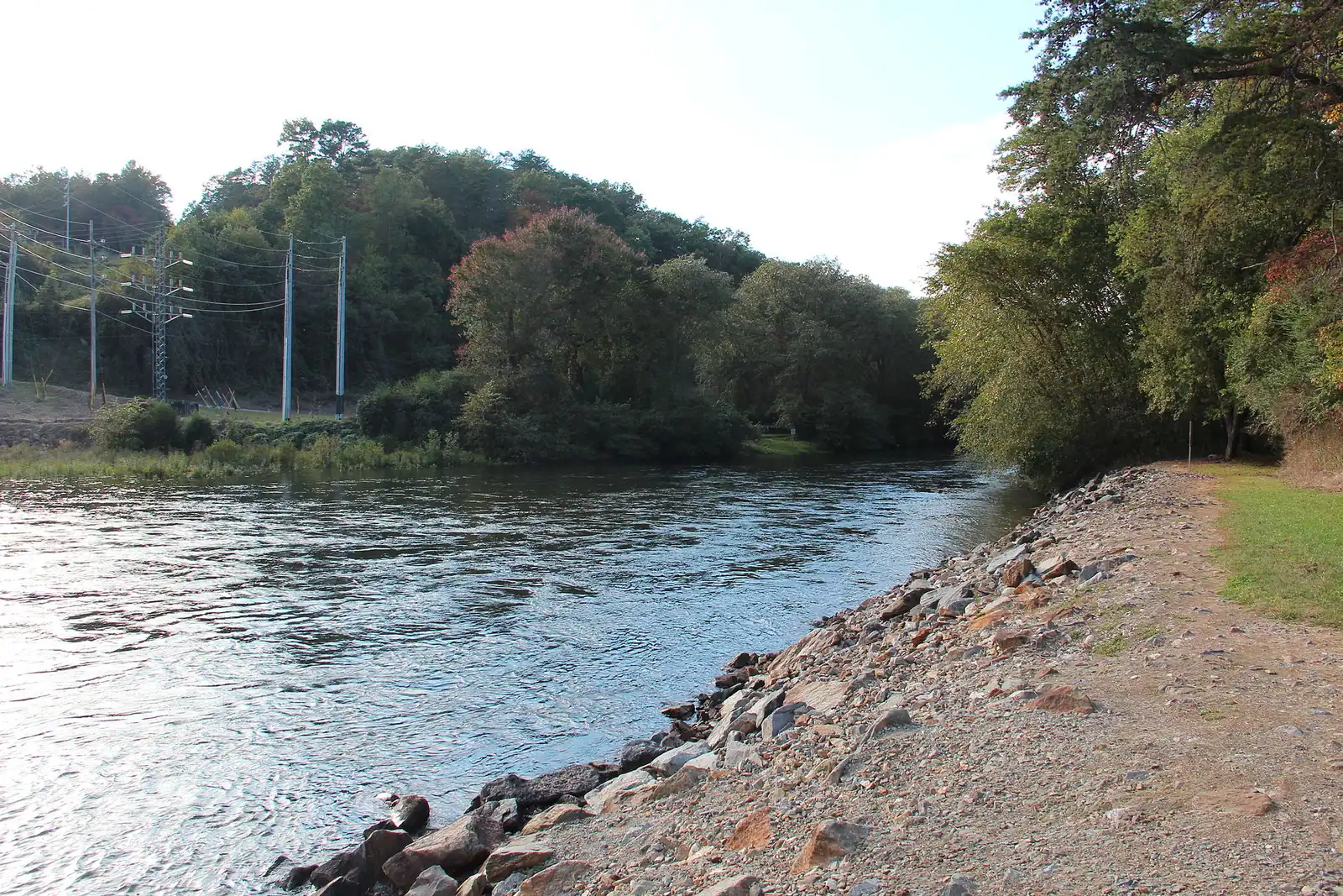
One river, two personalities: a lazy summer float above the lake, and a cold tailwater below the dam that fishes all year.
2–7 hoursFree to access. Forest Service recreation areas charge a day-use parking fee, and rentals and shuttles are extra.7.8 mi away
Photograph: Thomson200
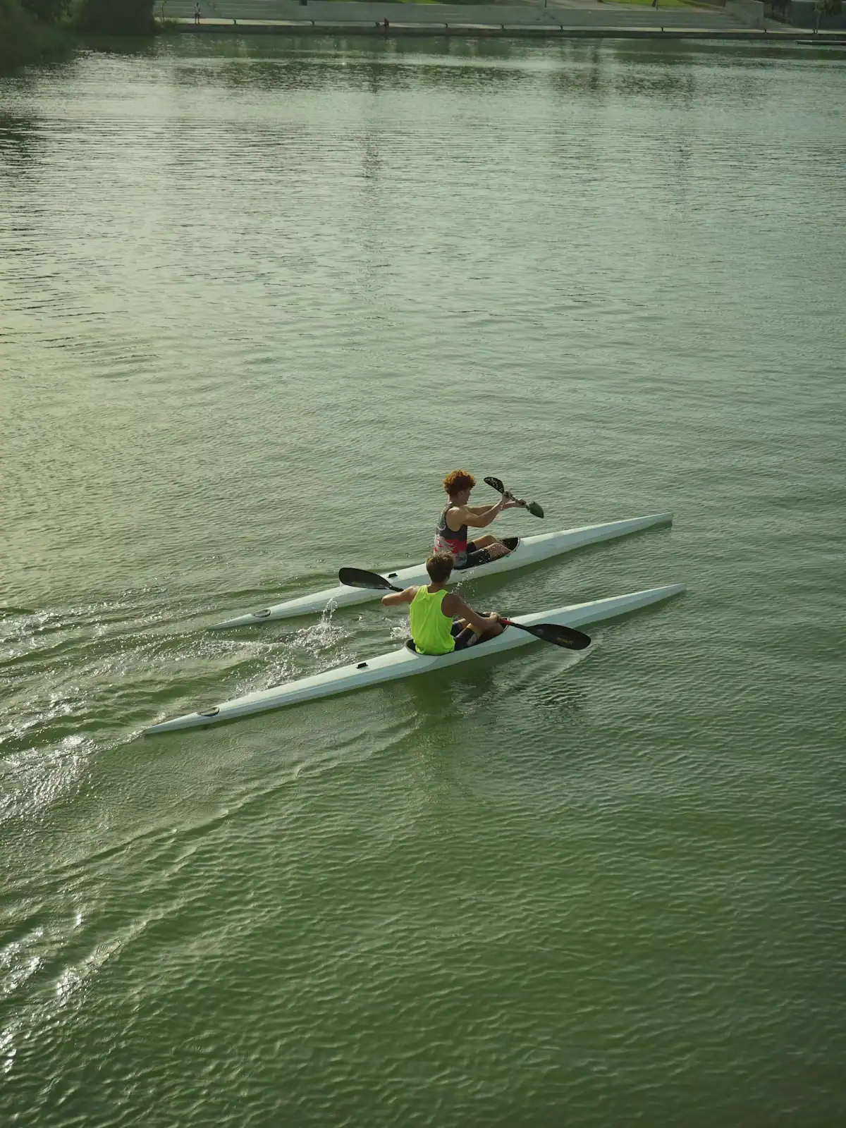
The Forest Service put-in at the head of a 13.8-mile river trail, forty minutes up the Toccoa valley from Blue Ridge.
2–8 hoursDay-use parking fee; camping charged per night.5.3 mi away
Photograph: Unsplash
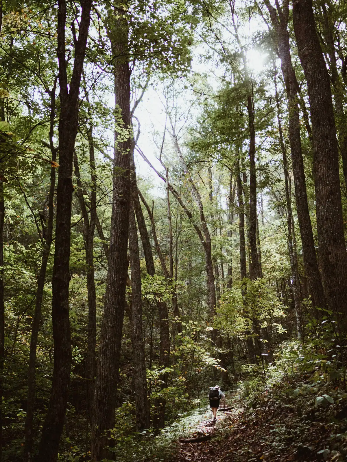
The quieter long trail: 300 miles from Springer Mountain to the Smokies, and the one that actually runs through Fannin County.
1–8 hoursFree. No permit required for day walking, no facilities on the trail.4.3 mi away
Photograph: Unsplash
Where this place fits into a day, and the pages that plan one.
Almost nobody comes to Blue Ridge and stays in a hotel. They rent a cabin, usually for two or three nights, usually up a slope somewhere off a…
Photograph: Unsplash
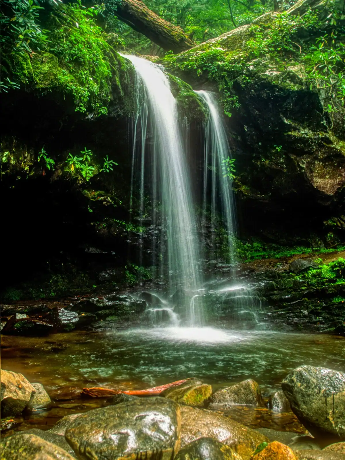
Fannin County holds something in the region of 106,000 acres of the Chattahoochee National Forest, roughly three hundred miles of trail and a…
Photograph: Unsplash
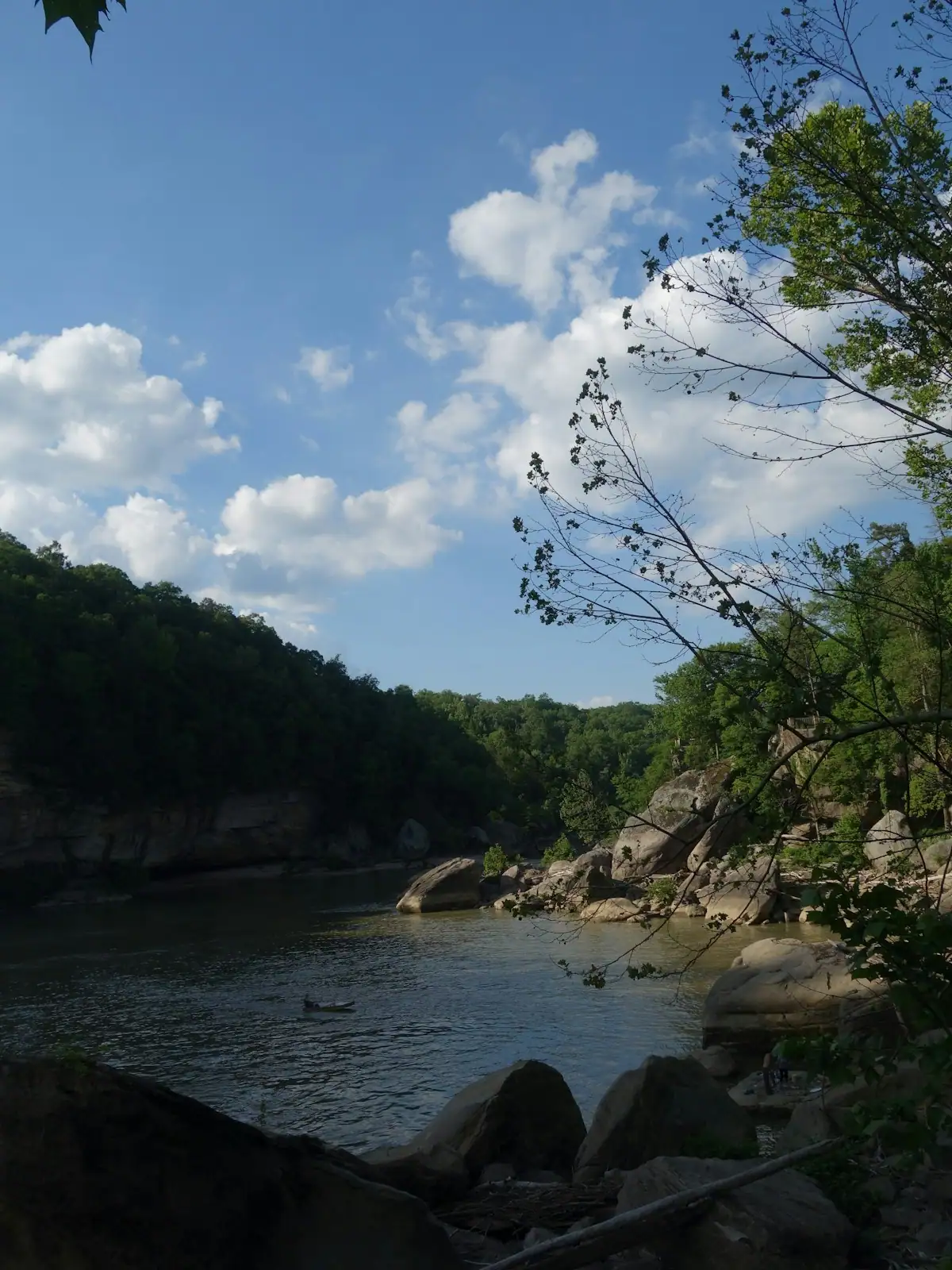
The Toccoa runs the wrong way. Georgia rivers are supposed to head for the Atlantic or the Gulf, and this one starts at about 2,120 feet in Union…
Photograph: Unsplash
Once the cabin is paid for, Fannin County is close to free, and that is not a budget-travel writer's spin. It is a consequence of what the place is…
Photograph: Unsplash
Fannin County advertises about a hundred miles of trout stream, and the number is not marketing. What it undersells is how different those miles are…
Photograph: Unsplash
The walks are short. The gravel roads that reach them are not, and that is what actually decides your afternoon. What each waterfall is really like, and how to get there.
6 min readWyatt Ledford
Photograph: Unsplash
Artificial lures only, and a sixteen-inch minimum size limit on trout, applying to Noontootla Creek and its tributaries. No bait of any kind. Because a mature wild trout in a creek this size is usually six to nine inches, the size limit means almost everything you catch must go back, which is exactly what it was written to achieve. A Georgia fishing licence and a trout licence are both required.
No. Noontootla is managed as a wild trout fishery, with self-sustaining populations of brown and rainbow trout rather than hatchery fish put in for the season. That is unusual in Georgia, where most accessible trout water is stocked from late March through the summer. It is also why the fish are small, wary and difficult, and why the regulations on this creek are stricter than the statewide rules.
Roughly an hour, south on Aska Road and across to Doublehead Gap Road before joining the Forest Service road network in the Blue Ridge Wildlife Management Area. The last stretch is gravel and single-lane in places. Parking is informal pull-offs rather than a car park. There is no signal in the valley, so download your route and buy your licence before you leave town.
No. The upper creek within the Blue Ridge Wildlife Management Area is public water, but lower sections cross private ground, some of it posted and some of it commercially managed. The distinction is taken seriously locally. If a bank is signed, it is not open water. The WMA also runs hunting seasons from autumn into winter, so check before walking the banks and wear orange in that window.