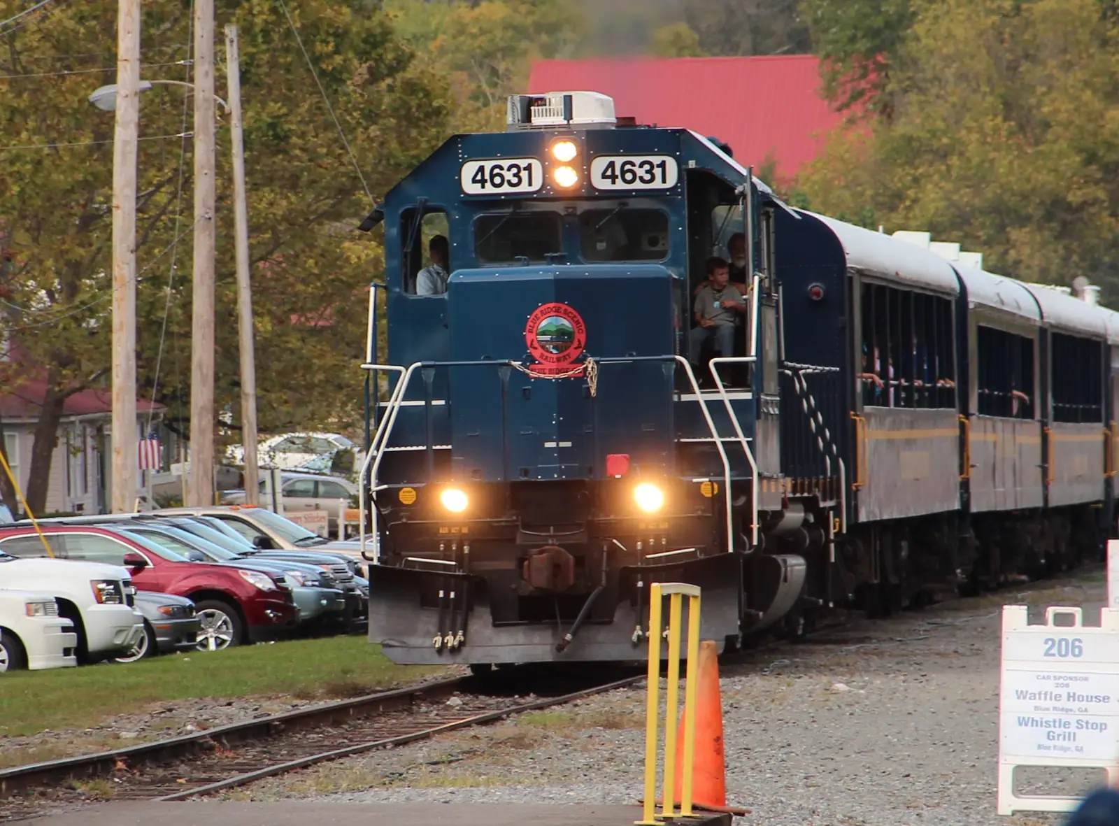
Blue Ridge Scenic Railway
Twenty-six miles of river running to a town cut in half by a state line, in an open-sided coach with the windows down.
2–5 hoursTicketed. Fares vary by coach class, trip length and season.
Photograph: Thomson200
Plan your trip
How to get to and around Blue Ridge, Georgia: the drive from Atlanta, steep cabin driveways, where the phone signal dies and why you need your own car.
UnsplashYou need your own car. That is the whole transport answer for Fannin County, and everything else on this page is detail hanging off it.
There is no public transport a visitor can use, no shuttle between attractions, no circular bus, and no meaningful taxi trade. Rideshare exists in the sense that the app will open, and it cannot be relied on to collect you from a tasting room at nine on a Saturday night or to find a cabin up an unnamed gravel track. Almost every rented cabin in this county sits at the end of a private drive off a county road off a state route, unlit, with a gate code, and often with no mobile signal at the door. Plan on driving yourself everywhere, including home from dinner.
The journey in is the easy part. Blue Ridge is roughly 90 to 95 miles north of Atlanta, and most of the route is GA 515, the four-lane Appalachian Highway, through Jasper and Ellijay before GA 5 carries you the last stretch into town. In normal conditions it is around two hours. Friday evening out of Atlanta and Sunday afternoon back are both considerably slower, and the second half of October adds leaf traffic on top of that.
The hard part is the last mile, and it is where weekends go wrong. Cabin driveways here are frequently steep, unpaved and narrow, with a turning space at the top that assumes you can reverse. Rental agreements sometimes exclude unpaved roads entirely, which nobody reads until afterwards. Satellite navigation is unreliable this deep in the mountains and has a habit of routing people onto forest roads. And the fuel station you were counting on may not be open at ten at night in a county of 25,000 people.
None of this is difficult once you know it. Arrive with a full tank, downloaded maps, the cabin's gate code written on paper and enough daylight to find the place the first time, and Fannin County is one of the easiest destinations in the southern Appalachians to drive. Turn up at eleven at night on an empty tank following a sat-nav into a forest and it is one of the hardest.
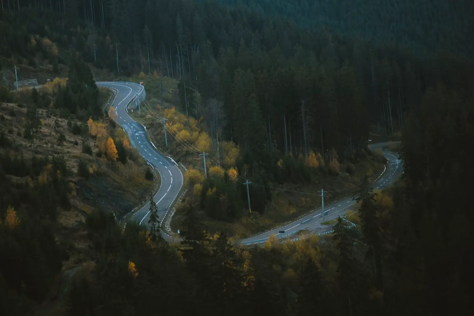
UnsplashFrom Atlanta the route is GA 515, a four-lane highway for almost all of it, through Jasper and Ellijay, then GA 5 into Blue Ridge. About 90 to 95 miles and roughly two hours in normal traffic. It is a genuinely pleasant drive and it gets prettier after Jasper.
Flying in, the two practical airports are Hartsfield-Jackson in Atlanta and Chattanooga, and both are about two hours away by road. Atlanta gives you every route and the worst traffic; Chattanooga gives you a smaller airport and an easier drive, coming down through Tennessee and in via Copperhill and McCaysville. Hire a car at whichever you use. There is no shuttle service worth planning around.
From Chattanooga and the north you come in through the Ocoee corridor on US 64 and drop into the twin towns of Copperhill and McCaysville before the run south on GA 5. That approach is slower and much more scenic than the Atlanta one.
Timing the drive matters more than the route. Leaving Atlanta on a Friday after four o'clock, or heading back on a Sunday afternoon, can add an hour. In leaf season, the last ten miles into Blue Ridge can crawl. Both problems are solved by leaving earlier than feels necessary, and arriving in daylight has a second benefit: you get to see your cabin's driveway before you have to drive it in the dark.
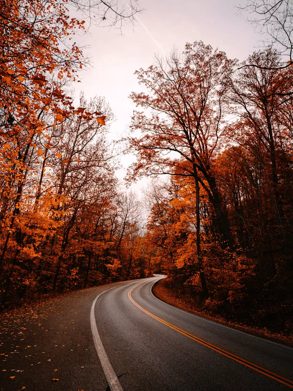
UnsplashThe paved network is small and pleasant. GA 5 runs north from town to the orchard and the state line. GA 515 is the four-lane west toward Ellijay. GA 60 heads south into the forest. And Aska Road, the paved loop south of town between Lake Blue Ridge and the Toccoa, is the prettiest driving in the county and the narrowest, with blind bends and no shoulder.
Things to expect on all of them. Deer at dusk and after, on every road, without exception. Log trucks, which are wide and do not brake quickly. Motorcyclists and sports cars enjoying the curves at weekends. Cyclists on Aska Road. And in leaf season, cars stopping abruptly for photographs.
Forest roads are a different category. Unpaved, unlit, sometimes gated seasonally, and washed out after storms. Forest Service Road 42, the usual approach to Springer Mountain, takes far longer than a map implies and is not somewhere to be in the dark in a hire car. Check current Chattahoochee-Oconee National Forest alerts before committing.
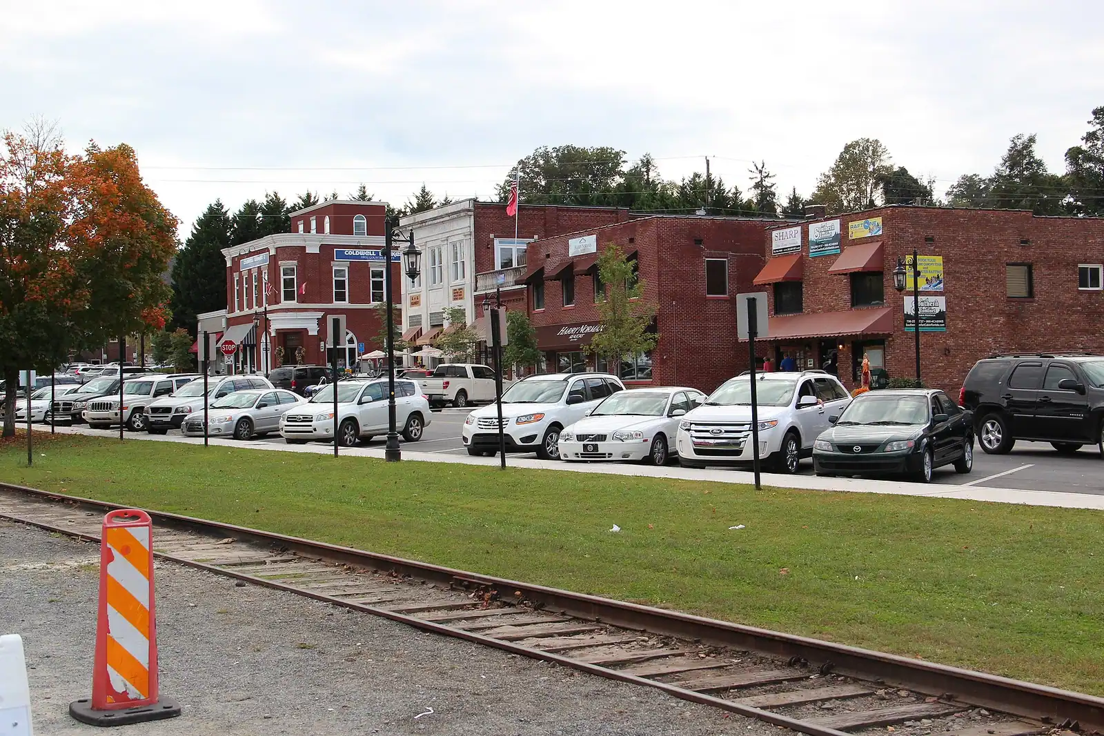
Parking is straightforward. Downtown Blue Ridge has street parking and lots within a short walk of Main Street, busiest on train days and October weekends, with some time-limited spaces. Trailhead parking in the forest is a gravel pull-off, free, and small enough to fill on a fine autumn Saturday. Developed Forest Service recreation areas such as Morganton Point and Deep Hole charge a day-use fee, sometimes via an envelope box rather than a card machine, so carry small notes.
Local tips
Downtown Blue Ridge is walkable and nothing else is. The two blocks of Main Street either side of the depot hold the shops, the galleries and most of the restaurants, and on a fine evening walking it is the nicest thing in town. If you stay within walking distance of the depot you can park the car on Friday and not move it until Sunday, which is a genuinely appealing way to do a weekend here and almost nobody does it.
The railway is the one car-free excursion. Board at the depot, spend four hours being carried to the state line and back, and walk home. If your accommodation is in town, that is a full day without keys.
Everything else requires driving. The lake, the orchard, the trailheads, the swinging bridge, the twin towns by road: all of them are fifteen to forty-five minutes out, on roads with no footway.
On accessibility, be realistic and ask specific questions. The town's pavements are largely flat and the depot area is manageable, but many cabins are reached by steps from a sloping drive and have decks rather than level access. Trails in the national forest are unsurfaced, rooted and often steep, and the walk to most waterfalls here involves a significant descent and a harder climb back. Developed recreation areas at the lake are the most manageable outdoor option. Confirm access details with an individual property or site rather than assuming.
Before you book
This is the single most underestimated thing about renting a cabin in these mountains, and it is worth asking about before you book rather than discovering at eight on a Friday evening.
Steep and unpaved is normal here. A large share of cabins are reached by a private gravel drive with a real gradient on it, sometimes several hundred yards long, sometimes with a switchback. Dry, most cars manage. Wet, a front-wheel-drive saloon with summer tyres and four adults and luggage aboard may not. In ice, it is simply not driveable, and nobody is coming to grit it.
Check your rental agreement. Some hire companies exclude unpaved roads from their cover. It is a clause people only read after a stone has gone through a sump.
Ask the owner three specific questions. How steep is the drive and is it paved. Is there space to turn at the top or do you reverse out. Is it manageable in a standard car in the wet. A good operator answers all three plainly; a vague answer is itself an answer.
Low cars and long overhangs suffer. Water bars and drainage cuts across a gravel drive will find the front of a sports saloon.
Have a fallback. If ice is forecast and you are up a slope, park at the bottom of the drive and walk the last stretch. That is what residents do, and it is far better than the alternative.
On the ground
Every place below has its own page — hours, parking, what it costs and what to expect when you get there.

Twenty-six miles of river running to a town cut in half by a state line, in an open-sided coach with the windows down.
2–5 hoursTicketed. Fares vary by coach class, trip length and season.
Photograph: Thomson200

Four blocks of shopfronts facing a working railway depot, small enough to walk twice and busy enough to need a parking plan in October.
1–4 hoursFree. Street parking is free and scarce on peak weekends.
Photograph: Thomson M

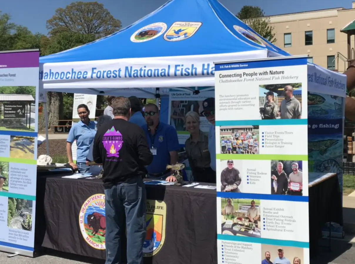
Around 106,000 acres of public land in Fannin County alone, almost none of it signposted, gated or supervised in the way visitors expect.
2–8 hoursFree to enter. Developed campgrounds and some day-use areas charge a fee.
Photograph: USFWS

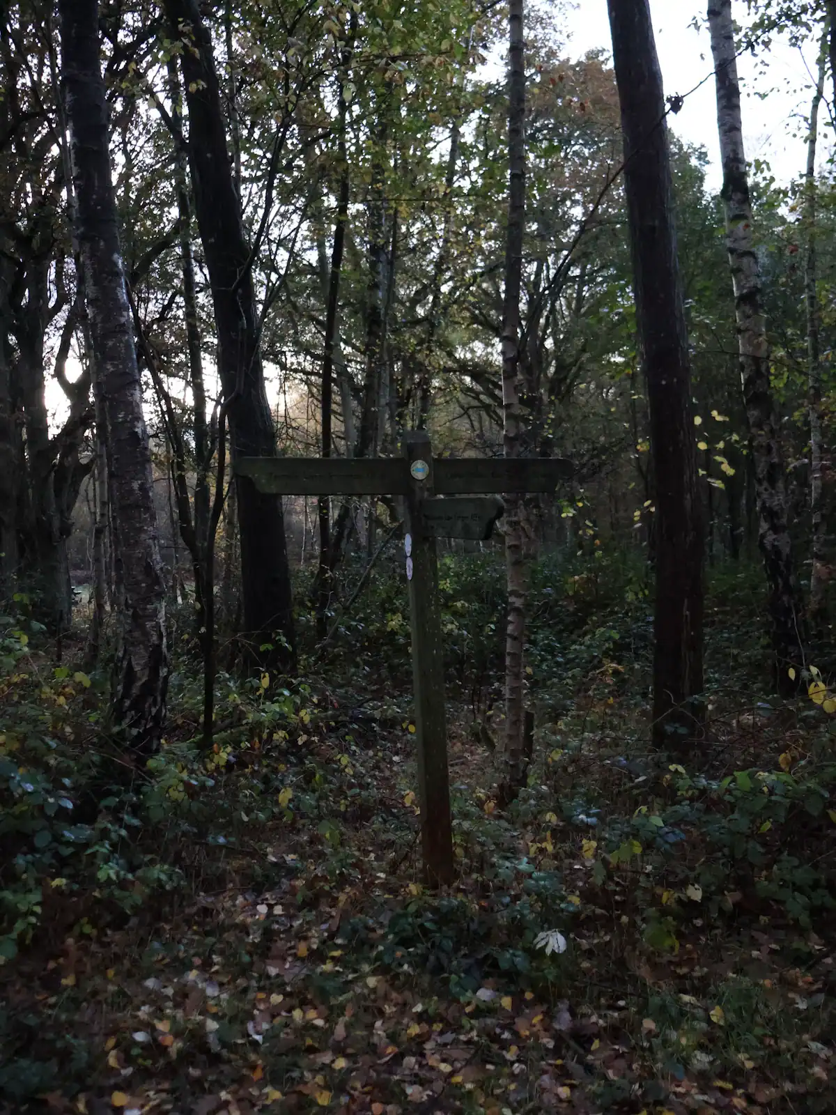
A ridge of Forest Service singletrack wedged between the lake and the river, and the closest real hiking to most Blue Ridge cabins.
1.5–6 hoursFree. No permit, no parking fee, no facilities.
Photograph: Unsplash

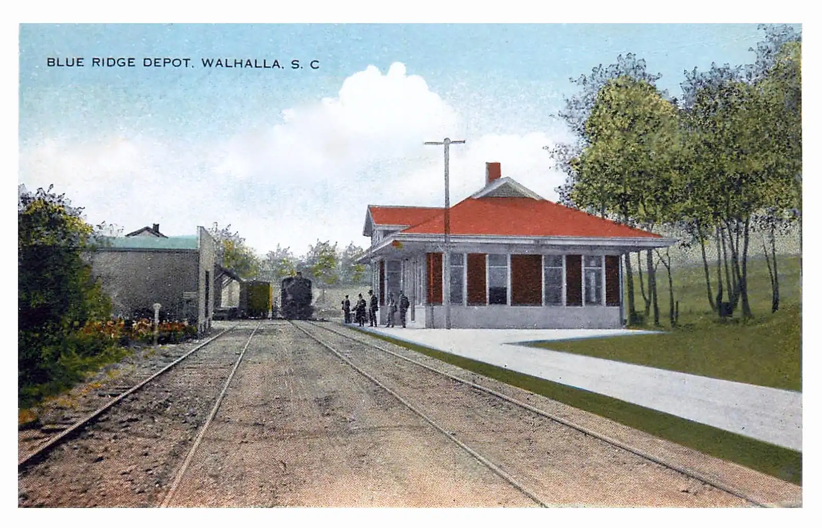
The oldest working thing in Blue Ridge: a Register-listed railway building still selling tickets to a train that still runs.
15–45 minutesFree to visit the building, platform side and yard. Train tickets are separate.
Photograph: Unknown author

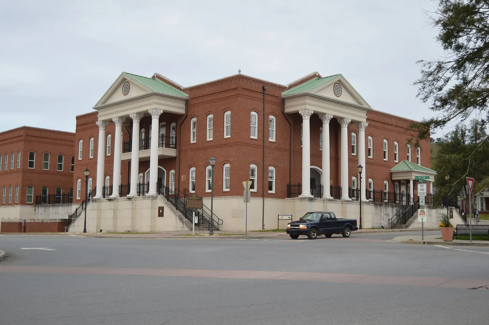
The Apple Capital of Georgia: a courthouse square, two rivers meeting, and orchards that turn the whole county into a queue in October.
2.5–6 hoursFree to visit. Orchards charge for fruit and for u-pick by weight.
Photograph: Nyttend
Straight answers
Yes, effectively without exception. There is no public transport a visitor can use, no shuttle between attractions and no reliable taxi trade. Cabins sit at the end of unlit private drives off county roads, and rideshare coverage is thin and cannot be counted on after dark or at a remote address. The only car-free version of this trip is staying within walking distance of the depot and riding the scenic railway.
Roughly two hours in normal conditions for about 90 to 95 miles, almost all of it on GA 515, the four-lane Appalachian Highway, through Jasper and Ellijay before GA 5 into town. Leaving Atlanta on a Friday afternoon or returning on a Sunday afternoon adds significant time, and in the back half of October leaf traffic slows the final approach. Leaving early is worth real minutes.
Hartsfield-Jackson in Atlanta and Chattanooga are both about two hours away by road, and neither has a useful shuttle service, so you will be hiring a car either way. Atlanta gives you far more flight options and much worse traffic. Chattanooga is a smaller airport with an easier drive down through Tennessee and in via Copperhill and McCaysville, which is also the more scenic approach.
Not usually, but it depends entirely on your cabin's driveway. Paved roads are fine in any car. Private cabin drives are frequently steep gravel, and a low front-wheel-drive car loaded with people and luggage can struggle on one in the wet. In ice, no ordinary car will manage a steep drive and residents simply park at the bottom. Ask the owner how steep and how surfaced the drive is before booking.
Patchy, and it fails in the places that matter: forest roads, deep coves and the last stretch to many cabins. Download offline maps for the whole county before you leave the main road, write the cabin address and gate code on paper, and note where on your drive in the signal comes back. Do not rely on being able to look up an address, a gate code or a phone number from the car.
Not dependably. The app will open and a car may appear in town at a busy hour, but coverage in a rural county of 25,000 people is thin, drivers are reluctant to run out to unnamed gravel tracks, and the return journey late at night is the one that will not materialise. Plan on driving yourself, and decide who is not drinking before you set off for a tasting room.
On the street and in lots within a short walk of Main Street and the depot. It is straightforward most of the year, busiest on train days and October weekends, and some spaces are time limited, so read the signs. Out in the county, trailhead parking is a free gravel pull-off that can fill on a fine autumn Saturday, while developed Forest Service areas like Morganton Point charge a day-use fee.
With planning. Public charging in a rural north Georgia county is thin and unevenly spread, and what exists changes faster than any guide can track, so check current charger locations yourself close to your travel date. Arrive with range rather than expecting to top up on arrival, treat a cabin's ordinary socket as a slow overnight trickle, and remember that mountain gradients eat range faster than flat interstate miles.