Trail
Springer Mountain
Free
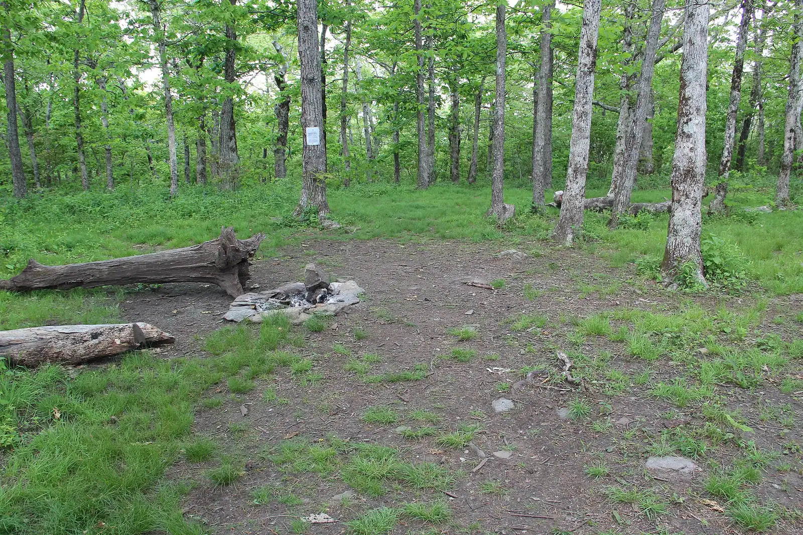
The Appalachian Trail's first white blaze sits at 3,770 feet, about an hour of mountain road from a Blue Ridge cabin.
1.5–7 hoursFree. No entry fee, no parking charge, no facilities.10.7 mi away
Photograph: Thomson20192
Nature preserve
Last updated
Around 106,000 acres of public land in Fannin County alone, almost none of it signposted, gated or supervised in the way visitors expect.
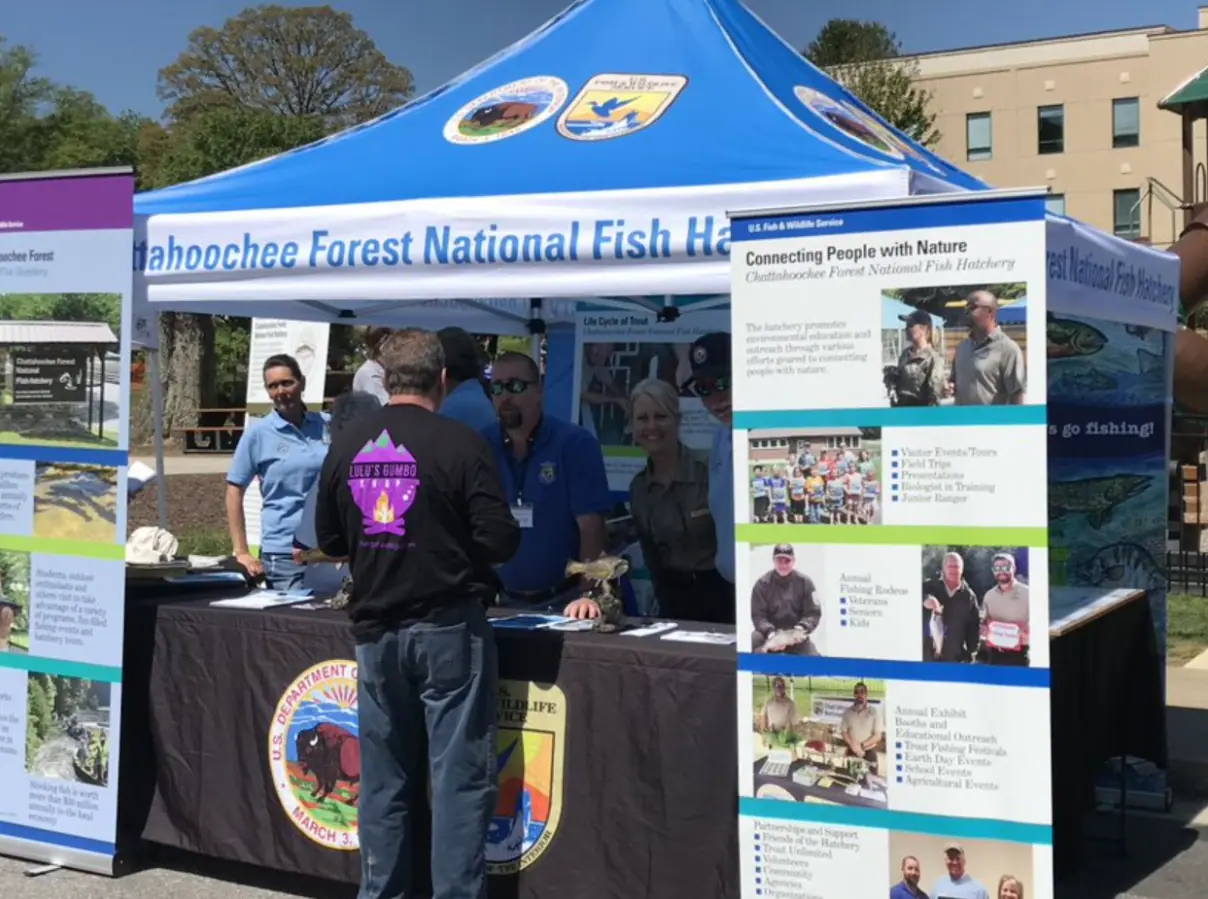
Photo: USFWSPublic domain
Almost everything worth walking to around Blue Ridge is on national forest, and almost nobody arriving for a cabin weekend understands what that means. It is not a park. There is no gate, no entrance station, no ranger at the trailhead and, in most places, no sign telling you that you have entered it. The Chattahoochee National Forest is simply the land that was not farmed, logged out or sold, bought back by the federal government a parcel at a time from 1911 onwards and now covering something in the order of 751,000 acres across eighteen north Georgia counties.
Fannin County's share is large. The county chamber puts it at roughly 106,000 acres, with about 300 miles of hiking trail and 100 miles of trout stream inside the county line. That is why a cabin here feels like it is in the woods even when there is a subdivision on the next ridge: the woods behind it are usually federal.
The practical consequences are the whole point of this page. Forest Service roads are maintained to a standard that assumes a high-clearance vehicle and are gated seasonally without notice. Dispersed camping is legal in most of the forest, which means the flat spot by the creek may have somebody in it. Hunting is legal in season, which means blaze orange is not optional in autumn. Fires are permitted until they are not, and the restriction goes up on a sign at the district office rather than in your inbox.
Set against that, what you get is genuine: rivers with no houses on them, ridgelines with no development, and the southern terminus of the Appalachian Trail on Springer Mountain, just over the county line. The Blue Ridge Ranger District administers this corner and is the authority on anything that changes.
You do not drive to the national forest; you drive into it, usually without noticing. The main paved corridors that put you inside it from Blue Ridge are Aska Road to the south-east, GA-60 south towards Suches, and the Doublehead Gap and Newport road network towards Springer Mountain.
From any of those, the numbered Forest Service roads branch off as gravel. That is the point at which the drive changes character and the mapping app stops being trustworthy about journey time.
The Blue Ridge Ranger District office administers this corner of the forest and is where to ask about road gates, fire restrictions, closures and current conditions. Call ahead rather than driving there on spec; office hours are limited and the answer to most questions is available by phone.
Allow an hour from town to anything genuinely remote, and do not plan on a schedule.
This is the single most expensive misunderstanding visitors have here, and it is measured in wheel rims.
Forest Service roads are numbered, unpaved, and built to move logging trucks and fire equipment rather than hire cars. Expect gravel, washboard, exposed rock, water bars laid across the surface at an angle, and a crown that sheds water into ruts and leaves them there. Speeds of ten to fifteen miles an hour are normal. Passing places are where you find them.
Three rules.
Check the gate. Many roads close seasonally or after damage, sometimes with a padlock and no advance notice. The Blue Ridge Ranger District holds the current picture.
Check the clearance. A standard saloon gets along most main forest roads in dry weather and has a genuinely bad time after a week of rain. Loaded with four adults it will scrape.
Check the signal. Coverage ends well before the interesting part. Load the route, screenshot the map, and tell somebody where you are going. There is no AA to call and no reliable way to call them.
If a tree is across the road, that is the end of the plan. Turn round.
Two kinds of camping happen here and visitors routinely confuse them.
Developed campgrounds are the Forest Service sites with numbered pitches, a toilet block, drinking water in season and a fee. Morganton Point on Lake Blue Ridge and Deep Hole on the Toccoa are the two most Blue Ridge visitors use. They open and close seasonally and fees are set by the agency; check current arrangements rather than assuming.
Dispersed camping is the other kind: pitching on national forest land away from a developed site, free, with no facilities at all. It is broadly permitted across the Chattahoochee subject to local restrictions, distance rules from water and trailheads, and stay limits. Some heavily used corridors have tighter rules than the general ones. The practical effect on a day visitor is that the attractive flat area by the river may be somebody's camp, and the reason the river bank near a popular pull-in looks worn is that a great many people have camped on it.
Campfires are permitted in much of the forest much of the time, and are banned during dry spells and burn bans. The restriction is real and is enforced. If you cannot confirm that fires are currently allowed where you are standing, do not light one.
Take everything out. There is no collection.
National forest in Georgia is open to hunting under state regulation, and Fannin County has a long and serious hunting culture. This surprises visitors from cities who assume public land means recreational land only.
From roughly early autumn through the winter, and again for a spring turkey season, there will be people in these woods with firearms, legally and often a long way from a road. Deer, bear and turkey are all hunted here. Some of the land is Wildlife Management Area with its own additional rules and dated hunts.
What that means for you.
Wear blaze orange from September through to the end of winter, and put an orange bandana or vest on the dog. Deer-coloured dogs off the lead in November are a genuinely bad idea.
Stick to signed trails. Hunters expect walkers on them and do not expect them on a ridge at first light.
Avoid dawn and dusk in season if you can, which are the active hours.
Check the current season dates with the Georgia Department of Natural Resources. They move every year and no article, including this one, is a reliable source for them.
The Chattahoochee is not one thing. Around Fannin County the recognisable pieces are these.
The Toccoa River corridor, including the swinging bridge and the trail along the water from Deep Hole, which is the most riverside walking in the county.
The Aska trail network on the ridge between the lake and the river, which is the closest real hiking to most cabins.
The Lake Blue Ridge shoreline, much of which is forest and therefore undeveloped, which is why the lake looks the way it does from a boat.
Springer Mountain, at 3,770 feet on the Fannin and Gilmer county line, where the Appalachian Trail begins and the Benton MacKaye Trail starts a few minutes north of the summit.
The waterfall walks: Long Creek Falls up near Three Forks, Fall Branch Falls on the Aska side, and a longer list of smaller ones that require a forest road and a willingness to get lost.
Further out, the Cohutta Wilderness to the west is one of ten wilderness areas on this forest and is a different order of remoteness altogether. Brasstown Bald, Georgia's highest point at 4,784 feet, is east of here on the same forest.
Straight-line distances, so allow more on the road — the island is long and has one main parkway.
The Appalachian Trail's first white blaze sits at 3,770 feet, about an hour of mountain road from a Blue Ridge cabin.
1.5–7 hoursFree. No entry fee, no parking charge, no facilities.10.7 mi away
Photograph: Thomson20192
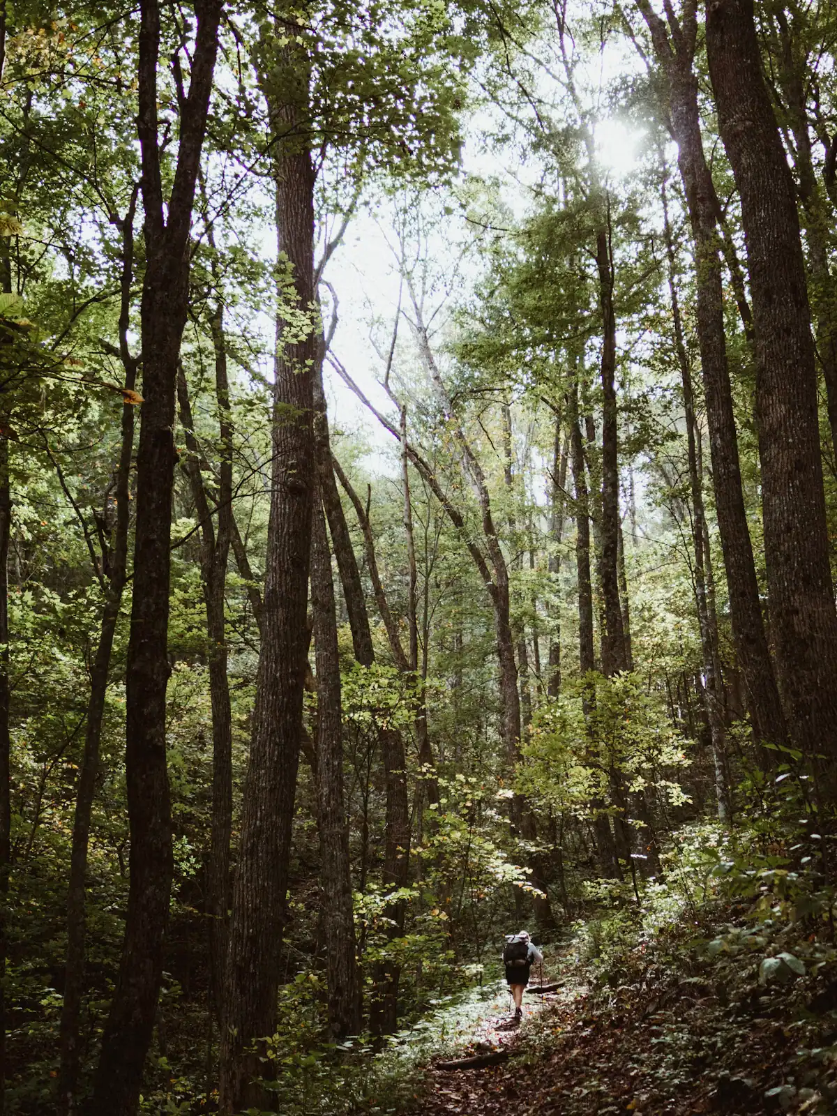
The quieter long trail: 300 miles from Springer Mountain to the Smokies, and the one that actually runs through Fannin County.
1–8 hoursFree. No permit required for day walking, no facilities on the trail.4.2 mi away
Photograph: Unsplash
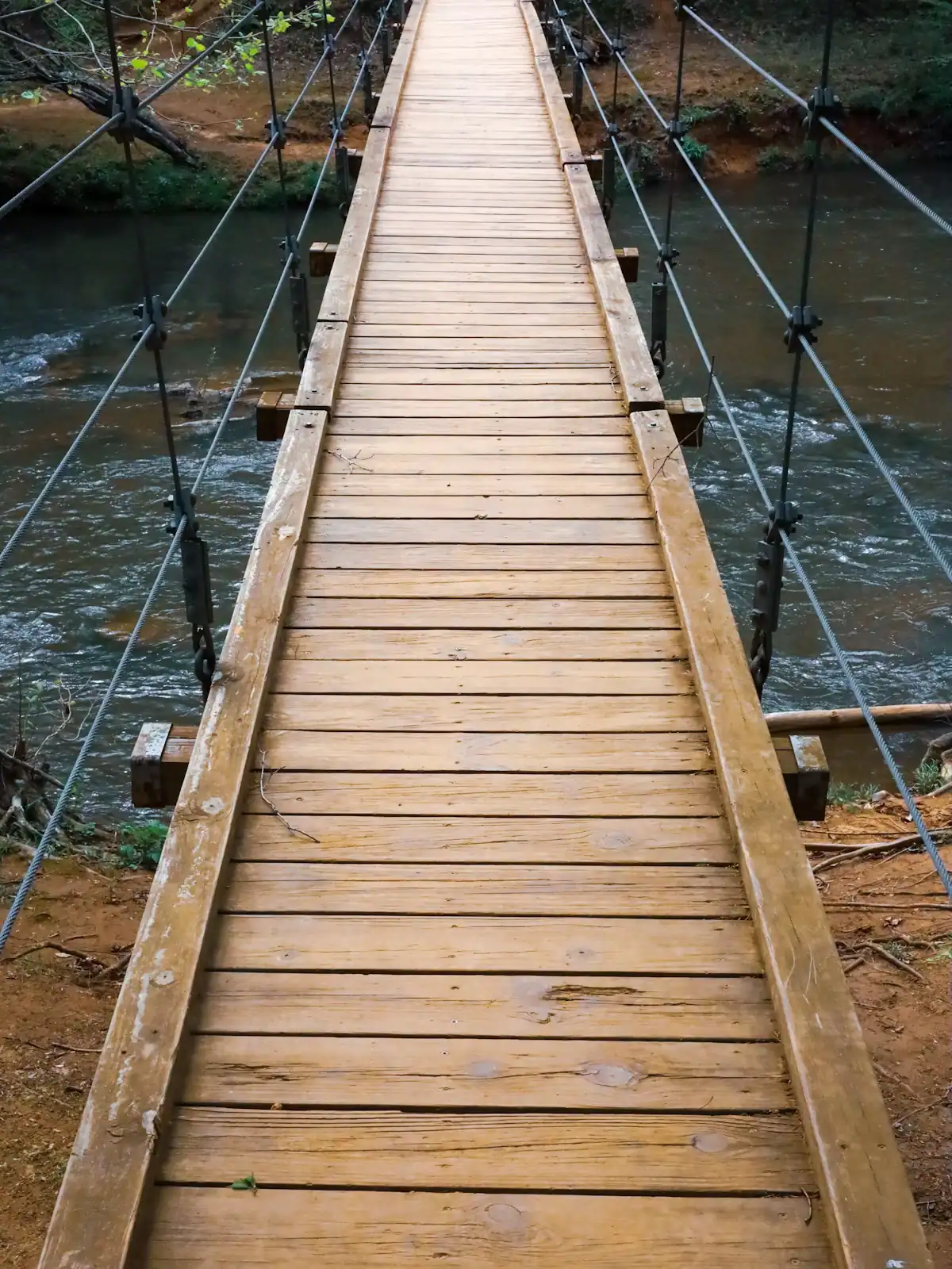
A cable footbridge that genuinely sways, hung over the Toccoa on the Benton MacKaye Trail, at the end of a gravel forest road.
0.5–4 hoursFree. No fee, no gate, no facilities.4.2 mi away
Photograph: Unsplash

A broad, stepped falls a few minutes off the Appalachian Trail, reached by a forest road that does most of the work of keeping it quiet.
2–4 hoursFree. No fee, no facilities, no waste collection.8.2 mi away
Photograph: Frances Long Taylor
Where this place fits into a day, and the pages that plan one.
Almost nobody comes to Blue Ridge and stays in a hotel. They rent a cabin, usually for two or three nights, usually up a slope somewhere off a…
Photograph: Unsplash
Fannin County does not have many attractions in the sense a city has attractions. It has one excursion railway, one very large apple farm, one…
Photograph: Unsplash
You need your own car. That is the whole transport answer for Fannin County, and everything else on this page is detail hanging off it. There is no…
Photograph: Unsplash
Fannin County holds something in the region of 106,000 acres of the Chattahoochee National Forest, roughly three hundred miles of trail and a…
Photograph: Unsplash
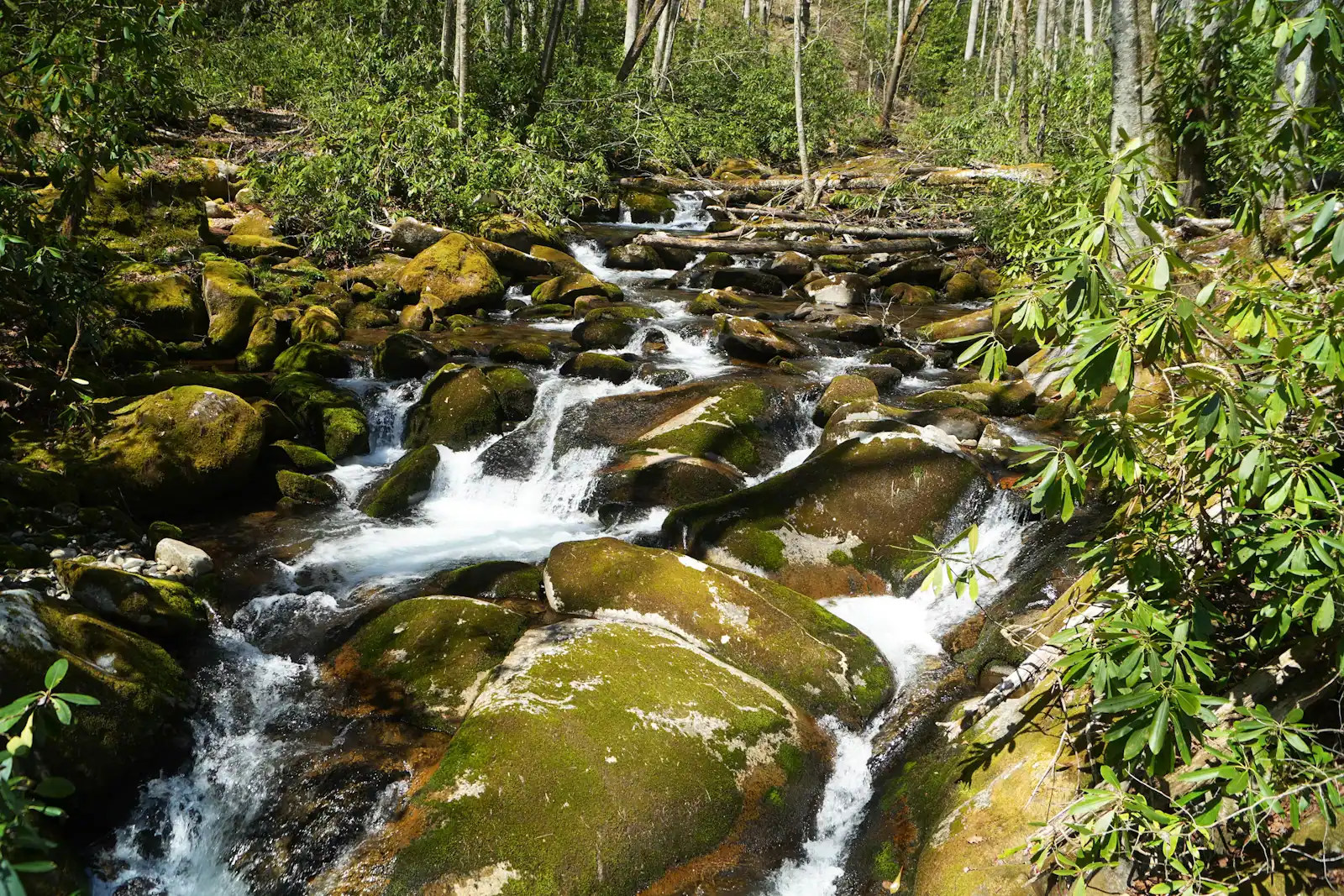
Once the cabin is paid for, Fannin County is close to free, and that is not a budget-travel writer's spin. It is a consequence of what the place is…
Photograph: Unsplash
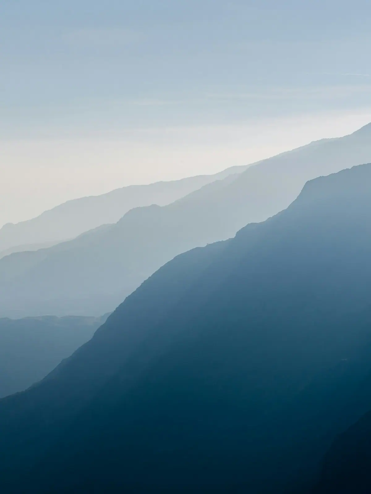
Colour here is a function of height, not of the calendar. The county spans about 2,300 feet of elevation and the change comes downhill over roughly three weeks.
7 min readWyatt Ledford
Photograph: Unsplash
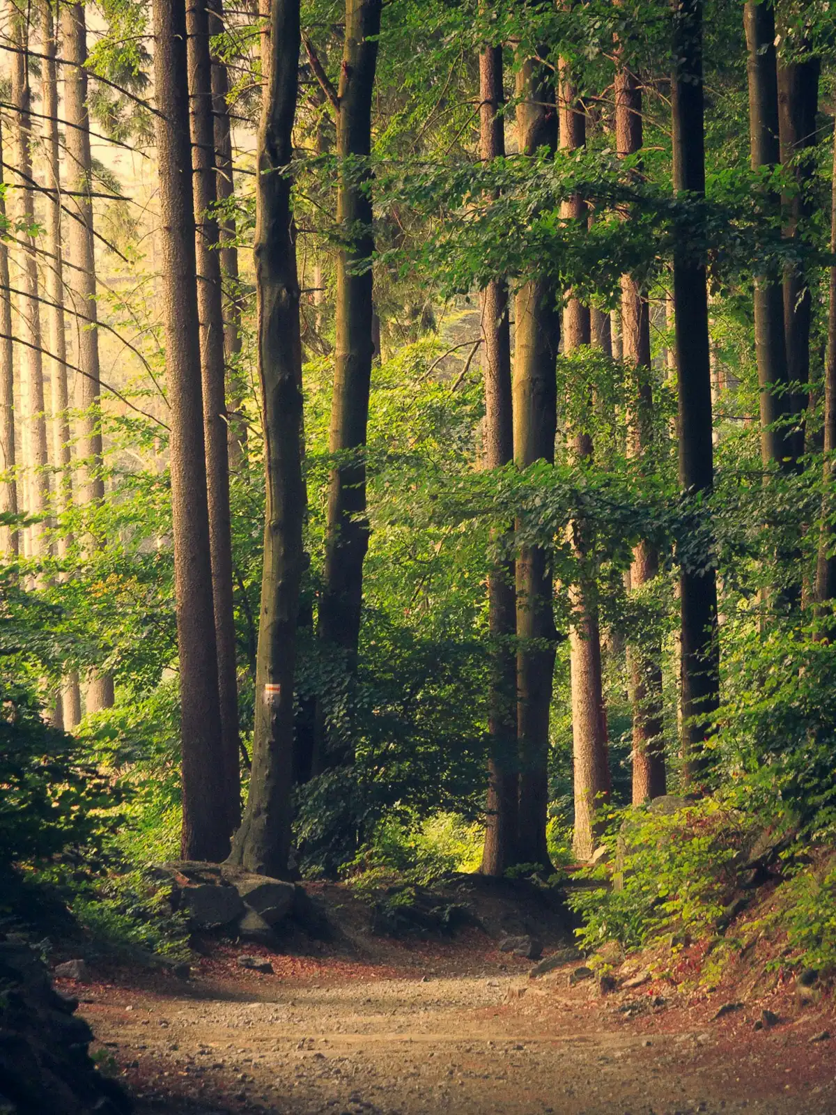
Nearly everything free in Fannin County is free at the point of use and costs you a tank of fuel and forty minutes of gravel. Here is what is worth that trade.
6 min readWyatt Ledford
Photograph: Unsplash
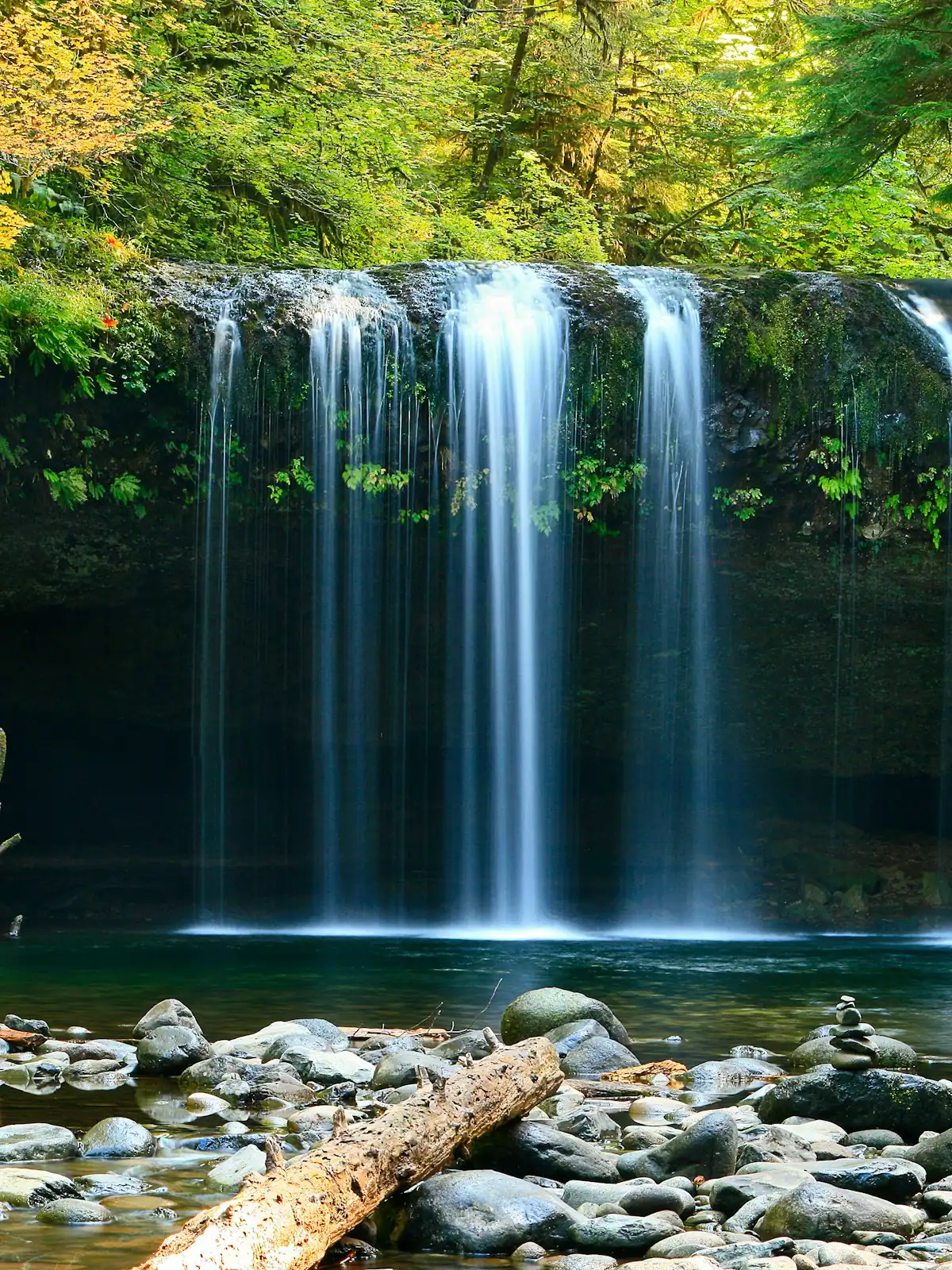
The walks are short. The gravel roads that reach them are not, and that is what actually decides your afternoon. What each waterfall is really like, and how to get there.
6 min readWyatt Ledford
Photograph: Unsplash
The county chamber publishes a figure of roughly 106,000 acres of Chattahoochee National Forest inside Fannin County, together with about 300 miles of hiking trail and 100 miles of trout stream. Across all of north Georgia the Chattahoochee covers something in the order of 751,000 acres in eighteen counties. That is the reason a cabin here backs onto woods rather than onto somebody's garden, and why so much of the shoreline of Lake Blue Ridge is undeveloped.
Broadly yes, with conditions. Dispersed camping away from developed sites is generally permitted and free, subject to stay limits, distance rules from water and trailheads, and tighter local restrictions in heavily used corridors. Developed campgrounds such as Morganton Point on the lake and Deep Hole on the Toccoa have numbered pitches, toilets and a fee. Check current rules with the Blue Ridge Ranger District before relying on either.
Main forest roads are usually passable in a standard car in dry conditions at ten to fifteen miles an hour. After a wet spell they are not, and a fully loaded low hire car will scrape on water bars and exposed rock. Roads gate seasonally and after storms without notice, and mobile signal disappears long before the interesting part. Load your route before you leave pavement and turn round if a tree is down.
Yes. National forest land in Georgia is open to hunting under state regulation, and Fannin County has a serious hunting culture. Deer, bear and turkey are all hunted here, with autumn and winter seasons plus a spring turkey season. Wear blaze orange through those months, put orange on the dog, stay on signed trails and avoid dawn and dusk. Season dates change annually and come from the state wildlife agency.
On Springer Mountain, 3,770 feet, on the Fannin and Gilmer county line inside this forest. It has been the southern terminus since 1958, when the designation moved north from Mount Oglethorpe. The Benton MacKaye Trail also begins there, a few minutes north of the summit. The 8.5-mile approach trail from Amicalola Falls State Park is a separate path and is not itself part of the Appalachian Trail.