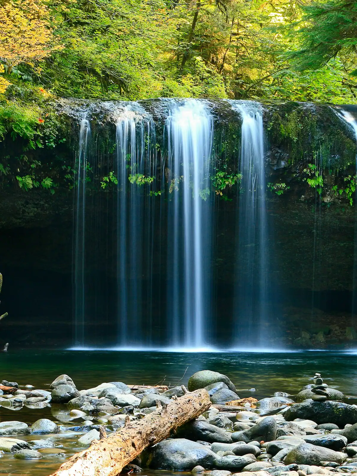
Set your expectations in two places before you plan a waterfall day in Fannin County, and you will enjoy all of them.
First, southern Appalachian waterfalls are cascades. Water comes down a staircase of rock through rhododendron rather than launching off a lip into a bowl. They are beautiful in a low, green, enclosed way that photographs badly and looks wonderful in person. They are not Yosemite and nothing here pretends to be.
Second, the walk is rarely the effort. The drive is. Most of these trailheads sit inside roughly 106,000 acres of Chattahoochee National Forest reached by Forest Service roads surfaced in creek gravel, and the last four miles routinely take longer than the first twenty. Plan the day around the driving and the day works.
The four worth your time
| Walk | Round trip | The road in | What it actually is |
|---|---|---|---|
| Fall Branch Falls | Short. Well under a mile | Paved county road then a stretch of gravel off Stanley Creek Road | A two-tier cascade with a viewing platform, on the Benton MacKaye Trail. The one to do with a small child or limited time |
| Long Creek Falls | About two miles, gentle | Forest Service road off the FS 42 network. Slow, rough in places | A broad tumble at Three Forks, where the Appalachian Trail and the Benton MacKaye Trail run on the same treadway. The nicest walk of the four |
| Toccoa River Swinging Bridge | Short from the nearest trailhead, longer if you walk in from the river | Gravel, and the approach varies by which end you use | A long suspension footbridge over the Toccoa on the Benton MacKaye Trail. Not a waterfall, and the best short walk in the county |
| Amicalola Falls | Under a mile to the base, more if you take the stairs to the top | Fully paved. State park, proper car park | 729 feet, the highest waterfall in Georgia. About an hour south in Dawson County, and a different trip rather than an afternoon |
Fall Branch Falls
This is the one most cabin guests actually reach, and deservedly. The walk from the roadside to the lower viewing platform is a matter of a few hundred yards on a graded path, and the falls drop in two distinct tiers with a good angle from the platform. It sits on the Benton MacKaye Trail, so you can keep walking as far as you like afterwards.
The catch is parking. The trailhead is a widening in a gravel road with room for a handful of cars, and on an October Saturday it fills. Arrive early, and do not park where you block the road, because logging and forest traffic still uses it.
Long Creek Falls
Three Forks is where three streams meet and where the Appalachian Trail and the Benton MacKaye Trail share the same path for a stretch. The spur to Long Creek Falls leaves the joint treadway and runs a few hundred yards to a broad, low fall in a bowl of hemlock and rhododendron. The walk in is easy and mostly flat by local standards.
You will meet thru-hikers here in March and April, because Springer Mountain is a few miles south and this is their second morning. It is a pleasant thing to be on the receiving end of. Stand aside on the narrow sections; they are carrying everything they own.
The Toccoa River Swinging Bridge
A long suspension footbridge slung over the Toccoa on the Benton MacKaye Trail, and genuinely the most memorable short walk in the county. It moves underfoot, which is the point, and the river below it is clear and shallow and full of fish.
Two honest caveats. The length usually quoted locally, and the claim that it is the longest swinging bridge east of the Mississippi, are repeated everywhere and we have not been able to trace either to a primary source. Treat the superlative as local lore. And the bridge has been closed for repair at times, so check its current status with the Forest Service or the chamber before you drive out, because the approach roads are not a trivial detour.
Amicalola Falls
At 729 feet this is the highest waterfall in Georgia and the one visitors mean when they ask about a big waterfall near Blue Ridge. Be clear that it is about an hour south, in Dawson County, inside a state park with paved access, a visitor centre, a staircase of several hundred steps beside the falls and a parking fee. The name is from the Cherokee for tumbling waters.
It is also where the 8.5-mile Appalachian Approach Trail begins, walking north to Springer Mountain, which is why the car park is full of people with very large rucksacks in March.
When the water runs
Rainfall decides everything. These are small catchments, and a fall that is a wall of noise two days after a storm can be a trickle after a dry fortnight.
- Best: late winter and spring, roughly February to May, when the ground is saturated and the leaves are not yet blocking the view.
- Good: any time within two or three days of real rain.
- Poor: late summer in a dry year. September can be genuinely thin.
- Underrated: after leaf fall in November. The falls are visible from further away and the woods are open.
The things that actually go wrong
The hazards here are specific and worth naming.
The rock beside these falls sits under permanent rhododendron shade and never fully dries. It grows a film of algae that is far slicker than it looks, and the people who get hurt in north Georgia waterfalls are almost always the ones who climbed the wet rock beside the water for a better angle. Stay on the built viewpoints.
The creeks rise fast. A storm several miles upstream, over ground you cannot see, can put a foot on a crossing in half an hour with no rain falling where you are standing. If the water is brown, turn round.
There is no mobile signal at most of these trailheads and no facilities of any kind. Download the map before you leave the last paved road, take water, and tell somebody at the cabin which road you went down.
Finally, the roads. Forest Service roads are not maintained to county standards, gates close on some of them seasonally without much notice, and a road a saloon car handles in June can be rutted and greasy in February. If you meet a road you do not like the look of, the correct decision is to turn round while there is still somewhere to do it.
Last updated
Opening hours, ordinances and prices move with the season. We re-check this guide rather than rewrite it, and the date above is the last time someone did. How we research and correct.