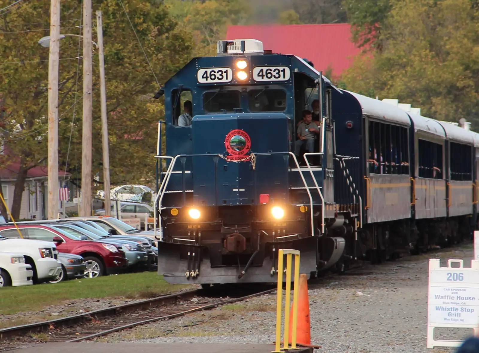
Blue Ridge Scenic Railway
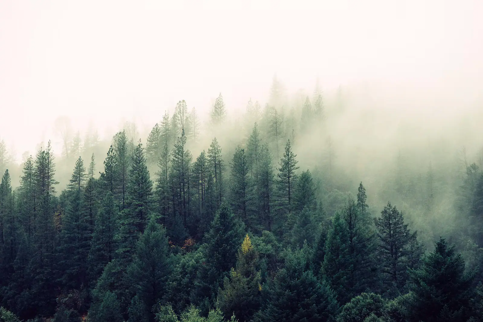
Twenty-six miles of river running to a town cut in half by a state line, in an open-sided coach with the windows down.
2–5 hoursTicketed. Fares vary by coach class, trip length and season.
Photograph: Thomson200
Guide hub
What to actually do in Blue Ridge, Georgia: the scenic railway, Mercier Orchards, Lake Blue Ridge and the Toccoa, with honest drive times from your cabin.
UnsplashAlmost nobody comes to Blue Ridge and stays in a hotel. They rent a cabin, usually for two or three nights, usually up a slope somewhere off a county road, and the trip is then built outward from that deck. Understanding this is the difference between a good weekend here and a frustrating one, because a cabin in Fannin County is not a base in the way a beach condo is a base. It is a destination in its own right, and the rest of the county is fifteen to forty-five minutes of two-lane road away from it.
That number is the single most useful thing on this page. Blue Ridge itself is tiny: 1,253 people at the last census, a county seat that was laid out in 1886 when the Marietta and North Georgia Railroad reached this point and incorporated the following year. Main Street runs two blocks beside the depot and you can walk all of it in twenty minutes. Everything else is scattered across a county that holds something like 106,000 acres of the Chattahoochee National Forest, and the roads between those things follow creeks and contours rather than a grid. Ten miles on the map is rarely ten minutes in the car. Plan two things a day and you will enjoy both. Plan five and you will spend the weekend driving.
The fixed points are easy to name. The Blue Ridge Scenic Railway leaves from the depot on Depot Street and runs a 26-mile round trip along the Toccoa River to the twin towns of McCaysville, Georgia and Copperhill, Tennessee, where the state line is painted across the pavement and everyone photographs their feet in two states. Mercier Orchards, north of town on the McCaysville road, has been a working apple farm since 1943 and turns into one of the busiest places in north Georgia every October. Lake Blue Ridge sits behind a 1930 dam, holds about 3,300 acres of water with sixty-odd miles of shoreline, and is almost entirely ringed by national forest rather than by houses. The Toccoa River runs through all of it, gentle enough to float in an inner tube, cold enough to hold trout, and it changes its name to the Ocoee at the state line.
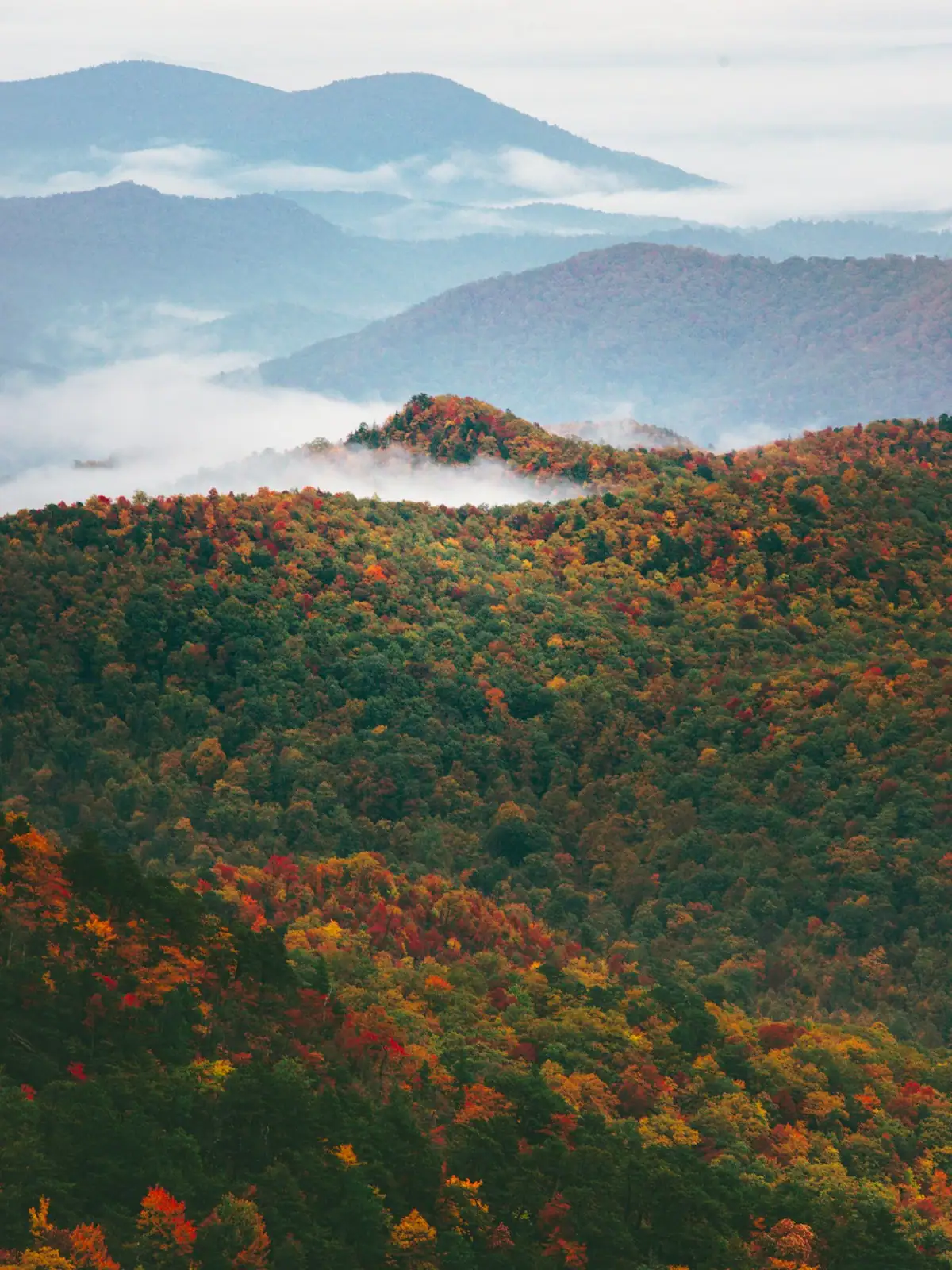
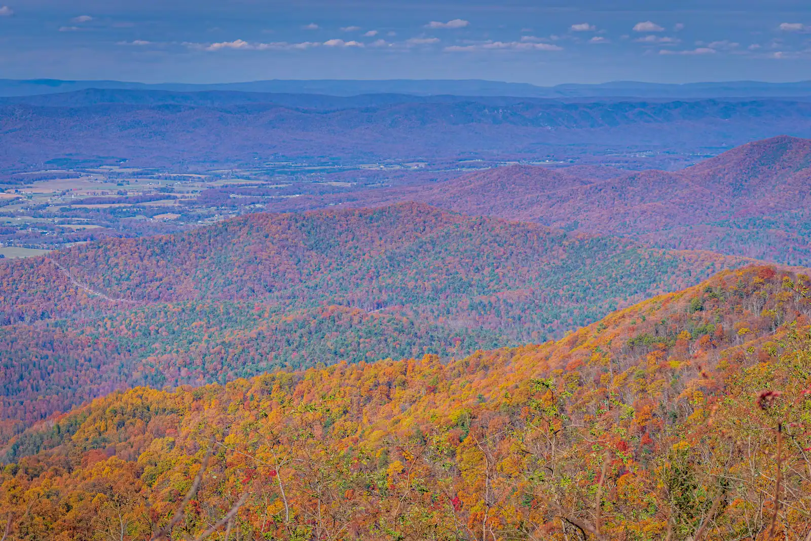
Then there is the season, which does more to your trip than any individual attraction. Leaf colour at these elevations usually arrives in the second half of October, and when it does, the county roughly doubles in population on weekends. Cabins book months out, the orchard car park overflows onto the verge, and the drive into town can take three times as long as it did in August. The rest of the year is quieter than visitors expect: green and humid in July, bare and genuinely cold in January, and gloriously empty in the first week of May.
What follows is organised the way the weekend actually runs. Where your cabin is and what that costs you in driving. What to do on the first afternoon, the full day, and the morning you leave. Which things are worth the road and which are not.
UnsplashCabin listings all say "minutes from downtown Blue Ridge". Treat that as marketing. There are four broad areas and they give you completely different trips.
Aska Road, running south from town between Lake Blue Ridge and the Toccoa, is the most convenient: ten to twenty minutes back into town, forest on both sides, and the Aska trails on your doorstep. It is also the most expensive and the most booked.
The lake shore and Morganton, east and northeast, put you on the water and about twenty-five to thirty-five minutes from Main Street.
North toward McCaysville is orchard and river country, close to Mercier and to the state line, and the drive to town is fifteen to twenty minutes on a decent road.
Deep in the forest, off GA 60 or the Doublehead Gap and Newport road network, is where the quiet is, and where the drive to a grocery is forty-five minutes each way.
None of these is wrong. Choosing one without knowing which is the mistake. If it is your first visit, stay within twenty minutes of town.
UnsplashWhen to go
Most people pick up cabin keys somewhere between three and six on a Friday, having driven ninety-odd miles up from Atlanta after work. That afternoon has a natural shape and it is worth not fighting it.
Stop for groceries on the way in, not after you have unpacked. Once you are up the mountain you will not want to come back down, and the nearest supermarket to a deep-forest cabin can be a forty-minute round trip. Buy more firewood than you think you need if the cabin has a stove, and buy it in town rather than from a roadside honesty box at twice the price.
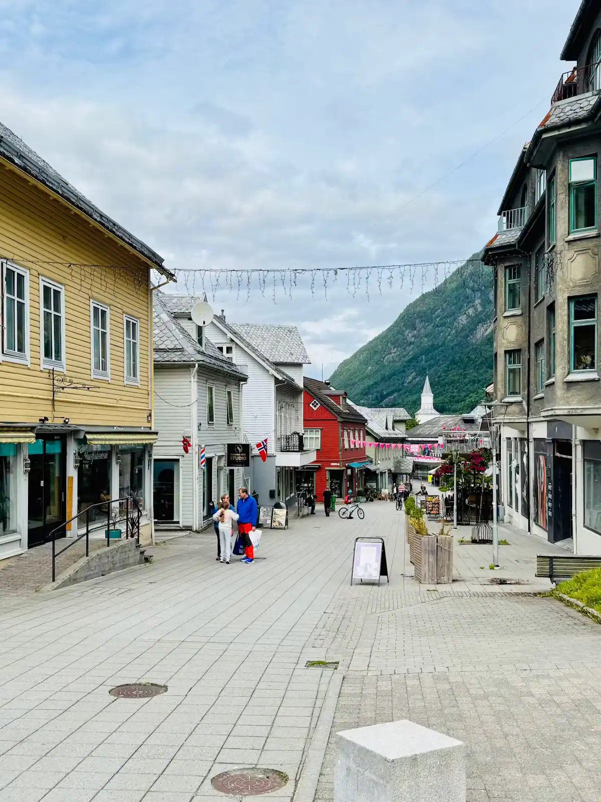
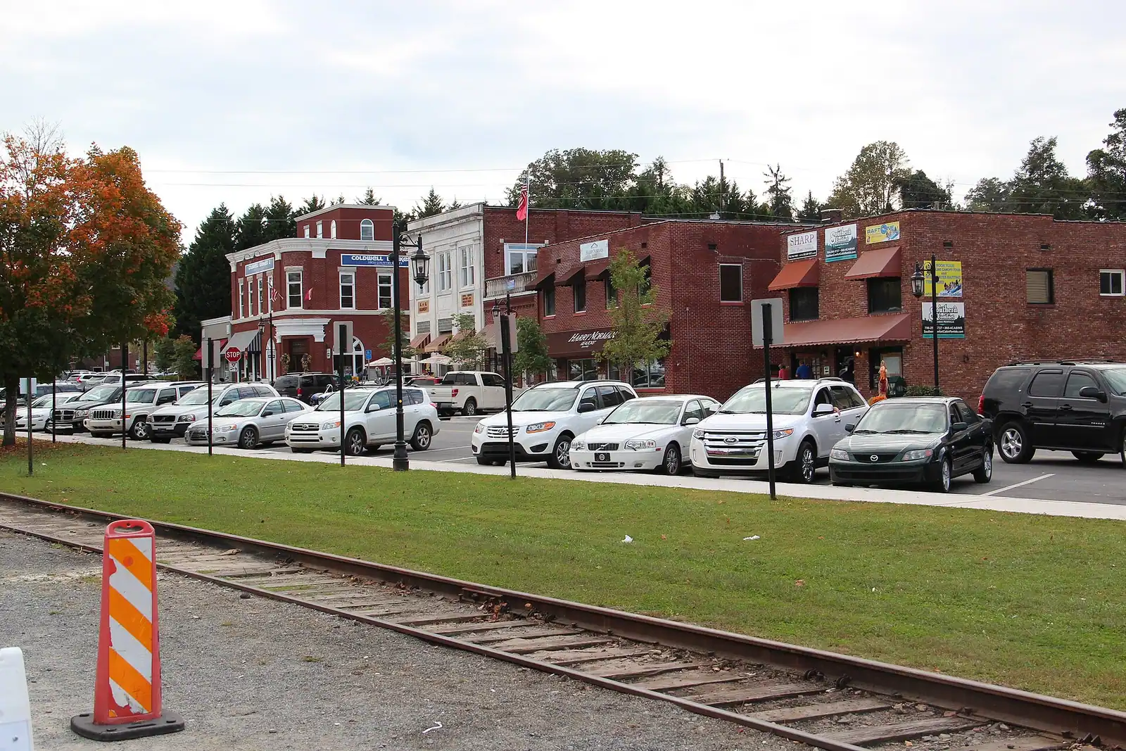
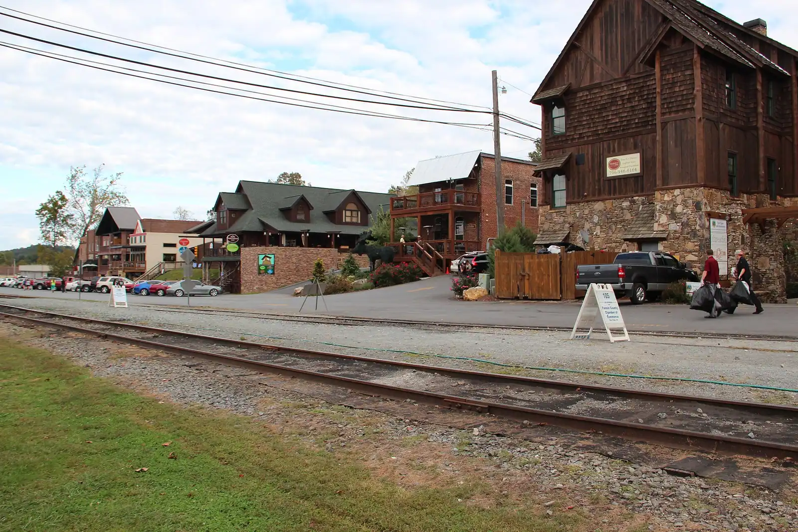
Then walk downtown Blue Ridge while the shops are still open. It is two blocks of storefronts along East and West Main either side of the depot, and the depot itself is the reason the town exists. An hour is enough to get the shape of it, work out where you want to eat tomorrow, and buy the thing you forgot to pack.
Get back to the cabin before dark. The roads up to these places are narrow, unlit, often gravel, and they look entirely different at night than on the listing photographs. Deer come out at dusk on every one of them.
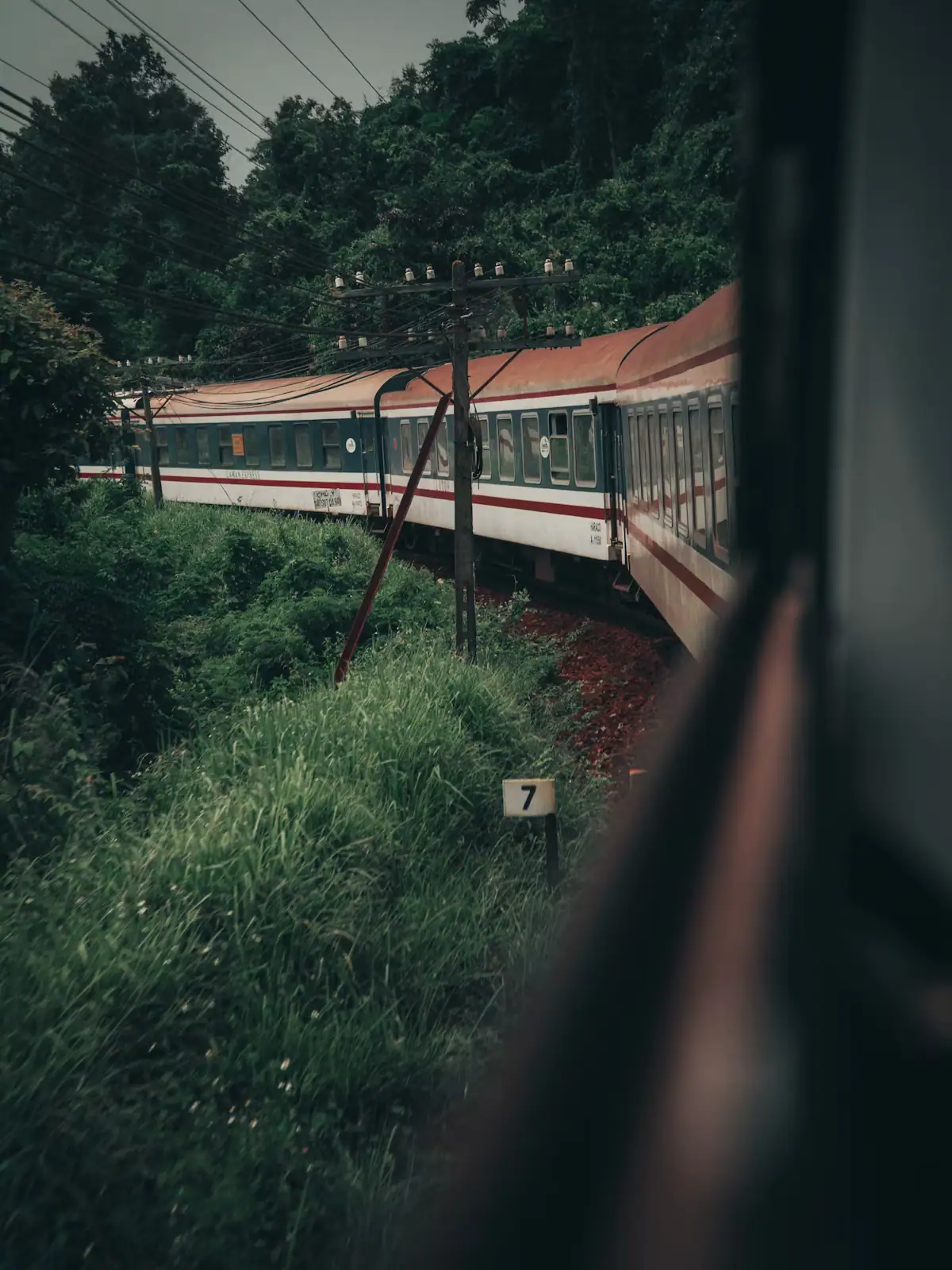
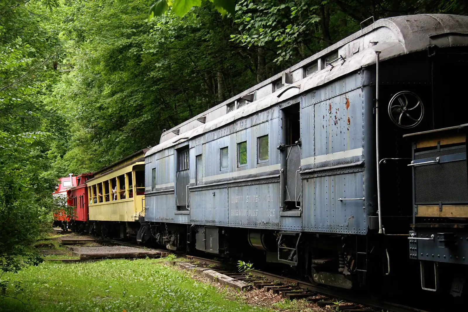
UnsplashThe Blue Ridge Scenic Railway has run excursions since 1998 over a freight line that the Georgia Northeastern Railroad still works. That is why the track exists at all, and why the trip has the unhurried, slightly industrial character it does rather than feeling like a theme-park ride.
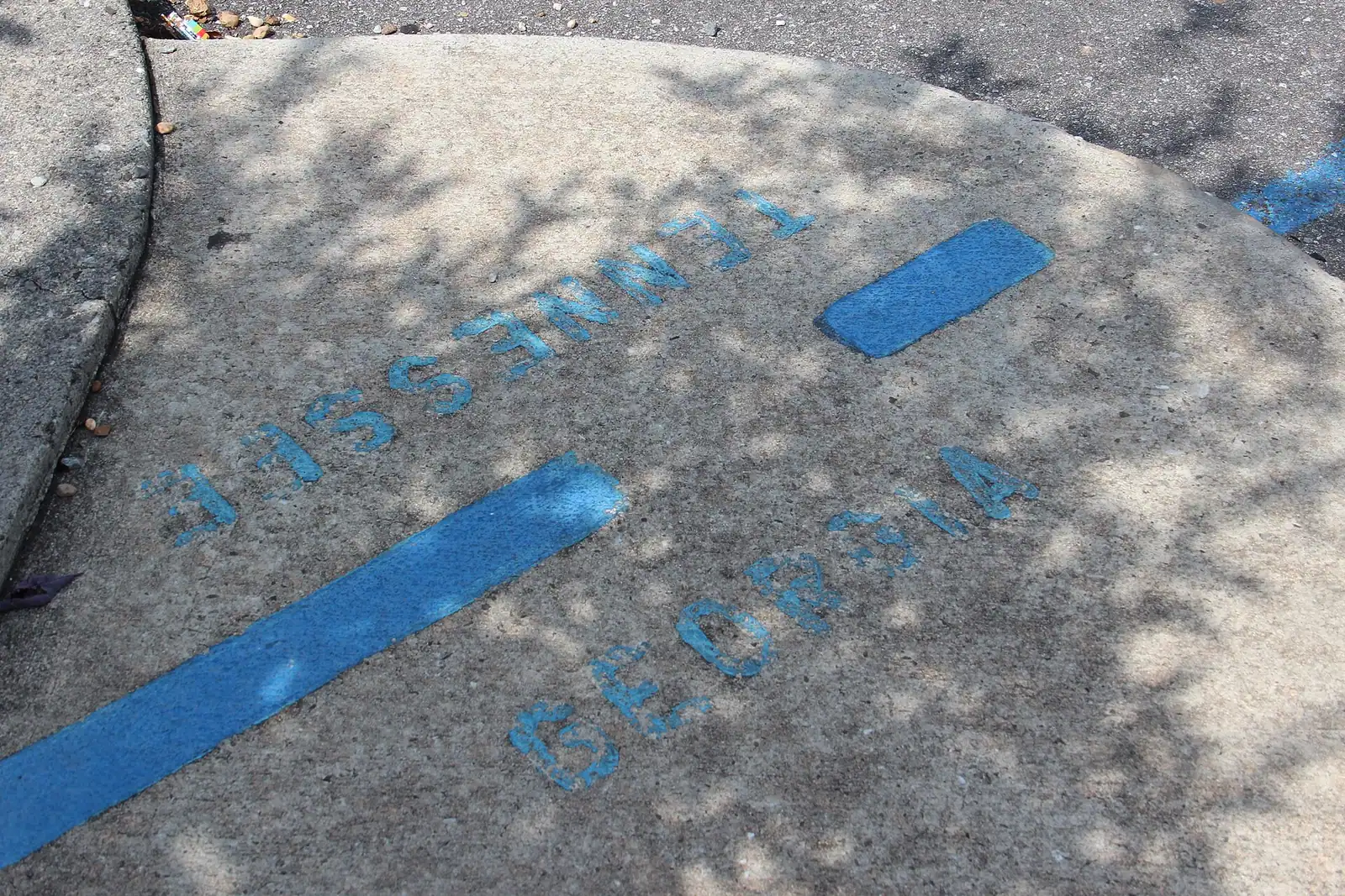
The route runs 26 miles there and back along the Toccoa River to McCaysville and Copperhill, the twin towns that face each other across the Georgia-Tennessee line. The standard trip takes about four hours, of which roughly two are a layover in the twin towns: you get off, wander the few streets, find the blue line painted across the pavement marking the state border, eat something, and reboard. On selected dates a shorter express runs without the layover. Seating is sold as standard, in enclosed carriages or open-air cars, with a premier option on top.
Two practical points. Open-air cars are the better ride and the colder one; in October and November take a jacket you would wear for a football match. And autumn dates sell out well ahead, because this is the single most-booked thing in the county and the trains do not get longer in leaf season. If your weekend is in the back half of October, book the train before you book anything else.
Schedules shift by season, so check the current timetable rather than a figure you read in an article.
Mercier Orchards has been farmed by the same family since 1943 and grows more than forty varieties of apple on the hills north of town. It is also, in practice, the county's second visitor attraction after the train, and the two compete for the same October Saturday.
What you actually do there depends on the month. Strawberries in late spring, blueberries and blackberries through summer, peaches, then apples from late summer into autumn. U-pick is only open when a crop is ready and the farm is not being picked out, so check the current picking calendar before you build a morning around it. Outside u-pick season the market, the bakery and the cidery carry the visit: fried pies and apple cider doughnuts are the things people queue for, and the hard cider is pressed, fermented and canned on the property, which no other Georgia orchard does.
The honest warning is the autumn crowd. On a fine Saturday in October the car park fills, the turn-in backs up onto GA 5, and the bakery queue is long enough to be a decision rather than an inconvenience. Go on a weekday, or go at opening, or go in the last hour of the afternoon. Going at midday on an October Saturday is choosing to queue.
UnsplashVisitors often lump these together. They give completely different days.
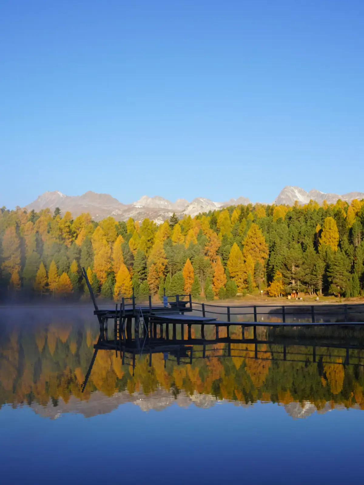
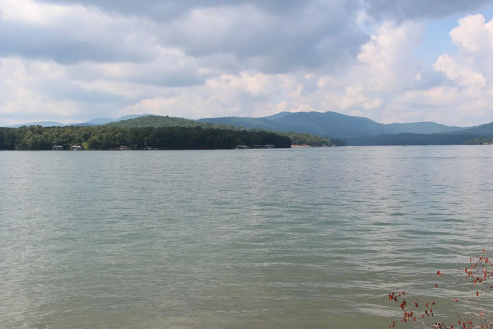
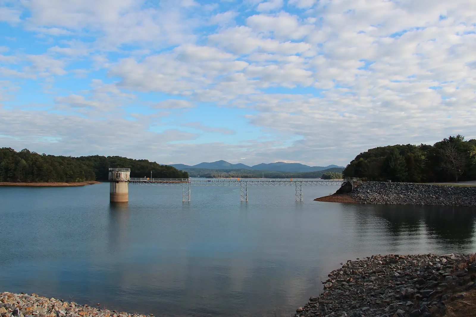
Lake Blue Ridge is a reservoir held back by a dam finished in 1930 and managed by the TVA. It covers around 3,300 acres with sixty-odd miles of shoreline, and because most of that shoreline is national forest rather than private lots, it looks far emptier than a lake this close to Atlanta has any right to. It is for pontoon boats, swimming off a dock, and paddling into coves. The thing nobody tells you: the lake is drawn down by roughly twenty feet in winter. Between late autumn and spring the water is low, the ramps and docks can be awkward or unusable, and photographs taken in June are not what you will find in February.
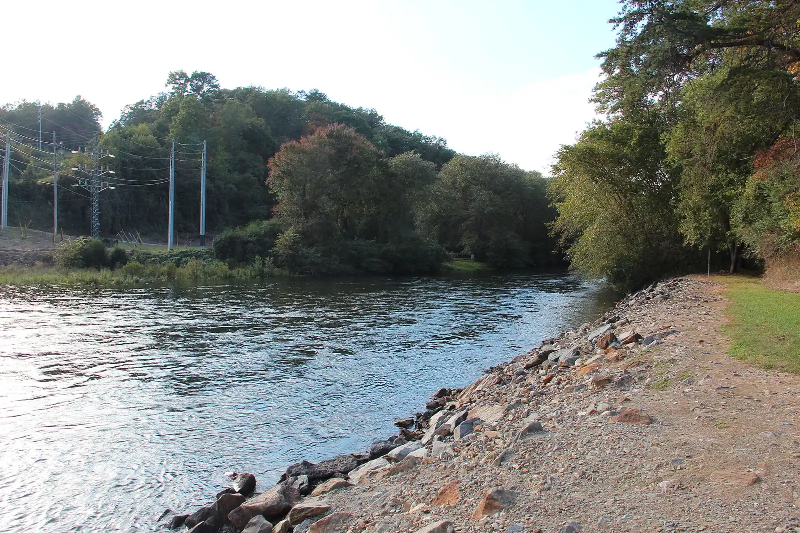
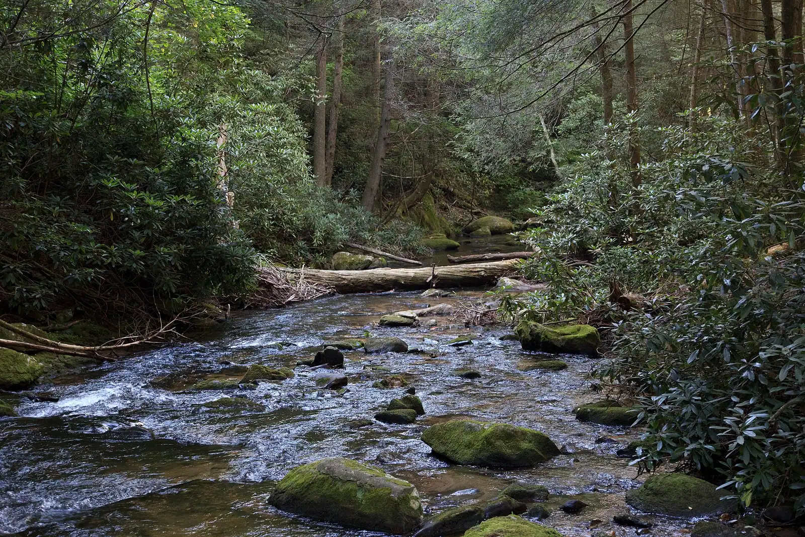
The Toccoa River is the alternative and runs all year. Fifty-six miles of it lie in Georgia before it crosses into Tennessee at McCaysville and becomes the Ocoee. The stretch below the dam is cold, tail-water trout river; the section upstream around Deep Hole is the classic summer tubing float, slow enough to fall asleep on. Fannin County calls itself the Trout Fishing Capital of Georgia and claims something like a hundred miles of trout stream to back it up.
Serious whitewater is not on the Toccoa. It is over the state line on the Ocoee, running on TVA dam releases most weekends from March into October, and it is a forty-minute drive plus a different state's worth of outfitters.
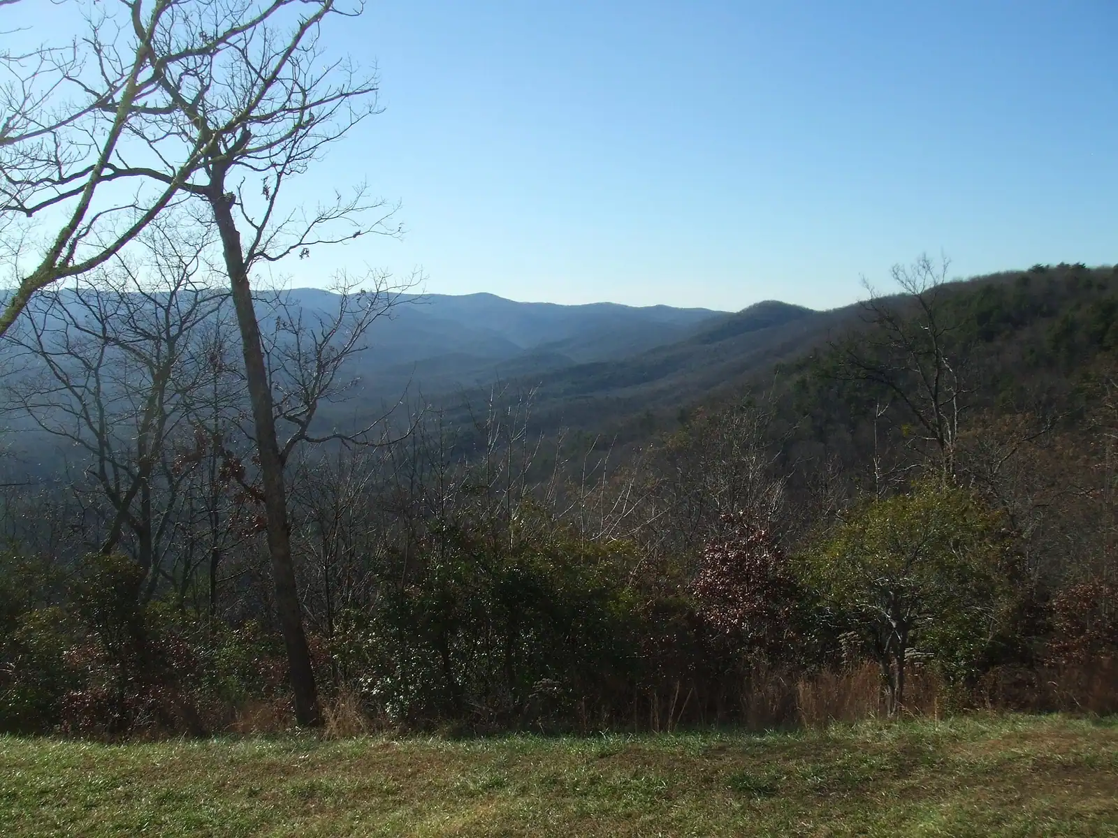
The county advertises something in the region of three hundred miles of trail, and the range of difficulty inside that number is enormous.
At the easy end, the Aska Adventure Area between the lake and the river is a compact network of marked paths where you can put together a loop of an hour or several, with the ridge above Lake Blue Ridge as the reward. Fall Branch Falls, off Stanley Creek Road, is a short and steep walk to a proper waterfall, and it is the one to do with people who do not really want to hike.
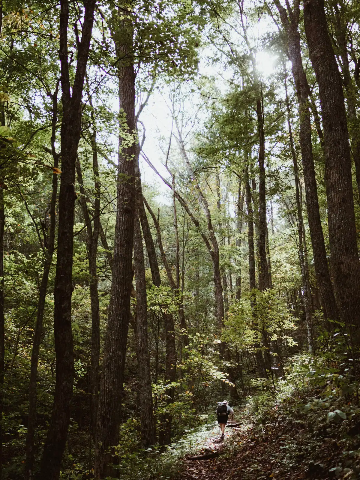
At the far end, Springer Mountain sits at 3,770 feet on the Fannin and Gilmer county line and has been the southern terminus of the Appalachian Trail since 1958. The nearly three-hundred-mile Benton MacKaye Trail starts within half a mile of the same summit and takes the westerly line through these mountains that Benton MacKaye originally imagined for the AT itself. In March the Springer approach fills with thru-hikers beginning a walk to Maine, which is worth seeing even if you are only out for an afternoon. Long Creek Falls, about a mile from Three Forks where the AT and the BMT run together, is the best short walk in that country.
Forest roads to the trailheads are gravel, rutted after storms, and occasionally gated. Check current forest alerts before committing a whole day to one.
Local tips
How they compare
Every figure below is from the depot on Depot Street, in normal conditions, on roads that curve. Add a third in October and add more if you are behind a log truck or a caravan of leaf-lookers, which is most of the second half of that month.
| Where | Allow | Road notes |
|---|---|---|
| Mercier Orchards | About 10 minutes | Straight run north on GA 5. The queue to turn in is the delay, not the drive |
| McCaysville and the painted state line | 20 to 25 minutes | GA 5 north, easy driving, one small town at the end |
| Lake Blue Ridge marina and Morganton Point | 25 to 35 minutes | Depends entirely on which side of the lake you aim for |
| The Aska trail network | 15 to 25 minutes | Aska Road is paved and narrow with blind bends |
| Toccoa River Swinging Bridge | 40 to 50 minutes | The last stretch is unpaved forest road. Not for a low car after rain |
| Ellijay | About 30 minutes | Four-lane most of the way on GA 515 |
| Ocoee River rafting put-ins | 35 to 50 minutes | Through McCaysville then west on US 64 in Tennessee |
| Springer Mountain via Forest Service 42 | Over an hour | Long gravel approach. Allow more than the map suggests |
| Amicalola Falls | About an hour | Pretty drive south, mostly two-lane |
Two consequences. First, you cannot do the railway and the orchard and the lake in one day and enjoy any of them. Second, the cheapest upgrade to your weekend is grouping by geography: orchard and McCaysville together, lake and Aska together, forest and waterfalls together.
Before you book
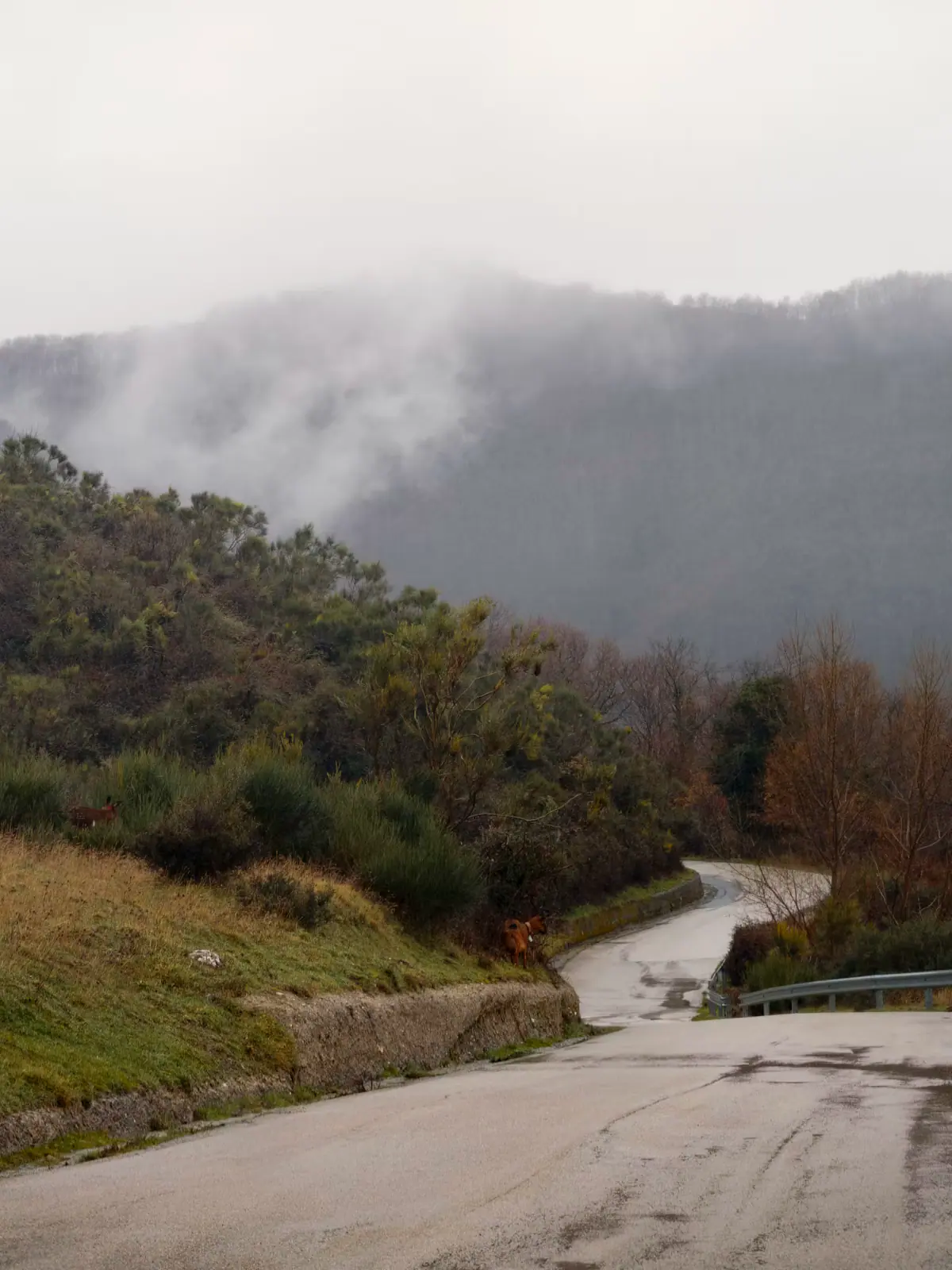
This is a wet corner of Georgia. Annual precipitation here averages around sixty inches, considerably more than Atlanta, and summer afternoons build thunderstorms over the ridges with very little warning. Winter brings fog that sits in the valleys until mid-morning and, at cabin elevations, occasional ice on roads the county is not going to grit.
The practical effects are worth planning for rather than being surprised by. Gravel driveways wash and get slick. Mobile signal is unreliable across much of the county and effectively absent in some coves, so download your maps before you leave the tarmac and do not assume you can look up an address from the car. Power flickers in storms, and a cabin with a well has no water when the power is out.
Treat all of it as packing advice rather than as discouragement. Arrive with a full tank, an offline map of the whole county, a torch, and one indoor plan you actively want to do rather than one you are settling for.
On the ground
Every place below has its own page — hours, parking, what it costs and what to expect when you get there.

Twenty-six miles of river running to a town cut in half by a state line, in an open-sided coach with the windows down.
2–5 hoursTicketed. Fares vary by coach class, trip length and season.
Photograph: Thomson200

A fourth-generation apple farm with a bakery, a hard cider house and, on an October Saturday, a car park like a county fair.
1–3 hoursFree to visit the market, bakery and cider house. U-pick and tastings are charged.
Photograph: Thomson200

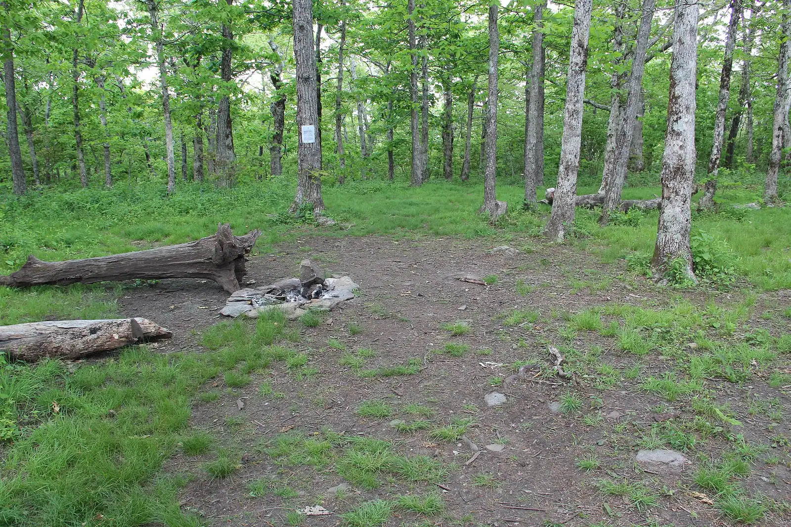
The Appalachian Trail's first white blaze sits at 3,770 feet, about an hour of mountain road from a Blue Ridge cabin.
1.5–7 hoursFree. No entry fee, no parking charge, no facilities.
Photograph: Thomson20192

Georgia's tallest waterfall at 729 feet, about an hour south, with a staircase of six hundred-odd steps up the side of it.
1.5–5 hoursGeorgia state park daily parking pass per vehicle; annual passes available.
Photograph: Thomsonmg2000

Thirty-three hundred acres of cold green water with national forest around most of it, and a level that TVA moves by dozens of feet a year.
1.5–8 hoursFree to look at and to fish from public land. Recreation areas and ramps may charge.
Photograph: Thomson200

One river, two personalities: a lazy summer float above the lake, and a cold tailwater below the dam that fishes all year.
2–7 hoursFree to access. Forest Service recreation areas charge a day-use parking fee, and rentals and shuttles are extra.
Photograph: Thomson200

Four blocks of shopfronts facing a working railway depot, small enough to walk twice and busy enough to need a parking plan in October.
1–4 hoursFree. Street parking is free and scarce on peak weekends.
Photograph: Thomson M

The same water as the Toccoa, over the state line and released from a dam: class III-IV rafting about an hour from a Blue Ridge cabin.
4–8 hoursThe river corridor is free to visit; commercial rafting is booked and paid per person.
Photograph: Thomson200

Open since 1955 on a field above town: double features, sound through the car radio, and a diner that keeps the place alive.
2.5–5 hoursPaid admission per person for a double feature. Entering for the second film only costs the same.
Photograph: Harrison Keely

A Georgia town of about 1,150 people that shares its high street, its river and its bridge with a different state.
1–3 hoursFree. Walking to the state line and the river costs nothing.
Photograph: Unknown authorUnknown author or not provided

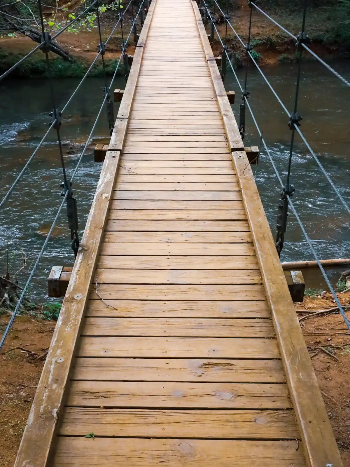
A cable footbridge that genuinely sways, hung over the Toccoa on the Benton MacKaye Trail, at the end of a gravel forest road.
0.5–4 hoursFree. No fee, no gate, no facilities.
Photograph: Unsplash

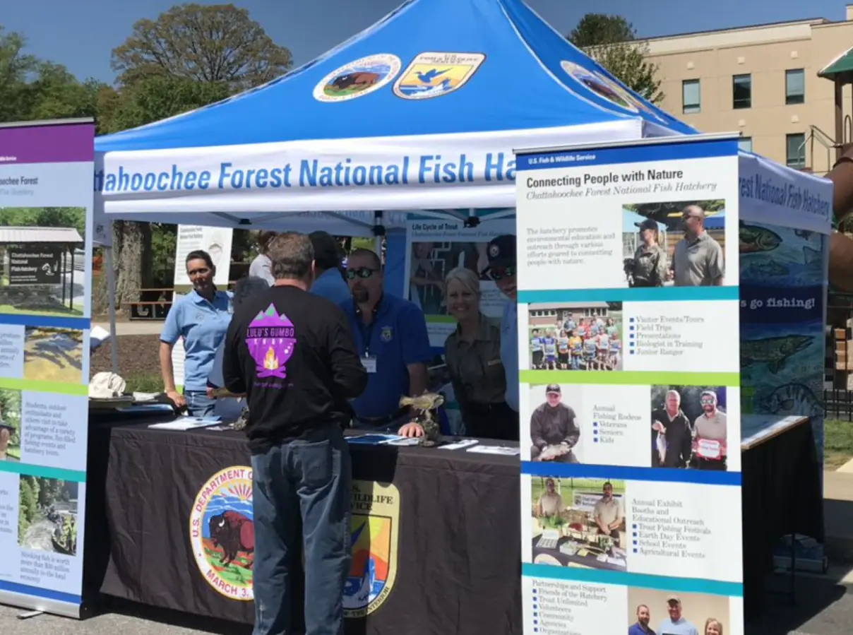
Around 106,000 acres of public land in Fannin County alone, almost none of it signposted, gated or supervised in the way visitors expect.
2–8 hoursFree to enter. Developed campgrounds and some day-use areas charge a fee.
Photograph: USFWS

A ridge of Forest Service singletrack wedged between the lake and the river, and the closest real hiking to most Blue Ridge cabins.
1.5–6 hoursFree. No permit, no parking fee, no facilities.
Photograph: Unsplash

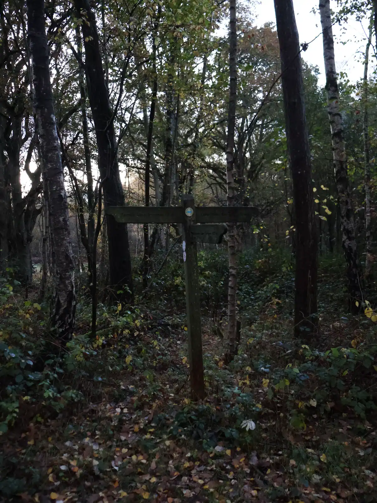
The quieter long trail: 300 miles from Springer Mountain to the Smokies, and the one that actually runs through Fannin County.
1–8 hoursFree. No permit required for day walking, no facilities on the trail.
Photograph: Unsplash

Georgia's best-known wild trout creek, where the 16-inch size limit means almost everything you catch goes back.
3–8 hoursFree to access. A Georgia fishing licence and trout licence are required to fish.
Photograph: Scott Long

Nearly 37,000 acres of designated wilderness on the county's western edge: no blazes, no signal and dozens of river crossings.
5–10 hoursFree. No entrance fee, no facilities and no staffed access point.
Photograph: Unsplash

A broad, stepped falls a few minutes off the Appalachian Trail, reached by a forest road that does most of the work of keeping it quiet.
2–4 hoursFree. No fee, no facilities, no waste collection.
Photograph: Frances Long Taylor

The public way onto Lake Blue Ridge: a small sand beach, 42 forest campsites and a ramp, in a village that used to run the county.
2–5 hoursDay-use parking fee per vehicle; camping charged per night.
Photograph: Thomson200

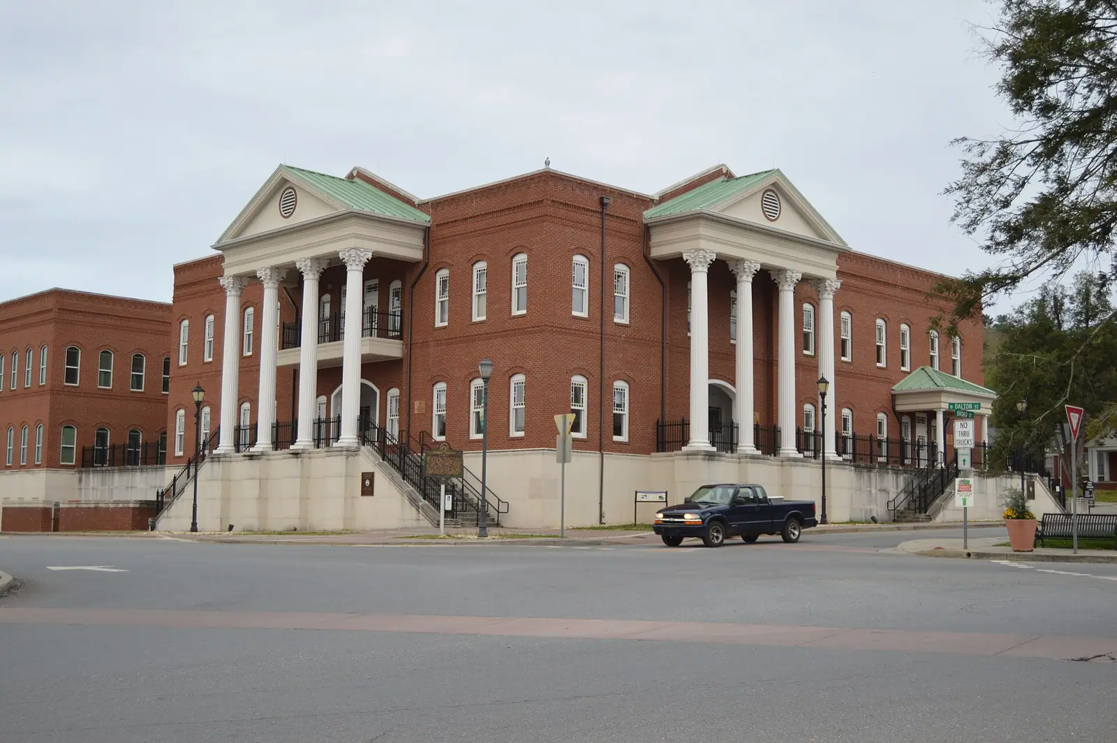
The Apple Capital of Georgia: a courthouse square, two rivers meeting, and orchards that turn the whole county into a queue in October.
2.5–6 hoursFree to visit. Orchards charge for fruit and for u-pick by weight.
Photograph: Nyttend

The closest real waterfall to a Blue Ridge cabin: a few hundred yards down the Benton MacKaye Trail, all of it downhill on the way in.
0.5–1.5 hoursFree. No fee, no facilities, and very limited verge parking.
Photograph: Thomson20192

The lake's main rental and fuel point, sitting near the dam on a reservoir whose level TVA changes by dozens of feet a year.
2–8 hoursBoat rental, fuel and slips are charged. Looking at the lake is free.
Photograph: Thomson200

The Tennessee half of the twin towns, and the edge of a copper basin that was stripped to bare red clay and then replanted.
1–2 hoursFree. Walking the town, the bridge and the river bank costs nothing.
Photograph: Thomson20192

The Forest Service put-in at the head of a 13.8-mile river trail, forty minutes up the Toccoa valley from Blue Ridge.
2–8 hoursDay-use parking fee; camping charged per night.
Photograph: Unsplash

Casts, field recordings and expedition kit on Highway 515: the county's most reliable hour indoors when the weather turns.
1–1.5 hoursAround $9 adults and teens, $6 children 5-12, under 5s free.
Photograph: Unsplash

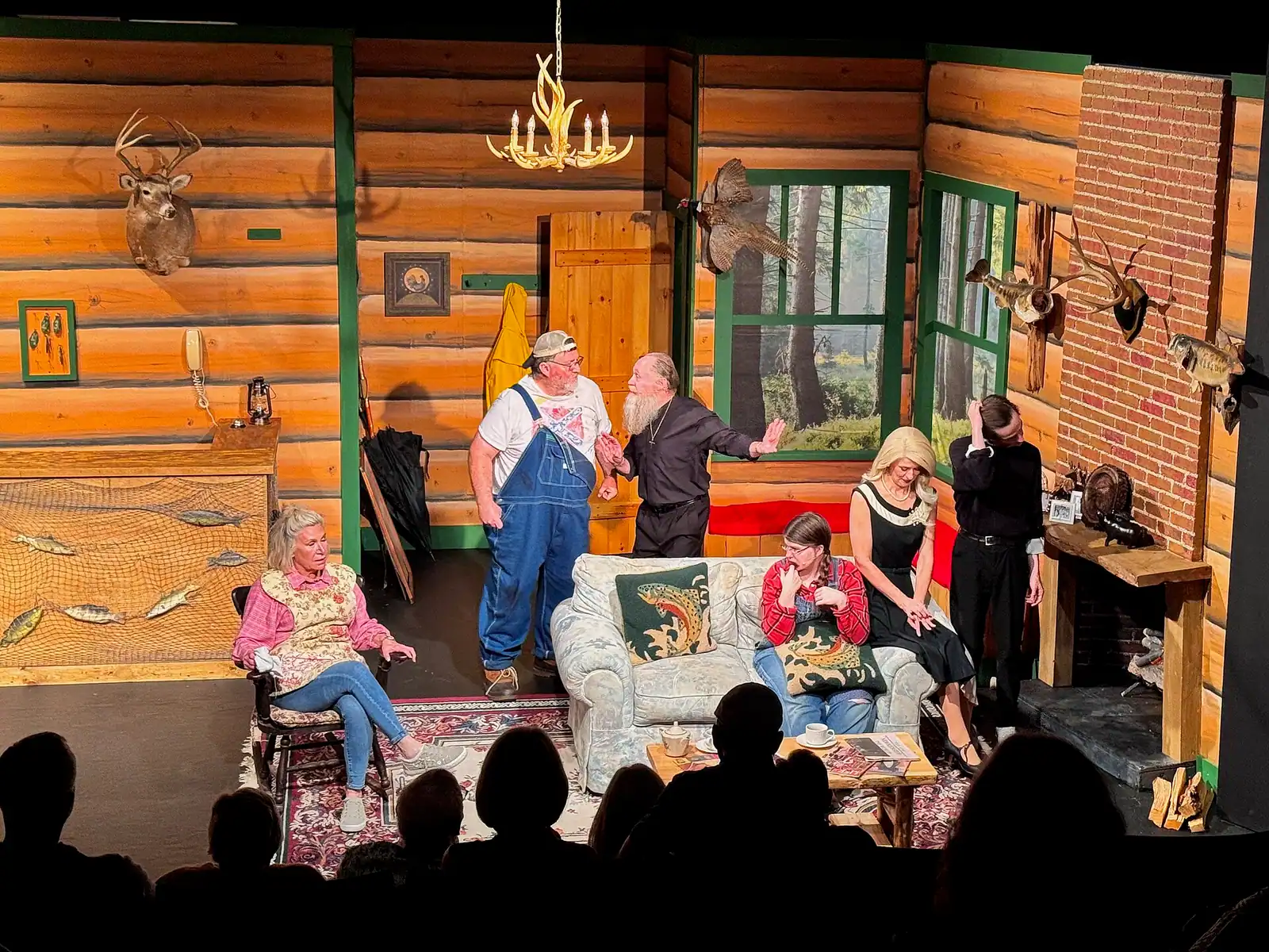
A volunteer theatre with three separate spaces, in its twenty-eighth season, five minutes from the depot.
2–3 hoursPaid tickets by production, sold through the theatre's box office.
Photograph: Harrison Keely

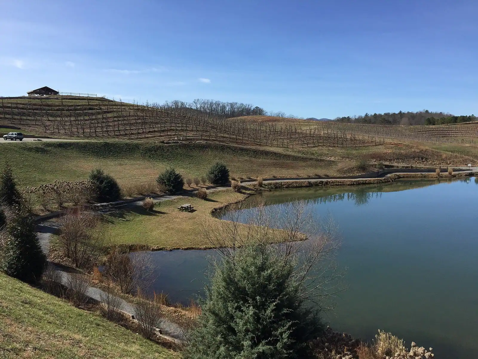
Small-batch wine and mead from the ridges above Blue Ridge, in a county that is a long way from Georgia's established wine country.
1–2 hoursTastings charged per flight; bottles sold at the door.
Photograph: Thomson M
Straight answers
No, and the two have nothing to do with each other. The Blue Ridge Parkway is a National Park Service road running through Virginia and North Carolina, hours away. Blue Ridge, Georgia is a town of about 1,250 people in Fannin County in the southern Appalachians, roughly 90 miles north of Atlanta. They share a mountain range name and nothing else. Anything you read about the Parkway does not apply to this trip.
Two nights is the standard trip and three is better. The limiting factor is not the number of things to do, it is the driving between them: most attractions sit fifteen to forty-five minutes apart on winding two-lane roads. A Friday-to-Sunday weekend comfortably covers the scenic railway, one outdoor half day and an evening in town. Adding a third night is what lets you reach the swinging bridge, the Ocoee or Springer Mountain without rushing.
The Blue Ridge Scenic Railway, by a wide margin. It runs a 26-mile round trip from the depot on Depot Street along the Toccoa River to McCaysville, Georgia and Copperhill, Tennessee, with roughly a two-hour layover in the twin towns before the return. The full trip takes about four hours. It is the county's most booked experience and autumn dates go early, so reserve before you plan the rest of the weekend.
About 90 to 95 miles, which is usually somewhere near two hours by car. The route is GA 515, the four-lane Appalachian Highway, through Jasper and Ellijay, then into town on GA 5. Friday evening traffic leaving Atlanta and Sunday afternoon traffic returning are both significantly slower, and in peak leaf season the last stretch into Blue Ridge can crawl. Leaving early on Friday is worth real time.
Yes. There is no public transport of any use to a visitor, almost every cabin is up an unlit county or forest road, and the attractions are spread across a large rural county. Rideshare coverage is thin and cannot be relied on to get you back up a mountain at night. Downtown Blue Ridge itself is walkable once you are parked, but reaching it, the orchard, the lake or any trailhead requires driving.
Typically in the second half of October at these elevations, with higher ground turning first and the valleys following into early November. The date moves year to year with summer rainfall and the timing of the first cold nights, so nobody can promise a weekend. Check the Chattahoochee-Oconee National Forest's fall colour updates and the Georgia State Parks leaf reports in the fortnight before you travel, and book your cabin long before that.
Yes, and it is the best time for the water. The Toccoa is warm enough to tube from roughly June into early September, Lake Blue Ridge is at full summer pool, and the orchard moves through strawberries, blueberries, blackberries and peaches before the apples. It is humid, and thunderstorms build over the ridges most afternoons. Summer is busy but nothing like the second half of October.
Yes. There is no lifeguard, and the usual reservoir cautions apply: cold water below the surface layer, submerged timber in places, and boat traffic in the main channel at weekends. Morganton Point on the north shore is the established swimming area. Be aware that the TVA draws the lake down by roughly twenty feet over winter, so from late autumn to spring the shoreline you saw in photographs is well above the water.
More than you would guess for a town this size. Downtown Blue Ridge is two blocks of indoor shopping and galleries beside the depot, the enclosed carriages on the scenic railway run in rain, and Mercier Orchards' market, bakery and cider house are all under cover. Beyond that, the honest answer is that a wet day in Fannin County is what the cabin is for: the wood stove, the hot tub and a book are the point, not the consolation.
It runs across the pavement in the middle of the twin towns of McCaysville, Georgia and Copperhill, Tennessee, which sit either side of the Georgia-Tennessee border and function as one small town. Standing with a foot in each state and photographing it is the traditional thing to do, and it is the main event of the scenic railway's layover. The same line is where the Toccoa River becomes the Ocoee.
Yes. Fannin County sits inside north Georgia's black bear range, and bears regularly work the edges of cabin developments. They are not a reason to stay home, but they are a reason to take rubbish indoors overnight, keep grills clean, never leave food or coolers on the deck, and not put a bin bag out the night before. If your cabin has a bear-proof bin, use it. Feeding a bear, deliberately or by carelessness, is how it ends up dead.
It is one of the gentler introductions. The drive from Atlanta is short, the roads to town are good, there is a real Main Street with somewhere to eat, and the headline attraction is a four-hour train ride that requires nothing of you. The part first-timers underestimate is the last mile: cabin driveways are often steep gravel, signal drops, and a supermarket run can eat an hour. Book a cabin close to town on the first visit.