Skip to content
Search
Menu

These bookings pay us a commission through Viator. Your price does not change, and neither did our picks because of it.

Water feature

Ocoee River

Last updated

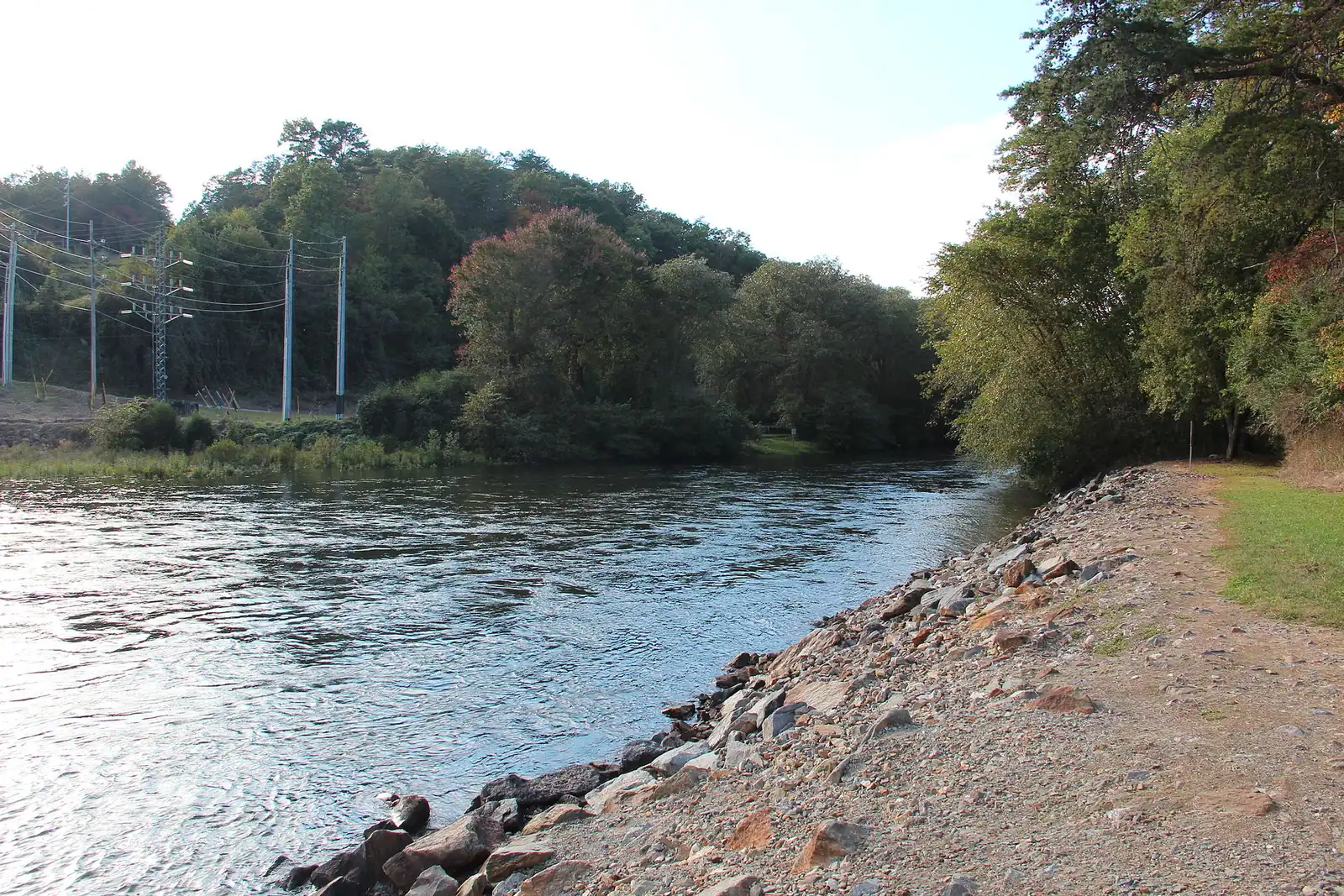
The same water as the Toccoa, over the state line and released from a dam: class III-IV rafting about an hour from a Blue Ridge cabin.

Photo: Thomson200CC0

Closed at the moment

On non-release days the rafting section of the riverbed is largely dry. Confirm the current release calendar before planning a day around it.

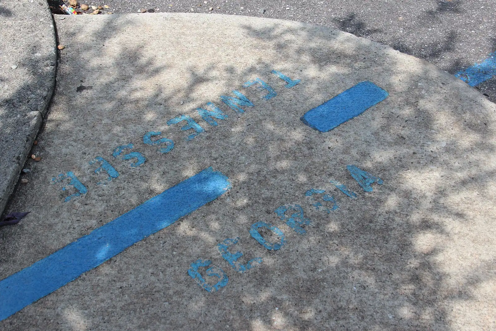
Drive north out of Blue Ridge, through McCaysville and across the painted state line into Copperhill, and the river you have been looking at all week changes its name. The Toccoa becomes the Ocoee at that bridge. Twenty-odd miles further into Tennessee it becomes one of the most heavily rafted whitewater rivers in the world, with over five million people through it.

The transformation is entirely artificial, and understanding that is the difference between a good day and a wasted drive. TVA's Ocoee Dam No. 2 diverts the river into a wooden flume that runs along the gorge wall to a powerhouse. For most of the time, the famous riverbed is a dry boulder field. Whitewater exists only when the dam is opened on a published recreational release schedule, generally weekends from spring into autumn with more days in high summer.

There are two runs. The Middle Ocoee is the classic: about five miles of continuous class III to IV with roughly twenty named rapids, and the one nearly every commercial trip does. The Upper Ocoee is shorter, steeper and includes the course built for the 1996 Olympic canoe slalom, the only time an Olympic slalom has been held in a real river rather than an artificial channel. The Upper runs on far fewer days, around thirty-four a year, mostly summer weekends.

From Blue Ridge, the drive is roughly an hour depending on which put-in your outfitter uses. That makes it a full-day commitment with travel, changing and the shuttle back, not an afternoon.

The Ocoee is not the Toccoa with more water. It is a different proposition: helmets, guides, a safety talk that is not decorative and a genuine minimum age.

Getting there and parking

From Blue Ridge, take GA-5 north through McCaysville, cross the state line into Copperhill, then head west on US-64 along the Ocoee Scenic Byway. Allow roughly an hour to the main outfitter cluster in the gorge.

On a release-day morning US-64 carries every raft bus in the area and moves slowly, so leave earlier than the map suggests.

Outfitters run their own shuttles between check-in, put-in and take-out, so you park once and leave the car.

There is no public transport of any kind on this route. The nearest fuel and food in quantity are back in McCaysville and Copperhill rather than in the gorge itself.

The release schedule is the whole thing

There is no whitewater on the Ocoee unless TVA has scheduled a release. This is not a river that is high after rain and low in drought. It is a switch.

Ocoee Dam No. 2 sends the river down a flume to generate power, and the rafting section sits below that diversion. On release days the water goes back into the riverbed; on other days, it does not. Releases follow a published annual calendar, concentrated on weekends from around March into autumn with additional weekday releases in the high season. The Upper Ocoee, including the Olympic course, runs on far fewer days than the Middle.

Practical consequences. Book your trip and then build the rest of the week around it, not the other way round. A Tuesday in April may have no water at all. And if you simply want to look at the gorge rather than raft it, going on a non-release day means looking at rocks.

The calendar is issued annually and does change. Confirm the date with your outfitter and treat any schedule you read months in advance as provisional.

Middle Ocoee or Upper Ocoee

Middle Ocoee. Around five miles, class III to IV, with roughly twenty named rapids and very little flat water between them. It is the standard commercial run and the one to book if you are doing this once. Continuous, busy, loud and genuinely exciting without being frightening for a fit adult who can swim.

Upper Ocoee. Shorter and steeper, running through the 1996 Olympic slalom course: a section of riverbed narrowed by roughly two-thirds to concentrate the water, dropping thirty-seven feet over about a third of a mile. It runs on far fewer days, and many outfitters sell it combined with the Middle as a full-river day.

Full river. Upper plus Middle, usually five or so hours on the water. It is a long day and the better value if you are driving an hour to get there.

For first-timers with children of minimum age, the Middle on its own is the right answer. For anyone who has rafted before, the full river is why you came.

Minimum ages and weights differ by company and by section, and they are enforced. Check when booking, not at the bus.

Getting there from Blue Ridge

The route runs north on GA-5 through McCaysville, across the state line at Copperhill, then west on US-64 along the Ocoee Scenic Byway into the gorge. Reckon on about an hour to the main outfitter cluster, a little less or more depending on the put-in.

US-64 through the gorge is a genuinely handsome road and also a slow one on a release-day morning, when every raft bus in southeast Tennessee is on it. Leave time.

Remember that you are crossing a state line. Tennessee keeps the same clock as Georgia here, so no time change, but a Georgia fishing licence does not travel and neither does anything else state-specific.

Check-in times are early, usually well before the release starts, because outfitters have to run safety briefings and shuttle buses.

Bring dry clothes and a towel for the drive home, and shoes that strap on. Flip-flops leave the river without you.

The Ocoee Whitewater Center on US-64 is worth a stop for the Olympic course itself; its visitor building burned in 2022 and the day-use area has since reopened, so facilities there are reduced.
Why the river changes its name at the state line

It is the same water. The Toccoa rises in Union County, Georgia, runs north-west for fifty-six miles through Fannin County, and crosses into Tennessee at McCaysville and Copperhill, where the name becomes Ocoee. The combined river runs ninety-three miles before joining the Hiwassee.

Both names are Cherokee. Ocoee is generally traced to a word associated with the passionflower; Toccoa is read either as a reference to the Catawba or simply as beautiful.

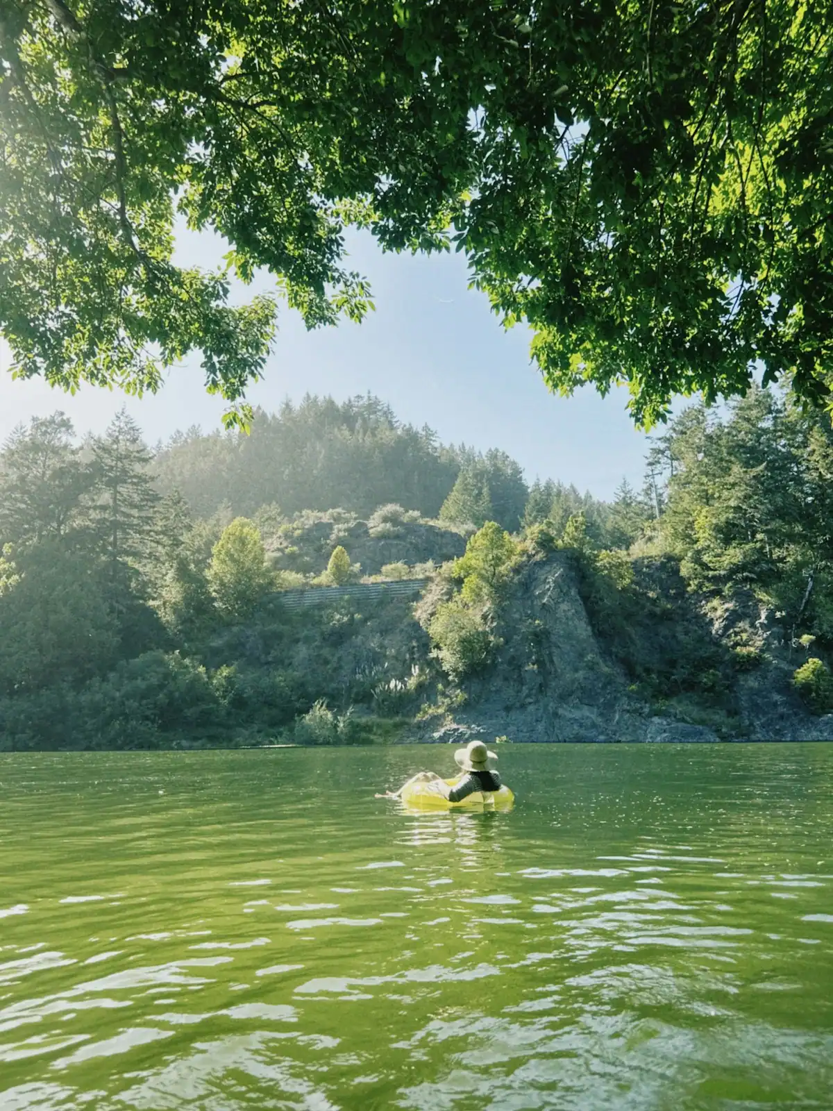
The practical point for a cabin holiday is that the two halves of one river offer completely opposite days out. Above Blue Ridge Dam, the Toccoa is a warm shallow float you do in a rubber ring. Below the dam it is a cold trout tailwater. Over the line in Tennessee, released from a different dam entirely, it is class IV whitewater with a guide shouting at you.

Nobody in Fannin County refers to the Ocoee as a local river, and they are right not to: the rafting is a Tennessee industry with its own towns and its own economy. From a Blue Ridge cabin, it is the best day trip in the region.

Near The Ocoee

Straight-line distances, so allow more on the road — the island is long and has one main parkway.

  • A river running through the middle of a small town beside a road bridge
    Neighbourhood

    McCaysville

    Free

    A Georgia town of about 1,150 people that shares its high street, its river and its bridge with a different state.

    1–3 hoursFree. Walking to the state line and the river costs nothing.7.7 mi away

    Photograph: Unknown authorUnknown author or not provided

  • A road bridge over a river with town buildings clustered on the far bank
    Neighbourhood

    Copperhill

    Free

    The Tennessee half of the twin towns, and the edge of a copper basin that was stripped to bare red clay and then replanted.

    1–2 hoursFree. Walking the town, the bridge and the river bank costs nothing.7.6 mi away

    Photograph: Thomson20192

  • A shallow river running over rock ledges between steep banks of dense forest
    Water feature

    Toccoa River

    Free

    One river, two personalities: a lazy summer float above the lake, and a cold tailwater below the dam that fishes all year.

    2–7 hoursFree to access. Forest Service recreation areas charge a day-use parking fee, and rentals and shuttles are extra.23.2 mi away

    Photograph: Thomson200

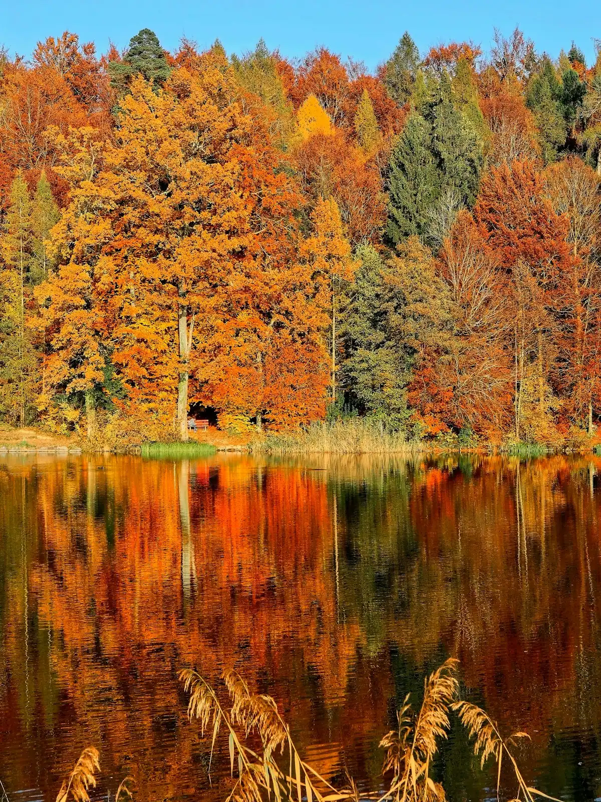
  • Still lake water holding the reflection of a wooded shoreline in autumn colour
    Landmark

    Blue Ridge Dam

    Free

    A 167-foot earth dam from 1931 that made the lake, chilled the river below it and set the rhythm of the whole county.

    0.5–1 hoursFree. No visitor centre, no tours and no facilities at the dam.16.5 mi away

    Photograph: Chief Mass Communication Specialist Scott Curtis, U.S. Navy

The Ocoee: common questions

How far is the Ocoee River from Blue Ridge, Georgia?

About an hour, north on GA-5 through McCaysville, over the state line at Copperhill, then west on US-64 through the gorge. It is the nearest serious whitewater to Blue Ridge and comfortably a day trip, but it is a day trip: with check-in, safety briefing, the run itself and the shuttle back, most people are away from the cabin for five to seven hours.

Does the Ocoee River always have water in it?

No, and this catches people out. TVA's Ocoee Dam No. 2 diverts the river into a flume to generate power, leaving the rafting section largely dry except on scheduled recreational release days. Those follow a published annual calendar, generally weekends from spring into autumn with more days in high summer. Book your trip around the release schedule; a weekday outside the season may have no whitewater at all.

What is the difference between the Middle and Upper Ocoee?

The Middle is the classic commercial run: around five miles of near-continuous class III to IV with roughly twenty named rapids. The Upper is shorter and steeper and includes the course built for the 1996 Olympic canoe slalom, a narrowed section dropping thirty-seven feet, and it runs on far fewer days each year. Many outfitters sell both together as a full-river day, which is the better value if you have driven an hour to get there.

Is the Ocoee the same river as the Toccoa?

Yes. It is one waterway that changes name at the Georgia-Tennessee line, at the bridge between McCaysville and Copperhill. Fifty-six miles of it are the Toccoa in Georgia; the rest is the Ocoee in Tennessee, running ninety-three miles in total before joining the Hiwassee. Both names are Cherokee. The gentle tubing water above Blue Ridge and the class IV whitewater in the Tennessee gorge are the same river under different management.

Was the Ocoee used in the Olympics?

Yes. The Upper Ocoee hosted the canoe slalom events of the 1996 Atlanta Games, and it remains the only in-river course ever used for Olympic slalom; every other Games has used a purpose-built artificial channel. The riverbed was narrowed by roughly two-thirds over about a third of a mile to concentrate the flow. The Ocoee Whitewater Center on US-64 sits beside it, though its visitor building was destroyed by fire in 2022 and facilities there are reduced.