Skip to content
Search
Menu

These bookings pay us a commission through Viator. Your price does not change, and neither did our picks because of it.

Neighbourhood

Copperhill

Last updated

The Tennessee half of the twin towns, and the edge of a copper basin that was stripped to bare red clay and then replanted.

Photo: Thomson20192CC0

Copperhill is a town of about 440 people in Polk County, Tennessee, sharing a downtown, a river and a bridge with McCaysville, Georgia. Visitors from Blue Ridge usually experience it as the far half of the state line photograph. It deserves a few minutes more than that, because of what is behind it.

This is the edge of the Copper Basin, and for roughly a century and a half from the 1840s it was one of the more consequential industrial districts in the American South. Copper was mined here and smelted here, and the early smelting method was to roast the ore in open heaps over wood fires. That took the timber first. The sulphur dioxide from the roasting then killed whatever tried to grow back, and the rain carried the acid into the soil and the creeks. The result was a bare red landscape of something like fifty square miles, visible from space, with no trees, no topsoil and effectively no life in the water.

Mining ran until 1987. Serious reforestation began in the 1980s, and successor companies have spent decades on the replanting and on cleaning the creeks. The basin today is green again, and the transformation is recent enough that people who live here remember the before. Standing on the bridge, you are looking at one of the larger deliberate landscape repairs in the country.

The river below you is the Ocoee, which was the Toccoa until it crossed the state line a few yards upstream. Further downstream it becomes dam-released whitewater and hosted the 1996 Olympic canoe and kayak events, which is why every raft trailer you pass on the road is heading that way.

Copperhill itself is small, quiet and worth a walk. Do not arrive expecting a museum town.
Getting there and parking

Copperhill is across the line from McCaysville and you reach it on foot from there in under two minutes. If you arrive on the Blue Ridge Scenic Railway, the walk from the train to Tennessee is genuinely shorter than the walk from most car parks to a shop.

By car from Blue Ridge, take GA-5 north for about 25 minutes and keep going over the line. From Chattanooga it is roughly an hour and a half through the Ocoee gorge, which is a fine drive in its own right and slow behind raft trailers in summer.

Parking is on-street and free on both sides of the boundary. Note that both towns keep Eastern time, so crossing between states here does not change your clock, which surprises people who expect Tennessee to be on Central.

Fuel prices and sales tax differ either side of the line, which is worth a glance if you are filling up.

What happened to the ground here

The sequence is worth understanding because it explains everything you can see.

Copper ore was found in the basin in the 1840s and mining followed quickly. The smelting technique of the period involved stacking ore on beds of cordwood in the open and roasting it for weeks. Each roast consumed an enormous quantity of timber, and the operation consumed the forest for miles around within a couple of decades.

That alone would have been recoverable. What made it permanent was the sulphur. Roasting sulphide ore releases sulphur dioxide, and in the open that goes into the air and comes down as acid. Seedlings died. Topsoil, no longer held, washed into the creeks, which acidified in their own right and stopped supporting fish.

By the early twentieth century the basin was a red desert of gullied clay, and it stayed that way within living memory. Photographs from the period look like another planet.

Mining ended in 1987. Replanting had begun in the preceding years and continued at scale, with loblolly pine going in first because it would take, and hardwood following. Stream remediation has run for decades. The green you are standing in is roughly forty years old and was engineered.

What there is to see on foot

Copperhill is small. An hour covers it comfortably, and an hour is more than most train passengers give it.

  • The bridge over the Ocoee. The best single viewpoint in the twin towns, looking up at the low dam on the Georgia side and down towards Tennessee. Both towns are in the frame.
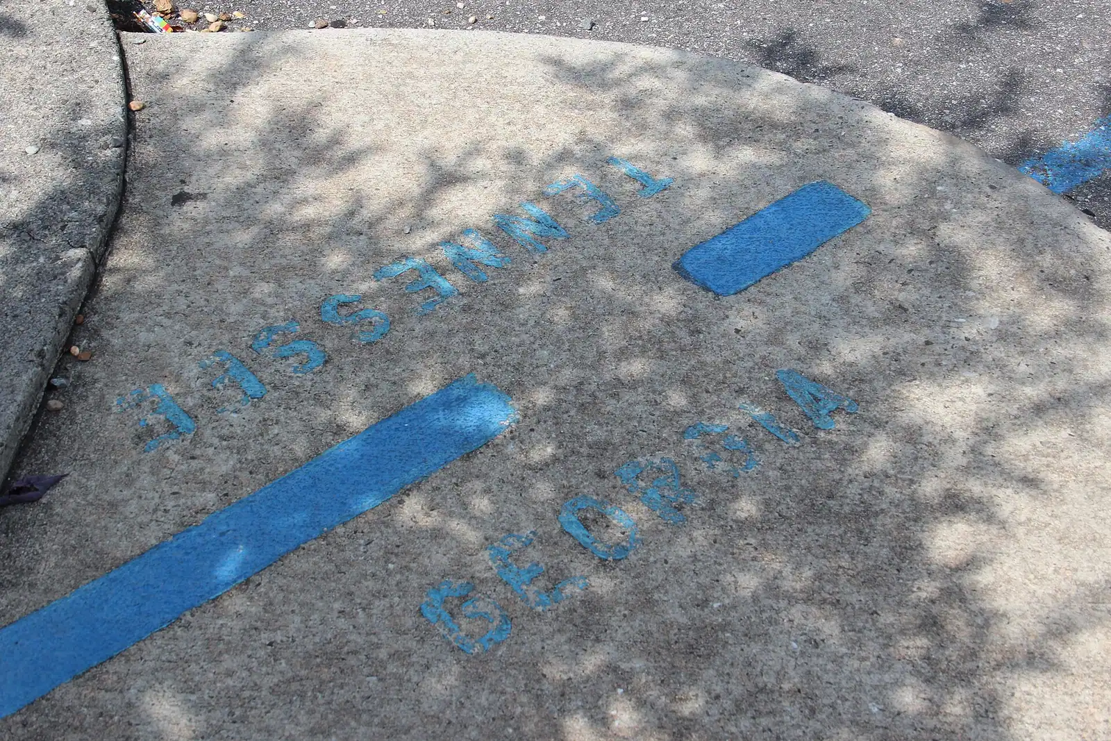
  • The state line itself, which runs through the shared downtown rather than along the river, so half of what looks like Copperhill from a distance is legally Georgia.
  • The street frontage. The old commercial buildings here are a different stock from those in Blue Ridge: built for a company town rather than a tourist one, and it shows in the proportions.
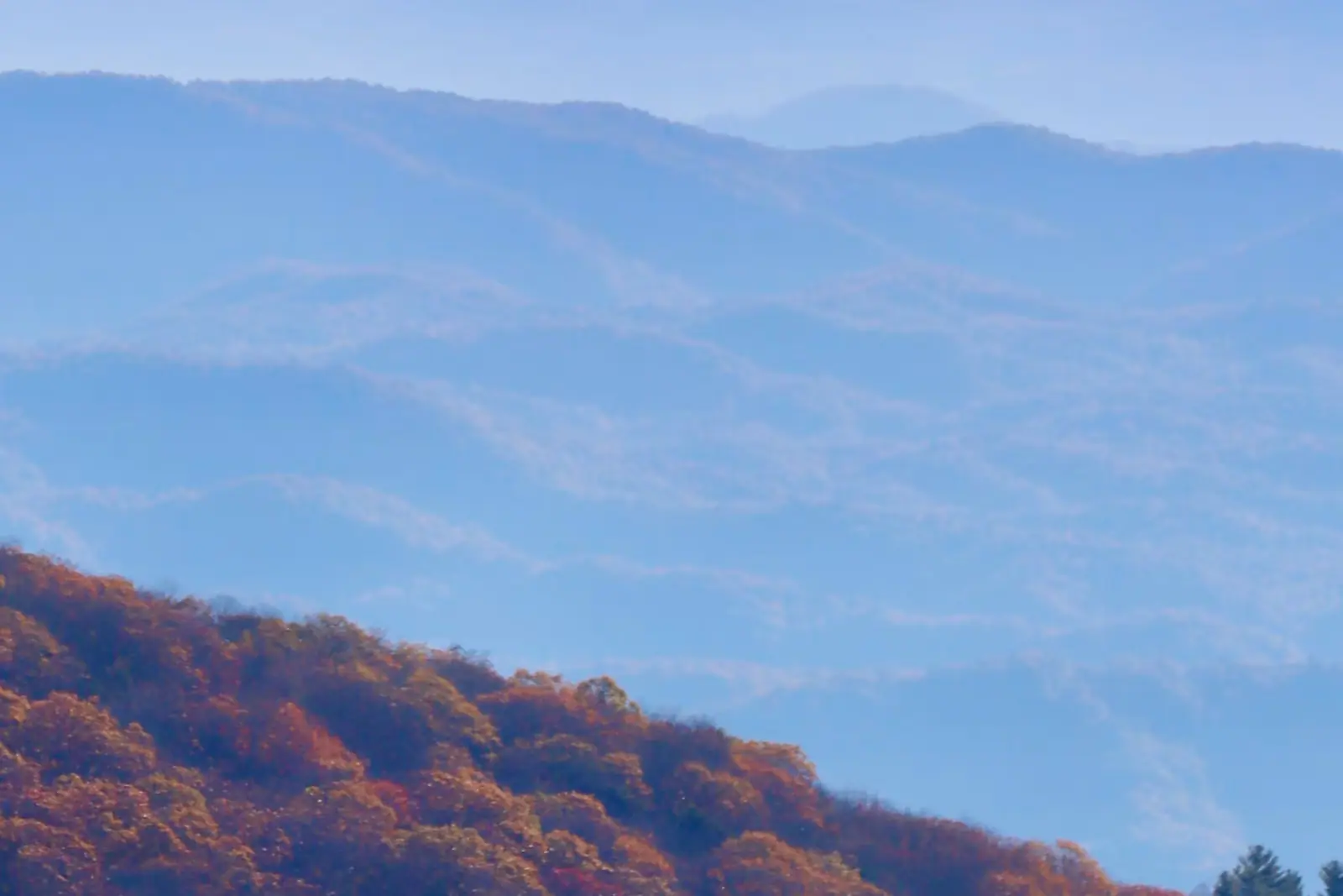
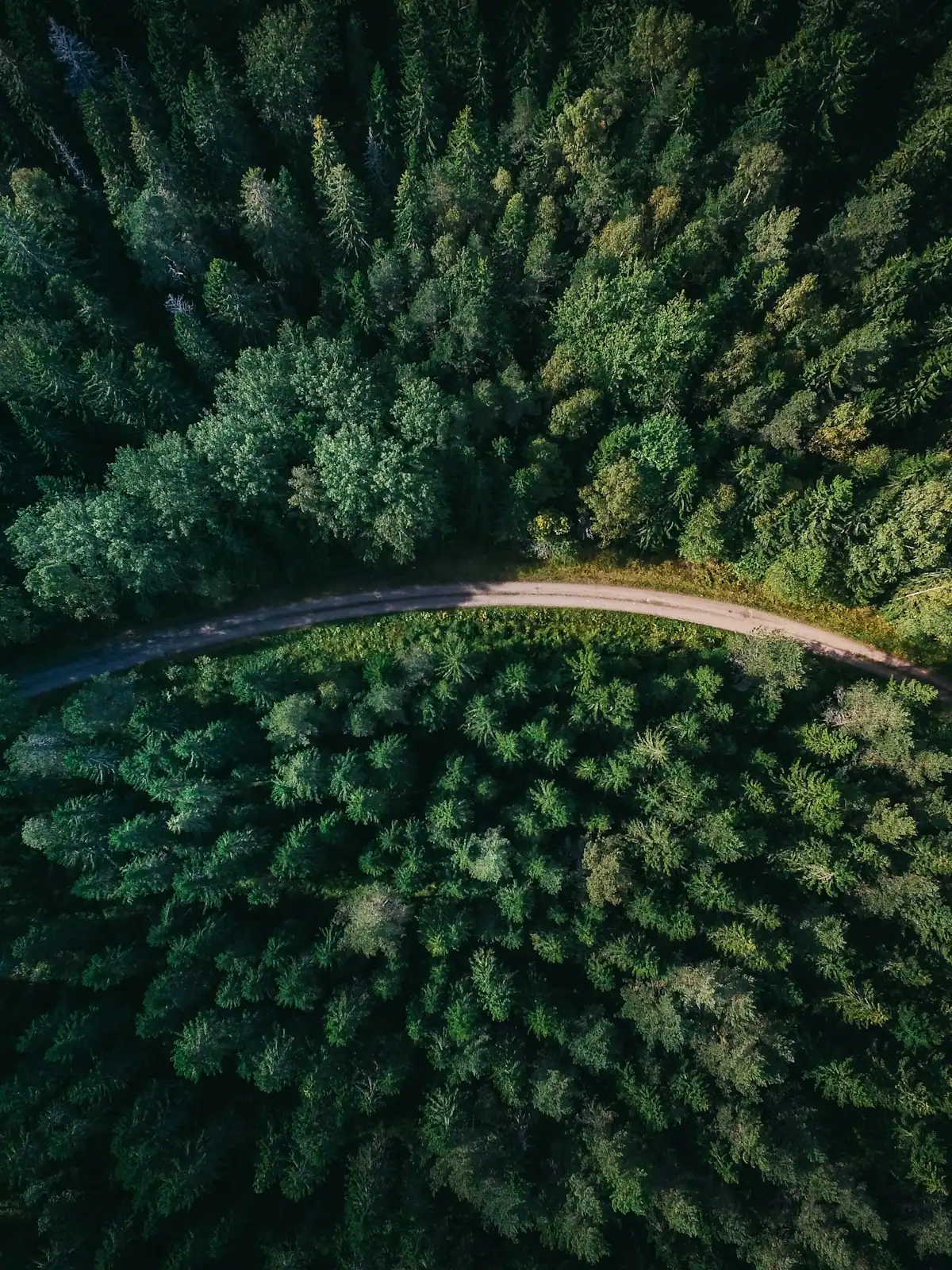
  • The hillsides. Look up rather than along. The uniform age and species of the pine on the slopes is the visible signature of a planted forest rather than a natural one, and once you notice it you cannot unnotice it.
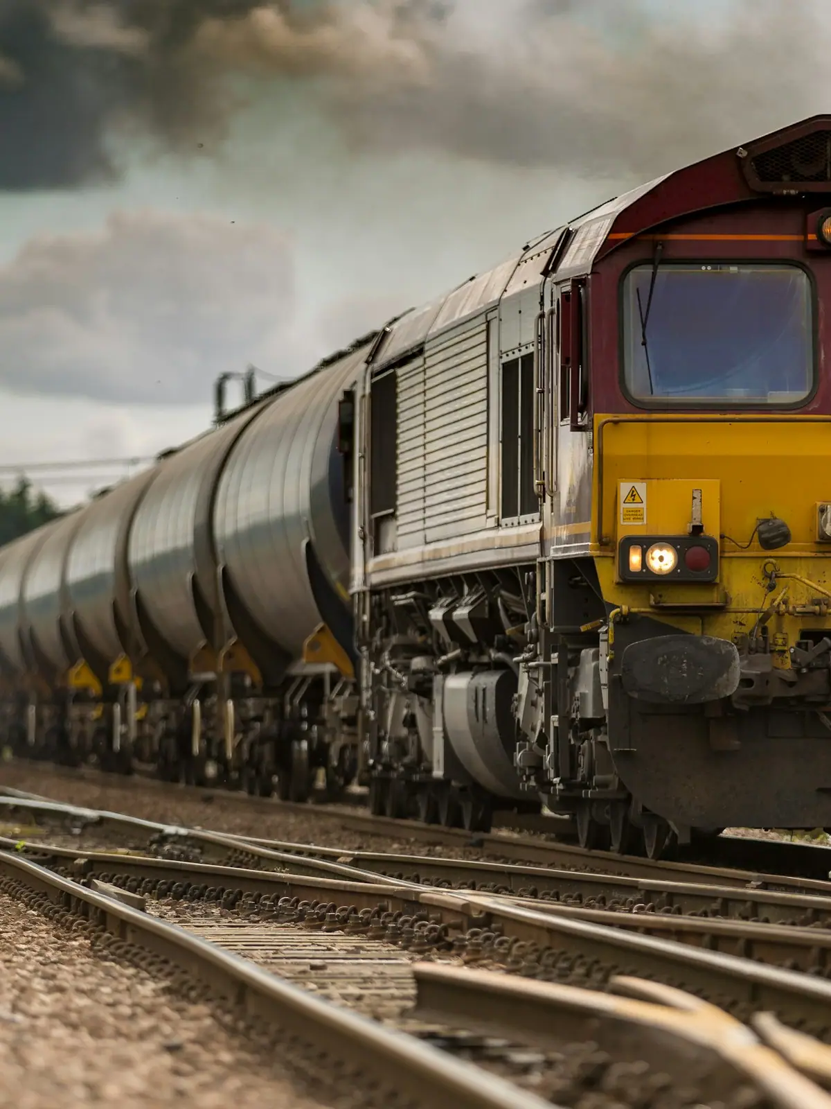
  • The railway. The same corridor the excursion train runs on continues north from here as freight, and Copperhill was a rail junction long before it was anything to do with tourism.

Facilities are limited and hours are short. Plan on eating in McCaysville if you are on a train clock.

The Ocoee, and why the rafts go the other way

The river through Copperhill is the same water that leaves Lake Blue Ridge, but it has a different name and, a few miles downstream, a completely different reputation.

Above the state line it is the Toccoa: cold, clear and gentle, a tubing and trout river. Below Copperhill it is the Ocoee, and the sections downstream carry scheduled dam releases through a steep gorge. That is the whitewater that hosted the 1996 Olympic canoe and kayak events, and it is the nearest serious rafting to Blue Ridge, run commercially through the release season.

Two practical consequences for a visitor based in a Blue Ridge cabin.

If you want whitewater, it is here, in Tennessee, roughly an hour from Blue Ridge depending on which put-in, and it runs on a release schedule rather than on demand. Book with an outfitter and check the release calendar, because a river without a release is a riverbed.

If you want a float rather than a fight, stay in Georgia. The Toccoa above the line is the tubing river, and the stretch below Blue Ridge Dam is the popular one.

Nothing about the Ocoee is beginner-friendly water to attempt privately. Use an outfitter.

Near Copperhill

Straight-line distances, so allow more on the road — the island is long and has one main parkway.

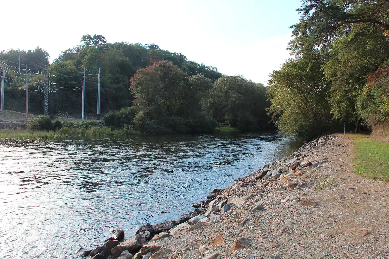
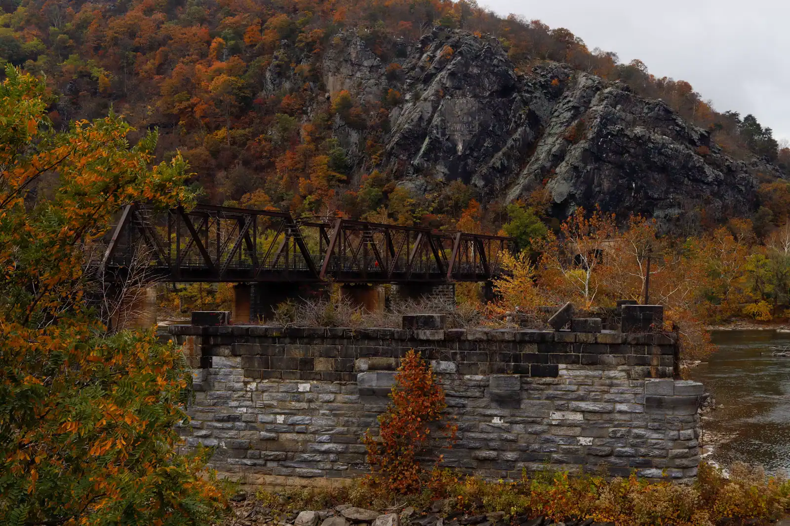
  • A river running through the middle of a small town beside a road bridge
    Neighbourhood

    McCaysville

    Free

    A Georgia town of about 1,150 people that shares its high street, its river and its bridge with a different state.

    1–3 hoursFree. Walking to the state line and the river costs nothing.0.2 mi away

    Photograph: Unknown authorUnknown author or not provided

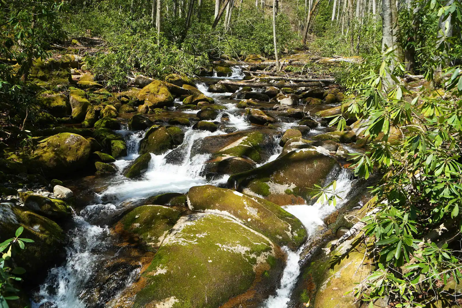
  • A raft of paddlers in helmets dropping through a wall of white water between boulders
    Water feature

    Ocoee River

    Free

    The same water as the Toccoa, over the state line and released from a dam: class III-IV rafting about an hour from a Blue Ridge cabin.

    4–8 hoursThe river corridor is free to visit; commercial rafting is booked and paid per person.7.6 mi away

    Photograph: Thomson200

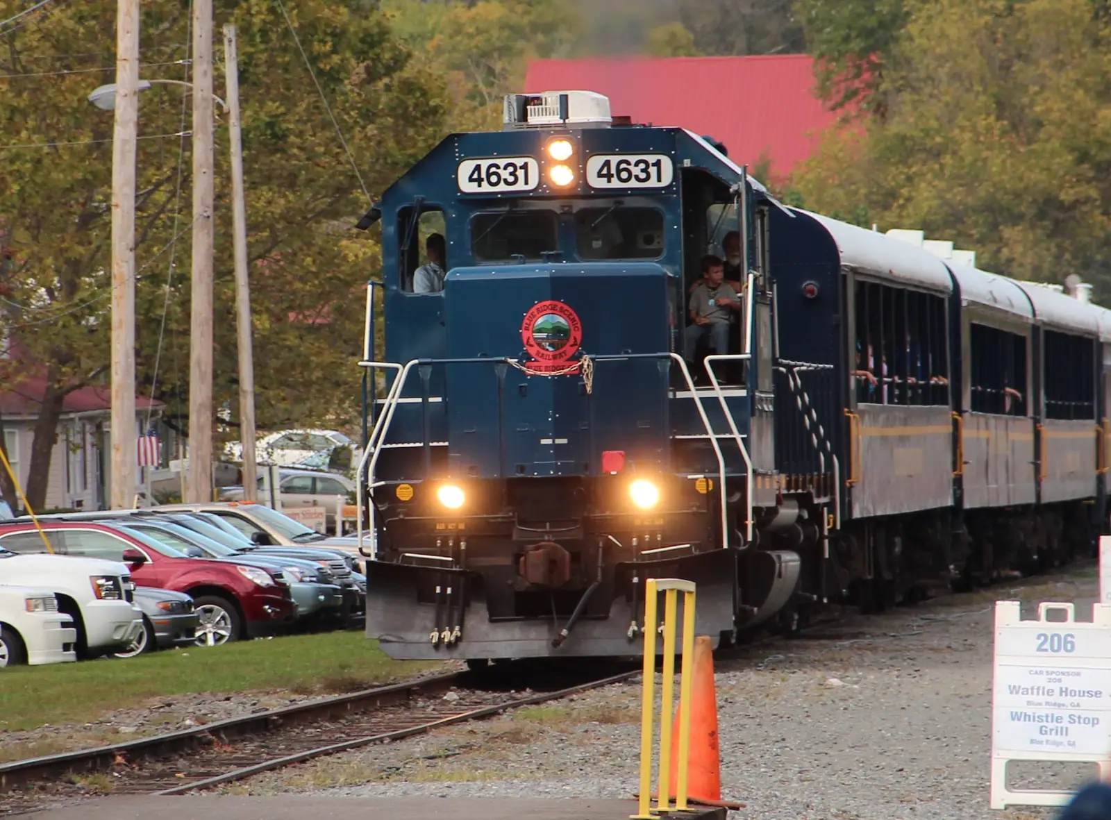
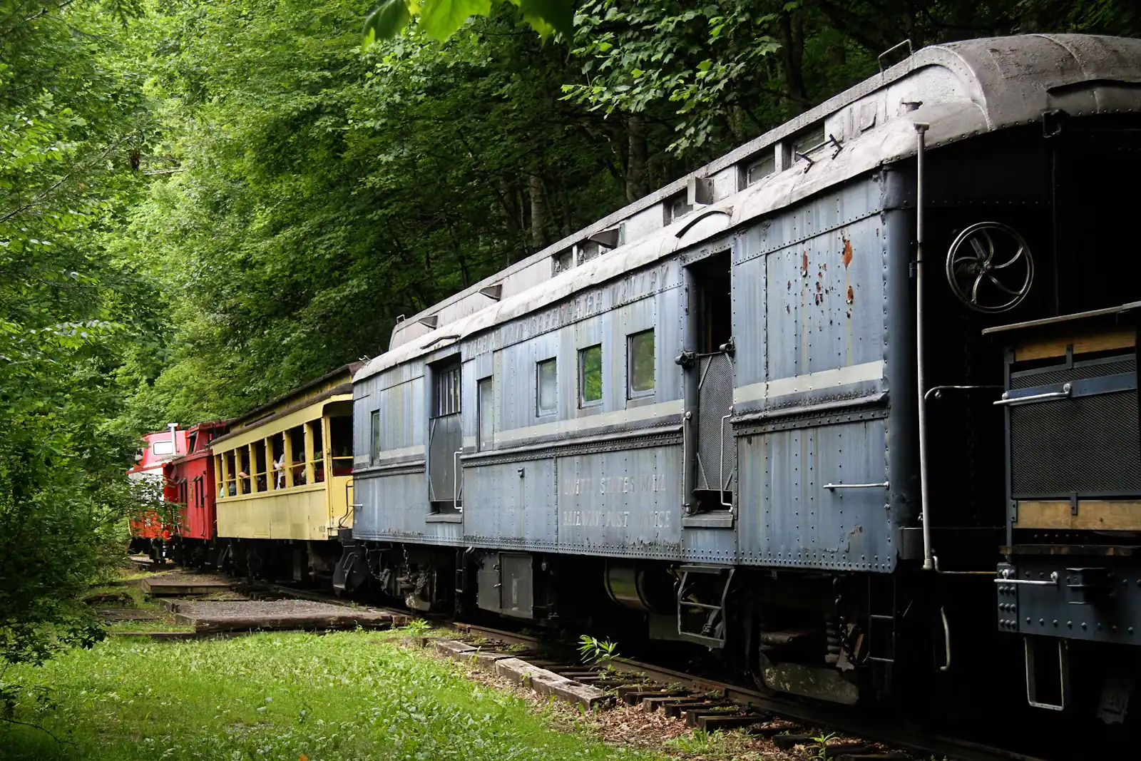
  • A train on the tracks running close beside dense forest
    Entertainment

    Blue Ridge Scenic Railway

    Twenty-six miles of river running to a town cut in half by a state line, in an open-sided coach with the windows down.

    2–5 hoursTicketed. Fares vary by coach class, trip length and season.8.9 mi away

    Photograph: Thomson200

  • A shallow river running over rock ledges between steep banks of dense forest
    Water feature

    Toccoa River

    Free

    One river, two personalities: a lazy summer float above the lake, and a cold tailwater below the dam that fishes all year.

    2–7 hoursFree to access. Forest Service recreation areas charge a day-use parking fee, and rentals and shuttles are extra.15.8 mi away

    Photograph: Thomson200

Copperhill: common questions

What is the Copper Basin and why does it matter at Copperhill?

Copperhill sits on the edge of a copper mining district worked from the 1840s until 1987. Early smelting roasted ore in open heaps over wood fires, which consumed the forest, and the sulphur dioxide released killed whatever tried to regrow. The result was roughly fifty square miles of bare red clay with dead creeks. Replanting from the 1980s and decades of stream remediation have put the green back, which is what you are looking at now.

Can you walk from McCaysville, Georgia into Copperhill, Tennessee?

Yes, in about two minutes, and most visitors do it without noticing. The two towns share one downtown and the state boundary runs diagonally across the street grid rather than along the river, so the change happens mid-block. A painted line on the pavement marks it. There is no checkpoint and no document required; this is a boundary between two American states, not an international border.

Is the Ocoee River the same as the Toccoa?

Yes, it is the same watercourse under two names. It runs 56 miles across Georgia as the Toccoa and becomes the Ocoee the moment it crosses into Tennessee at Copperhill. The character changes downstream rather than at the line: the Georgia stretch is a gentle tubing and trout river, while the Tennessee sections below here carry scheduled dam releases and hosted the 1996 Olympic canoe and kayak events.

How far is Copperhill from Blue Ridge, Georgia?

About twenty-five minutes by car, north on GA-5 through McCaysville, passing Mercier Orchards on the way. Many visitors arrive instead on the Blue Ridge Scenic Railway, which terminates at the twin towns after a 26-mile run along the Toccoa. Both towns keep Eastern time despite the state line, so there is no clock change to catch you out on the way back.