Skip to content
Search
Menu

These bookings pay us a commission through Viator. Your price does not change, and neither did our picks because of it.

Landmark

Blue Ridge Dam

Last updated

A 167-foot earth dam from 1931 that made the lake, chilled the river below it and set the rhythm of the whole county.

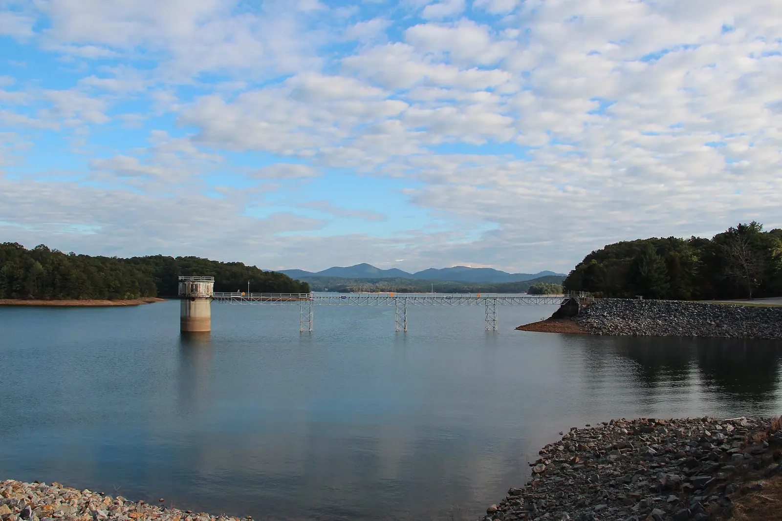
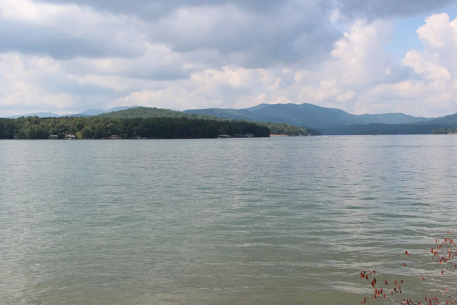
Almost everything people come to Fannin County for was decided by an earth embankment thrown across the Toccoa River in the 1920s. Lake Blue Ridge exists because of it. The trout in the river below exist because of it. The wooded, building-free shoreline that makes the lake photograph so well exists because the reservoir was cut into national forest land and much of the bank stayed federal.

The dam was not a New Deal project, which surprises people who assume every TVA structure was. Construction started in 1925 under the Tennessee Electric Power Company, a private utility, and the dam went into operation on 31 July 1931. TVA only took it over in 1939, after the Supreme Court upheld the TVA Act and the company was obliged to sell. It is 167 feet high and about a thousand feet long, built of compacted earth rather than concrete, and its generator is a modest thing by TVA standards at roughly 22 megawatts.

What matters to a visitor is the two rhythms the dam imposes. The first is seasonal. TVA draws the reservoir down over the winter to hold flood water and refills it through the spring, so the lake you see in March, with mud flats, exposed stumps and docks sitting on dry ground, is not the lake in the photographs on the cabin listing. By early summer it is full again.

The second rhythm is daily. When the dam generates, the Toccoa below it rises quickly and gets pushy. Anglers plan entire days around the published schedule, and anyone wading should do the same.

The dam itself is not a visitor attraction in the conventional sense. There is no centre, no tour and no cafe. What there is: a good view down the valley, an understanding of why this county looks the way it does, and the beginning of the tailwater.

Getting there and parking

The dam sits a few miles east of Blue Ridge, reached off the Aska Road and East First Street side of town on the Dam Road approach. Allow ten to fifteen minutes from Main Street.

Parking is limited roadside space rather than a car park, and there is no pavement, so keep children close to the verge.

TVA restricts vehicle and pedestrian access around its dams from time to time, and gates can be closed at short notice. If you find a barrier, that is the answer; there is no alternative route in.

The lake side of the structure is easier to enjoy from Morganton Point or the marina, both around fifteen to twenty minutes further around the shoreline.

Why the lake looks wrong in March

This catches out a lot of people who book a lakeside cabin for early spring.

TVA manages Blue Ridge as part of a flood-control system, which means lowering the reservoir through late autumn and winter to create storage for the wet months, then refilling as spring rain eases. At the bottom of the drawdown, the lake is visibly smaller: red clay banks, rock and old stumps show above the waterline, private docks can be left sitting on ground, and marina ramps may be out of the water.

It refills through spring and sits near full pool for the summer, which is when the lake looks like the marketing.

Practical consequences. A March or early April booking sold on lake views delivers a view of a smaller lake with a wide muddy margin. Boat launching can be limited at low water. If a lake holiday is the point of your trip, aim for late May through October. If you want the lake to yourself and do not care what it looks like, the drawdown months are quiet and cheap.

The exact level varies year to year with rainfall, so treat this as a pattern rather than a calendar.

Generation, and what it does to the river below

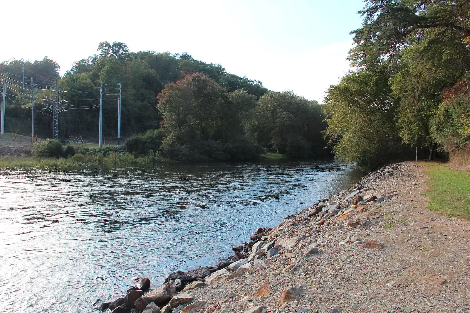
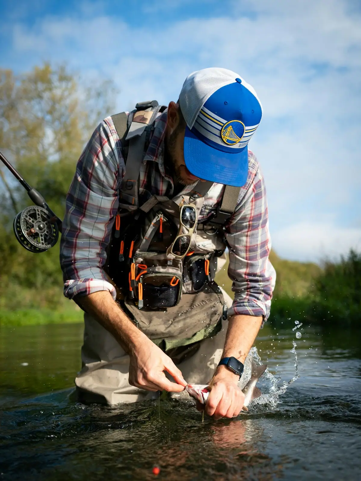
The dam takes water from deep in the reservoir, where it is cold all year, and puts it into the Toccoa. That single engineering decision is why a Southern river at this latitude holds brown and rainbow trout through July.

It is also why the river below the dam is not a fixed thing. When the turbine runs, flow increases substantially and the level comes up fast. Gravel bars that were dry become a current you cannot stand in, and the change can arrive within the hour with no warning at the water's edge.

If you plan to wade, float or let children paddle anywhere on the tailwater, check the published generation schedule for the day before you get in, and get out when the water starts to rise rather than trying to reposition.

None of this makes the tailwater dangerous to a prepared person. It is one of the best pieces of trout water in Georgia and thousands of people fish it safely every season. It does mean the river has an operator, and the operator is not looking at you.

What is actually at the dam

Expectations first: there is no visitor centre, no tour of the powerhouse and no cafe. This is working infrastructure a few miles east of town, not an attraction with opening hours.

What you get is the setting. The road approach gives you the embankment, the reservoir held up behind it and the valley dropping away below, with the Chattahoochee National Forest on both sides and very little building in view. It is a fifteen-minute stop that makes sense of the map.

Below the dam, public access to the first stretch of the Toccoa is the practical draw, and on a non-generating morning there will be anglers in the water within sight of the structure.

Security arrangements at TVA dams change, and access to particular roads, overlooks and parking areas can be restricted at short notice. Treat any posted closure as final, and do not plan a day around being able to stand in a specific spot.

Combine it with Morganton Point or the lake marina, both a short drive around the shoreline, rather than making the dam itself the destination.

Near The Dam

Straight-line distances, so allow more on the road — the island is long and has one main parkway.

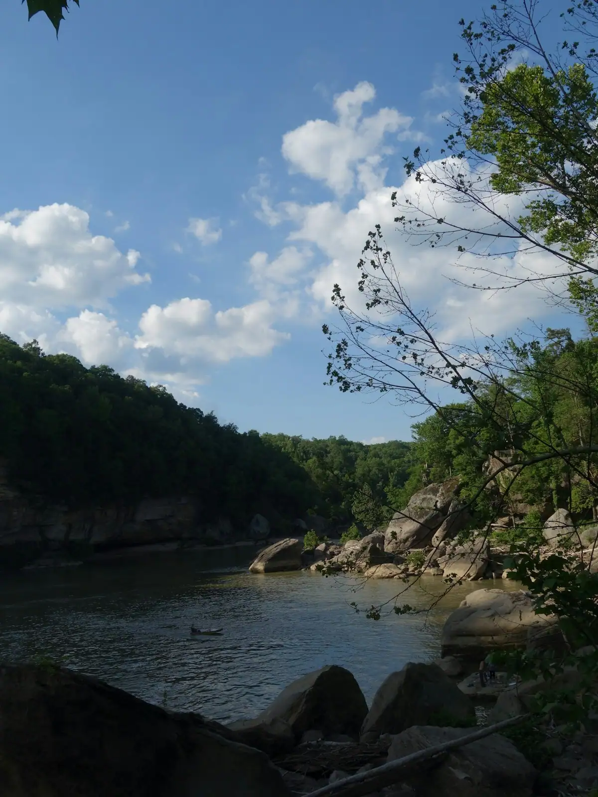
  • Pine-covered slopes running down to still green water on a mountain reservoir
    Water feature

    Lake Blue Ridge

    Free

    Thirty-three hundred acres of cold green water with national forest around most of it, and a level that TVA moves by dozens of feet a year.

    1.5–8 hoursFree to look at and to fish from public land. Recreation areas and ramps may charge.2.9 mi away

    Photograph: Thomson200

  • A tent pitched on a grassy site among trees at the edge of a calm lake
    Park

    Morganton Point Recreation Area

    The public way onto Lake Blue Ridge: a small sand beach, 42 forest campsites and a ramp, in a village that used to run the county.

    2–5 hoursDay-use parking fee per vehicle; camping charged per night.1.9 mi away

    Photograph: Thomson200

  • A timber dock running out to covered boat slips on a calm lake
    Marina

    Blue Ridge Lake Marina

    The lake's main rental and fuel point, sitting near the dam on a reservoir whose level TVA changes by dozens of feet a year.

    2–8 hoursBoat rental, fuel and slips are charged. Looking at the lake is free.0.7 mi away

    Photograph: Thomson200

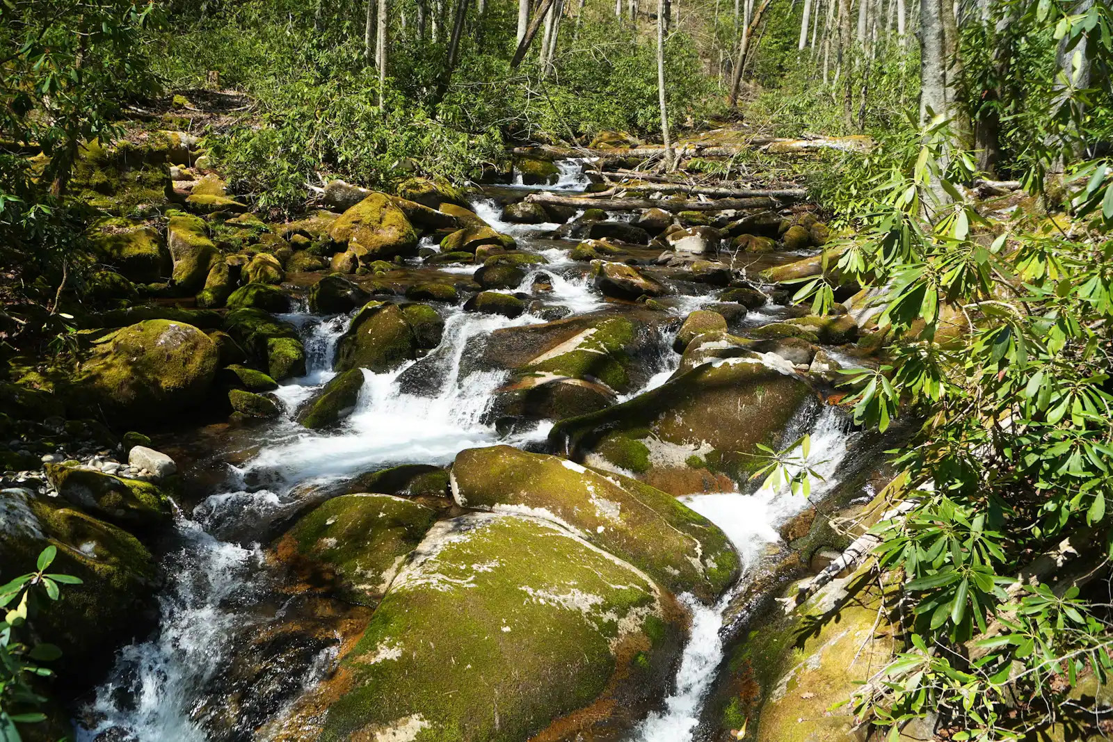
  • A shallow river running over rock ledges between steep banks of dense forest
    Water feature

    Toccoa River

    Free

    One river, two personalities: a lazy summer float above the lake, and a cold tailwater below the dam that fishes all year.

    2–7 hoursFree to access. Forest Service recreation areas charge a day-use parking fee, and rentals and shuttles are extra.7 mi away

    Photograph: Thomson200

The Dam: common questions

Can you visit Blue Ridge Dam?

You can drive to it and look at it, and that is roughly the extent of it. There is no visitor centre, no powerhouse tour, no cafe and no formal overlook with parking. The interest is the setting: a 167-foot earth embankment holding back Lake Blue Ridge with the Toccoa valley dropping away below. Access around TVA structures can be restricted at short notice, so treat any gate or posted closure as the end of the matter.

Why is Lake Blue Ridge low in winter?

TVA draws the reservoir down through late autumn and winter to create storage for flood water, then refills it through the spring. At the bottom of the drawdown you see red clay banks, exposed stumps and docks sitting out of the water. It is normal operation rather than drought. If a lake holiday is what you are booking, aim for late May to October, when the reservoir sits near full pool.

When was Blue Ridge Dam built?

Construction began in 1925 and the dam went into operation on 31 July 1931. It was built by the Tennessee Electric Power Company, a private utility, not by TVA. TVA acquired it in 1939 when the company was forced to sell its assets after the Supreme Court upheld the TVA Act. It is an earth-fill dam, 167 feet high and around a thousand feet long, generating about 22 megawatts.

How does the dam affect fishing on the Toccoa?

It is the whole reason the fishery exists. Water is drawn from deep in the reservoir and comes out cold enough to support rainbow and brown trout year-round, in a river that would otherwise be too warm. The trade-off is that flow depends on generation: when the turbine runs, the level below the dam rises quickly. Check the published schedule before you wade, and get out of the water when it starts coming up.