Skip to content
Search
Menu

These bookings pay us a commission through Viator. Your price does not change, and neither did our picks because of it.

Nature preserve

Cohutta Wilderness

Last updated

Nearly 37,000 acres of designated wilderness on the county's western edge: no blazes, no signal and dozens of river crossings.

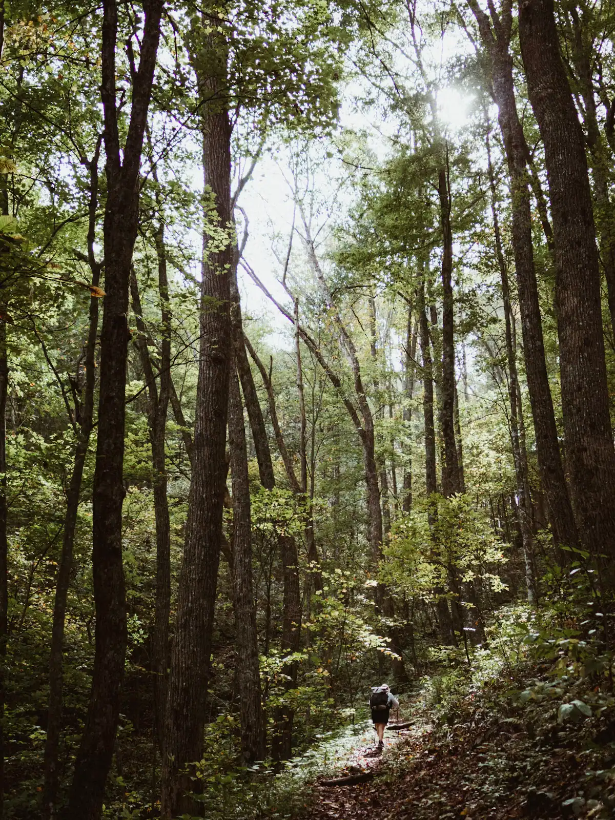
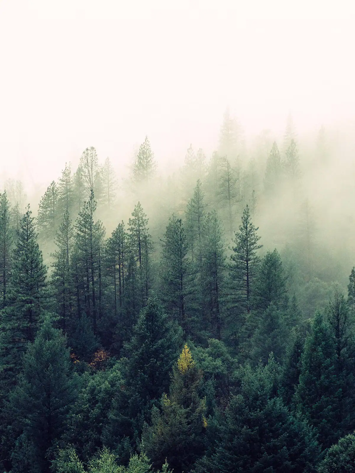
Mist hanging between the tops of tall pines in damp woodlandUnsplash

Photo: UnsplashUnsplash License

West of Blue Ridge, past Watson Gap and the headwaters, the map stops being a map of roads. The Cohutta Wilderness covers 36,977 acres across Georgia and Tennessee, most of it in the Chattahoochee National Forest, and combined with the adjoining protected land it forms a block of over a hundred thousand acres. It was designated in 1975 and expanded in 1986, and it is one of the largest wilderness areas in the eastern United States.

Designated wilderness means something specific and it is worth taking literally. No mechanised equipment. No bicycles. No chainsaws, which is why a blowdown across a trail stays there until somebody arrives with a crosscut saw. Minimal signage, few blazes and a deliberate policy of not making it easy. Roughly 127 miles of trail run through it, and a fair proportion of those miles are harder to follow than the mileage suggests.

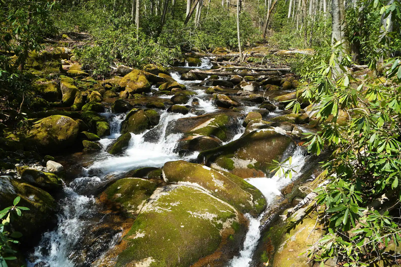
Two rivers define it. The Jacks River runs north through the middle, and the trail along it crosses and recrosses the water dozens of times; there are no bridges, and in high water the route is simply not passable. Jacks River Falls, a broad drop into a pool in a gorge, is the destination most people are aiming for, and it is a long way in from any direction. The Conasauga, on the western side, is one of the most biodiverse rivers in North America, supporting more aquatic species than the Columbia and Colorado watersheds put together, and snorkelling it in summer is a genuine and little-known thing to do.

Elevations run from under a thousand feet in the Alaculsy Valley to 4,224 feet on Big Frog Mountain over the Tennessee line.

This is not a cabin-afternoon destination. Treat it as a day of real navigation or an overnight.

Getting there and parking

Trailheads ring the wilderness rather than sitting at one entrance. From Blue Ridge, the eastern approaches run west past Watson Gap on Old GA-2 and the forest road network; allow forty-five minutes to an hour and a quarter, much of it gravel.

For Jacks River Falls, the shorter Beech Bottom approach is reached from the Tennessee side, which is a longer drive but a much easier walk.

Western access from the Chatsworth direction is a long way round on pavement and then forest roads.

There is no fuel, no shop and no signal once you are on the forest network. Fill up and download maps in town, and carry paper.

What designated wilderness means for your day

The rules are not a formality and they change how you plan.

No blazes and minimal signs. Junctions can be unmarked. A paper map and a compass, and the ability to use them, are the expected standard here rather than an affectation. Phone navigation fails when the battery dies, and there is nothing to charge it from.

No signal. Assume none from the moment you leave the forest road, across the whole area.

No bridges. The Jacks River Trail crosses the river dozens of times. After rain those crossings go from knee-deep to impassable, and people get stranded between fords on the wrong side.

No maintenance you can rely on. Chainsaws are prohibited in wilderness, so storm blowdowns can block a trail for a season.

No mechanised travel. Bicycles are not permitted anywhere inside the boundary.

Tell somebody your route and your expected return before you go in. There is no ranger at a gate counting you in and out, and a search here is a large undertaking.

Jacks River Falls, and the two ways to reach it

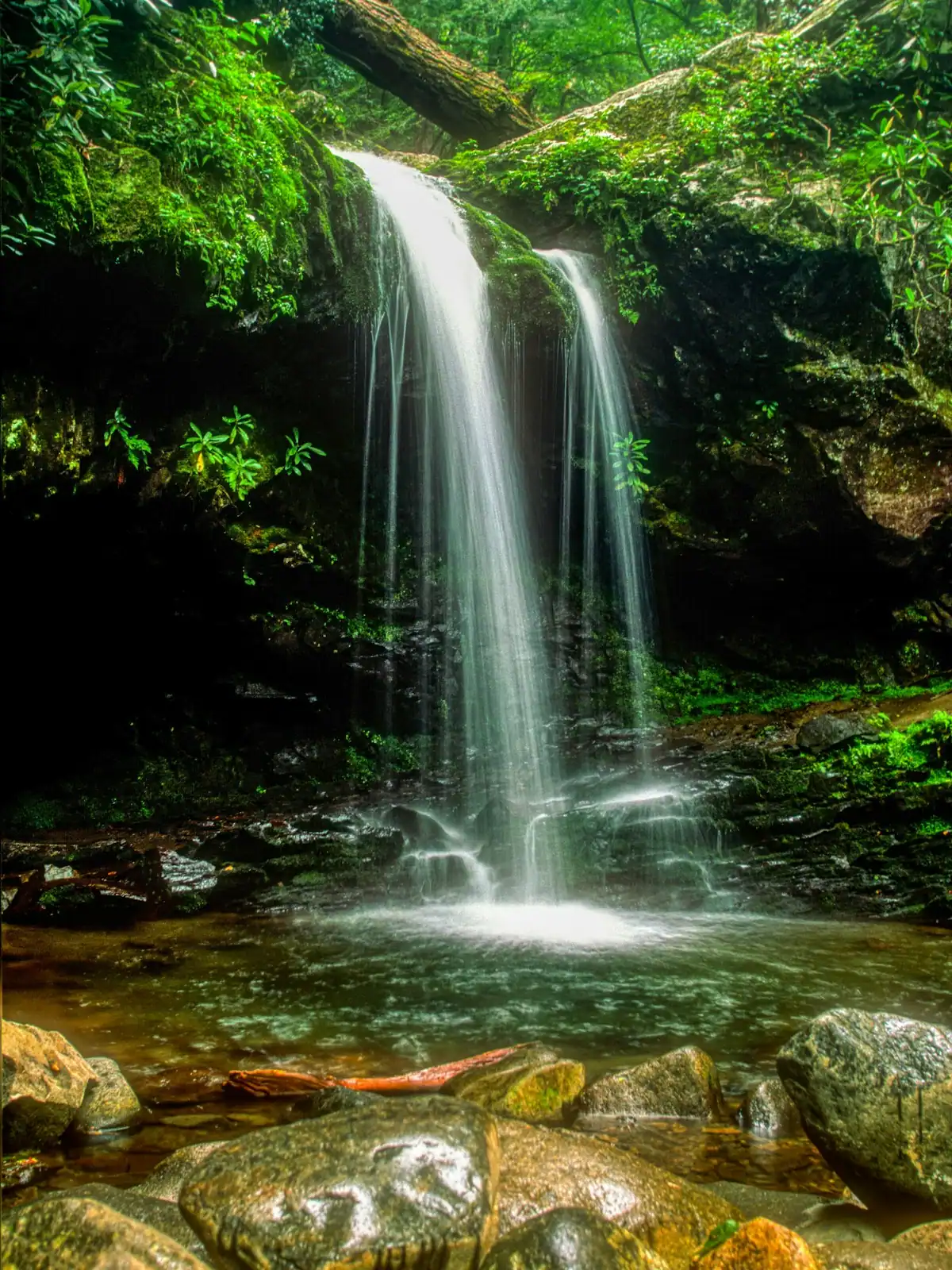
The falls are a wide double drop into a pool in the Jacks River gorge, and they are the single most photographed thing in the Cohuttas. There is no short way in.

From the north, via Beech Bottom. The usual choice for a day trip: a comparatively gentle trail of a few miles each way that reaches the falls without fording the river repeatedly. The trailhead is reached on forest roads from the Tennessee side, and the drive is long.

From the south, up the Jacks River Trail. Far more beautiful and far more committing, with dozens of crossings. This is an overnight in most people's hands, and in spring high water it is not a route at all.

Either way, the drive from Blue Ridge is the hidden cost: access roads loop around the wilderness rather than through it, and the trailheads that look close on the map are an hour or more of gravel apart.

Camping near the falls is popular, which means it is also the most impacted ground in the wilderness. Camp back from the water and take everything out.

Check water levels and forecasts before committing to anything that involves the river.
The Conasauga, and snorkelling a river in Georgia

The Conasauga River drains the western side of the wilderness, and it is biologically extraordinary. It supports more aquatic species than the Columbia and Colorado watersheds combined, including darters and shiners found in very few other places, and in summer the water runs clear enough to see them.

River snorkelling here is a real activity with a small following: mask, snorkel, old shoes, and an hour lying in a shallow run watching fish that most people assume only exist in the tropics. The colours on a breeding male darter in May are absurd.

Like the Jacks, the Conasauga Trail crosses the river repeatedly, so the walking and the swimming are much the same exercise.

Cold water and slick rock are the practical hazards, and there is no lifeguard, no signal and no quick way out of the gorge.

If the wilderness as a whole feels like more than you want, the Conasauga on a hot August afternoon is the most rewarding hour in it, and the least demanding.

Access from Blue Ridge, and the honest drive times

The Cohuttas sit on Fannin County's western boundary, but the road network does not cooperate. Trailheads are scattered around the perimeter on Forest Service roads, and reaching one from Blue Ridge typically means forty-five minutes to well over an hour, much of it on gravel.

The eastern approaches run out past Watson Gap and Old GA-2. The northern approaches, including Beech Bottom for Jacks River Falls, come in from the Tennessee side. The western approaches are reached from the Chatsworth direction, which is a long way around.

Nothing here is quick. Budget the drive as part of the day and refuel before leaving town.

Forest roads close seasonally, and the closures are not always signed where you turn off. Check the Chattahoochee National Forest's current alerts and have an alternative.

Bear country applies throughout: hang or canister your food if you camp, and do not leave anything scented in a tent.

Hunting seasons run in the surrounding national forest from autumn into winter. Wear orange in that window.

Near The Cohuttas

Straight-line distances, so allow more on the road — the island is long and has one main parkway.

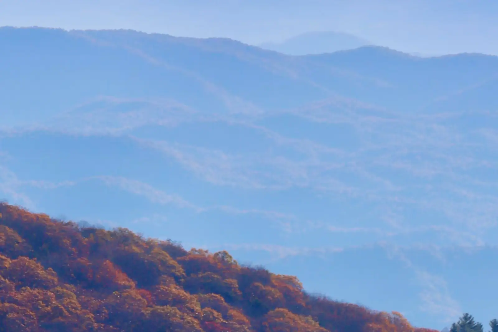
  • Layered ridges covered in autumn hardwood colour under a pale sky
    Nature preserve

    Chattahoochee National Forest

    Free

    Around 106,000 acres of public land in Fannin County alone, almost none of it signposted, gated or supervised in the way visitors expect.

    2–8 hoursFree to enter. Developed campgrounds and some day-use areas charge a fee.23.9 mi away

    Photograph: USFWS

  • A lone walker on a narrow path through tall forest
    Trail

    Benton MacKaye Trail

    Free

    The quieter long trail: 300 miles from Springer Mountain to the Smokies, and the one that actually runs through Fannin County.

    1–8 hoursFree. No permit required for day walking, no facilities on the trail.27.7 mi away

    Photograph: Unsplash

  • A small-town street of low brick buildings with a wooded mountain rising directly behind the rooftops
    Neighbourhood

    Ellijay

    Free

    The Apple Capital of Georgia: a courthouse square, two rivers meeting, and orchards that turn the whole county into a queue in October.

    2.5–6 hoursFree to visit. Orchards charge for fruit and for u-pick by weight.14.9 mi away

    Photograph: Nyttend

  • A river running through the middle of a small town beside a road bridge
    Neighbourhood

    McCaysville

    Free

    A Georgia town of about 1,150 people that shares its high street, its river and its bridge with a different state.

    1–3 hoursFree. Walking to the state line and the river costs nothing.16.3 mi away

    Photograph: Unknown authorUnknown author or not provided

The Cohuttas: common questions

How big is the Cohutta Wilderness?

36,977 acres, of which around 35,268 lie in Georgia's Chattahoochee National Forest and 1,709 in Tennessee's Cherokee National Forest. Taken together with the adjoining protected land it forms a block of more than a hundred thousand acres, one of the largest in the eastern United States. It was designated in 1975 and expanded in 1986, and carries roughly 127 miles of trail across the two states.

How do you get to Jacks River Falls?

Two ways, and they are very different. The Beech Bottom approach from the north is a few miles each way on a comparatively gentle trail without repeated river fords, and is the usual day-trip choice, though the drive to the trailhead from Blue Ridge is long. The Jacks River Trail from the south is more beautiful and far more committing, with dozens of unbridged crossings that become impassable in high water. Check levels before committing.

Are the trails in the Cohutta Wilderness marked?

Barely, and that is deliberate. Designated wilderness is managed to minimise signage and human traces, so blazes are few, junctions can be unmarked and storm blowdowns stay across the trail because chainsaws are prohibited. There is no mobile signal anywhere inside. Carry a paper map and compass and know how to use them, and tell somebody your route and expected return before you go in.

Can you swim in the Conasauga River?

Yes, and snorkelling it is the most interesting thing to do in the western Cohuttas. The Conasauga supports more aquatic species than the Columbia and Colorado watersheds combined, and in summer the water is clear enough to watch darters and shiners at close range with a mask. The hazards are cold water, slick rock and the absence of any quick way out of the gorge. The trail along it crosses the river repeatedly.

How far is the Cohutta Wilderness from Blue Ridge?

Forty-five minutes to an hour and a quarter to the nearer eastern trailheads, much of it on gravel Forest Service roads past Watson Gap. The wilderness sits on Fannin County's western edge, but the road network loops around the boundary rather than through it, so trailheads that look adjacent on a map can be an hour of driving apart. Refuel and download maps in town; there is nothing out there.