Trail
Springer Mountain
Free
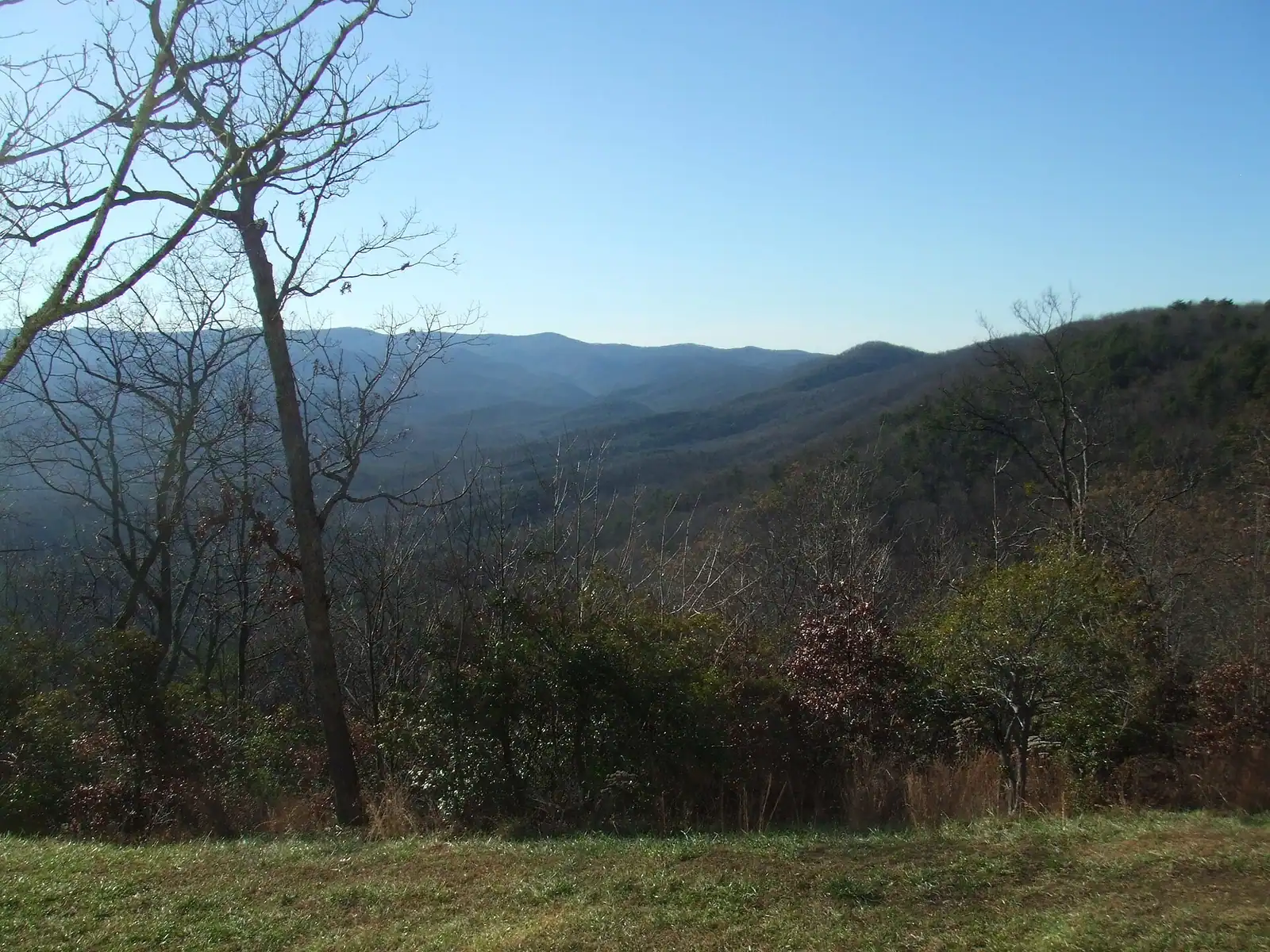
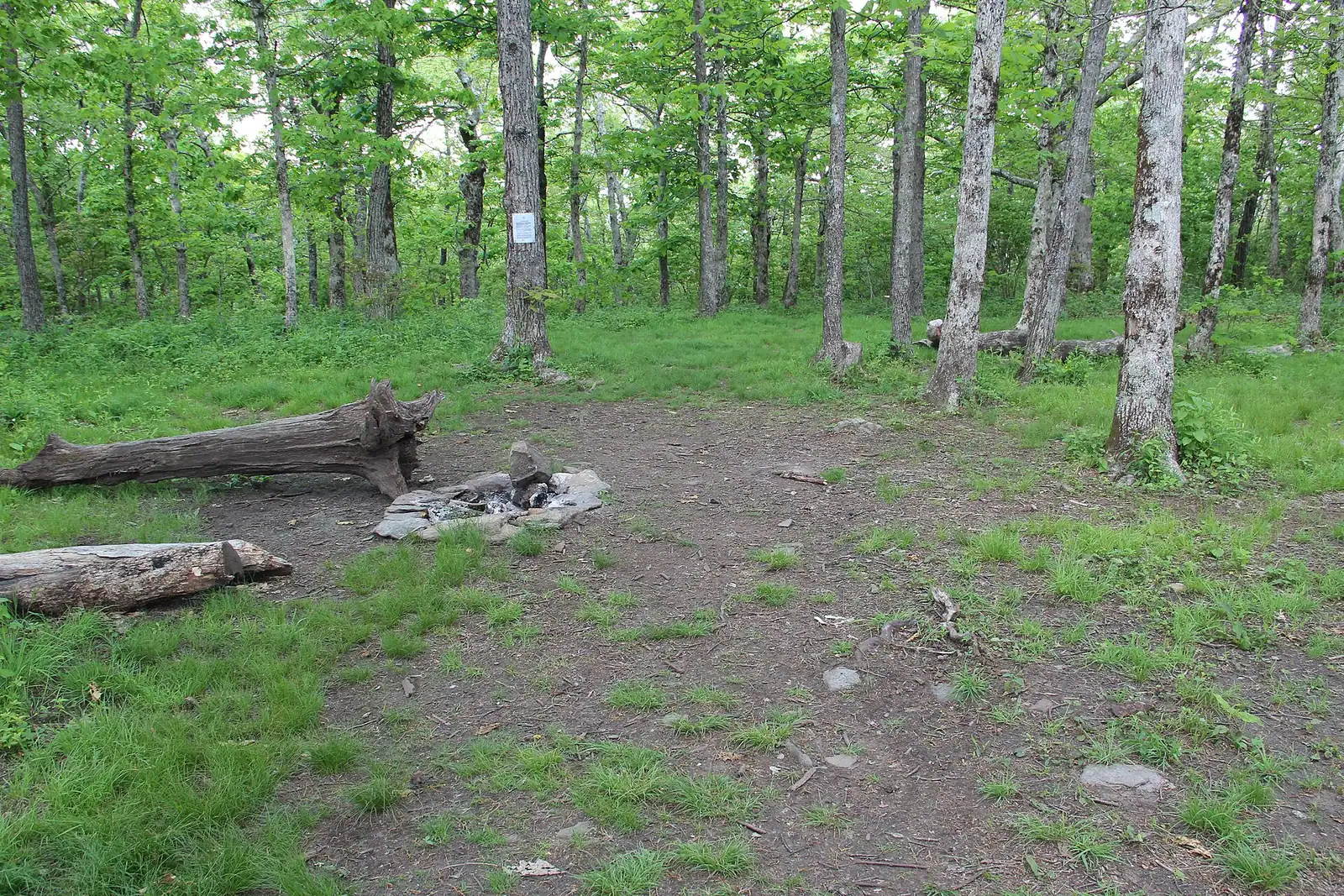
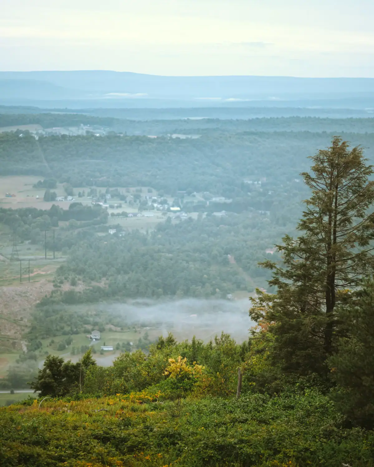
The Appalachian Trail's first white blaze sits at 3,770 feet, about an hour of mountain road from a Blue Ridge cabin.
1.5–7 hoursFree. No entry fee, no parking charge, no facilities.5 mi away
Photograph: Thomson20192
Water feature
Last updated
Georgia's tallest waterfall at 729 feet, about an hour south, with a staircase of six hundred-odd steps up the side of it.
Photo: Thomsonmg2000CC0
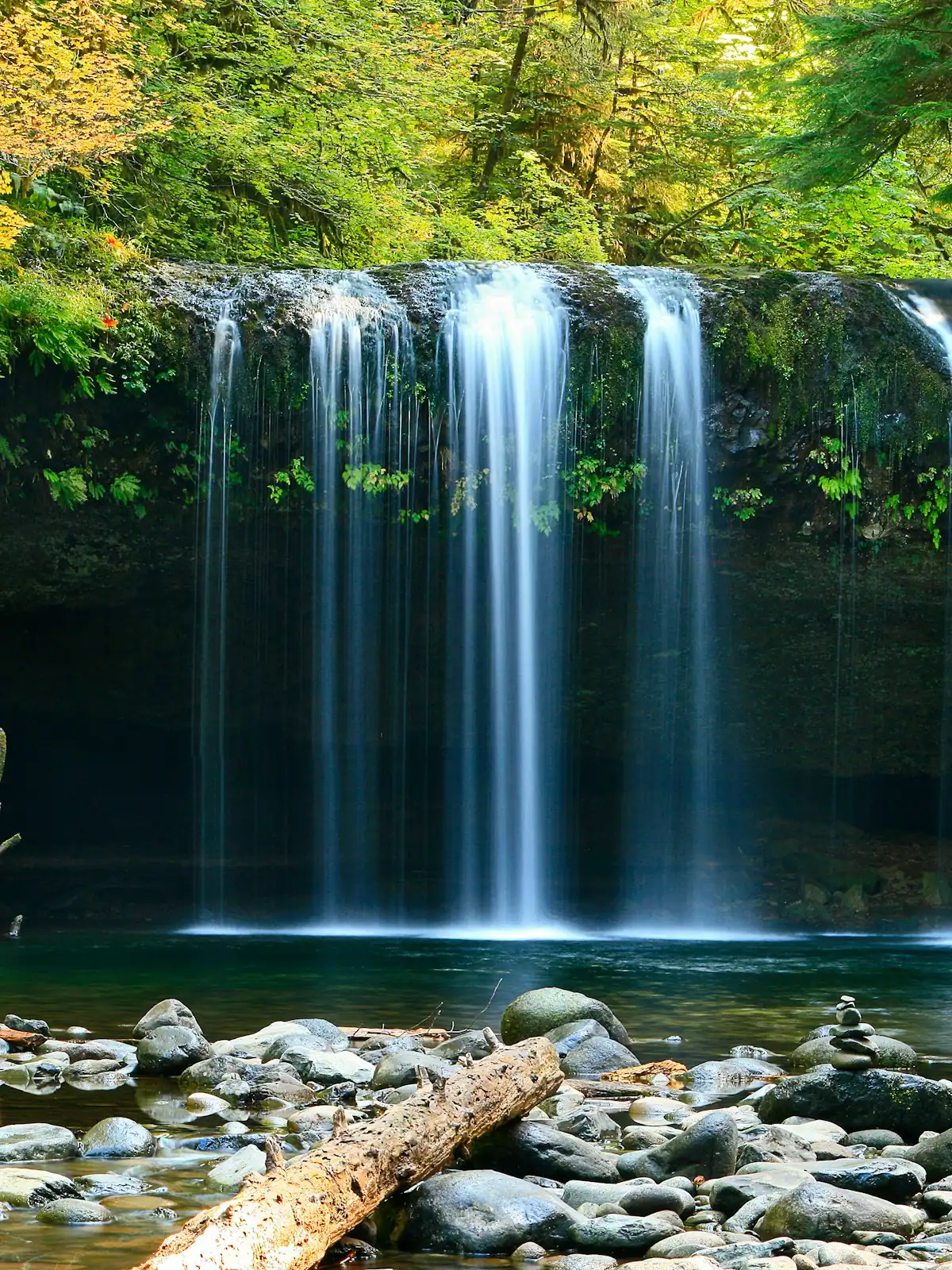
Most waterfalls in the north Georgia mountains are modest: fifteen to a hundred feet of water sliding down a rock staircase under rhododendron, lovely in a close, green, understated way. Amicalola is not that. It drops 729 feet down the side of the ridge in a series of cascades, it is the tallest waterfall in Georgia, and it is the one falls in reach of a Blue Ridge cabin that will look like the photographs.
The name is Cherokee, usually rendered as tumbling waters, which is more accurate than the word waterfall. This is not a single plunge into a pool. It is a long, steep, broken cascade, and the way you experience it is by climbing alongside it on a staircase and a set of platforms that take you from the base to the top.
The stairs are the thing people remember. A little over six hundred steps, split into flights with viewing platforms at the bridge across the middle of the falls and at the top. It is a genuine climb. Most reasonably fit people do it comfortably and arrive at the top warm; anyone with knees or a heart condition should know it is stairs, not a path, and that the way down is harder on the joints than the way up.
There is also a road to the top, which matters. You can drive to the upper car park and walk down to the bridge, or drive to the bottom and walk up. Doing it from the top is the version for a group of mixed mobility.
The park around it is 829 acres in Dawson County, with a lodge, a restaurant, cabins and a campground, and it is also where the Approach Trail to Springer Mountain starts, under a stone arch by the visitor centre.
From Blue Ridge, take GA-515 south through Ellijay and East Ellijay, then GA-52 east towards Dawsonville. Allow about an hour and a quarter. The route is paved throughout with no gravel and no forest roads.
There are three car parks: the lower lot at the reflection pool, a mid-level lot, and an upper lot near the top of the falls. Which one you use determines how much climbing you do, so decide before you arrive rather than following the first sign.
On October weekends the lower lot fills early and the queue backs up to the gate. Aim for before ten in the morning.
The park entrance road is signed from GA-52 and the visitor centre is immediately inside it.
There are three ways up, and choosing correctly matters more here than at any other waterfall in the region.
Bottom to top. Park at the reflection pool at the base and climb the full staircase, a little over six hundred steps in flights, with platforms to stop on. Allow forty-five minutes to an hour up, less down. This is the full experience and the one that earns the view.
Top down. Drive to the upper car park, walk down to the bridge across the middle of the falls, and come back up. Far shorter, and the bridge is the best single viewpoint on the falls. This is the option for older visitors, small children and anyone who would rather not climb.
Middle out. Park at the mid-level lot and take the short flight to the bridge from there, which is the least effort for the most falls.
Handrails run the length of the stairs and the surface is metal grating, which gets slick in rain and holds ice in winter. Grip matters more than tread depth.
The climb is harder than its length suggests because it is continuous stairs rather than trail. Take water, and take the platforms as rest stops rather than photo stops only.
The stone arch beside the visitor centre is the start of the Approach Trail: 8.5 miles to the summit of Springer Mountain, the southern terminus of the Appalachian Trail. In March a steady procession of people with very large packs walks through it, and a good proportion of them will still be walking in Maine in September.
It is not part of the Appalachian Trail itself. It is a feeder path, and whether starting a thru-hike here or driving to the Forest Service road near the summit is the true beginning is an argument that will outlive all of us.
For a day visitor the honest version is that the Approach Trail is a serious walk: five to seven hours one way, climbing steadily. Unless you have a shuttle or a second car at the other end, it is an out-and-back of considerable length.
The more practical option is walking the first few miles to the junction for the Len Foote Hike Inn, an inn five miles in that can only be reached on foot and is booked well in advance.
Either way, the first flight of the Approach Trail is the same staircase everyone else is climbing, which is a memorable way to begin a five-month walk.
Amicalola is a Georgia state park, which means a daily parking pass per vehicle rather than a per-person admission. An annual pass is available and pays for itself quickly if you are visiting more than a few state parks in a year. The current daily rate is modest but does change; check before you go rather than arriving without cash or a card.
The park runs a lodge with rooms and a restaurant, plus cabins and a campground, all operated under the North Georgia Mountains Authority by a hospitality company rather than directly by the state. The restaurant at the lodge has the view; book if you want to eat with it.
From Blue Ridge, the drive is roughly an hour and a quarter: south on GA-515 through Ellijay, then east on GA-52 towards Dawsonville. It is paved throughout and the last stretch is a pleasant piece of mountain road rather than an ordeal.
On autumn weekends the car parks fill, particularly the lower lot. Arriving before ten or after three makes a material difference in mid-October.
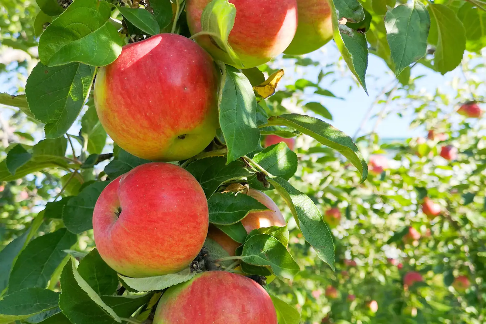
Combine it with Ellijay on the way back for apples, lunch or both.
Straight-line distances, so allow more on the road — the island is long and has one main parkway.
The Appalachian Trail's first white blaze sits at 3,770 feet, about an hour of mountain road from a Blue Ridge cabin.
1.5–7 hoursFree. No entry fee, no parking charge, no facilities.5 mi away
Photograph: Thomson20192
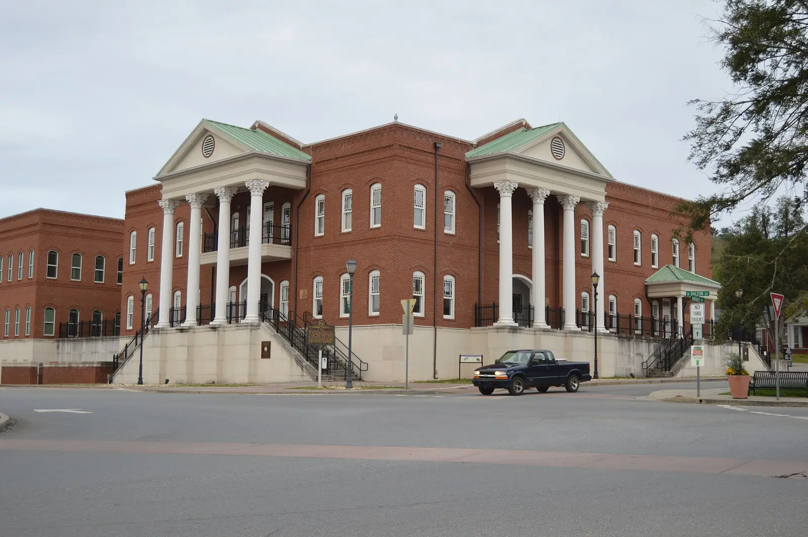
The Apple Capital of Georgia: a courthouse square, two rivers meeting, and orchards that turn the whole county into a queue in October.
2.5–6 hoursFree to visit. Orchards charge for fruit and for u-pick by weight.16.2 mi away
Photograph: Nyttend
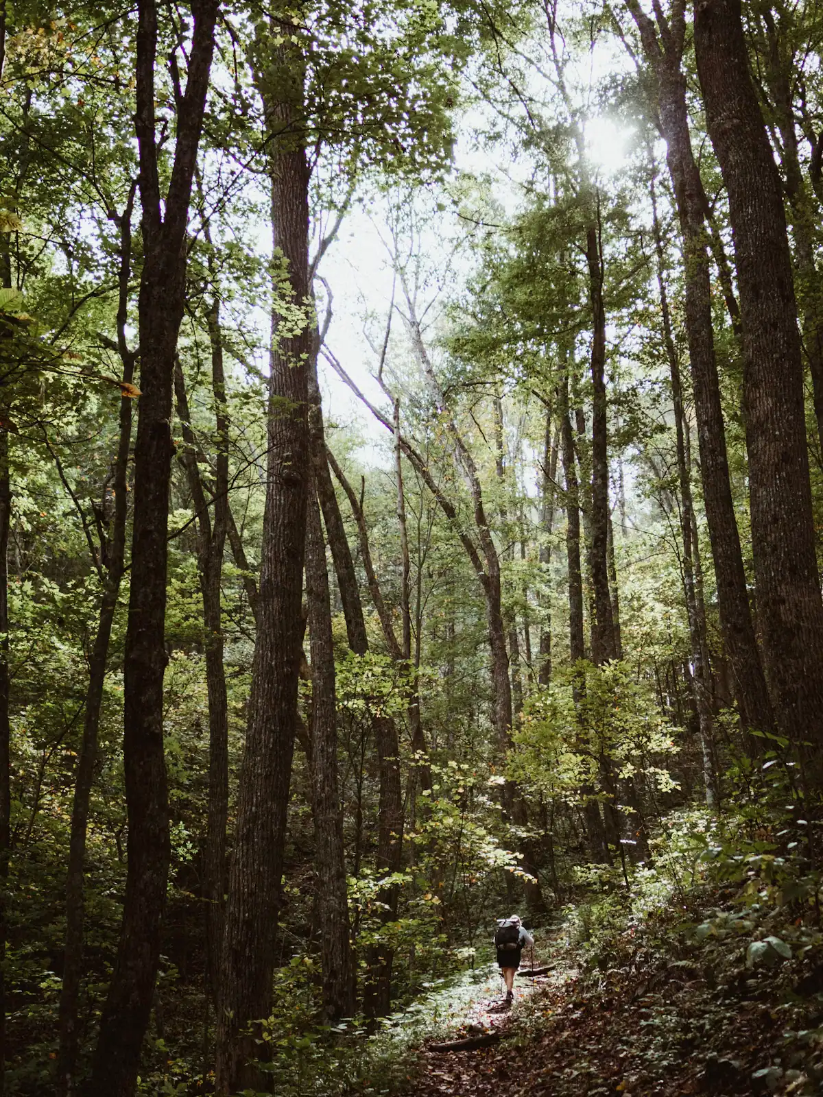
The quieter long trail: 300 miles from Springer Mountain to the Smokies, and the one that actually runs through Fannin County.
1–8 hoursFree. No permit required for day walking, no facilities on the trail.12.5 mi away
Photograph: Unsplash
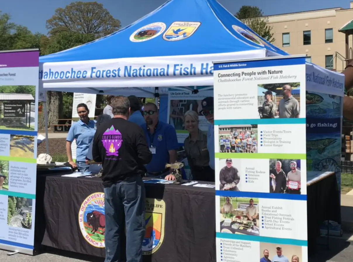
Around 106,000 acres of public land in Fannin County alone, almost none of it signposted, gated or supervised in the way visitors expect.
2–8 hoursFree to enter. Developed campgrounds and some day-use areas charge a fee.14.7 mi away
Photograph: USFWS
Where this place fits into a day, and the pages that plan one.
Almost nobody comes to Blue Ridge and stays in a hotel. They rent a cabin, usually for two or three nights, usually up a slope somewhere off a…
Photograph: Unsplash
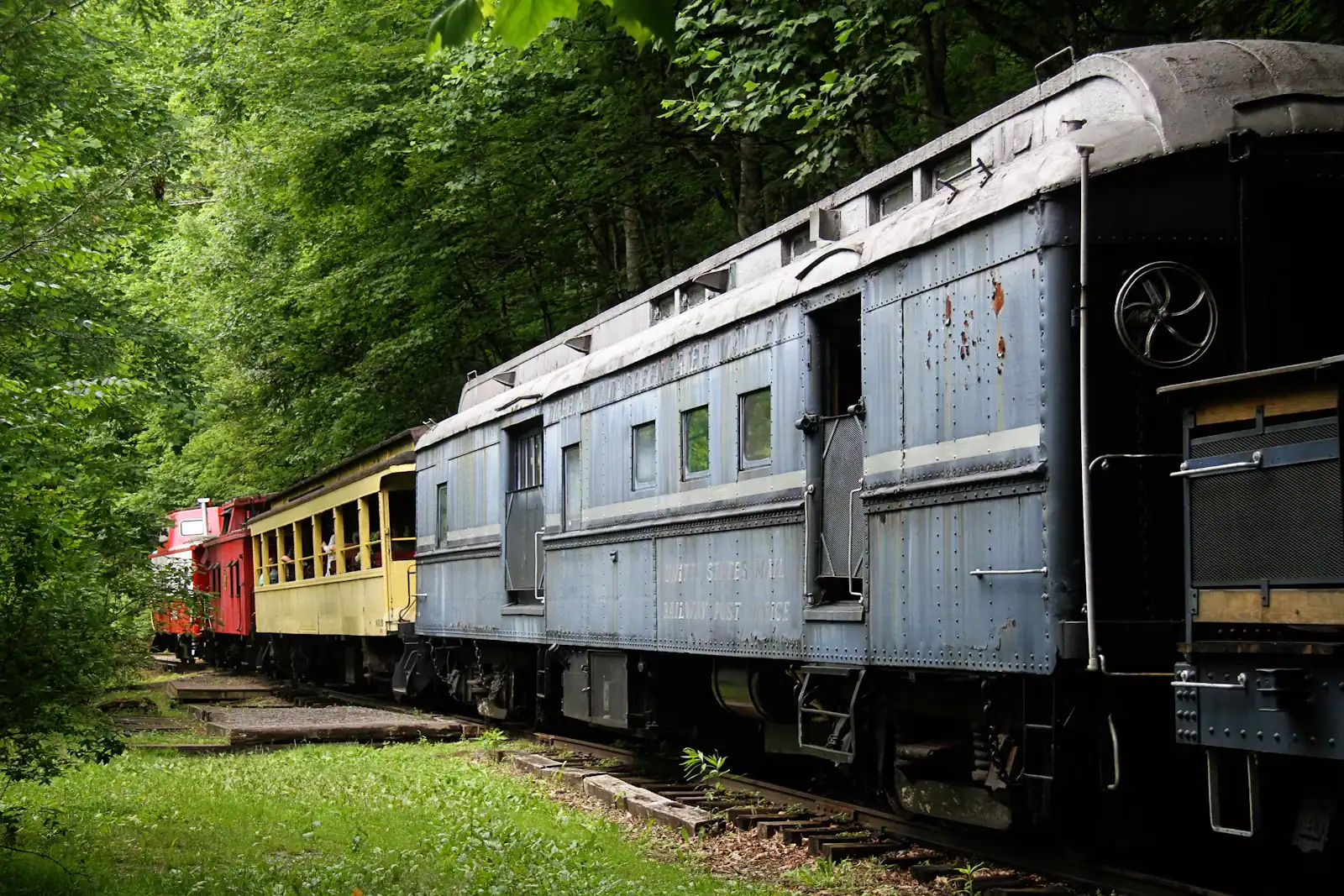
Fannin County does not have many attractions in the sense a city has attractions. It has one excursion railway, one very large apple farm, one…
Photograph: Unsplash
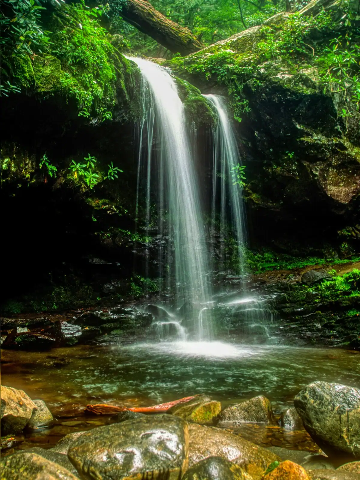
Fannin County holds something in the region of 106,000 acres of the Chattahoochee National Forest, roughly three hundred miles of trail and a…
Photograph: Unsplash
Here is the thing nobody puts in a family travel article about this county, and it is the most useful sentence on the page: for children under about…
Photograph: Unsplash
Fannin County sits in the top corner of Georgia, which means the most interesting things within an hour of your cabin are frequently not in Georgia…
Photograph: Unsplash
The walks are short. The gravel roads that reach them are not, and that is what actually decides your afternoon. What each waterfall is really like, and how to get there.
6 min readWyatt Ledford
Photograph: Unsplash
About an hour and a quarter, south on GA-515 through Ellijay and then east on GA-52 towards Dawsonville. It is paved the whole way with no gravel and no forest roads, which makes it one of the easier day trips from a Blue Ridge cabin. Combining it with a stop in Ellijay on the way back for apples or lunch turns it into a comfortable full day rather than a long drive for one waterfall.
A little over six hundred, split into flights with viewing platforms on the way, running alongside the cascade from the base to the top. The surface is metal grating with handrails throughout. Most reasonably fit people climb it in forty-five minutes to an hour. If stairs are a problem, drive to the upper or mid-level car park instead: the bridge across the middle of the falls is the best viewpoint and needs far less climbing from above.
729 feet, which makes it the tallest waterfall in Georgia. It is a cascade rather than a single plunge: the water comes down the ridge in a long broken series of drops on Little Amicalola Creek. The Cherokee-derived name is usually translated as tumbling waters, which describes it more accurately than waterfall does. It runs hardest after winter and spring rain and thins out in a dry late summer.
Not quite. The Approach Trail starts at the stone arch beside the visitor centre and runs 8.5 miles to Springer Mountain, which is the actual southern terminus of the Appalachian Trail. The Approach Trail is a feeder path, not part of the trail itself, and plenty of thru-hikers skip it and start from the Forest Service road near the summit instead. Walking it takes most people five to seven hours one way.
Yes, but as parking rather than admission. Georgia state parks charge a daily parking pass per vehicle, with an annual pass available that pays for itself quickly if you visit more than a few parks a year. The rate changes, so check before travelling. Lodge rooms, cabins and campsites in the park are charged separately and book up well ahead for October.