Skip to content
Search
Menu

These bookings pay us a commission through Viator. Your price does not change, and neither did our picks because of it.

Park

Deep Hole Recreation Area

Last updated

The Forest Service put-in at the head of a 13.8-mile river trail, forty minutes up the Toccoa valley from Blue Ridge.

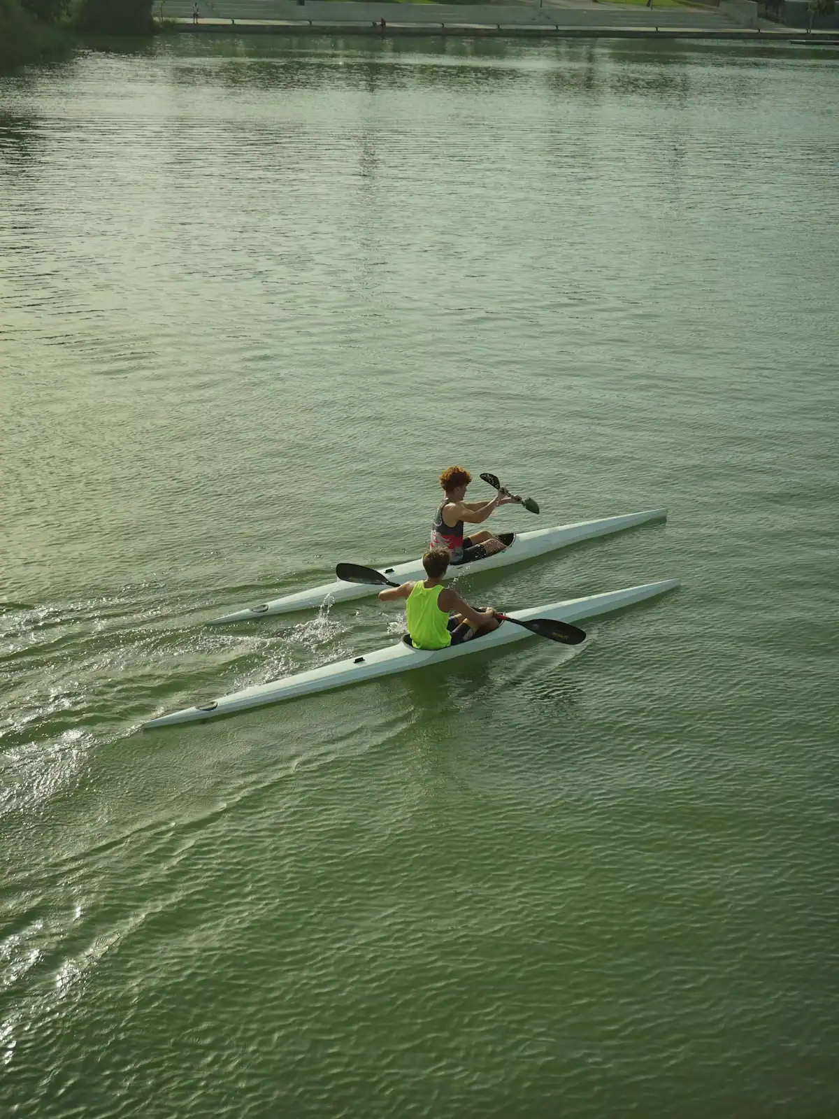
Two paddlers in kayaks on flat green water below a steep wooded bankUnsplash

Photo: UnsplashUnsplash License

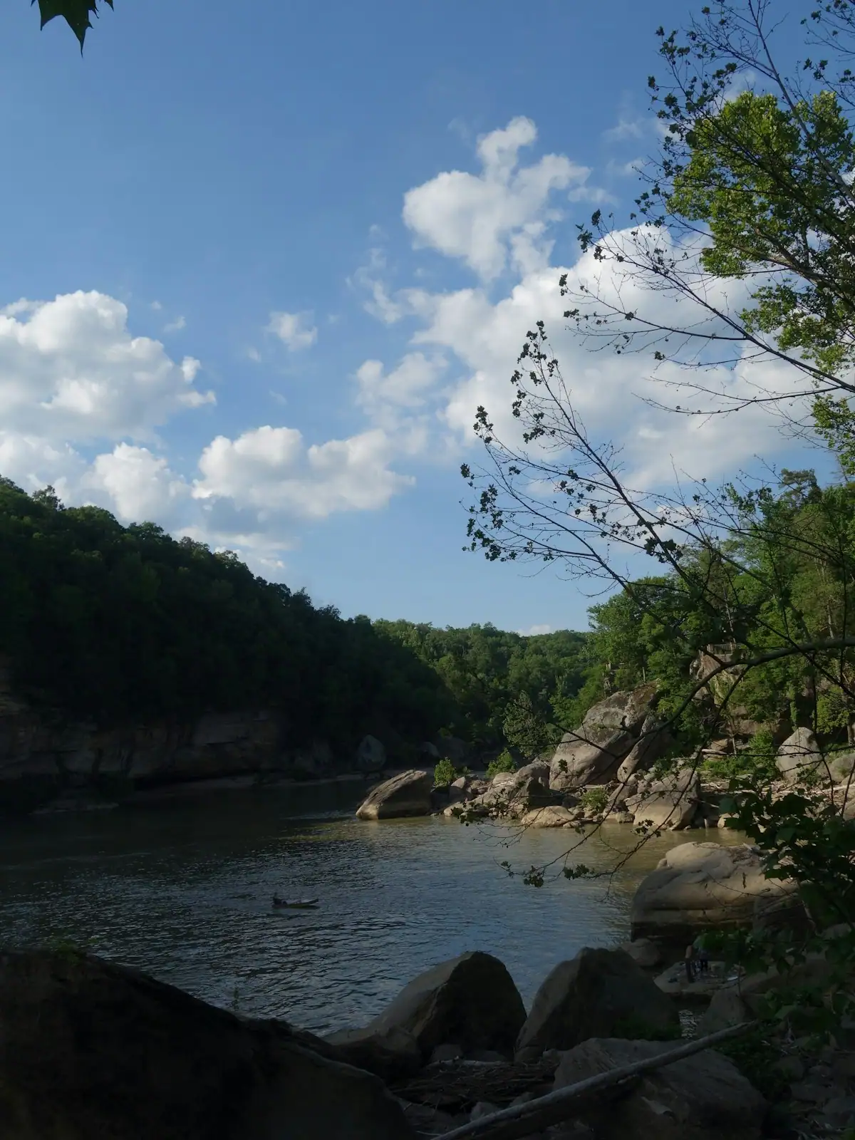
Deep Hole is a small Forest Service site on the Toccoa River, out along GA-60 in the direction of Suches, and it exists mainly as a starting point. The Toccoa River Canoe Trail runs 13.8 miles from here down to Sandy Bottoms Recreation Area, passing under the Toccoa River Swinging Bridge on the way, and this is where you put the boat in.

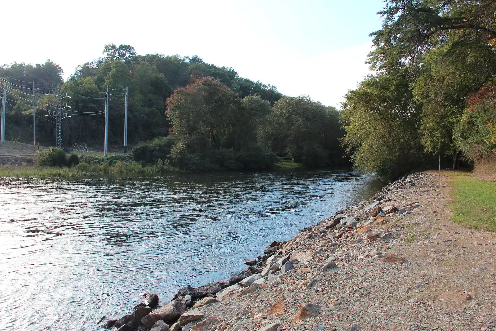
It is a genuinely different stretch of river from the one the tubing outfitters use. Up here the Toccoa is narrow and intimate, running between wooded banks with gravel bars, fallen timber and long slow pools separated by short riffles. Almost nothing on it is harder than easy class I to II at ordinary levels. What it asks for is not skill so much as time, a shuttle and a willingness to get out and drag in a dry August.

There is a campground, small, wooded and simple, with sites near enough to the water that the river is what you hear at night. Anglers use it as a base: this is inside the Blue Ridge Wildlife Management Area, with the Noontootla Creek system feeding in nearby, and the upper Toccoa itself is stocked and fished hard in the season.

The thing to understand before driving out is the isolation. GA-60 through here is a genuine mountain road, tight and slow, and there is nothing at Deep Hole to buy. No shop, no cafe, no fuel, no signal worth relying on. The nearest useful supplies are back towards Morganton or over in Suches, and neither is close.

For a cabin party, this is a day trip, not a stop. Either you are paddling from here or you are fishing from here. It is not scenery you drive past.
Getting there and parking

Take GA-60 south-east out of Morganton towards Suches and follow the Toccoa valley; Deep Hole is signed on the river side of the road. From Blue Ridge allow roughly forty minutes, all of it on pavement but none of it fast.

The site has a gravel parking area and a short carry to the water. Anything longer than a small trailer is awkward on the approach.

Sandy Bottoms, the take-out 13.8 river miles downstream, is reached from Old Dial Road on the Aska side of the valley. The road connection between the two is indirect, which is why shuttles need arranging in advance.

No fuel, no shop and no reliable signal out here. Sort everything in town first.

The 13.8 miles to Sandy Bottoms

The Forest Service marks the whole run at 13.8 miles, from the ramp at Deep Hole down to Toccoa River Sandy Bottoms Recreation Area on Old Dial Road.

Reckon on five to seven hours in an open canoe at ordinary water, more when it is low. It is not a technical river and the hazards are the ordinary ones: strainers where trees have come down across the channel, a few pushy chutes at higher flows, and long shallow sections where you walk the boat. At summer levels the walking is the main fatigue.

The Toccoa River Swinging Bridge crosses roughly midway, carrying the Benton MacKaye Trail across the water on cables. Drifting underneath it is the image most people are here for. It has been closed for repairs at times, which affects walkers rather than paddlers, but check its status if you are planning to land and walk out to it.

Splitting the trip is common: camp at Deep Hole, paddle a half day, or start lower and run only the last stretch into Sandy Bottoms.

Whatever you do, arrange the shuttle first. The road route between the two ends is nothing like the river route and takes considerably longer than the map suggests.

Camping at Deep Hole

A small, plain campground under trees beside the river, in the Blue Ridge Ranger District of the Chattahoochee National Forest. Expect basic toilet facilities, tables and fire rings, and nothing else. No hook-ups, no showers, no camp store.

Because it sits inside the Blue Ridge Wildlife Management Area, the rhythm of the place changes with the hunting calendar as well as the paddling season. In autumn you will share the road with hunters' trucks, and orange is a sensible thing to wear if you are walking in the woods here between October and January.

Site numbers, fees and the season's opening and closing dates are set by the Forest Service and move year to year; check the current listing rather than assuming last year's arrangement holds.

Black bears are present throughout this valley. Food, cool boxes, rubbish and anything scented go in the vehicle overnight, not in the tent and not on the table. This is routine practice here rather than an alarming exception.

Come prepared to be self-sufficient. The last shop is a long way behind you.

The drive, and why it takes longer than you think

Deep Hole is about twelve miles from Blue Ridge as the crow flies and something like forty minutes by road, which tells you most of what you need to know about driving in Fannin County.

The route runs out along GA-60, a two-lane mountain highway with sustained bends, no overtaking to speak of and slow trucks. It is paved the whole way, so this is not a gravel expedition, but it is not a road you make time on either. Motorcyclists love it, which means summer weekends bring groups moving considerably faster than the rest of the traffic.

Mobile signal drops out along the valley and does not come back reliably until you are heading back towards town. If someone is meeting you for a shuttle, agree the time and place before you leave the cabin.

There is no fuel out here. Fill up in Blue Ridge or Morganton.

In winter this road holds ice in shaded cuts long after the town is clear, and the Forest Service can gate side roads without notice.

Near Deep Hole

Straight-line distances, so allow more on the road — the island is long and has one main parkway.

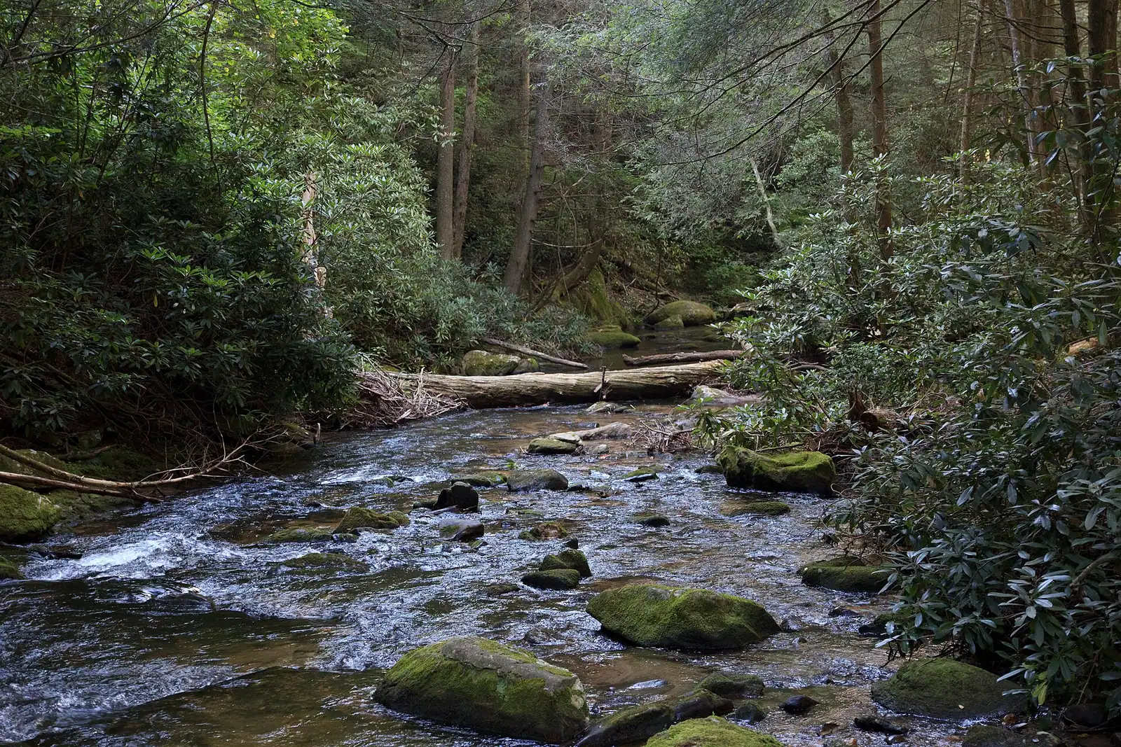
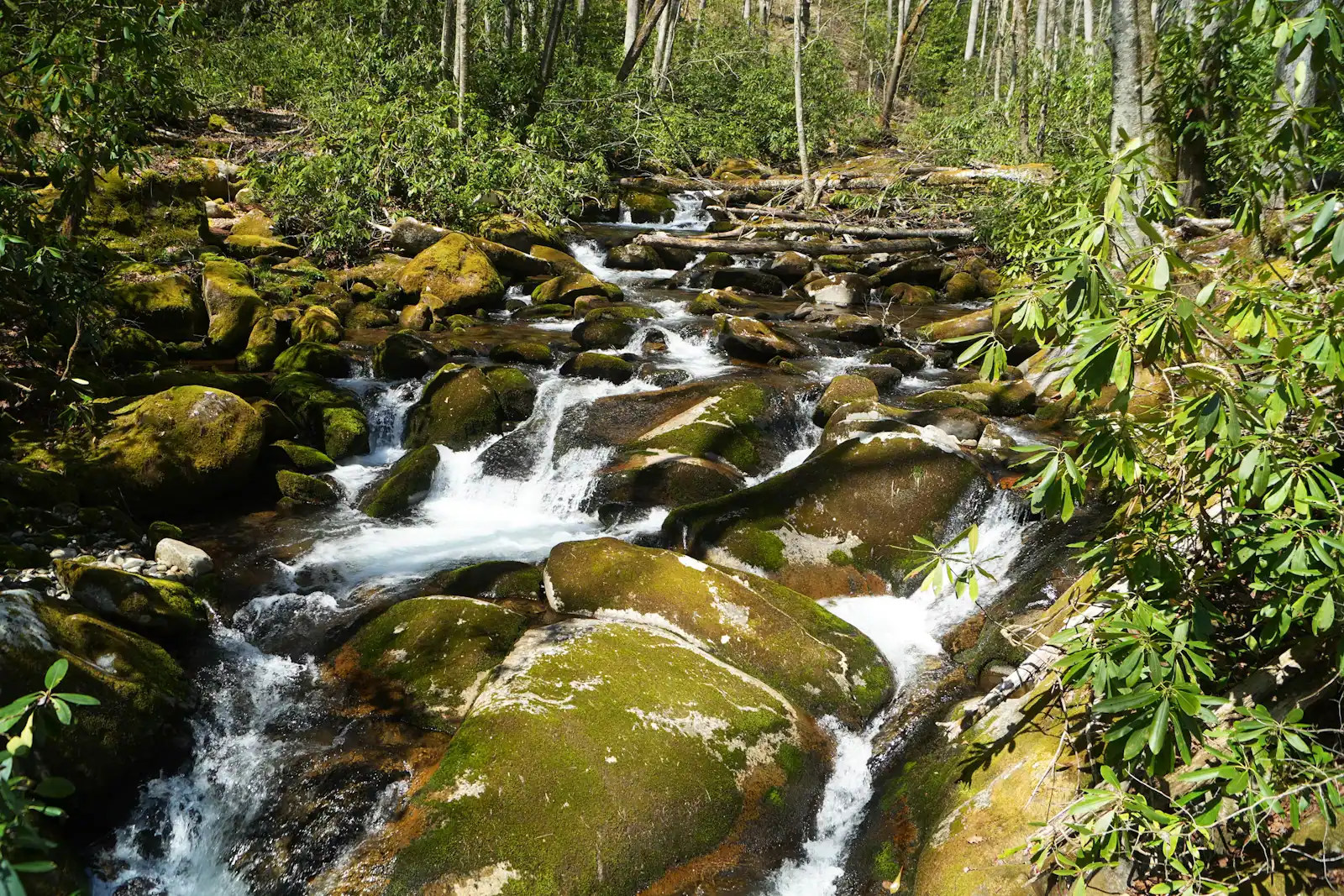
  • A shallow river running over rock ledges between steep banks of dense forest
    Water feature

    Toccoa River

    Free

    One river, two personalities: a lazy summer float above the lake, and a cold tailwater below the dam that fishes all year.

    2–7 hoursFree to access. Forest Service recreation areas charge a day-use parking fee, and rentals and shuttles are extra.6.5 mi away

    Photograph: Thomson200

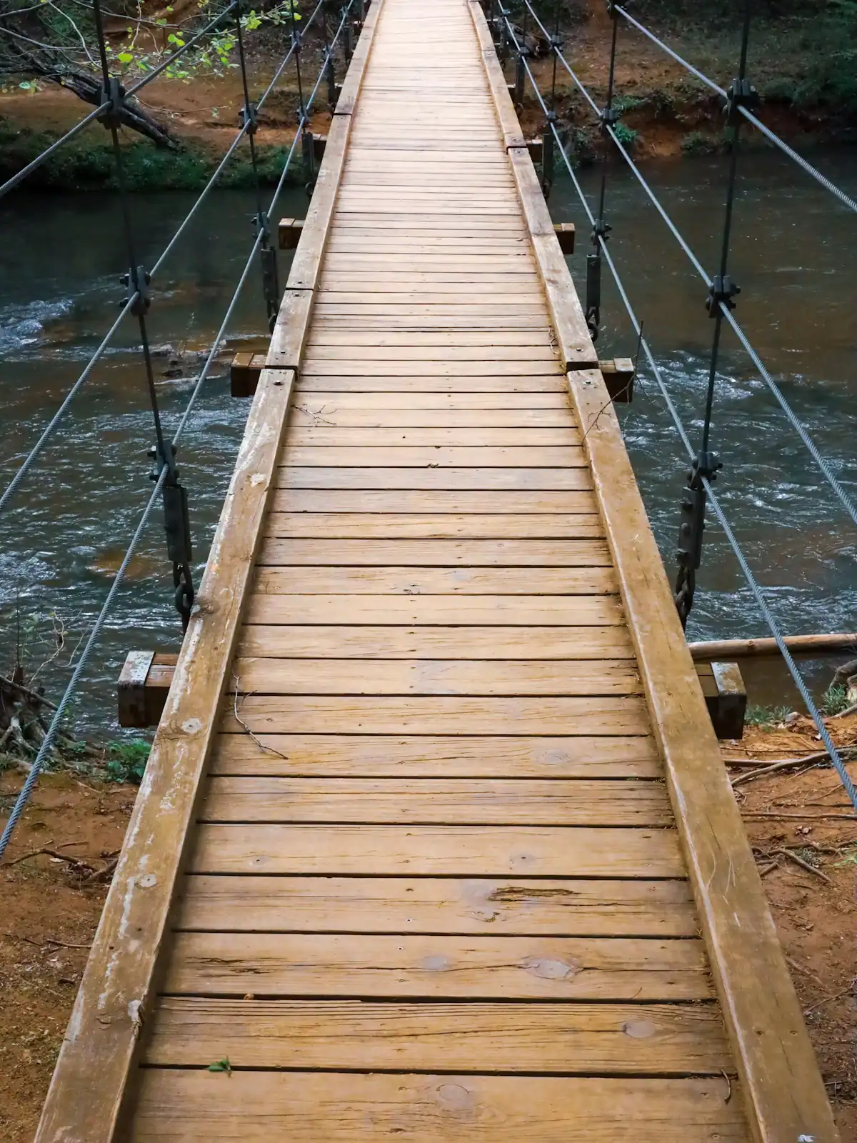
  • A narrow timber suspension footbridge crossing a river in dense woodland
    Landmark

    Toccoa River Swinging Bridge

    Free

    A cable footbridge that genuinely sways, hung over the Toccoa on the Benton MacKaye Trail, at the end of a gravel forest road.

    0.5–4 hoursFree. No fee, no gate, no facilities.1.5 mi away

    Photograph: Unsplash

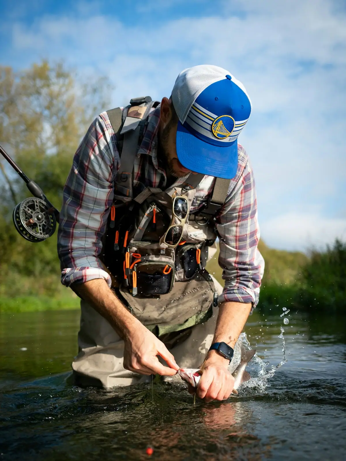
  • A wading angler casting a long line into fast water at the head of a pool
    Water feature

    Noontootla Creek

    Free

    Georgia's best-known wild trout creek, where the 16-inch size limit means almost everything you catch goes back.

    3–8 hoursFree to access. A Georgia fishing licence and trout licence are required to fish.5.3 mi away

    Photograph: Scott Long

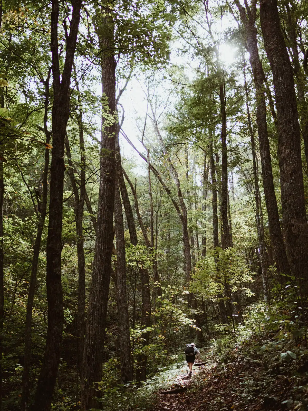
  • A lone walker on a narrow path through tall forest
    Trail

    Benton MacKaye Trail

    Free

    The quieter long trail: 300 miles from Springer Mountain to the Smokies, and the one that actually runs through Fannin County.

    1–8 hoursFree. No permit required for day walking, no facilities on the trail.1.5 mi away

    Photograph: Unsplash

Deep Hole: common questions

Where does the Toccoa River Canoe Trail start?

At Deep Hole Recreation Area on GA-60, roughly forty minutes south-east of Blue Ridge in the Chattahoochee National Forest. From there the marked trail runs 13.8 miles downstream to Toccoa River Sandy Bottoms Recreation Area on Old Dial Road, passing beneath the Toccoa River Swinging Bridge about midway. Most paddlers take five to seven hours, and rather more when summer levels have the shoals showing.

Can you camp at Deep Hole?

Yes, in a small wooded Forest Service campground beside the river, with tables, fire rings and basic toilet facilities and nothing more. There are no hook-ups, showers or shop, and the nearest supplies are a long drive back towards Morganton. Opening dates and fees are set seasonally, so check the current federal recreation listing. Store food in your vehicle overnight; black bears are present throughout this valley.

How far is Deep Hole from Blue Ridge?

About forty minutes by road, along GA-60 through the Toccoa valley. The straight-line distance is only around twelve miles, but the highway follows the terrain with sustained bends and slow-moving traffic, and there is no faster alternative. It is paved the whole way, unlike most forest access in this county. There is no fuel and no shop once you leave Morganton, so stock up first.

Is the Toccoa above Deep Hole good for beginners?

The canoe trail below Deep Hole is beginner-friendly in the sense that nothing on it exceeds easy class I to II at normal levels. What makes it demanding is length rather than difficulty: 13.8 miles is a long first day, the shuttle logistics are real, and strainers where trees have fallen across the channel are the genuine hazard. First-timers are better off running a shorter section or going with an outfitter.