Skip to content
Search
Menu

These bookings pay us a commission through Viator. Your price does not change, and neither did our picks because of it.

Landmark

Toccoa River Swinging Bridge

Last updated

A cable footbridge that genuinely sways, hung over the Toccoa on the Benton MacKaye Trail, at the end of a gravel forest road.

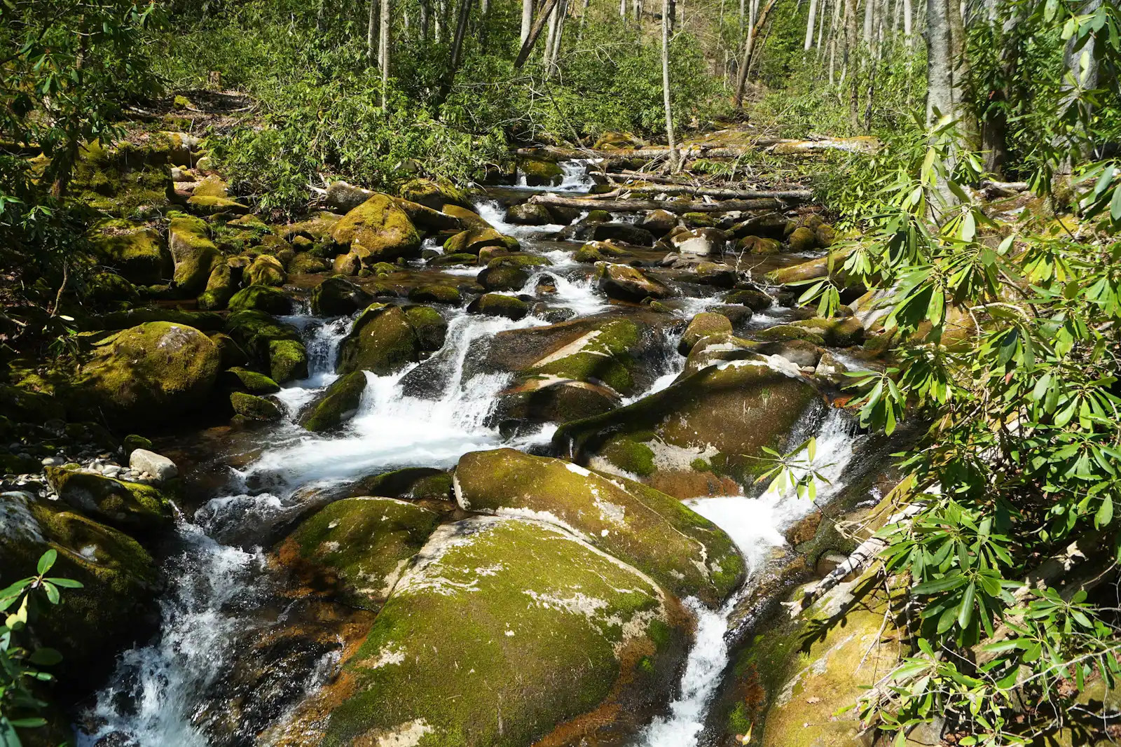
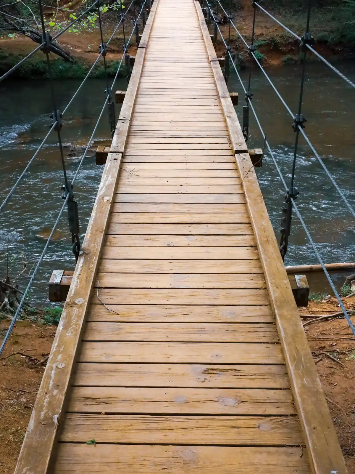
A plank deck slung from cables across the Toccoa River, deep in the Chattahoochee National Forest and a long way from anything that could be called a car park. It carries the Benton MacKaye Trail over the water, and it moves under you, which is the entire appeal and the reason nobody who walks it does so quietly.

The bridge is repeatedly described locally as the longest swinging bridge east of the Mississippi, and a figure of around 270 feet gets quoted alongside it. We could not find a Forest Service source that states either. Treat both as local claim rather than a record, and judge the bridge on what it is instead: a long, narrow, genuinely springy span over a clear mountain river with rhododendron crowding both banks, which is a better thing than a statistic.

Getting here is the real content. This is not a roadside pull-off. The bridge sits in forest south of Lake Blue Ridge, reached by gravel Forest Service road off the paved network, and the last stretch is the sort of surface that punishes a low car and washboards badly after a wet month. There is no visitor centre, no water, no restroom, no rubbish bin and, for most of the approach, no mobile signal. Come with a full tank, a paper idea of where you are going, and the understanding that if a tree is down across the road, that is the end of the plan.

Two approaches work. The short one drops you at the bridge in a few minutes on foot from a small forest-road pull-in. The better one walks in along the Toccoa from Deep Hole Recreation Area on GA-60, roughly two and a half miles of riverside trail each way, which turns a photograph into a half day and is much the nicer use of the drive.

The bridge has been closed for repairs before. Check before you commit to the drive.
Getting there and parking

The bridge is in national forest south of Lake Blue Ridge, reached from the GA-60 corridor and then by gravel Forest Service road. Load the route before you leave pavement, because signal goes long before the last turn.

Allow an hour from Blue Ridge for the short approach, which is more than a mapping app quotes, because the final miles are gravel at fifteen miles an hour. Low-clearance cars get in during a dry spell and struggle after a wet one. There is no formal car park, only pull-ins on the verge; do not block the road or a gate.

The alternative start is Deep Hole Recreation Area on GA-60, which is paved right to the door and has a proper parking area, restrooms in season and a campground. From there the Benton MacKaye Trail runs upstream to the bridge in roughly two and a half miles. That is the approach we would take.

Check with the Blue Ridge Ranger District on current road and bridge status before you set out. The structure has been closed for repair in the past and the roads gate in winter.

About the record it is supposed to hold

Every county tourism page, every trail blog and most of the road signs repeat the same sentence: this is the longest swinging bridge east of the Mississippi. It has been repeated long enough that it now functions as a fact, and it may well be one.

What we can tell you is that we could not trace it to the Forest Service, which built and maintains the structure, or to any register that would be in a position to adjudicate it. The commonly quoted span of around 270 feet has the same problem. Both numbers circulate without a source attached.

That is not a reason to skip the bridge. It is a reason to arrive without a scoreboard. A suspension footbridge that flexes under two people walking out of step, over green water, with nothing but forest on either bank and no road noise at all, does not need to be a record holder. The disappointment people occasionally report here comes almost entirely from arriving expecting a monument and finding a trail bridge.

If you want a genuine superlative from the same river, take this one instead: the Toccoa runs 56 miles through Georgia and then changes its name at the state line, becoming the Ocoee the moment it crosses into Tennessee. Same water, two names, one afternoon.

The forest roads, and what they do to a car

The approach is gravel Forest Service road and it is the part of this visit that goes wrong.

Assume washboard. Assume potholes after a wet spell. Assume a crown that throws water into ruts and leaves them. A saloon car with ordinary clearance gets in most of the year at ten to fifteen miles an hour, and gets in badly after a week of rain. Anything hired, low and fully loaded will scrape.

Assume no signal. Coverage drops well before the last turn, so load your route before you leave the paved road and do not rely on live rerouting. A screenshot of the map is worth more than a phone with four bars in town.

Assume nobody is coming. There is no ranger on site, no water, no toilet and no bin. In winter the roads can be gated or blocked by deadfall with no notice and no announcement.

Assume the road is two-way and one lane wide in places. Meeting a truck means one of you reverses, usually you.

None of this makes it hard. It makes it a commitment. Give the drive out from Blue Ridge an hour, not the forty minutes a mapping app will quote, and do not plan to be back for a dinner reservation.

The walk in from Deep Hole, which is the better version

You can park close and walk five minutes to the bridge. Most people do, and most people are back in the car inside half an hour, which is a lot of gravel road for one photograph.

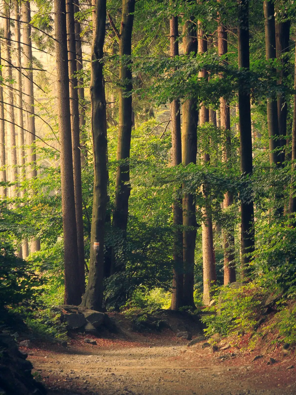
The alternative is to start at Deep Hole Recreation Area on GA-60 and follow the Benton MacKaye Trail upstream along the Toccoa. It runs roughly two and a half miles to the bridge, mostly close to the water, through rhododendron tunnels and across small feeder creeks, with almost no sustained climbing. Five miles there and back, three to four hours at a looking pace.

What that buys you: the river itself. Deep pools the colour of weak tea, boulders you can sit on, trout water that people fish seriously, and a stretch of bank that has no houses on it. The bridge at the far end stops being the destination and becomes the turnaround point, which is the right relationship.

Practical notes. The trail is blazed with the BMT's white diamond, about five inches by seven. Wear shoes that can get wet at the creek crossings. Take all your water; there is none at either end. Ticks are real here from spring to autumn, so check afterwards.

On the deck, and the rules that matter

The deck is timber, narrow enough that two people pass sideways, with cable handrails at about waist height. It moves. It is supposed to move. Two people walking in step will set up a rhythm that feels alarming and is not, and a group of six being deliberately silly about it will make somebody in the party very unhappy.

That is the one piece of etiquette worth stating: if there is anyone else on the span, do not bounce it. There is a sizeable drop to the water and the handrails are cable, not a solid rail. Small children should be held, not led, and a toddler in a carrier is easier than a toddler on foot.

Photography is better from the bank than from the middle. Go across, walk thirty yards up the far side, and shoot back along the span with the river underneath. In the middle of the day the light through the canopy is flat and contrasty at the same time; early morning and the hour before the light goes are both much kinder.

Take everything out with you. There is no bin, no collection, and this is national forest.

Near Swinging Bridge

Straight-line distances, so allow more on the road — the island is long and has one main parkway.

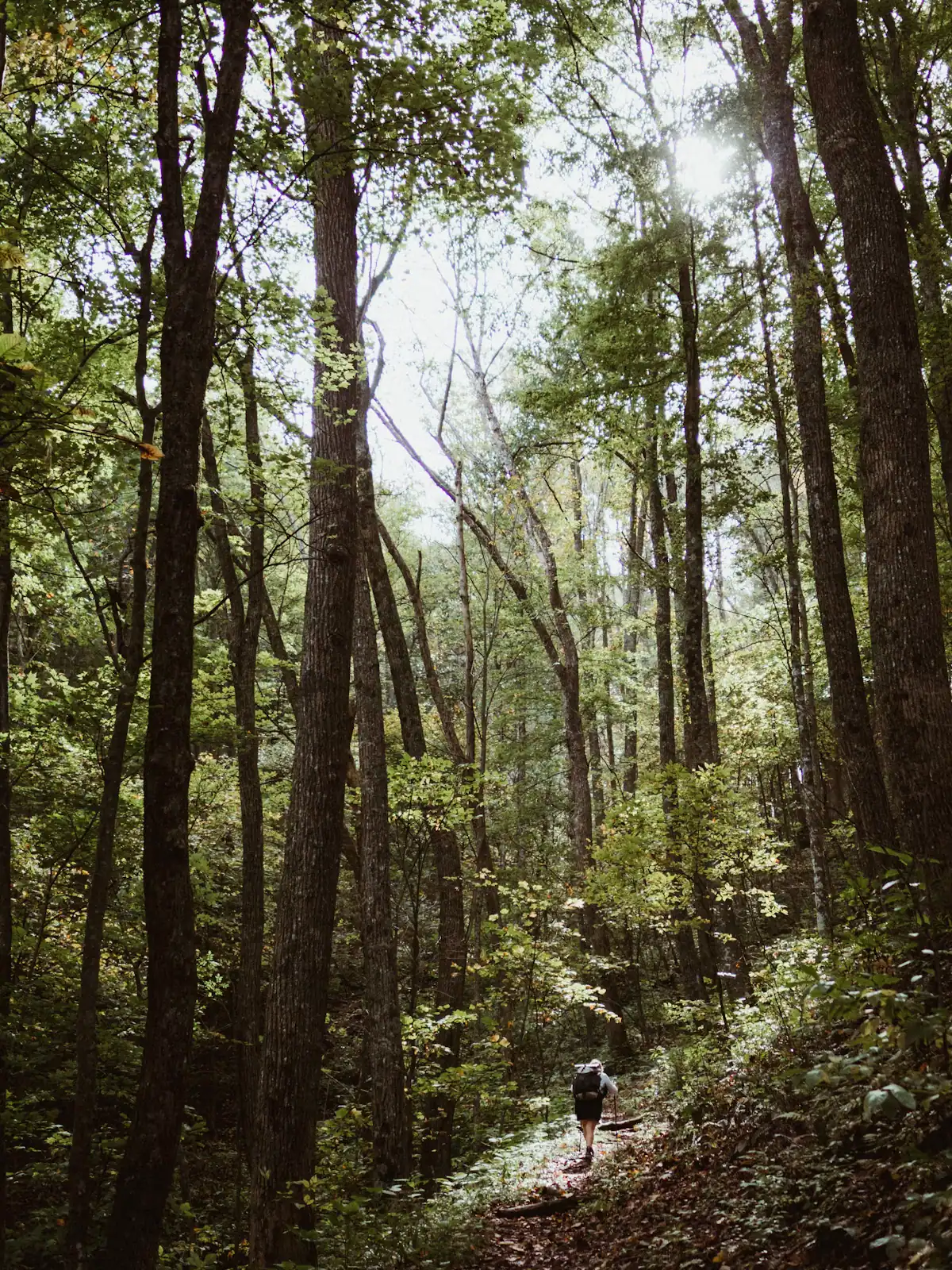
  • A lone walker on a narrow path through tall forest
    Trail

    Benton MacKaye Trail

    Free

    The quieter long trail: 300 miles from Springer Mountain to the Smokies, and the one that actually runs through Fannin County.

    1–8 hoursFree. No permit required for day walking, no facilities on the trail.0 ft away

    Photograph: Unsplash

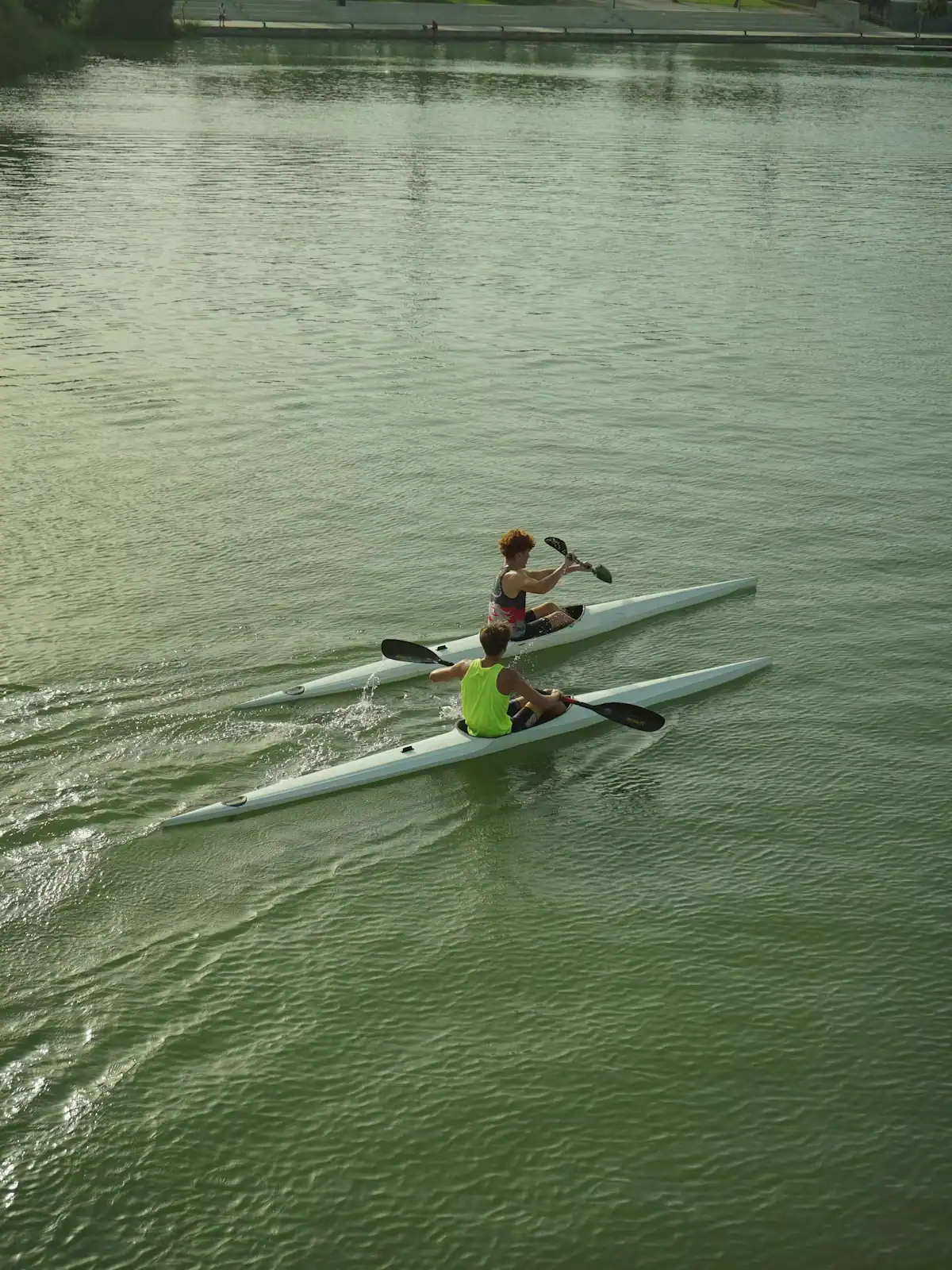
  • Two paddlers in kayaks on flat green water below a steep wooded bank
    Park

    Deep Hole Recreation Area

    The Forest Service put-in at the head of a 13.8-mile river trail, forty minutes up the Toccoa valley from Blue Ridge.

    2–8 hoursDay-use parking fee; camping charged per night.1.5 mi away

    Photograph: Unsplash

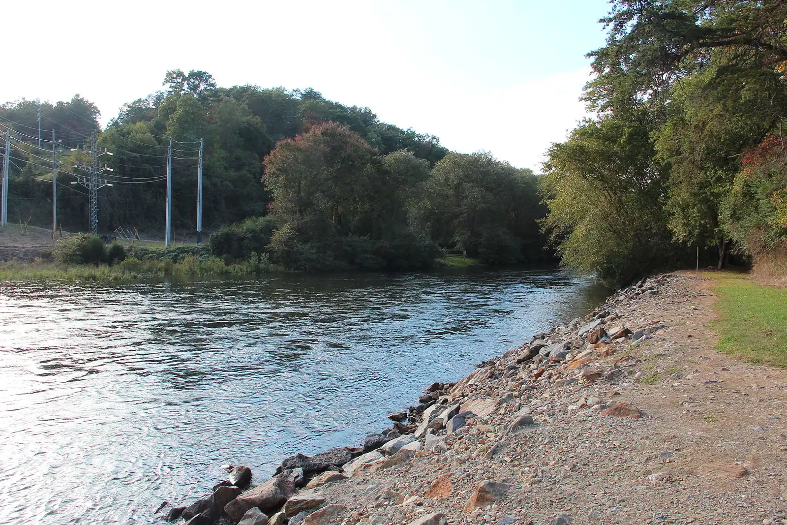
  • A shallow river running over rock ledges between steep banks of dense forest
    Water feature

    Toccoa River

    Free

    One river, two personalities: a lazy summer float above the lake, and a cold tailwater below the dam that fishes all year.

    2–7 hoursFree to access. Forest Service recreation areas charge a day-use parking fee, and rentals and shuttles are extra.5.4 mi away

    Photograph: Thomson200

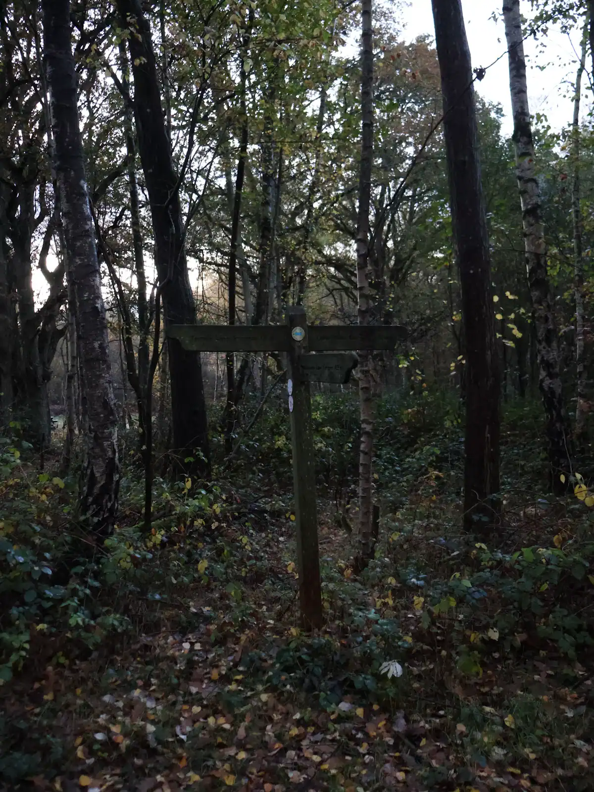
  • A wooden trail signpost standing in dense autumn woodland
    Trail

    Aska Adventure Area

    Free

    A ridge of Forest Service singletrack wedged between the lake and the river, and the closest real hiking to most Blue Ridge cabins.

    1.5–6 hoursFree. No permit, no parking fee, no facilities.6.8 mi away

    Photograph: Unsplash

Swinging Bridge: common questions

Is the Toccoa River Swinging Bridge really the longest east of the Mississippi?

That is the local claim, repeated on tourism pages and trail signs, and a span of around 270 feet is usually quoted with it. We could not trace either figure to the Forest Service, which built and maintains the bridge, or to any body that would certify it. Go for the bridge rather than the record. A long cable footbridge that flexes under your feet over a clear mountain river is worth the drive whether or not the superlative stands up.

How do you get to the Toccoa River Swinging Bridge?

It sits in the Chattahoochee National Forest south of Lake Blue Ridge, off the GA-60 corridor and then along gravel Forest Service road. There is no formal car park, just verge pull-ins. Allow an hour from Blue Ridge and expect the last few miles at fifteen miles an hour. The better option is to park at Deep Hole Recreation Area on GA-60, which is paved and has facilities, and walk the Benton MacKaye Trail upstream about two and a half miles.

Can you drive right up to the swinging bridge?

Close, but not to it. The short approach leaves you a few minutes on foot from a gravel pull-in, which is why most visitors are in and out inside half an hour. A car with ordinary clearance manages the road in dry conditions and has a much harder time after a wet spell. Mobile signal disappears well before the last turn, so download or screenshot your route before you leave the paved road.

Is the swinging bridge safe for children?

Yes, with supervision. The deck is narrow timber with cable handrails at roughly adult waist height, and it genuinely sways, which is the point of it. Hold small children rather than leading them by the hand, and carry a toddler. The one piece of etiquette that matters is not bouncing the span when other people are on it. There is a substantial drop to the water and no solid rail.

Is the Toccoa River Swinging Bridge open right now?

Check before you drive. The bridge has been closed for repair in the past and the Forest Service roads that reach it can be gated in winter or blocked by deadfall after storms, sometimes with no notice. The Blue Ridge Ranger District is the authority on both the structure and the road surface. An hour of gravel driving to find a barrier across the trail is the most common bad day people have here.