Seasonal
Where the Leaf Front Is, and How to Find Out Before You Leave
Featured
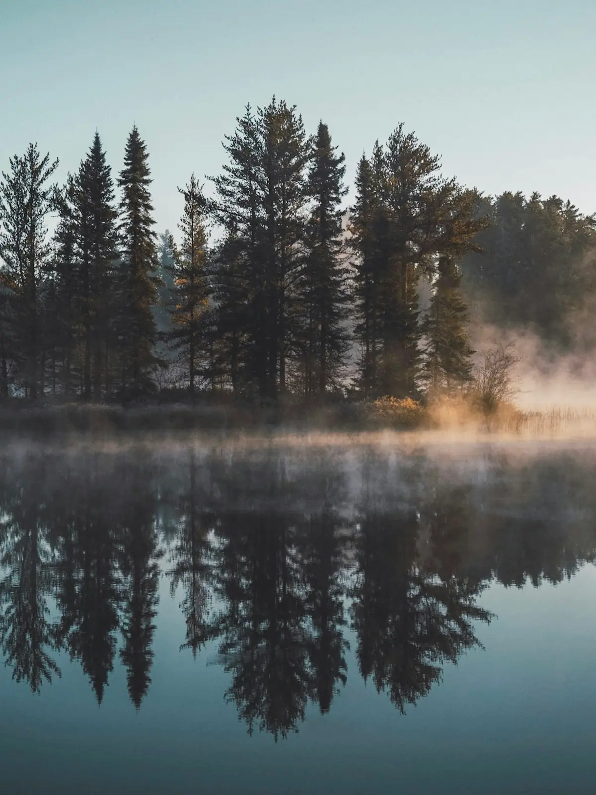
There is no peak date, only a front that comes down the mountain. The county spans about 2,300 feet of elevation, and that is the whole forecast.
Photograph: Unsplash
Seasonal
A reservoir at 1,686 feet in July is a different lake in February. The level swings roughly 20 feet in a typical year and the shoreline moves a long way out.
 Unsplash
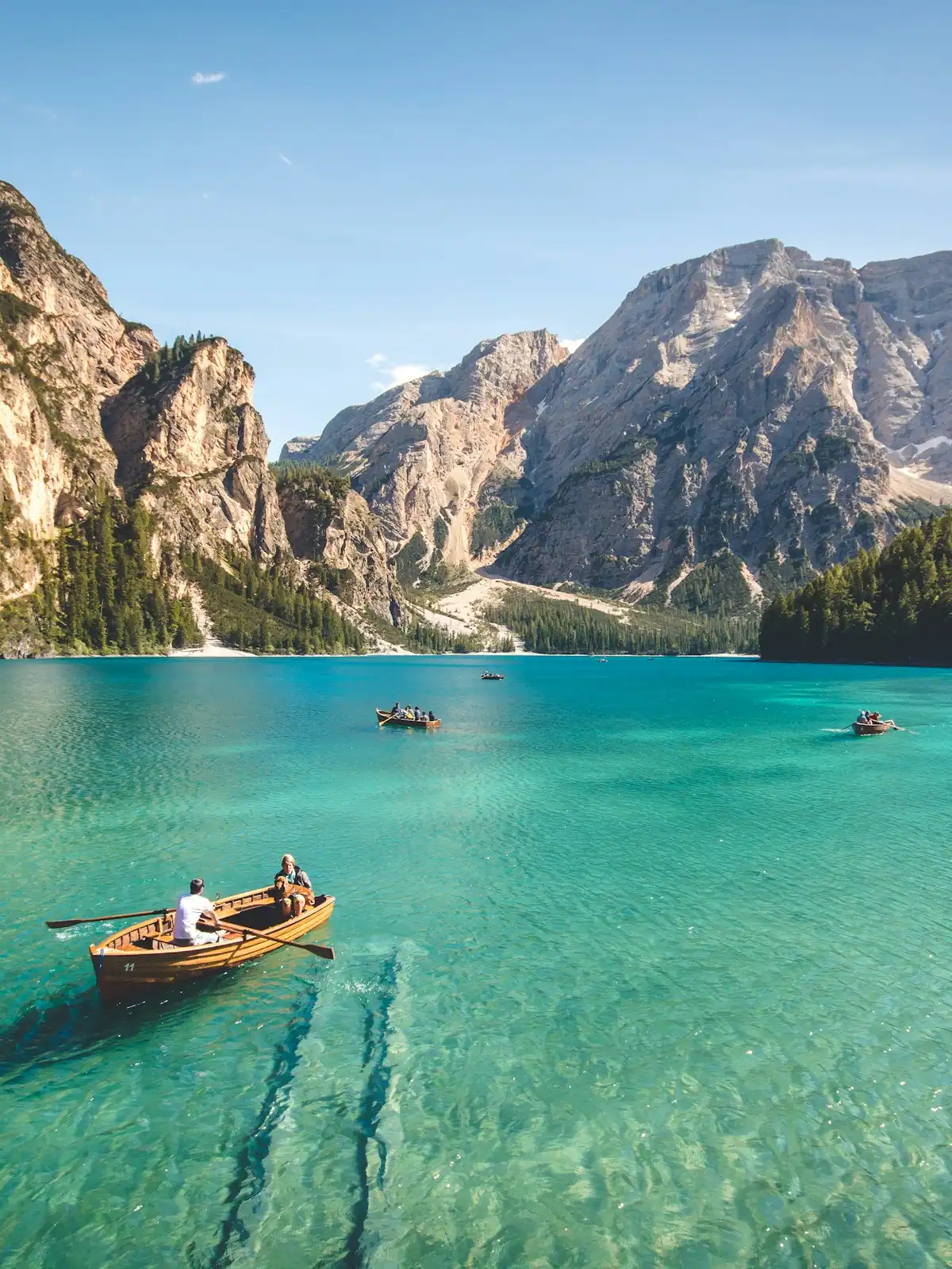
Visitors who book a lake cabin in February on the strength of a July photograph are often surprised by what they find, and the reason is that Lake Blue Ridge is a working reservoir rather than a natural lake.
Blue Ridge Dam was completed in 1930 across the Toccoa River, stands 175 feet high and 1,553 feet wide, and generates up to 13 megawatts from a single generator. The Tennessee Valley Authority manages the reservoir behind it. That reservoir covers about 3,300 acres with somewhere between 60 and 65 miles of shoreline, and it is 246 feet deep at its deepest point.
The number that matters to a visitor is the fluctuation. The lake sits at around 1,686 feet above sea level at full summer pool, and the level moves by about 20 feet in a typical year. Twenty feet of vertical on a shoreline this convoluted translates into a great deal of horizontal. Swimming edges that are a short walk from a dock in July are a long walk across mud and stumps in January. Some boat ramps run out before they reach the water. Floating docks sit on the bottom.
None of this is a fault and none of it is unusual for a TVA reservoir, but it is rarely mentioned in a rental listing. If you are booking outside high summer and the lake itself is the reason, ask the owner directly what the access looks like at that time of year, and check the current reservoir level with the TVA before you tow a boat up here.
The compensation is that the drawn-down lake is a genuinely interesting thing to walk. Old roadbeds, stumps from the forest that was cleared before the valley flooded, and a shoreline you cannot reach at any other time of year all come out of the water. Most of that shoreline is Chattahoochee National Forest rather than private lots, which is why the lake looks emptier than one this close to Atlanta has any right to look.
Full pool is broadly a summer condition. Plan swimming and boating for mid-June to mid-August and you will get the lake in the photographs.
SourcingDam completion year, dimensions, generating capacity, surface area, shoreline length, maximum depth, full summer pool elevation and the typical annual fluctuation as published for Blue Ridge Dam and Reservoir. Check the current level with the TVA before travelling with a boat.
Plan around it
The pages that carry the practical detail behind this story — hours, costs, access and where it sits on Blue Ridge.
Things to do
Lake Blue Ridge is deep, cold and mostly ringed by national forest. Boat ramps, the winter drawdown, where to swim and what the water is…
Things to do
Trout fishing around Blue Ridge, Georgia: the licences you need, the tailwater below the dam, wild-trout creeks with a 16-inch limit, and…
Things to do
When to visit Blue Ridge, Georgia: how leaf colour really works at these elevations, what closes in winter, and the month nobody books but…
Guide
The Best Time to Visit Blue Ridge, Month by Month
Four schedules decide what you can do here, and none of them is the weather: the railway season, the picking calendar, the dam releases…
Newsroom
There is no peak date, only a front that comes down the mountain. The county spans about 2,300 feet of elevation, and that is the whole forecast.
Photograph: Unsplash

U-pick is a crop, not an opening time. A family arriving for apples in early August finds peaches, and one arriving for strawberries in July finds nothing.
Photograph: Unsplash

Same water as the Toccoa, different state, different name, and a river bed that is largely dry unless the TVA has opened a gate that morning.
Photograph: Unsplash
Who reported this
Trails & Rivers Editor
Wyatt guided on the Toccoa and the Ocoee before he wrote about either, and still reads the week by the dam release schedule rather than the calendar. He covers the national forest end of this county: Forest Service roads, the Benton MacKaye Trail, trout water and leaf timing. He will tell you a waterfall is a cascade rather than a plunge before you drive forty minutes of gravel to find out.
Our newsroom is machine-assisted and human-edited: stories are drafted from verified public sources and checked before they publish. How that works is set out in our editorial standards.