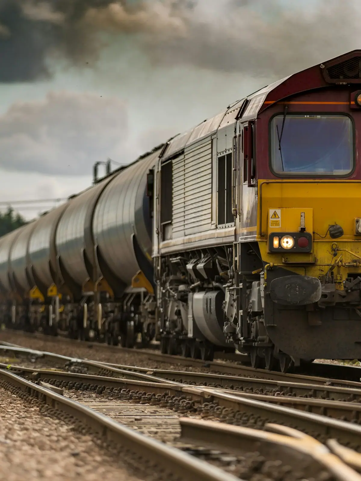
Blue Ridge Scenic Railway
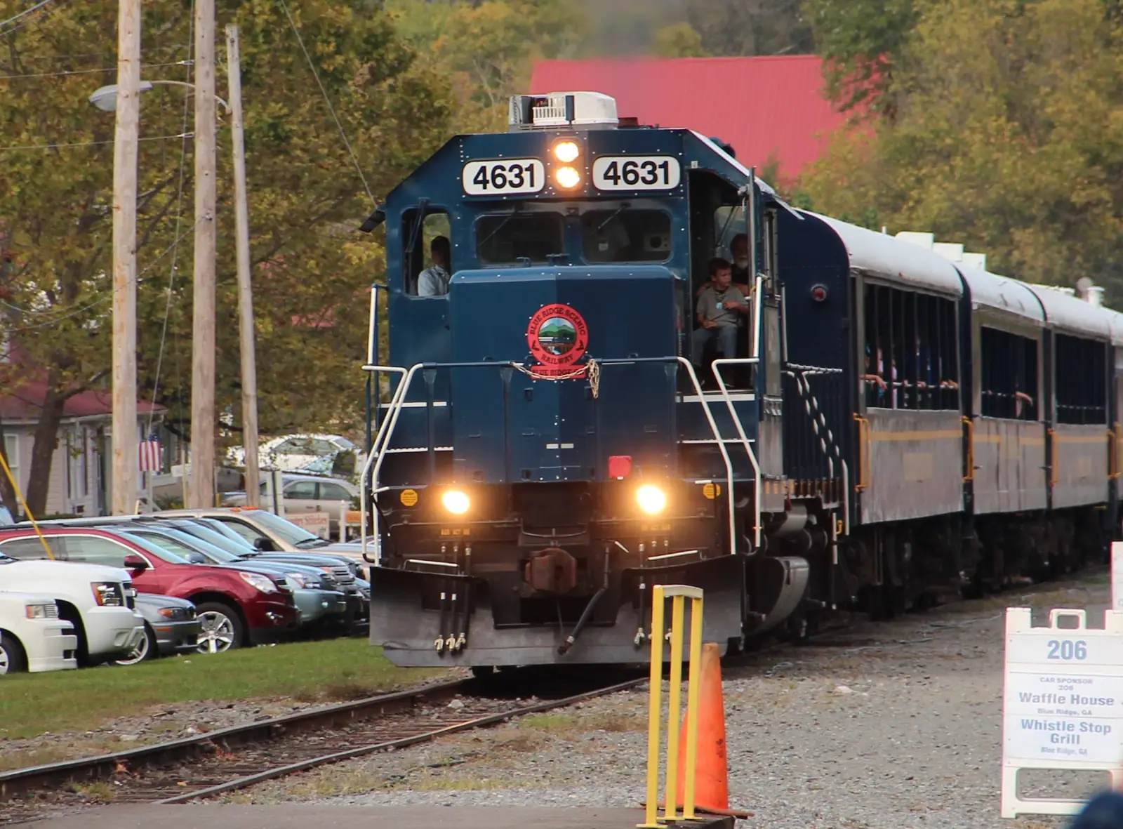
Twenty-six miles of river running to a town cut in half by a state line, in an open-sided coach with the windows down.
2–5 hoursTicketed. Fares vary by coach class, trip length and season.
Photograph: Thomson200
Attraction directory
Last updated
Every attraction worth the drive in Blue Ridge, Georgia and Fannin County, with what each one really is, how long it takes and when it is closed.
UnsplashFannin County does not have many attractions in the sense a city has attractions. It has one excursion railway, one very large apple farm, one reservoir, one famous footbridge, a handful of small-town oddities, and about 106,000 acres of national forest that is not an attraction at all but is where most of the good days happen. That is the honest inventory, and a visitor who knows it in advance plans a better weekend than one who arrives expecting a list of twenty.
The organising fact is that these places are of wildly different sizes and take wildly different amounts of time. The Blue Ridge Scenic Railway consumes most of a day. Mercier Orchards can be twenty minutes or three hours depending on whether you are buying a pie or picking a bushel. The Toccoa River Swinging Bridge is a ten-minute stop at the end of a forty-minute drive on gravel, which is a ratio you should know before you set off. The Swan Drive-In is a summer evening. Springer Mountain is a serious half-day with an unpaved approach.
Geography sorts them for you. North of town on GA 5 sits the orchard, then the twin towns of McCaysville, Georgia and Copperhill, Tennessee, which face each other across the state line with the border painted on the pavement and the Toccoa River changing its name to the Ocoee as it passes between them. East and southeast is Lake Blue Ridge, behind a dam finished in 1930, with the Forest Service day-use area at Morganton Point on its northern shore. South along Aska Road is the trail country between the lake and the river. West is Ellijay and the Cohutta country. Beyond the southern edge of the county, over an hour away, are Amicalola Falls and the trailheads for the Appalachian Trail's southern end.
Two things to take seriously before you drive anywhere. First, several of these places are inside the Chattahoochee National Forest, reached on unpaved forest roads that wash out, get gated and are not maintained to the standard of a county road. Check current conditions rather than trusting a satellite view. Second, almost everything here is seasonal in some way: the railway's timetable changes by block through the year, the orchard's u-pick depends on what is ripe, the lake drops about twenty feet over winter, and the drive-in does not run all year.
The money side is unusual too, and in your favour. Almost everything on this list is free: the forest, the trails, the waterfalls, the swinging bridge, the shoreline, the state line in McCaysville, the two blocks of downtown. Only a handful of things here take a ticket at all, and the railway is by a wide margin the largest of them. A family can fill three days in Fannin County and spend money on exactly one attraction, which is not something you can say about many places within two hours of a major city.
Each entry below says what the place is, roughly how long it takes, and the thing that will trip you up.
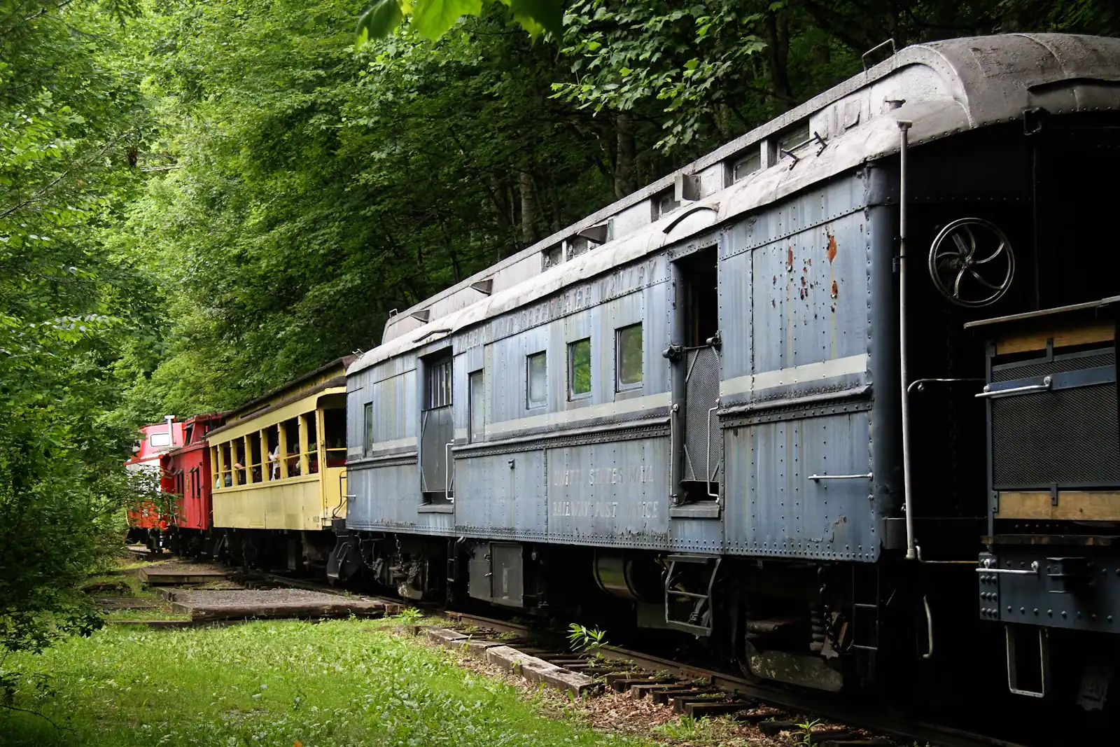
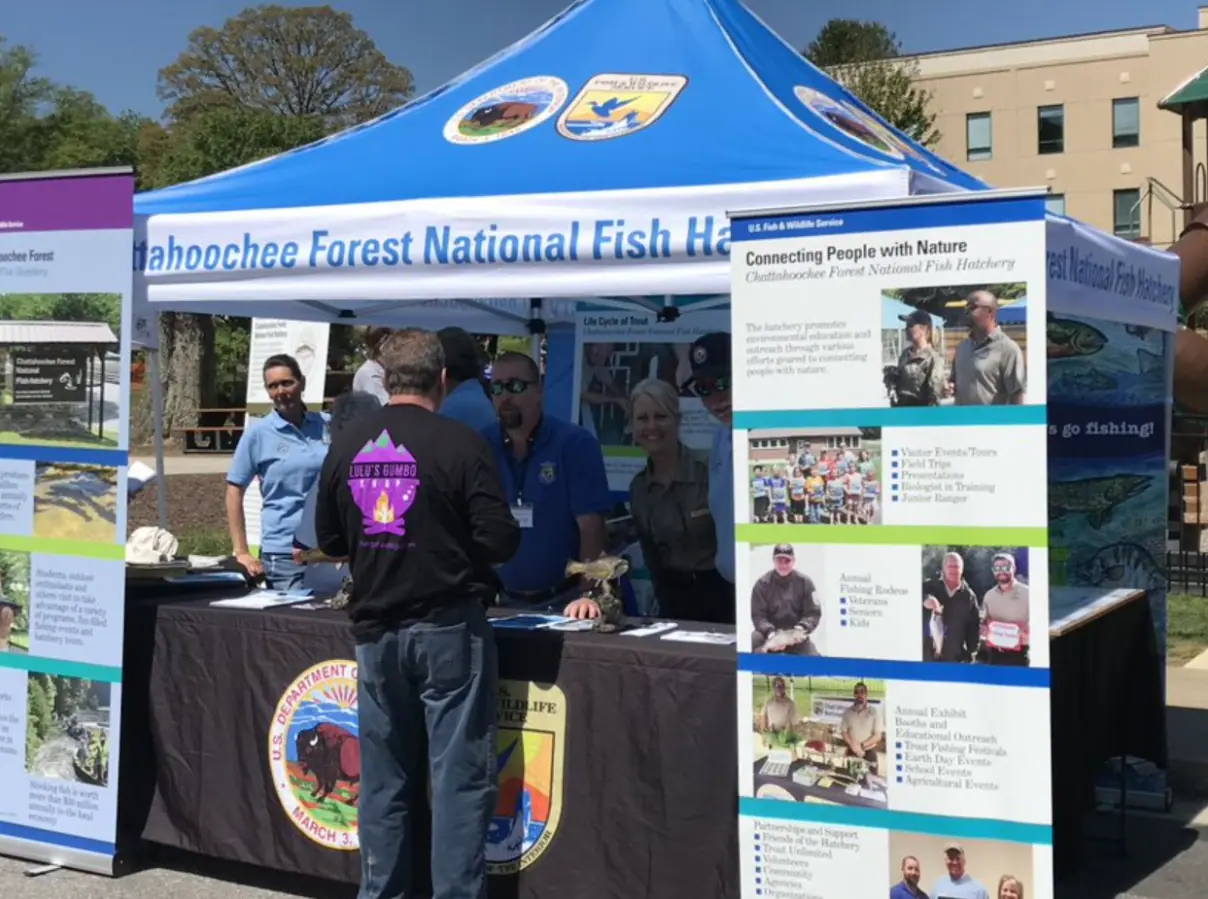
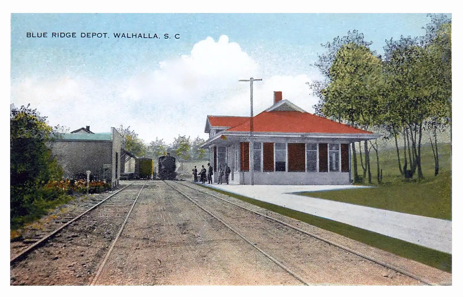
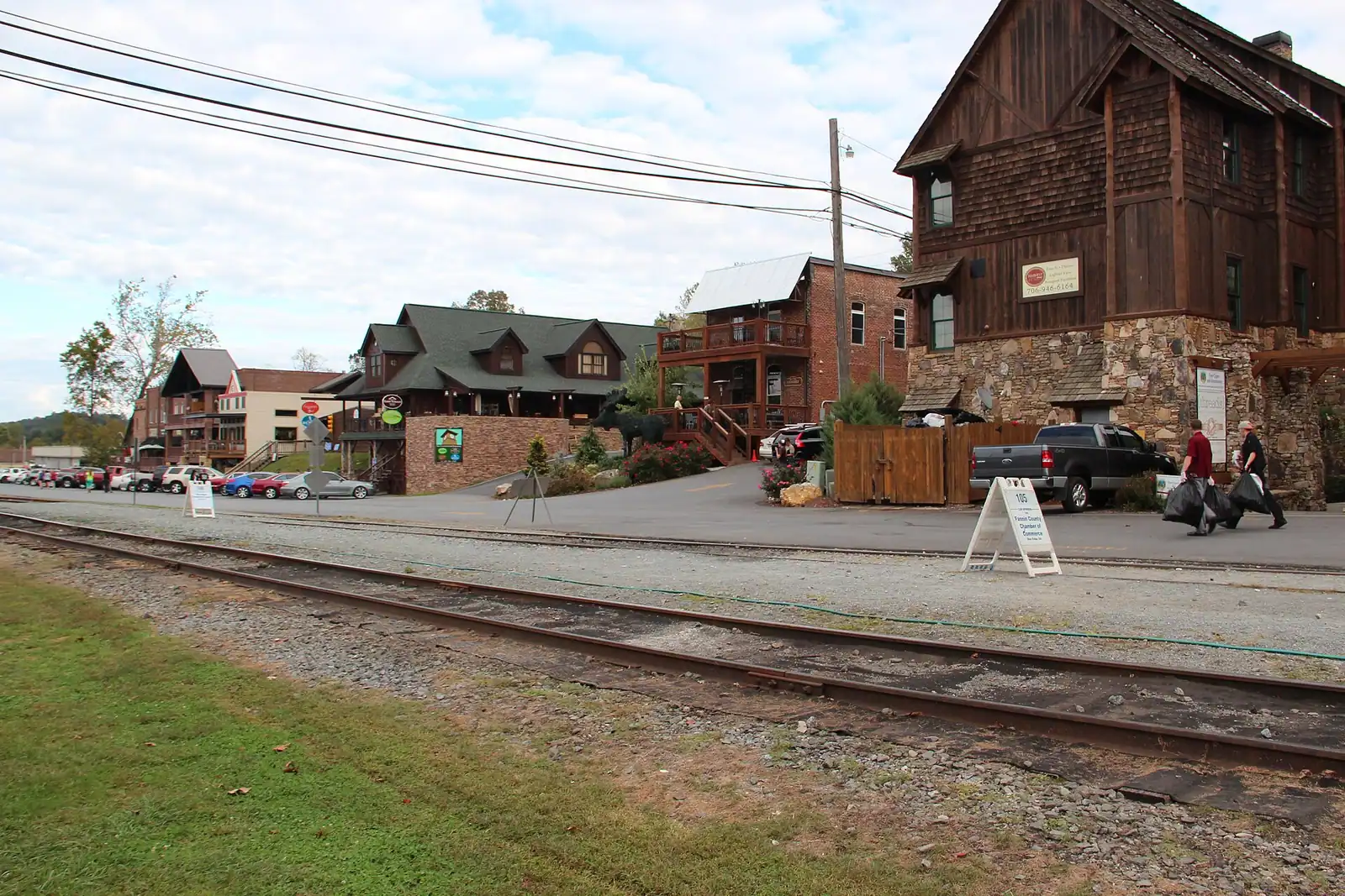
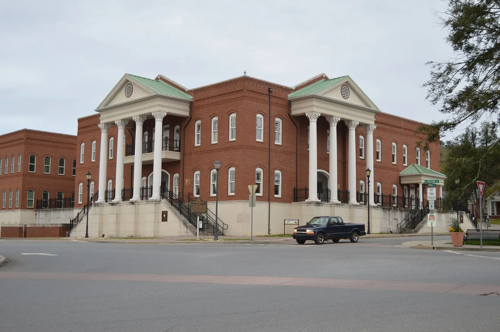
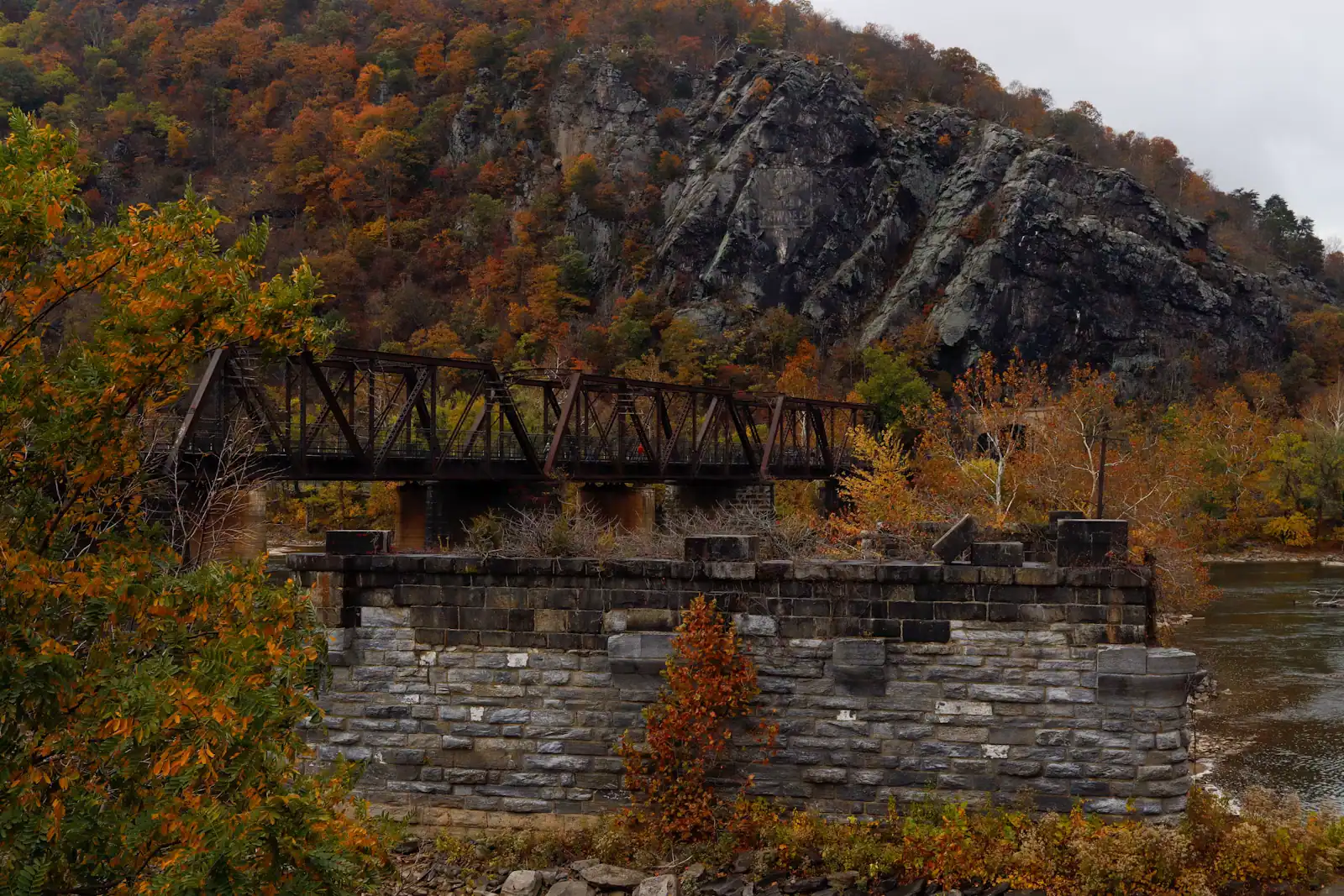
The depot on Depot Street is the reason Blue Ridge exists at all. The town was laid out in 1886 when the Marietta and North Georgia Railroad reached this point, and the county seat moved here from Morganton nine years later because of it. The building is now the boarding point for the excursion train and the anchor of the whole downtown.
The Blue Ridge Scenic Railway has run since 1998 on track that the Georgia Northeastern Railroad still uses for freight, which is why the ride feels like a working railway rather than an attraction built to look like one. The route is 26 miles there and back along the Toccoa to McCaysville and Copperhill. The standard excursion takes about four hours, of which roughly two are a layover in the twin towns; a shorter express without the layover runs on selected dates.
Allow a full half day including parking and the walk to the platform. Open-air cars are the better seat and the colder one. Autumn dates are the first thing in the county to sell out, so book the train before you book dinner, a tour or anything else that weekend.
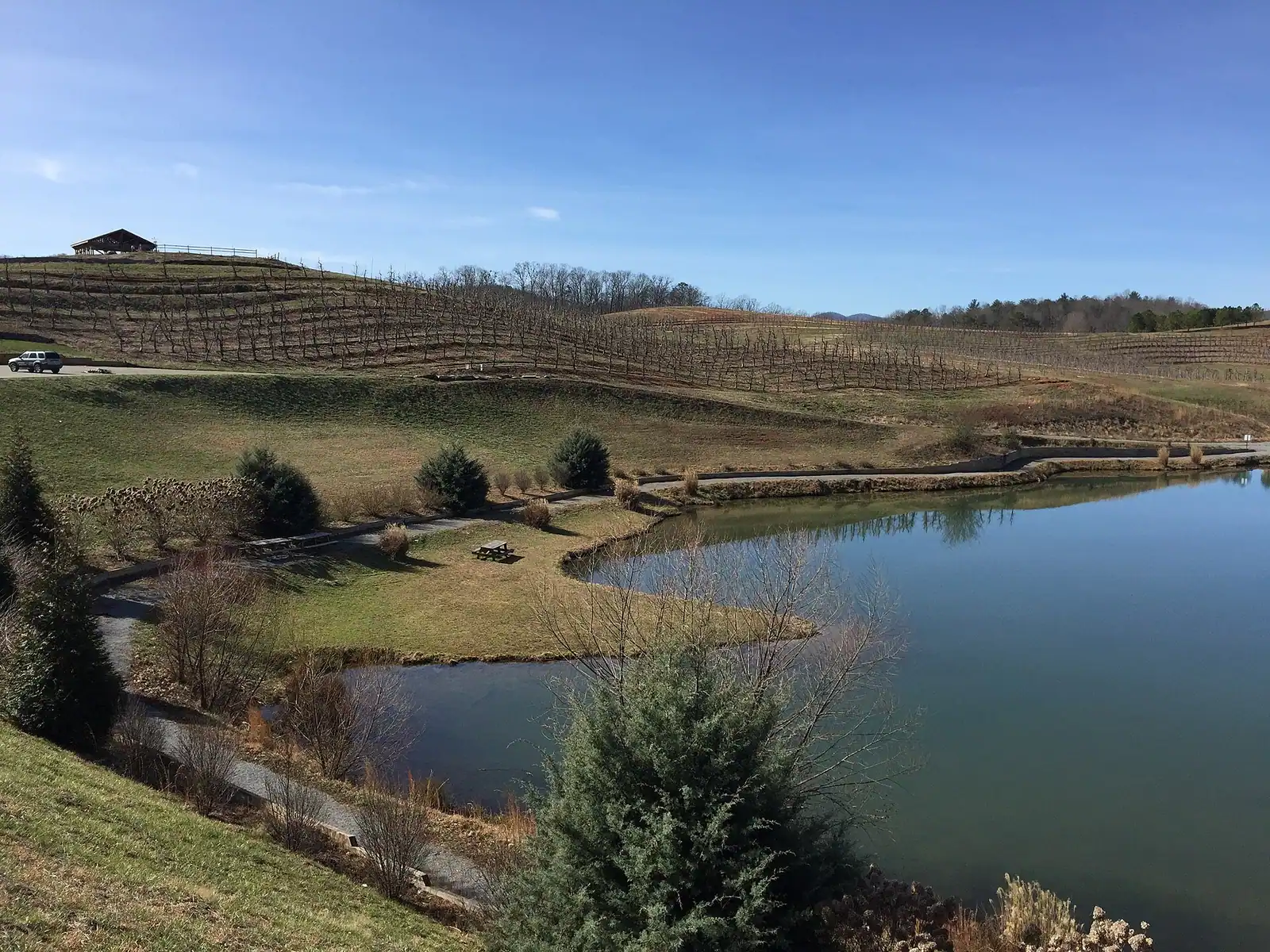
Ten minutes north of the depot on GA 5, Mercier Orchards has been worked by the same family since 1943 and grows more than forty varieties of apple. It is the second-busiest place in the county and on an October Saturday it may be the first.
Three things happen there. The market and bakery run year-round, and the fried pies and cider doughnuts are what the queue is for. The cidery presses, ferments and cans hard cider on the property, which the farm says no other Georgia orchard does. And u-pick opens when a crop is actually ready: strawberries in late spring, blueberries and blackberries in summer, peaches, then apples from late summer through autumn.
The constraint is the calendar and the car park. U-pick fields close when they have been picked over, sometimes at short notice, so check what is open the week you travel rather than assuming apples in October means apples on your Saturday. And the turn-in from GA 5 backs up badly in leaf season. A weekday visit, or the first hour of the day, is a genuinely different experience from a Saturday lunchtime.
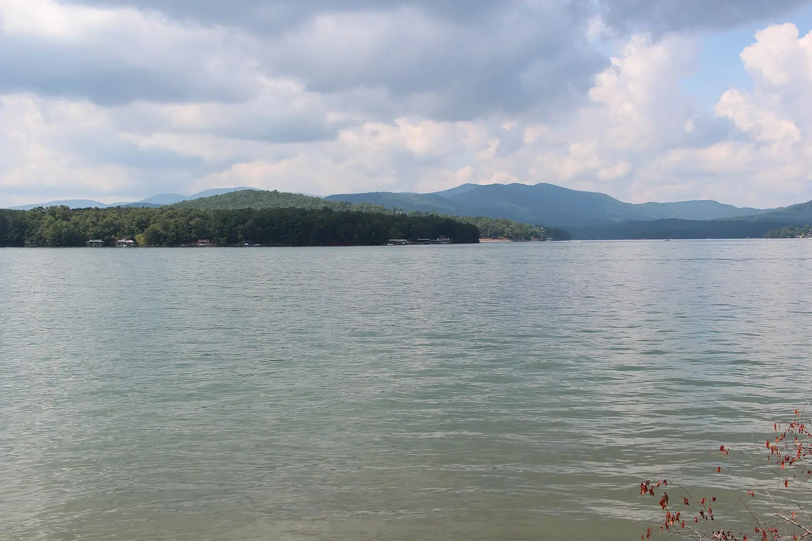
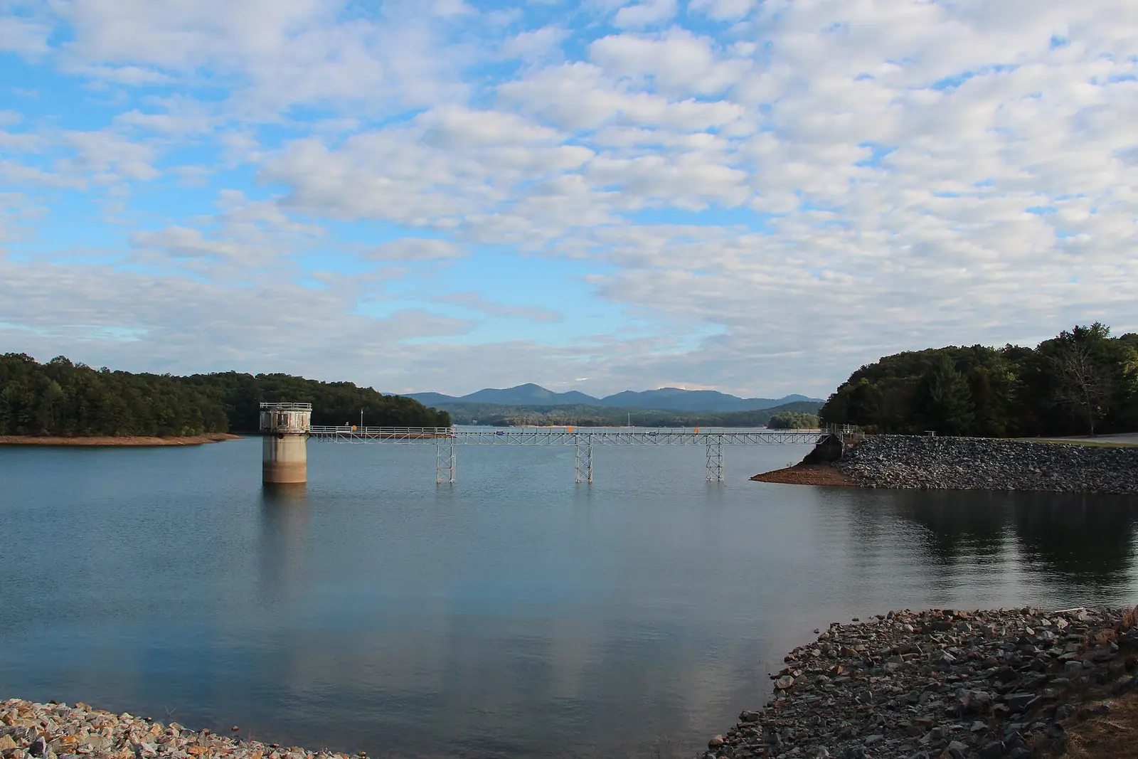
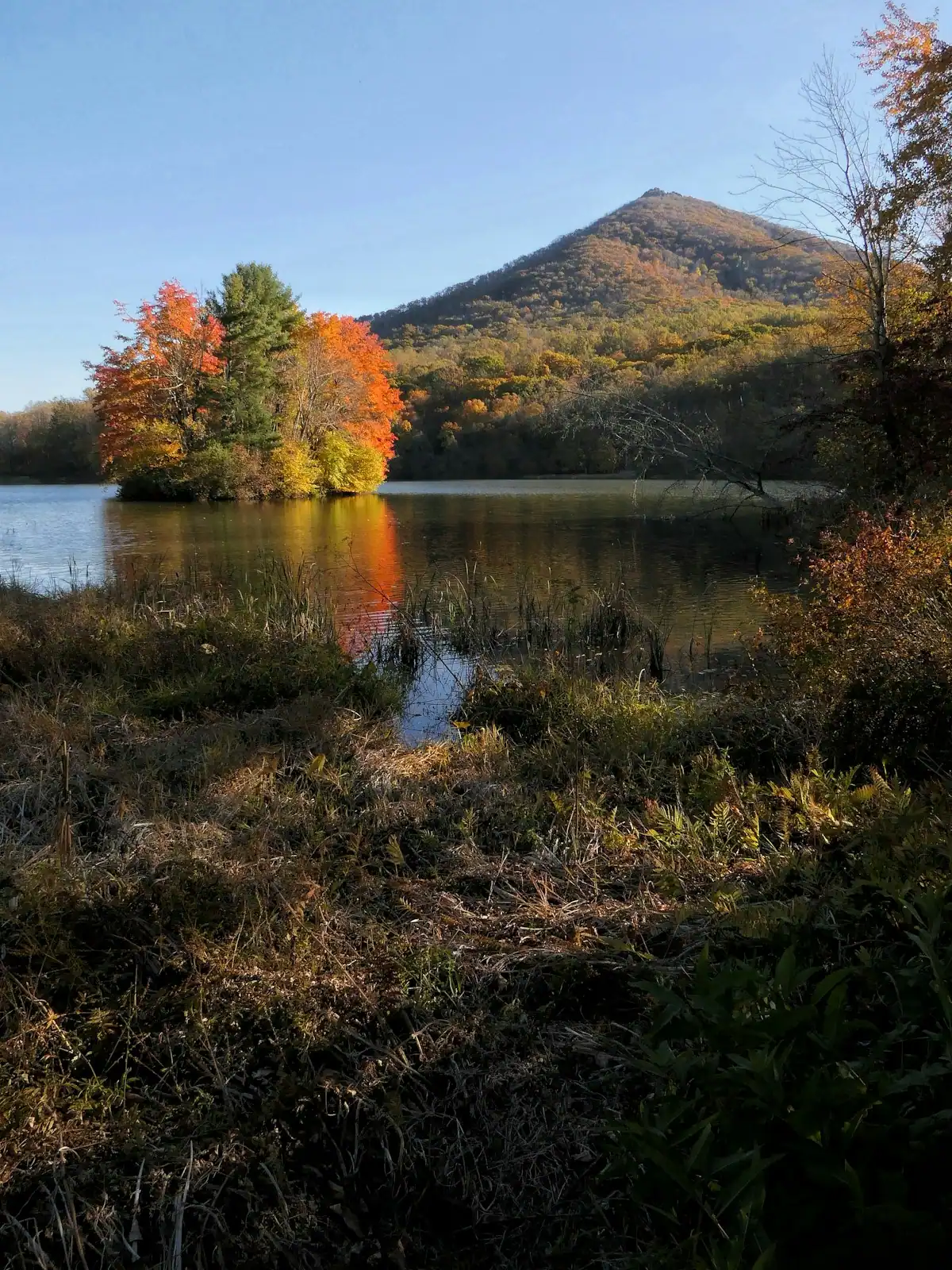
Lake Blue Ridge is a reservoir rather than a natural lake. The Blue Ridge Dam across the Toccoa was completed in 1930 and the lake has long been managed by the TVA. It covers around 3,300 acres with somewhere between sixty and sixty-five miles of shoreline, and the striking thing about it is how little is built on that shoreline: most of the bank is Chattahoochee National Forest, so from a boat you see trees rather than houses.
Morganton Point, on the north shore, is the Forest Service's day-use and camping area, with the county's established swimming beach. The Blue Ridge Lake Marina is where boats are rented and launched. The dam itself is worth the short detour for the view down the tailwater, where the river runs cold and clear below the outflow.
The constraint here is the one visitors most often miss. Full summer pool is around 1,686 feet, and the lake is drawn down roughly twenty feet over winter. From late autumn until spring, the water is well below the docks in every photograph you have seen, boat ramps can be unusable, and the marina is not on a year-round schedule. For a lake day, come between late spring and early autumn.
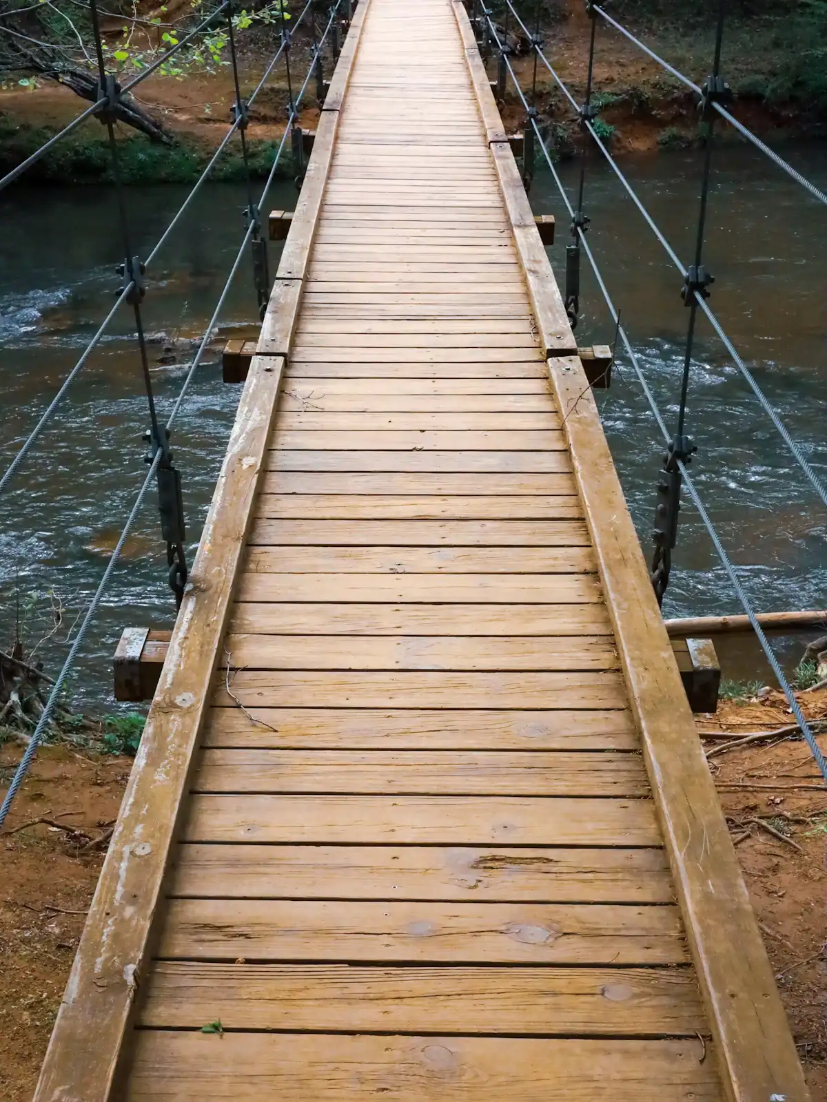
A long suspension footbridge slung across the Toccoa in the national forest south of town, carrying the Benton MacKaye Trail over the water. It is regularly described locally as the longest swinging bridge east of the Mississippi. That is the claim you will see on signs and in brochures; treat it as a local claim rather than a measured fact, because published figures vary.
What is not in dispute is that it is a genuinely good piece of engineering to stand on, it moves underfoot, and the river beneath it is beautiful.
Two warnings, both important. The approach is unpaved forest road, and after heavy rain it is rutted and slick enough to be a poor idea in a low car or a rental you care about. Allow forty to fifty minutes from town and do not attempt it in the dark. And the bridge has been closed for repair at times. A structure of this kind over a river in a wet climate needs periodic work, and a closure is not announced anywhere a visitor would naturally look. Check current Chattahoochee-Oconee National Forest alerts before you commit an afternoon to it.
If it is open, pair it with a stop at Deep Hole Recreation Area on GA 60 so the drive earns its keep.
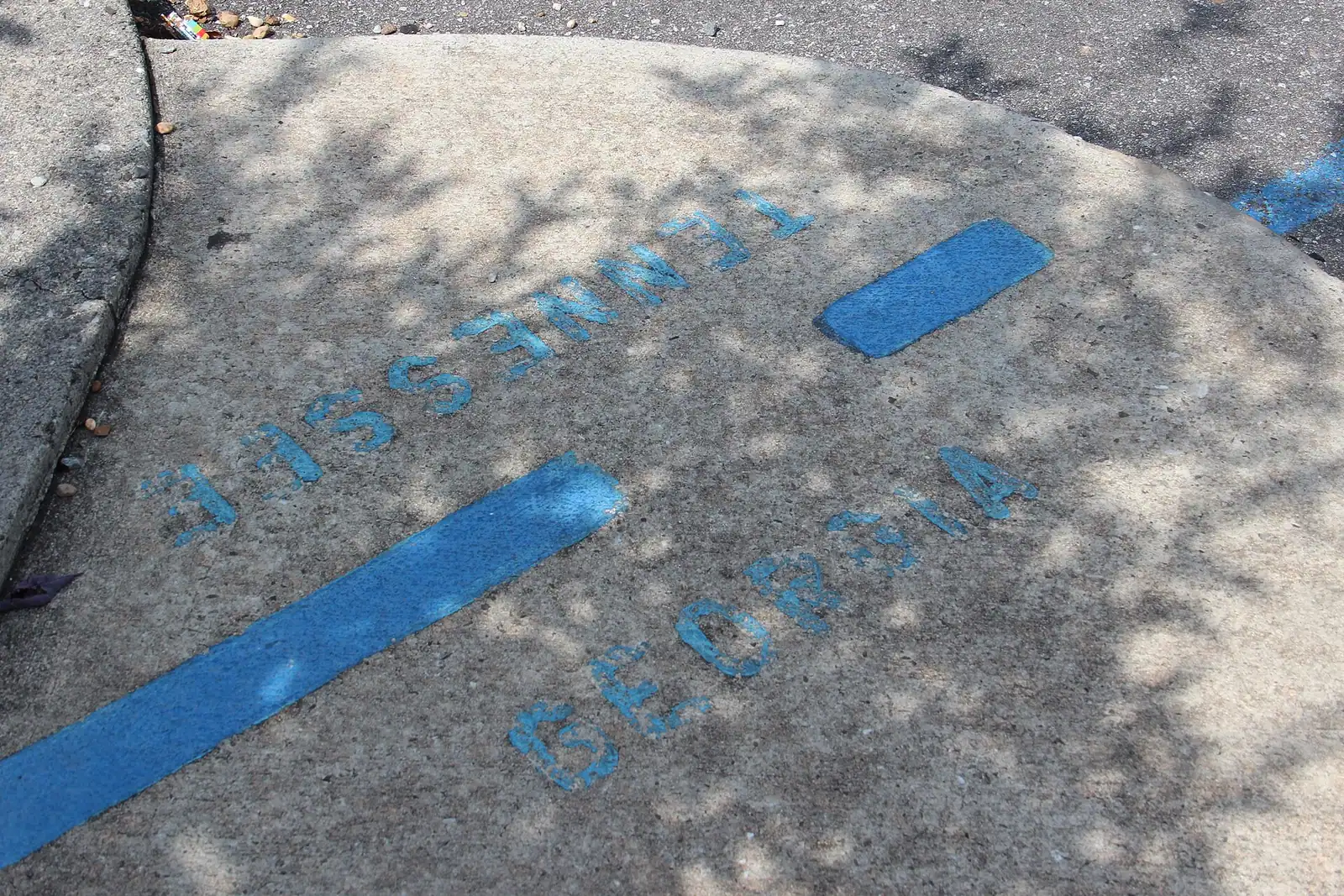
Twenty to twenty-five minutes north on GA 5, McCaysville, Georgia and Copperhill, Tennessee sit on opposite sides of the state line and function as a single small town of a few thousand people. The border runs diagonally through the middle of it, the street grid follows the river rather than the boundary, and a blue line painted across the pavement marks where one state stops and the other starts. Standing with a foot in each and having the photograph taken is the local tradition, and it is what most of the scenic railway's passengers do with their layover.
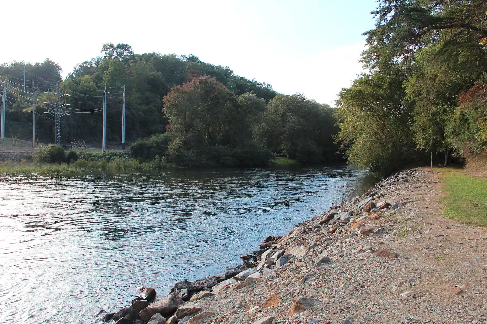
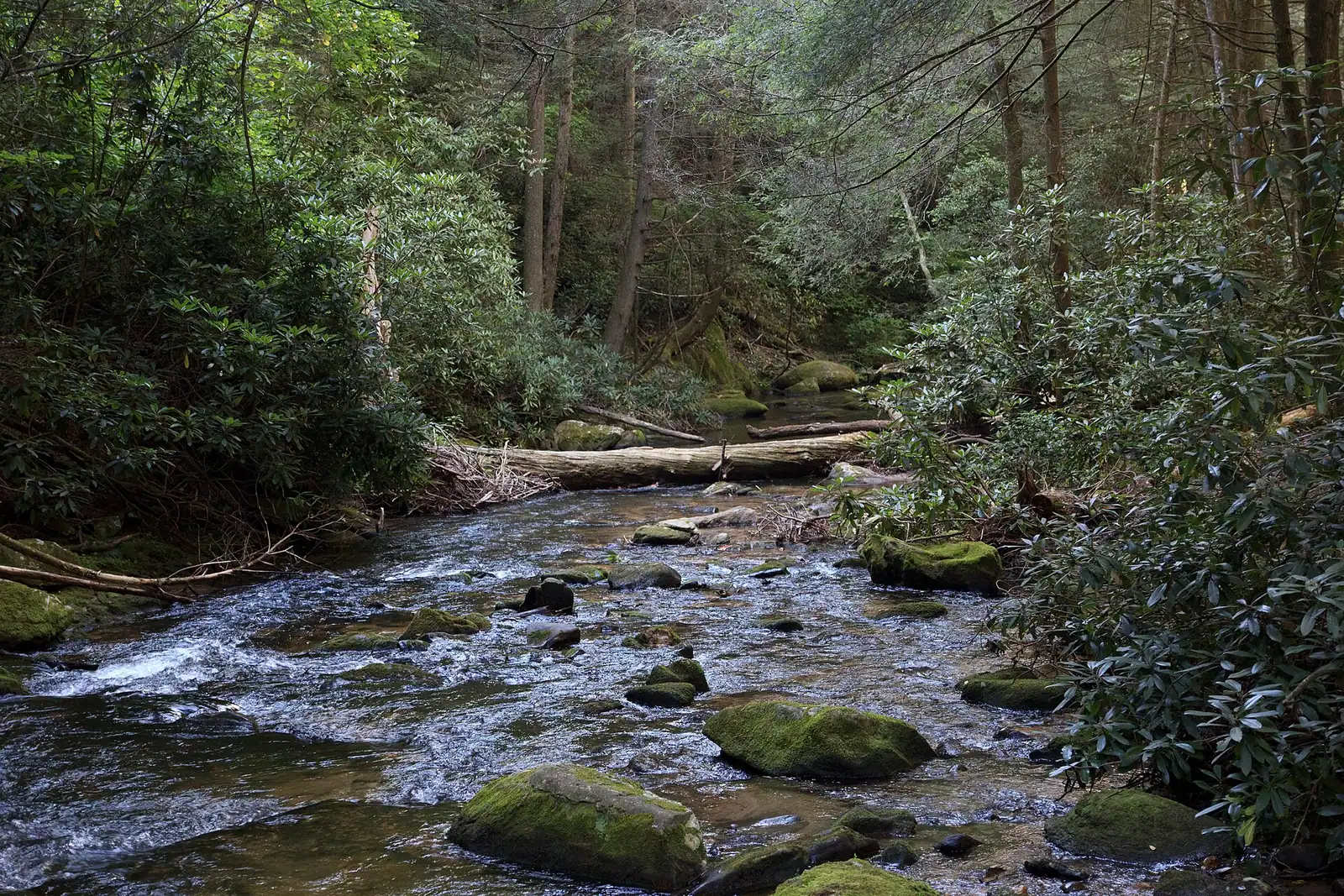
The river does something similar. The Toccoa flows fifty-six miles through Georgia and becomes the Ocoee at exactly this point, which is a rare thing for an American river to do and the reason whitewater guides and trout anglers talk about two different waters that are physically the same one.
This is also copper country. The basin around Copperhill and Ducktown was mined and smelted for more than a century, and the landscape carries the history. The towns themselves are a couple of hours of shopfronts, a river bridge and lunch, not a full day. Arrive by train if you can; parking is easier at the depot end.
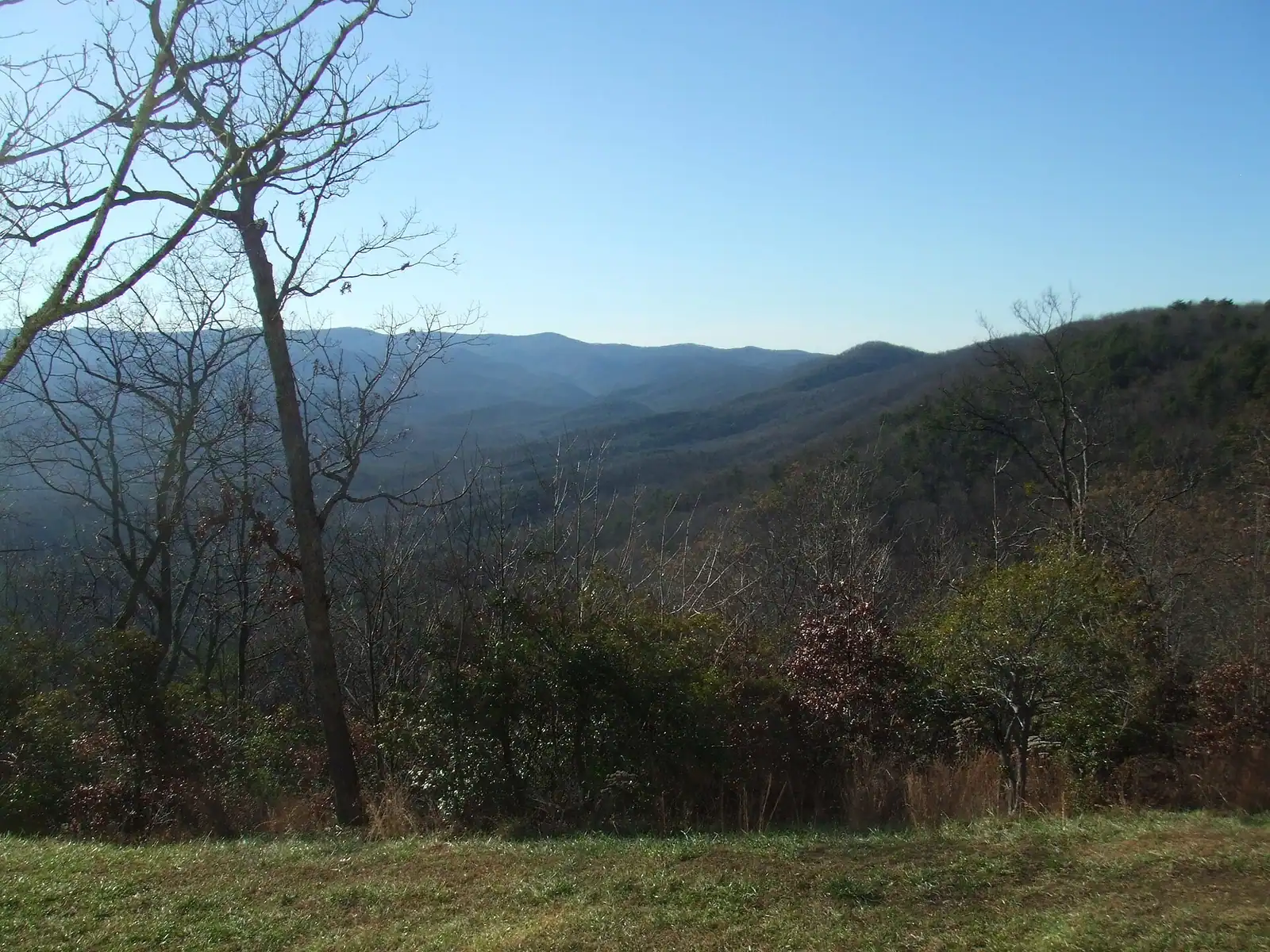
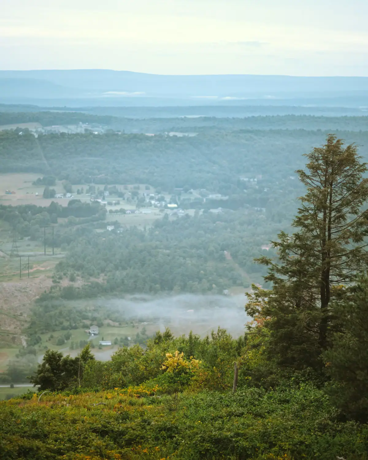
The largest attraction in Fannin County is not a site but a land holding: roughly 106,000 acres of the Chattahoochee National Forest, wrapped around the lake and the river and rising south toward the Appalachian crest.
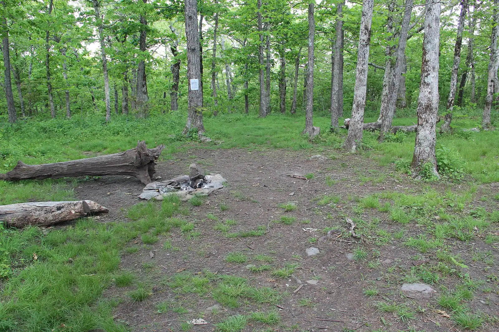
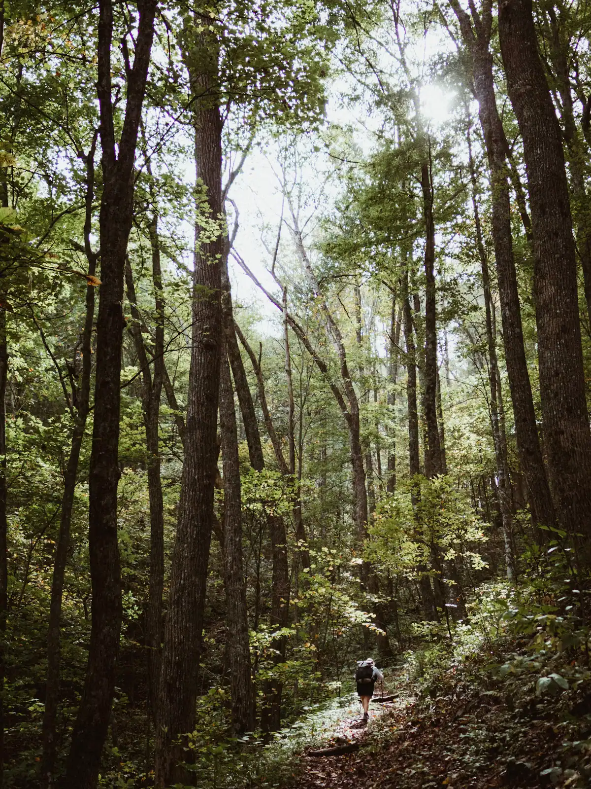
Springer Mountain, at 3,770 feet on the Fannin and Gilmer county line, has been the southern terminus of the Appalachian Trail since 1958, when the end point was moved from Mount Oglethorpe because of development. The Benton MacKaye Trail, nearly three hundred miles of white diamond blazes, begins about a third of a mile north of the same summit and follows the westerly line through these mountains that MacKaye first imagined for the AT. The approach trail from Amicalola Falls State Park is 8.5 miles, which is why so many thru-hikers start their walk to Maine with a day they had not expected.
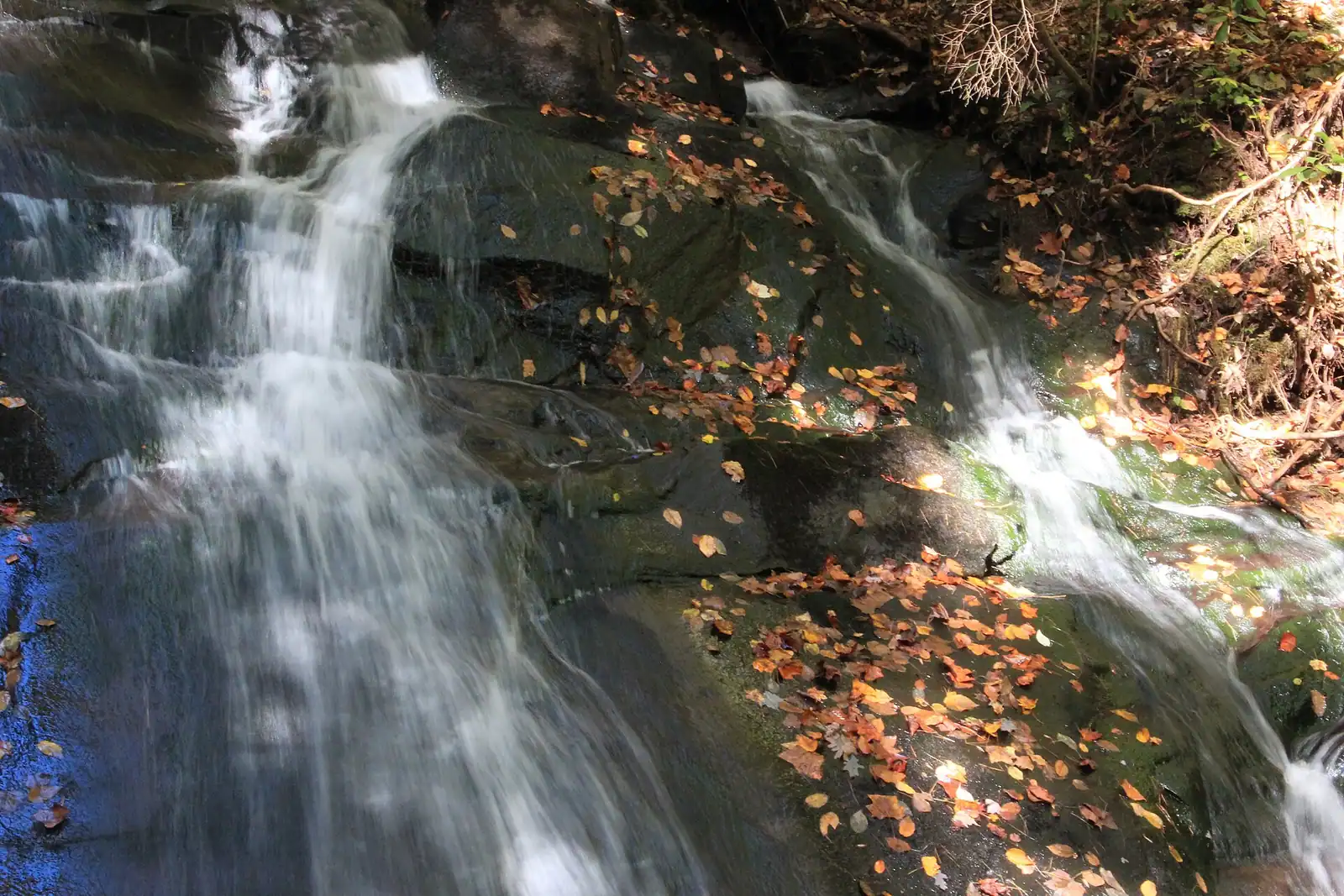
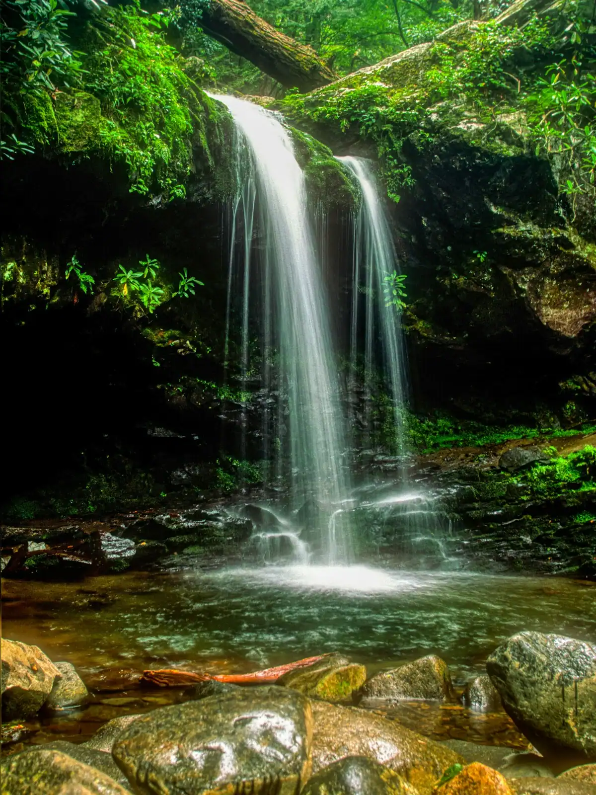
For shorter legs, Fall Branch Falls off Stanley Creek Road is a short steep walk to a real waterfall, and Long Creek Falls, about a mile from Three Forks where the AT and BMT run together, is the best modest hike in the county. The Aska Adventure Area between the lake and the river gives you loops of an hour or a day without a gravel epic to reach the start.
Forest roads to all of these are unpaved. Forest Service 42 to Springer takes far longer than a map suggests.
These are real and worth knowing about, but none of them is a reason to travel and all of them fit in the gaps.
All 28 places we cover, grouped by area. Filter, sort, or read straight down.
28 places

Twenty-six miles of river running to a town cut in half by a state line, in an open-sided coach with the windows down.
2–5 hoursTicketed. Fares vary by coach class, trip length and season.
Photograph: Thomson200

A fourth-generation apple farm with a bakery, a hard cider house and, on an October Saturday, a car park like a county fair.
1–3 hoursFree to visit the market, bakery and cider house. U-pick and tastings are charged.
Photograph: Thomson200

The Appalachian Trail's first white blaze sits at 3,770 feet, about an hour of mountain road from a Blue Ridge cabin.
1.5–7 hoursFree. No entry fee, no parking charge, no facilities.
Photograph: Thomson20192

Thirty-three hundred acres of cold green water with national forest around most of it, and a level that TVA moves by dozens of feet a year.
1.5–8 hoursFree to look at and to fish from public land. Recreation areas and ramps may charge.
Photograph: Thomson200

One river, two personalities: a lazy summer float above the lake, and a cold tailwater below the dam that fishes all year.
2–7 hoursFree to access. Forest Service recreation areas charge a day-use parking fee, and rentals and shuttles are extra.
Photograph: Thomson200

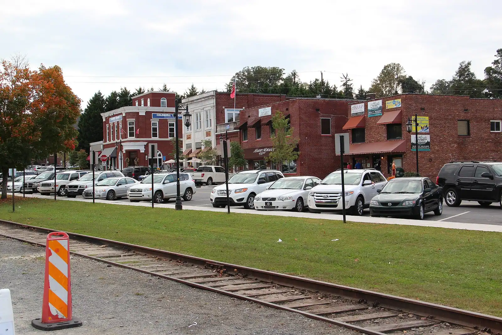
Four blocks of shopfronts facing a working railway depot, small enough to walk twice and busy enough to need a parking plan in October.
1–4 hoursFree. Street parking is free and scarce on peak weekends.
Photograph: Thomson M

Open since 1955 on a field above town: double features, sound through the car radio, and a diner that keeps the place alive.
2.5–5 hoursPaid admission per person for a double feature. Entering for the second film only costs the same.
Photograph: Harrison Keely

A cable footbridge that genuinely sways, hung over the Toccoa on the Benton MacKaye Trail, at the end of a gravel forest road.
0.5–4 hoursFree. No fee, no gate, no facilities.
Photograph: Unsplash

Around 106,000 acres of public land in Fannin County alone, almost none of it signposted, gated or supervised in the way visitors expect.
2–8 hoursFree to enter. Developed campgrounds and some day-use areas charge a fee.
Photograph: USFWS

A ridge of Forest Service singletrack wedged between the lake and the river, and the closest real hiking to most Blue Ridge cabins.
1.5–6 hoursFree. No permit, no parking fee, no facilities.
Photograph: Unsplash

The quieter long trail: 300 miles from Springer Mountain to the Smokies, and the one that actually runs through Fannin County.
1–8 hoursFree. No permit required for day walking, no facilities on the trail.
Photograph: Unsplash

Georgia's best-known wild trout creek, where the 16-inch size limit means almost everything you catch goes back.
3–8 hoursFree to access. A Georgia fishing licence and trout licence are required to fish.
Photograph: Scott Long

The oldest working thing in Blue Ridge: a Register-listed railway building still selling tickets to a train that still runs.
15–45 minutesFree to visit the building, platform side and yard. Train tickets are separate.
Photograph: Unknown author

Nearly 37,000 acres of designated wilderness on the county's western edge: no blazes, no signal and dozens of river crossings.
5–10 hoursFree. No entrance fee, no facilities and no staffed access point.
Photograph: Unsplash

A broad, stepped falls a few minutes off the Appalachian Trail, reached by a forest road that does most of the work of keeping it quiet.
2–4 hoursFree. No fee, no facilities, no waste collection.
Photograph: Frances Long Taylor

The closest real waterfall to a Blue Ridge cabin: a few hundred yards down the Benton MacKaye Trail, all of it downhill on the way in.
0.5–1.5 hoursFree. No fee, no facilities, and very limited verge parking.
Photograph: Thomson20192

The lake's main rental and fuel point, sitting near the dam on a reservoir whose level TVA changes by dozens of feet a year.
2–8 hoursBoat rental, fuel and slips are charged. Looking at the lake is free.
Photograph: Thomson200

A 167-foot earth dam from 1931 that made the lake, chilled the river below it and set the rhythm of the whole county.
0.5–1 hoursFree. No visitor centre, no tours and no facilities at the dam.
Photograph: Chief Mass Communication Specialist Scott Curtis, U.S. Navy

Casts, field recordings and expedition kit on Highway 515: the county's most reliable hour indoors when the weather turns.
1–1.5 hoursAround $9 adults and teens, $6 children 5-12, under 5s free.
Photograph: Unsplash

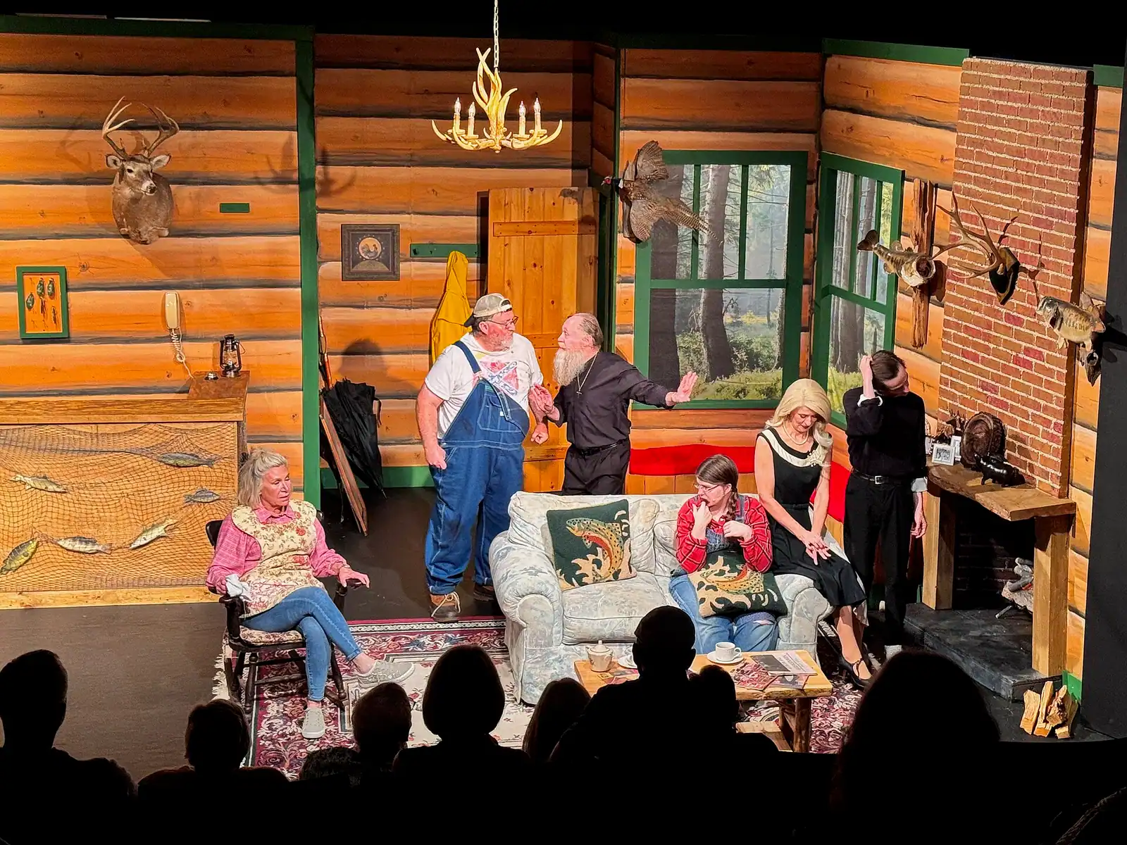
A volunteer theatre with three separate spaces, in its twenty-eighth season, five minutes from the depot.
2–3 hoursPaid tickets by production, sold through the theatre's box office.
Photograph: Harrison Keely

Small-batch wine and mead from the ridges above Blue Ridge, in a county that is a long way from Georgia's established wine country.
1–2 hoursTastings charged per flight; bottles sold at the door.
Photograph: Thomson M

The Tennessee half of the twin towns, and the edge of a copper basin that was stripped to bare red clay and then replanted.
1–2 hoursFree. Walking the town, the bridge and the river bank costs nothing.
Photograph: Thomson20192

Georgia's tallest waterfall at 729 feet, about an hour south, with a staircase of six hundred-odd steps up the side of it.
1.5–5 hoursGeorgia state park daily parking pass per vehicle; annual passes available.
Photograph: Thomsonmg2000

The same water as the Toccoa, over the state line and released from a dam: class III-IV rafting about an hour from a Blue Ridge cabin.
4–8 hoursThe river corridor is free to visit; commercial rafting is booked and paid per person.
Photograph: Thomson200

The Apple Capital of Georgia: a courthouse square, two rivers meeting, and orchards that turn the whole county into a queue in October.
2.5–6 hoursFree to visit. Orchards charge for fruit and for u-pick by weight.
Photograph: Nyttend

A Georgia town of about 1,150 people that shares its high street, its river and its bridge with a different state.
1–3 hoursFree. Walking to the state line and the river costs nothing.
Photograph: Unknown authorUnknown author or not provided

The public way onto Lake Blue Ridge: a small sand beach, 42 forest campsites and a ramp, in a village that used to run the county.
2–5 hoursDay-use parking fee per vehicle; camping charged per night.
Photograph: Thomson200

The Forest Service put-in at the head of a 13.8-mile river trail, forty minutes up the Toccoa valley from Blue Ridge.
2–8 hoursDay-use parking fee; camping charged per night.
Photograph: Unsplash
Every pin is also a link in the index beside it, so the list works before the map loads.
Every place shown on this map is also listed below as a link, grouped by area.
© OpenStreetMap contributors
The directory lists places. These pages plan days.

Almost nobody comes to Blue Ridge and stays in a hotel. They rent a cabin, usually for two or three nights, usually up a slope somewhere off a…
Photograph: Unsplash

Blue Ridge is here because a railway got here first. The Marietta and North Georgia pushed its line this far up the mountains in 1886, the town was…
Photograph: Unsplash

Fannin County has roughly 25,000 residents spread across 392 square miles, and about nine in ten of them live outside any town limit. That is a…
Photograph: Unsplash

Fannin County holds something in the region of 106,000 acres of the Chattahoochee National Forest, roughly three hundred miles of trail and a…
Photograph: Unsplash

Look at Lake Blue Ridge from a boat in the middle and count the houses. On most stretches the answer is none. The shoreline is trees to the…
Photograph: Unsplash

Fannin County sits in the top corner of Georgia, which means the most interesting things within an hour of your cabin are frequently not in Georgia…
Photograph: Unsplash

Twenty-six miles up the Toccoa and back, with two hours on the Georgia-Tennessee line in the middle. The choices that matter are made at booking, not at the depot.
7 min readDarlene Pickett
Photograph: Unsplash
Cabins, the scenic railway and apples. Fannin County has a very large short-term cabin rental market in the woods around the town, the Blue Ridge Scenic Railway runs a 26-mile round trip along the Toccoa River to the Georgia-Tennessee state line, and Mercier Orchards has grown apples here since 1943. The county also calls itself the Trout Fishing Capital of Georgia and holds roughly 106,000 acres of the Chattahoochee National Forest.
The standard excursion is about four hours: roughly an hour out along the Toccoa River, about a two-hour layover in McCaysville, Georgia and Copperhill, Tennessee, and an hour back. A shorter express without the layover runs on selected dates. The round trip covers 26 miles of track. Timetables change between seasons, so check the current schedule rather than relying on a figure quoted in an article.
It has been closed for repair at times, so check before you drive out. The bridge is a suspension footbridge carrying the Benton MacKaye Trail over the Toccoa in the Chattahoochee National Forest, reached on unpaved forest road about forty to fifty minutes from town. Current closures are posted in the Chattahoochee-Oconee National Forest alerts rather than anywhere a visitor would find by accident.
That is the local claim, and you will see it on signage and in brochures. Treat it as a claim rather than a measured fact: published lengths for it vary, and "longest swinging bridge" has no single agreed definition. What is not in doubt is that it is long enough to move underfoot in a way people remember, and that it carries a national long-distance trail across a genuinely lovely stretch of river.
Stand in two states at once, mainly. McCaysville and Copperhill, Tennessee sit either side of the state line with the border painted across the pavement, and photographing your feet on it is the tradition. Beyond that there are a couple of streets of shops and places to eat, the river bridge where the Toccoa becomes the Ocoee, and the copper-mining history of the basin. Allow two hours, not a day.
No. It is a reservoir created by the Blue Ridge Dam across the Toccoa River, completed in 1930 and managed by the TVA. It holds around 3,300 acres of water with roughly sixty miles of shoreline, most of it Chattahoochee National Forest rather than private land, which is why it looks so undeveloped. The level is drawn down about twenty feet over winter, so the shoreline changes dramatically between seasons.
Farther in time than in miles. Springer Mountain sits at 3,770 feet on the Fannin and Gilmer county line, and the usual approach is Forest Service Road 42, a long unpaved drive that takes well over an hour from town and considerably longer after storms. It is the southern terminus of the Appalachian Trail and the start of the Benton MacKaye Trail. Treat it as a full-day outing, not a stop.
Several, and the two most manageable are Fall Branch Falls off Stanley Creek Road, which is a short but steep walk from the road, and Long Creek Falls, roughly a mile from Three Forks where the Appalachian Trail and Benton MacKaye Trail share a route. Amicalola Falls, the big one, is about an hour south in its own state park. All of them run best after rain and can be a trickle in a dry late summer.
Yes. The Swan Drive-In in Blue Ridge is one of a small number still operating in Georgia and shows current releases rather than classics. It runs seasonally rather than all year, and screenings depend on the weather and the programme. Check what is playing and whether it is open on the night you want, because a drive-in in the mountains does not keep city hours or a city calendar.
Cherry Log sits between them and has Expedition Bigfoot, a sasquatch museum that is far more entertaining than it has any right to be and takes under an hour. Ellijay itself, about thirty minutes west, is Georgia's other apple town with its own orchards and a small square, and it is the way into the Cohutta Wilderness, the largest roadless area in the eastern national forests. The drive is mostly four-lane.